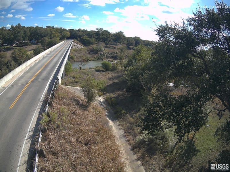
Blanco River at Fischer Store Road near Fischer, Texas · one day with a picture this year · newest picture October 24
Cameras on the wall and in the list below
Sort
Show
How the wall is ordered
Under Most color now, the pictures from the newest four days come first, and among them the clearest and most colored lead: each picture is measured when the page is built, for how much of what the wall shows of it is in autumn reds, oranges and golds, how much fine detail fog, rain or a wet lens has left it, and how well it is lit. Older pictures follow, newest first. The word under each picture sets the camera’s newest picture against its own earlier days this year, never against another camera’s: still green, changing color, at its best, or past its best once its color has clearly fallen, bare branches included. A camera whose saved pictures begin only after the places around it were expected to peak says too few days to say instead, and one with fewer than three clear days, not enough clear days to say. A river camera’s picture is mostly water and bank, so it carries no word and follows every forest and park camera. The word beside each state or province is the one most of its forest and park cameras carry, and it speaks for those cameras rather than for any foliage report of its own, which can read differently the same week.