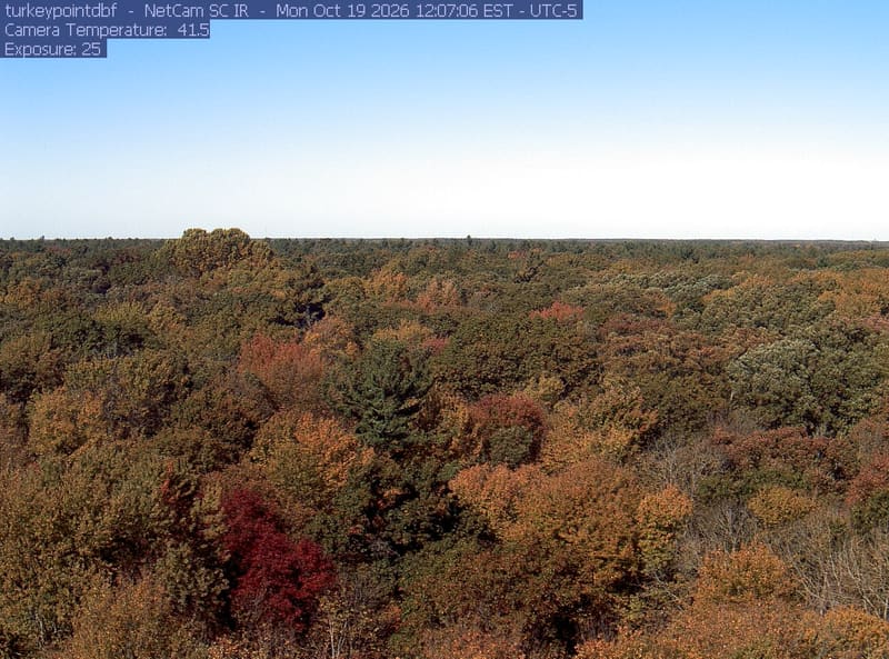
Turkey Point deciduous forest

The newest frame from every camera looked at each morning, sorted and shown as you choose; press one for its picture large, its days along the foot and a time lapse.

How the wall is ordered

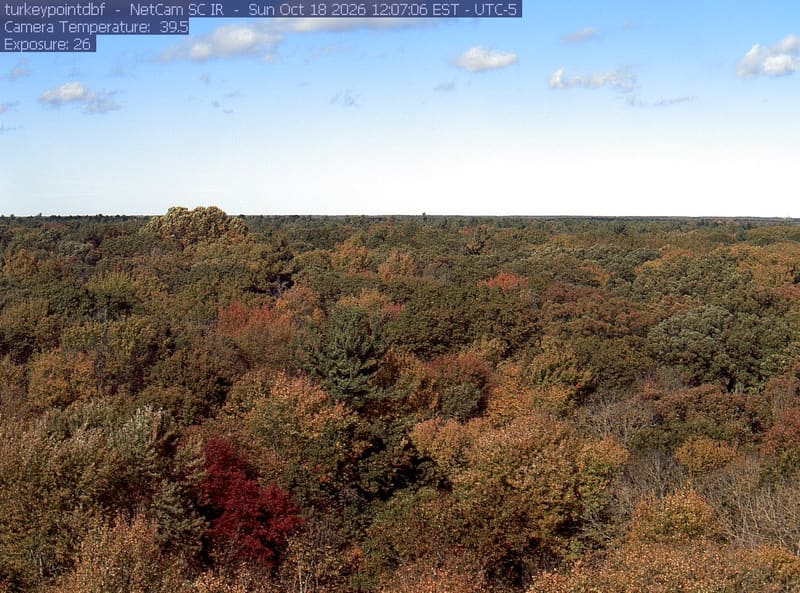
Under Most colour now, the frames from the newest day and the day before come first, and among them the clearest and most coloured lead: each frame is read when the page is built, for how much of what the wall shows of it is in autumn reds, oranges and golds, how much fine detail fog, rain or a wet lens has left it, and how well it is lit. Older frames follow, newest first. The word under each frame sets the camera’s newest frame against its own earlier days this year, never against another camera’s: still green, turning, at its best, or past its best once its colour has clearly fallen, bare branches included. A river gauge’s frame is mostly water and bank, so it carries no word.

All cameras

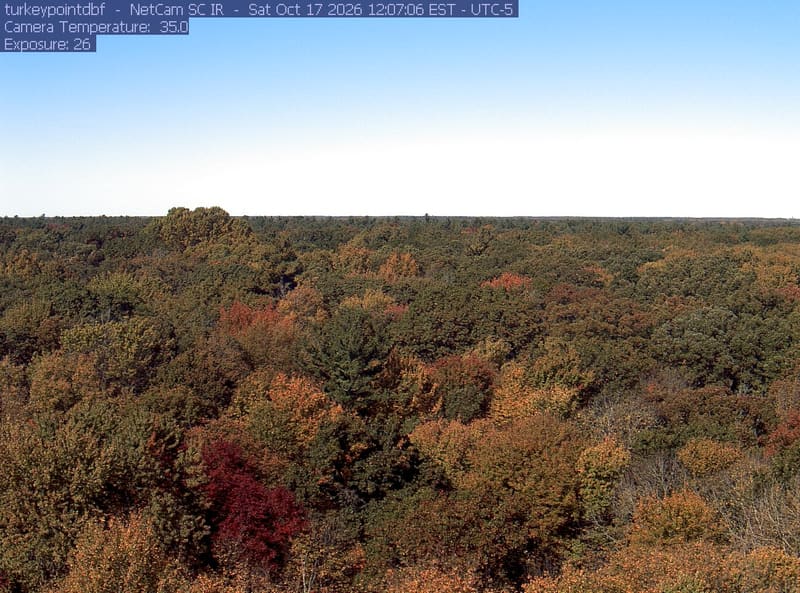
An extensive, clear woodland canopy runs to a low horizon beneath clouds. Most crowns remain green, with scattered yellow and rust-red patches, especially near the bottom edge.

Turkey Point deciduous forestOctober 19, 2026 · 12:07 camera time

Ontario

Ontario

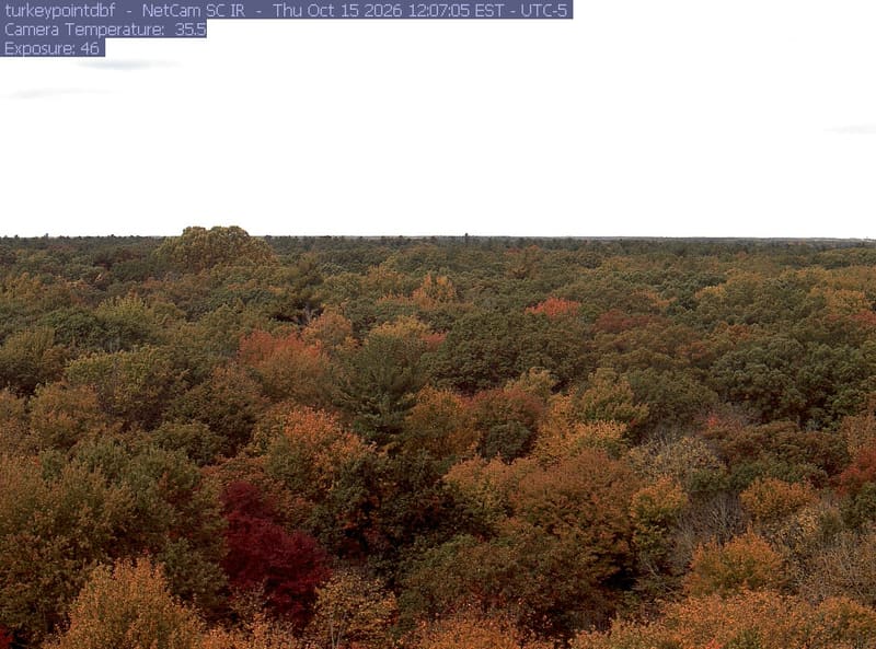
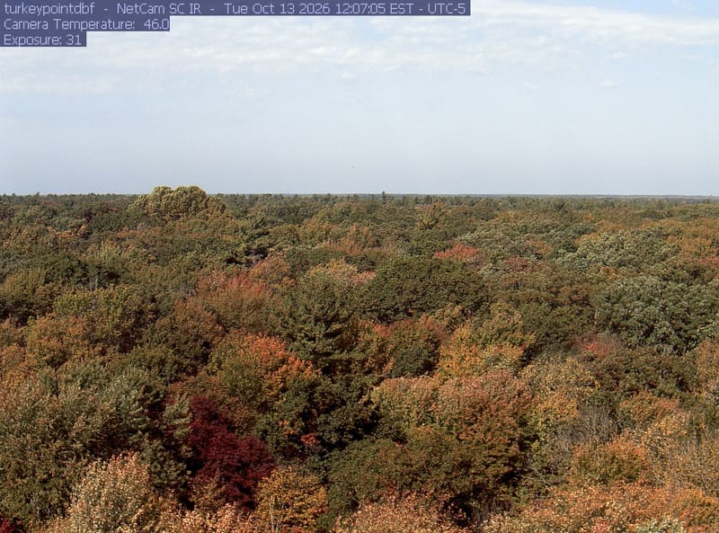
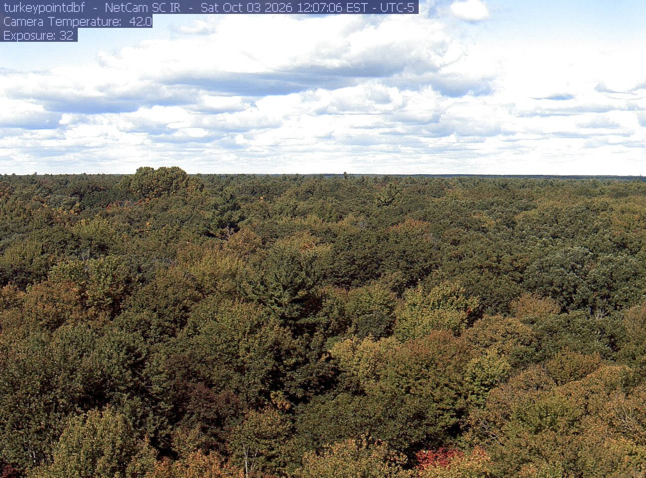
At its best · 6 days saved here this year, from October 3 to October 19, 2026

PhenoCam Network / Mature Deciduous Site, Turkey Point Carbon Cycle Research Project, Ontario, Canada

Each small map’s outline: Natural Earth
Acknowledgments

The PhenoCam network asks us to say:

Research at this site was funded by the Natural Sciences and Engineering Research Council (NSERC) of Canada, Canadian Foundation of Innovation (CFI), Ontario Ministry of Research and Innovation (MRI) and Ontario Ministry of Environment, Conservation and Parks (MECP). Support from Ontario Ministry of Natural Resources and Forestry (OMNRF), St Williams Conservation Reserve Community Council (SWCRCC), Long Point Conservation Authority (LPRCA), Whitside family and McMaster University is also acknowledged.