The whole Northeast · from a satellite
From space
The satellite pictures are unavailable. Please try again later.
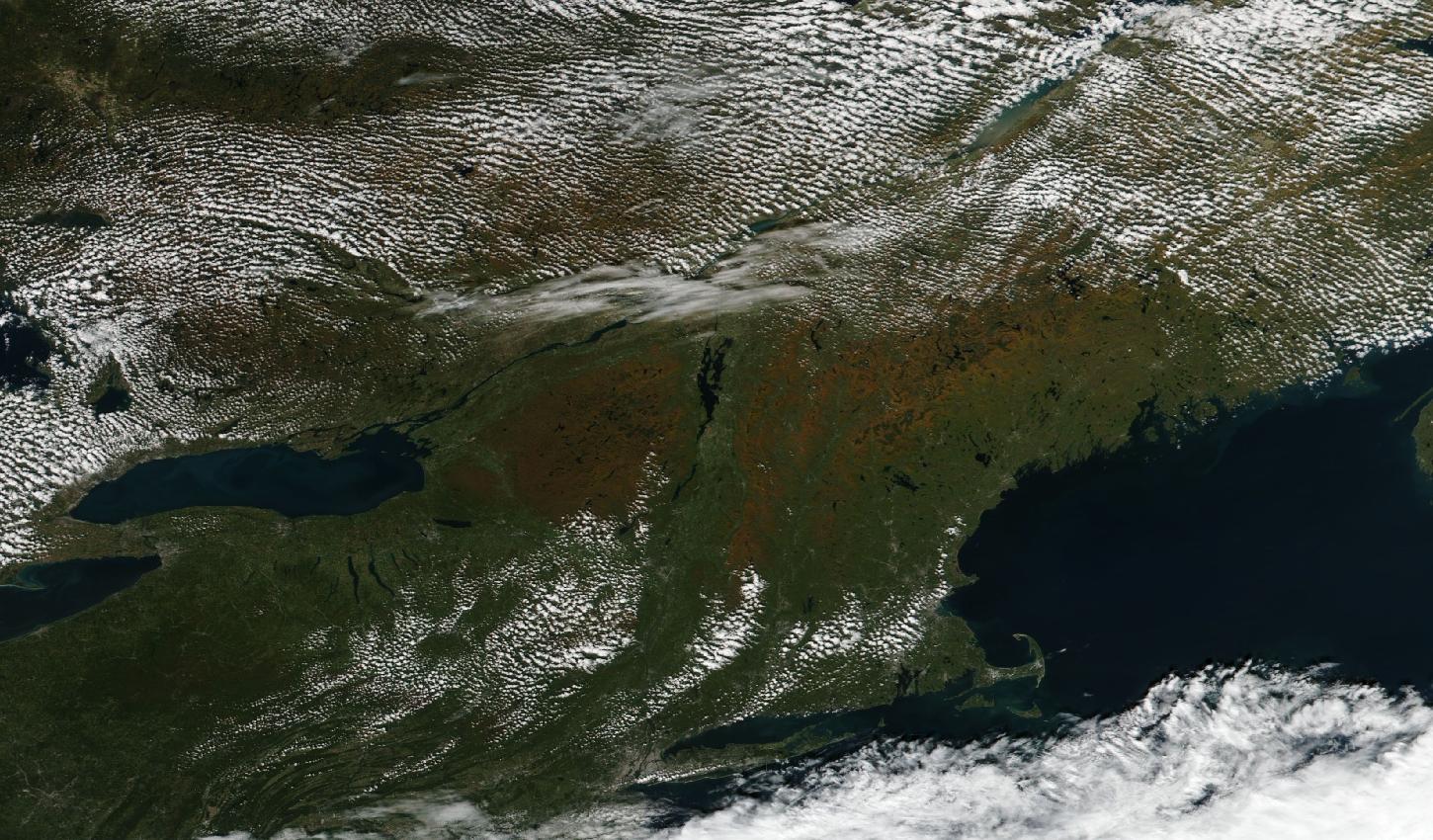
Clear over nearly all of New York, Pennsylvania and New England, where the land reads orange-brown across the Adirondacks, Vermont, northern New Hampshire and western Maine and green across Pennsylvania, central and southern New York, Connecticut and the coast, while small clouds dot Quebec, Ontario, the Catskills and the hills of western Massachusetts and a thin band of cloud lies along the St. Lawrence around Montreal.
Satellite: Suomi NPP / VIIRS.
Named places, from above
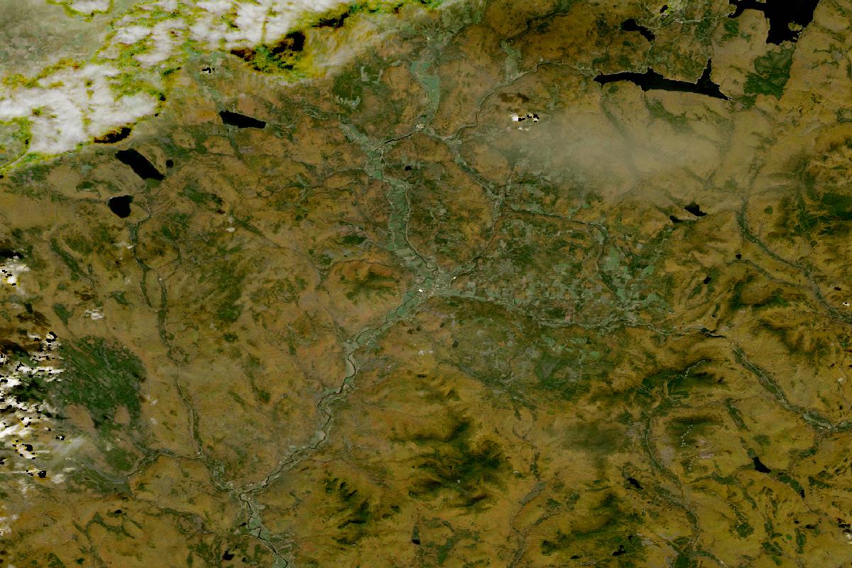
Great North Woods: Dixville Notch, Pittsburg & Errol
Mostly clear, with the land reading orange-brown across the hills and darker green in patches, while cloud covers the north-west corner and a thin haze lies over part of the north.
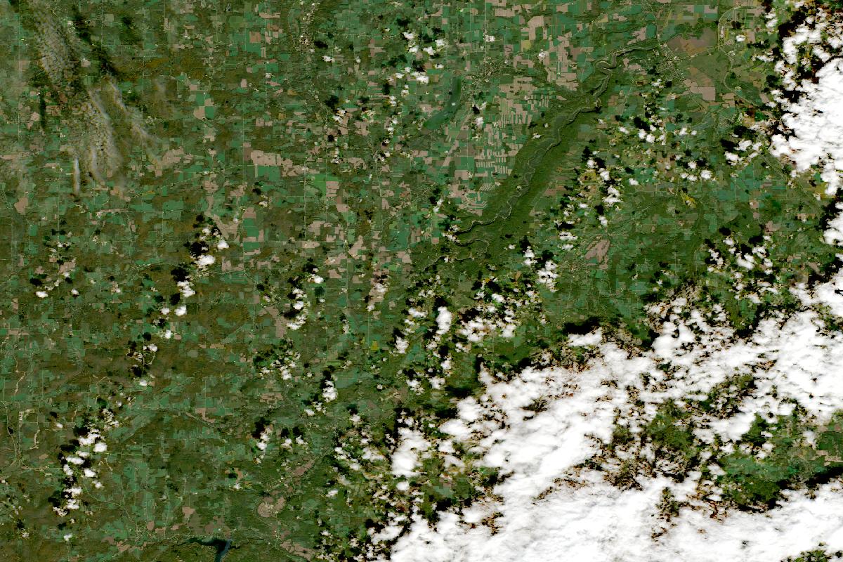
Letchworth State Park
Mostly clear, with the land reading green across the gorge and the farmland around it, while a bank of cloud covers the south-east corner and small clouds dot the middle.
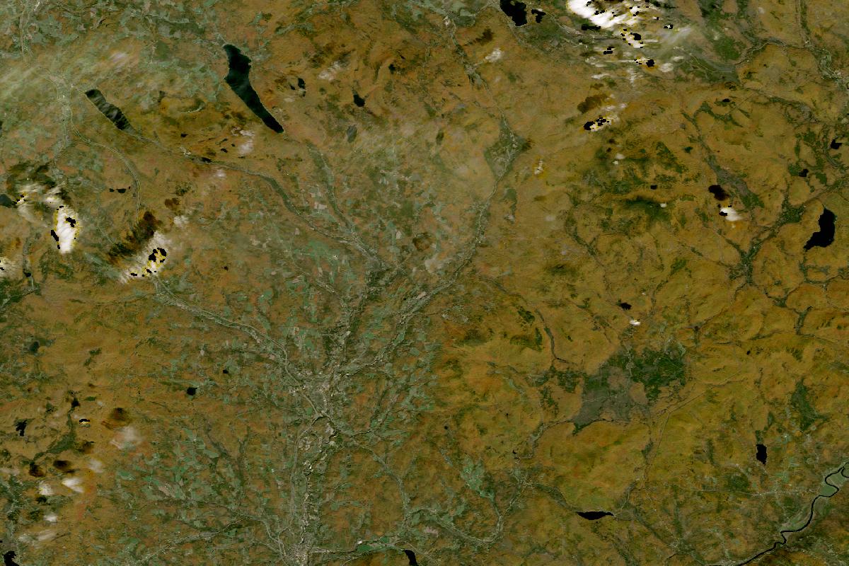
Northeast Kingdom: Peacham, Lake Willoughby & Burke
Clear, with the land reading orange-brown across the hills and grey-green along the valleys and around the towns, and only a few small clouds along the northern and western edges.
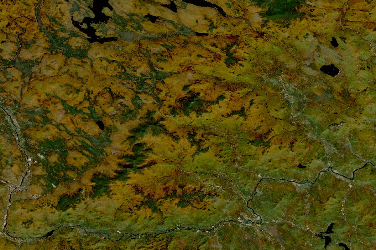
Bethel, Grafton Notch & Evans Notch
Clear, with the land reading orange-brown across the mountains and green in darker patches.
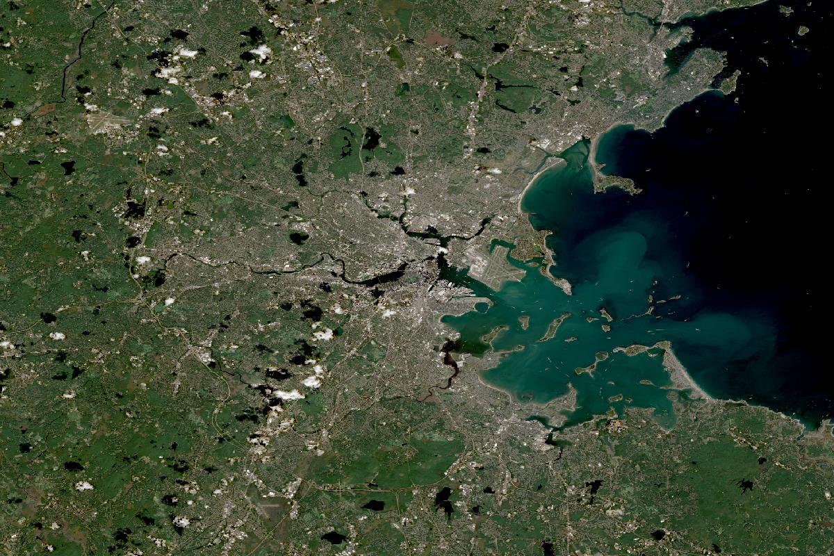
Boston & nearby: the Arboretum, Public Garden, Mount Auburn, Walden & the Blue Hills
Clear, with the land reading green around the grey of the city and the harbour, and a few small clouds over the western suburbs.
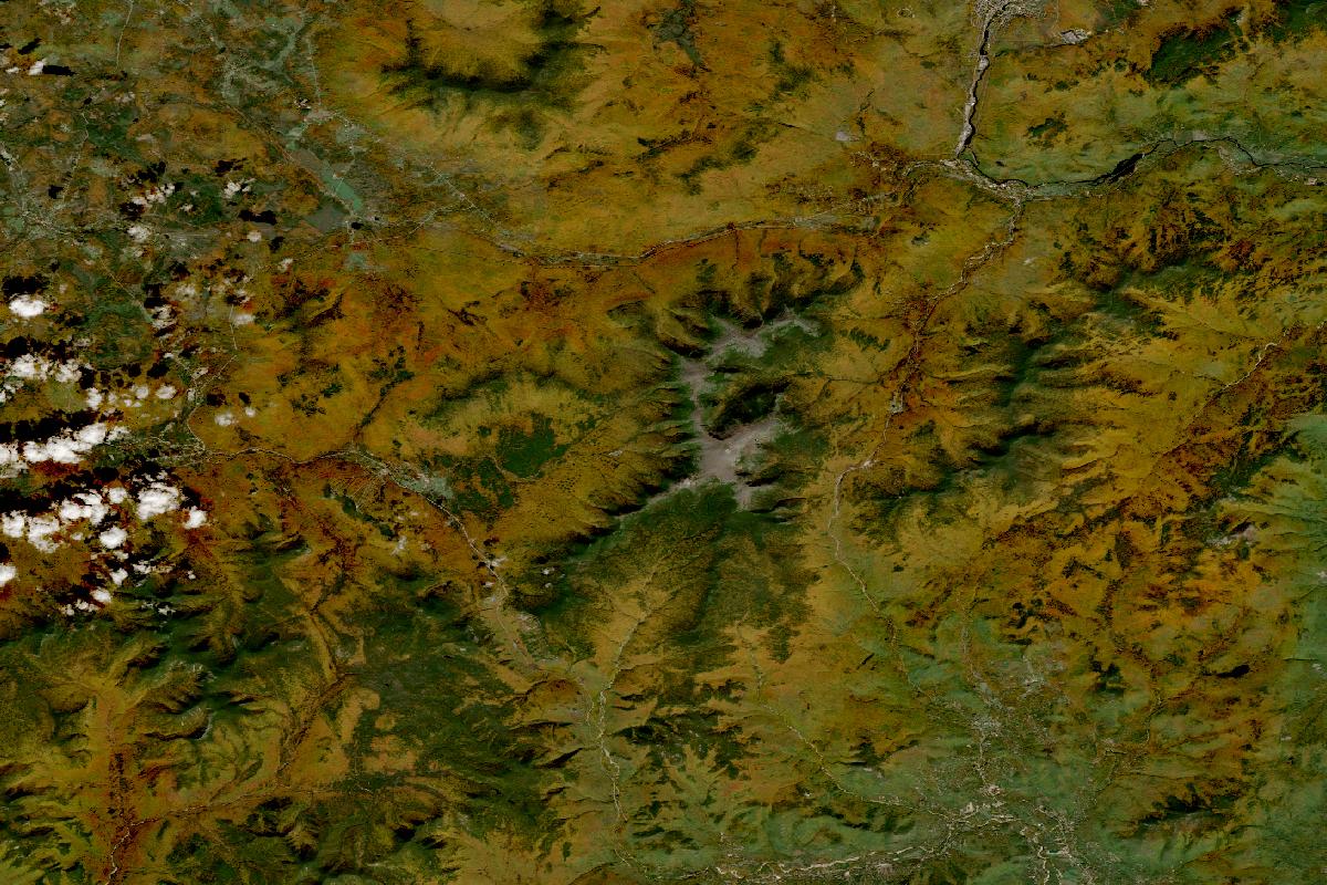
Crawford Notch, Bretton Woods, Mount Washington & Jackson
Clear but for small clouds at the western edge, with the land reading orange-brown in the valleys and lower slopes, dark green on the higher slopes and grey-brown on the bare summits near the middle.
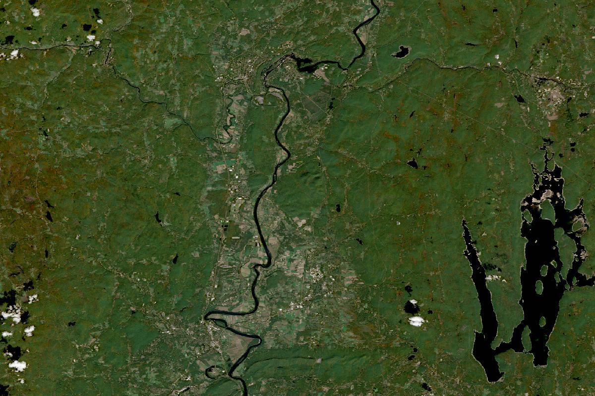
Deerfield, Mount Sugarloaf, Mount Holyoke & Shelburne Falls
Clear, with the land reading green across the Connecticut River valley and the hills on either side.
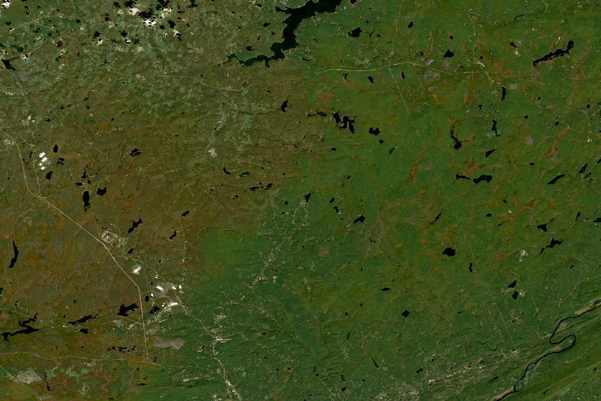
Delaware Water Gap, Bushkill, Dingmans & Milford
Clear, with the land reading green across the plateau and the ridges and a faint orange-brown cast in the north.
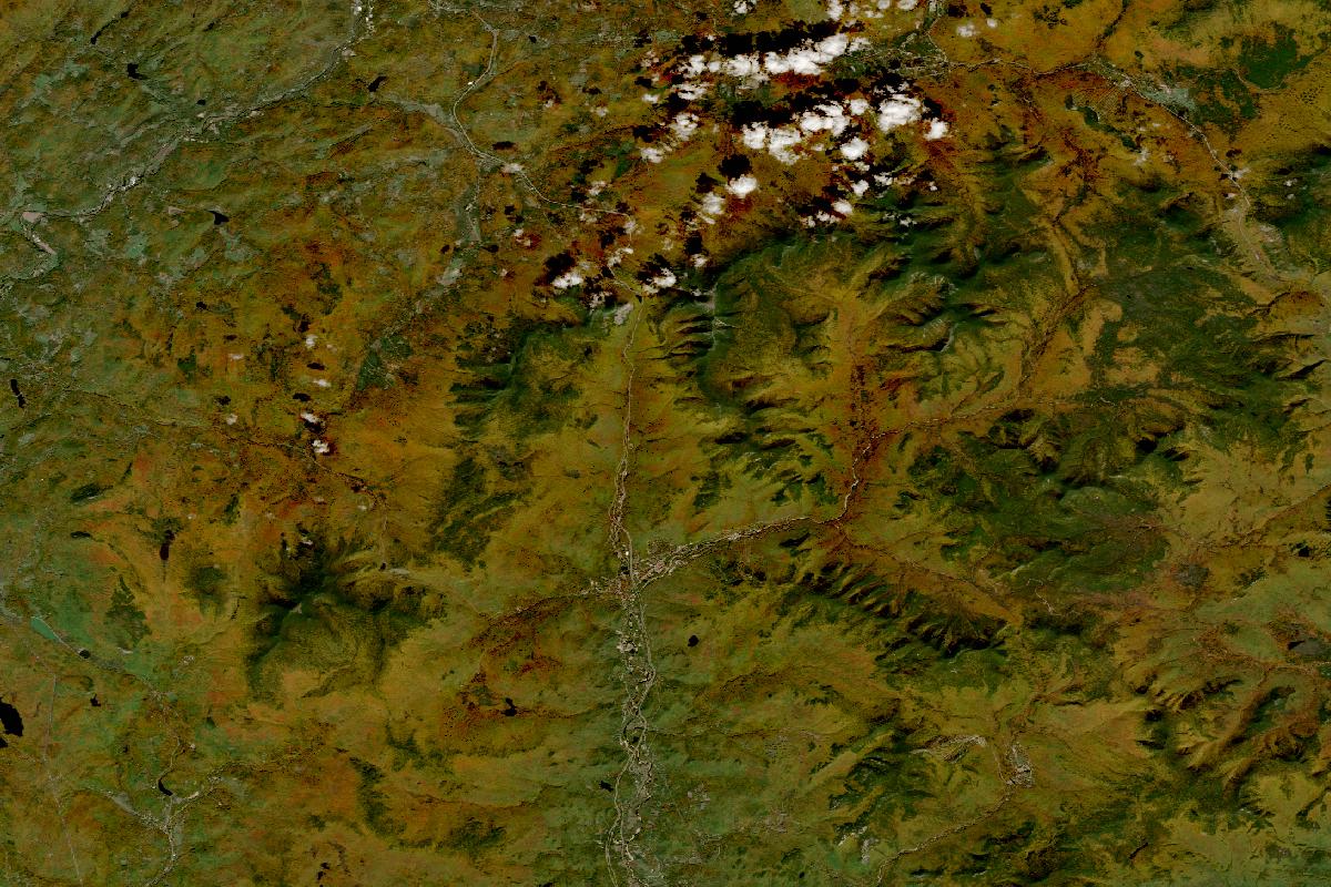
Franconia Notch, Sugar Hill & Artist’s Bluff
Clear but for a few small clouds along the top, with the land reading orange-brown across the slopes and dark green along the higher ridges.
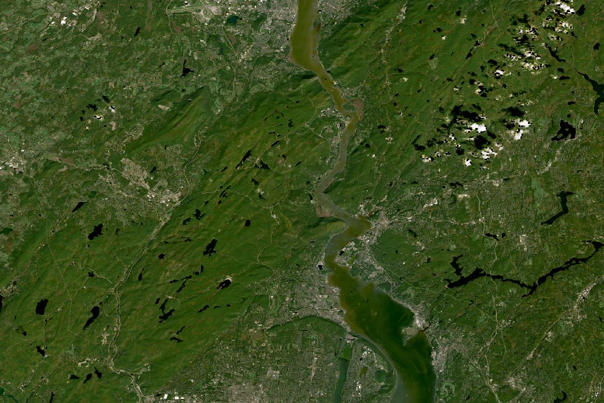
Hudson Highlands: Bear Mountain, Harriman, Storm King & Cold Spring
Clear, with the land reading green across the hills on both sides of the Hudson, and a few small clouds in the north-east.
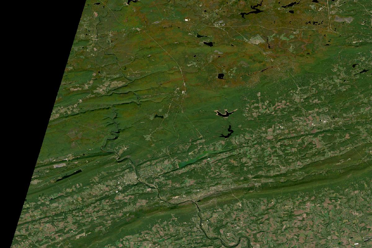
Jim Thorpe, Lehigh Gorge & Hickory Run
Clear, with the land reading green along the ridges and valleys and a faint orange-brown cast on the higher ground in the north; the black wedge at the western edge is where the satellite's strip ends.
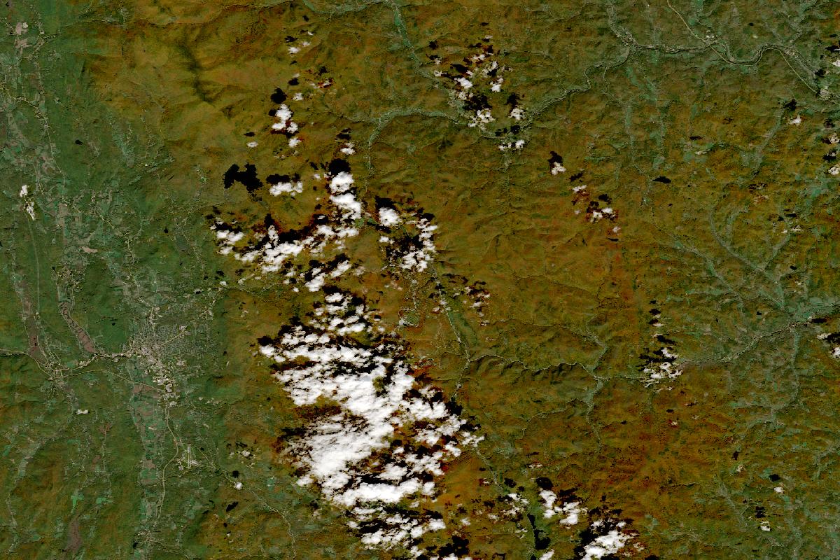
Killington, Rutland & Route 4
Mostly clear, with the land reading orange-brown over the mountains and green in the valley to the west, while a cluster of small clouds sits just left of the middle.
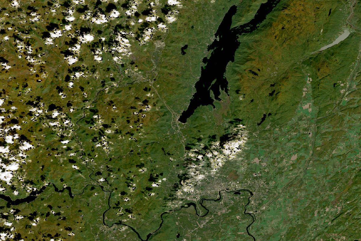
Lake George, Bolton Landing & Schroon Lake
Mostly clear, with the land reading green along the lake and the valley to the south and east and orange-brown in the hills to the west, while small clouds and their shadows cover much of the western third.
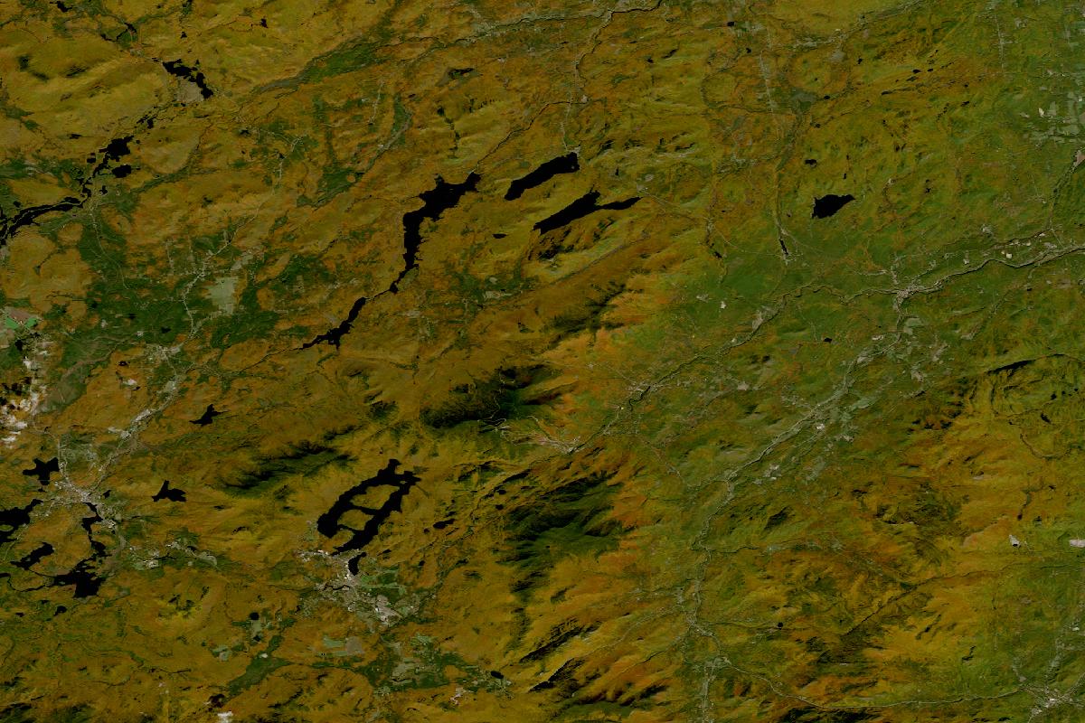
Lake Placid, Keene Valley, Whiteface & the High Peaks
Clear, with the land reading orange-brown across the High Peaks and the hills to the west and green over the lower land to the east.
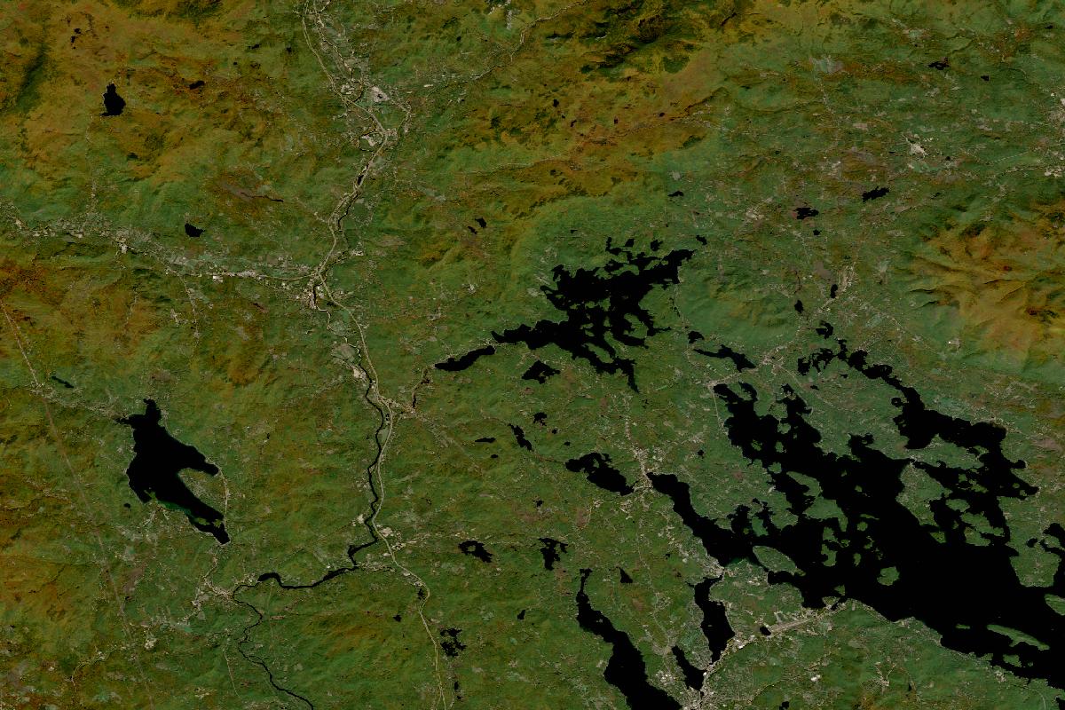
Lakes Region: Winnipesaukee, Squam & Castle in the Clouds
Clear, with the land reading green around the lakes and orange-brown on the hills along the northern edge.
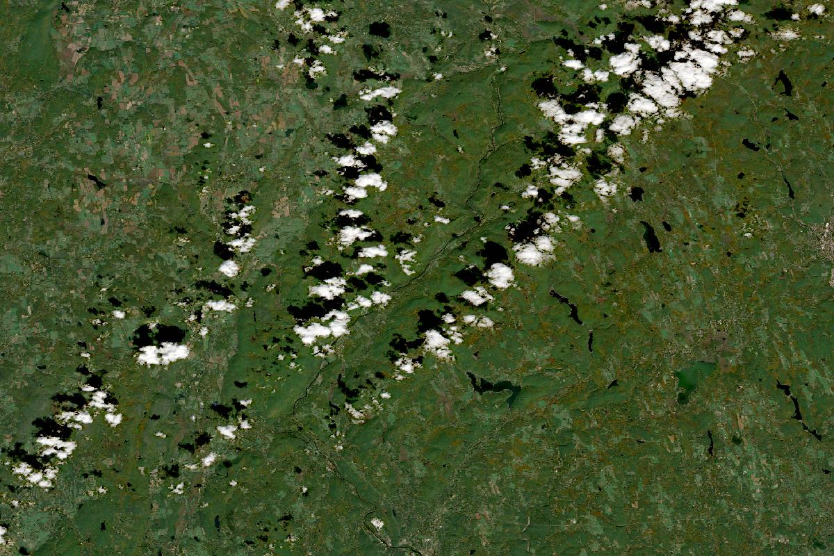
Litchfield Hills: Kent, Lake Waramaug, Cornwall & Mohawk Mountain
Mostly clear, with the land reading green throughout, while a diagonal line of small clouds crosses the northern half.
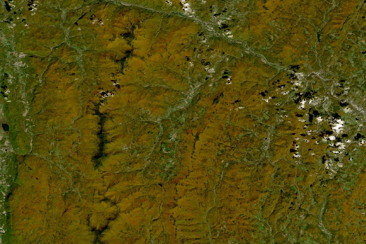
Mad River Valley & the gaps: Waitsfield, Warren, Appalachian & Lincoln Gap
Clear, with the land reading orange-brown across the ridges and the valley's slopes, darker along the stream lines and green at the western edge, and a scatter of small clouds on the eastern side.
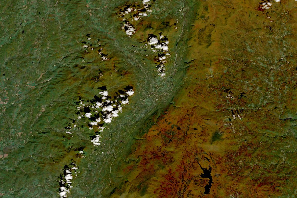
Manchester, Dorset & Mount Equinox
Mostly clear, with the land reading green along the valley and the hills to the west and orange-brown over the mountains to the east, deepest in the south-east, and a line of small clouds along the valley's edge.
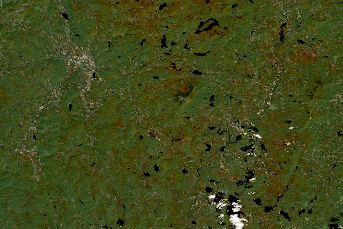
Monadnock region: Jaffrey, Keene, Harrisville & Peterborough
Clear, with the land reading green across the hills with scattered patches of orange-brown, and only a few small clouds in the south-east corner.
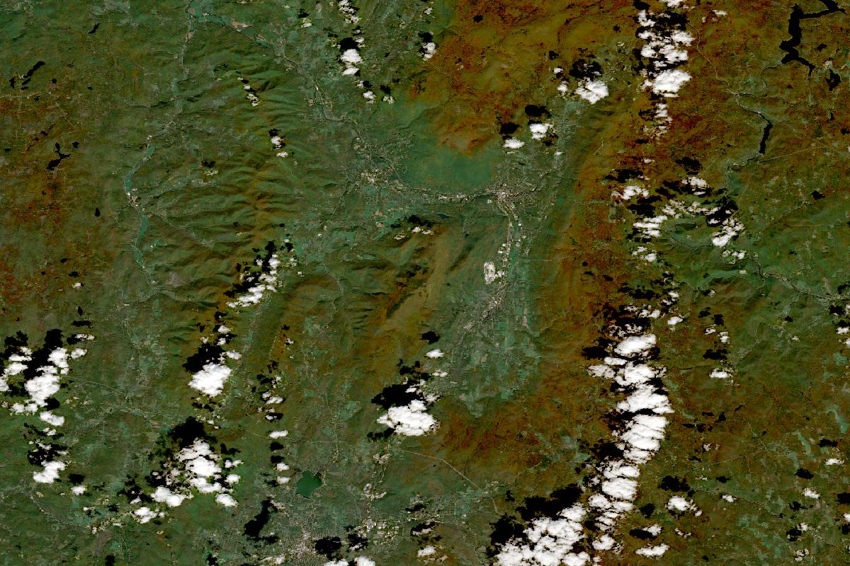
Mount Greylock, Williamstown & the western Mohawk Trail
Mostly clear, with the land reading orange-brown on the higher ground and green in the valleys, while a band of small clouds lies along the eastern side.
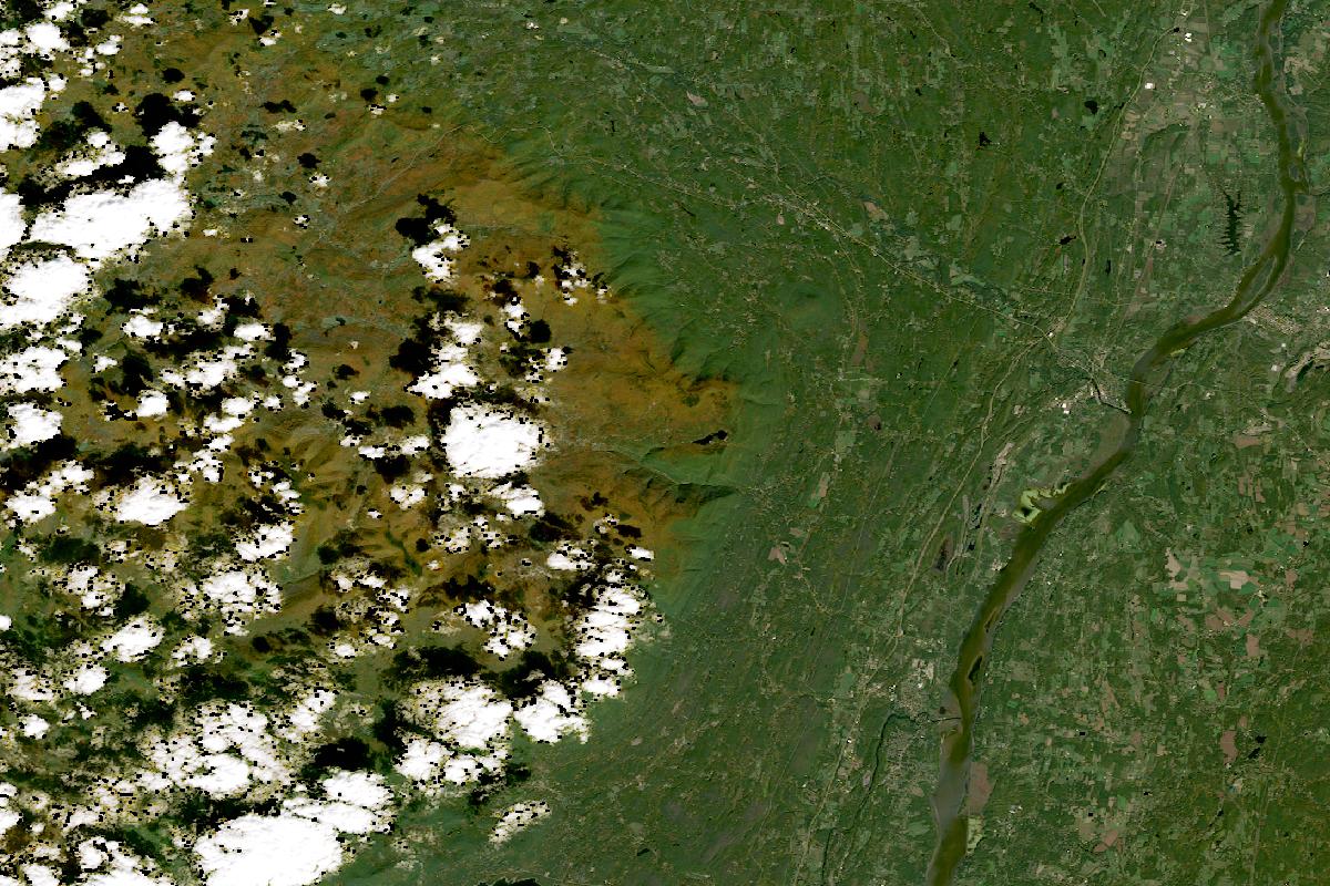
Northern Catskills: Kaaterskill, North–South Lake, Hunter & Windham
About two-thirds clear, with the land reading green across the Hudson valley to the east and orange-brown along the mountains' edge, while small clouds and their shadows hide much of the high ground to the west.
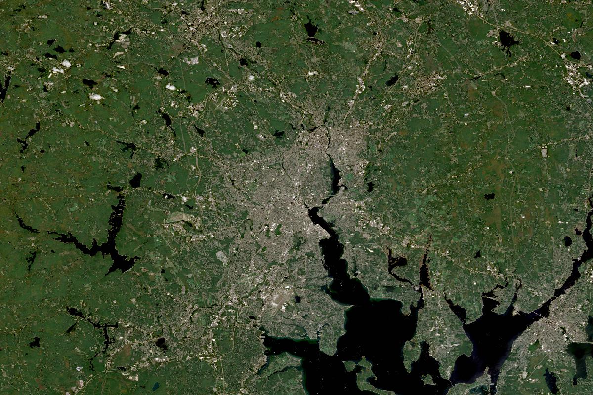
Providence, Lincoln Woods & the Blackstone Valley
Clear, with the land reading green around the grey of Providence and the head of Narragansett Bay.
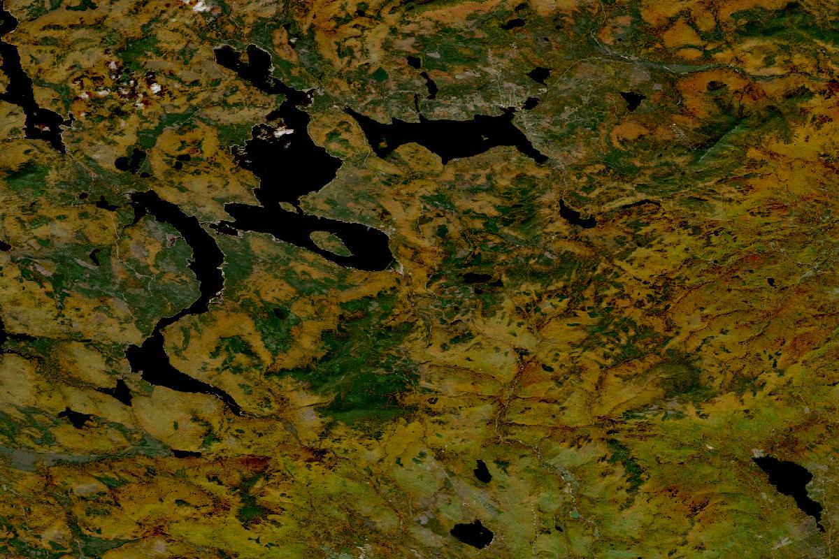
Rangeley Lakes & Height of Land
Clear, with the land reading orange-brown across the hills around the lakes and green in darker patches.
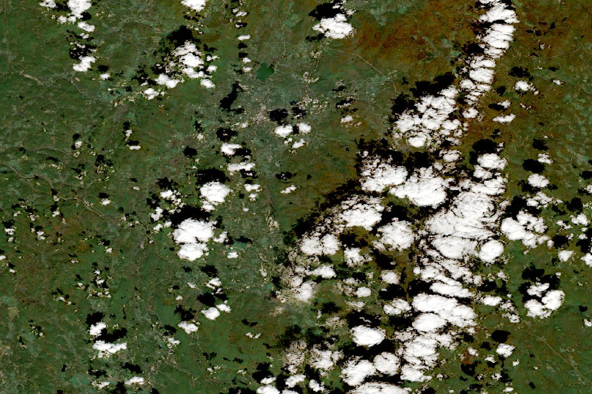
Stockbridge, Lenox, Great Barrington & Bash Bish
About two-thirds clear, with the land reading green across the western valleys and orange-brown on the hills to the north-east, while small clouds and their shadows cover much of the eastern side.
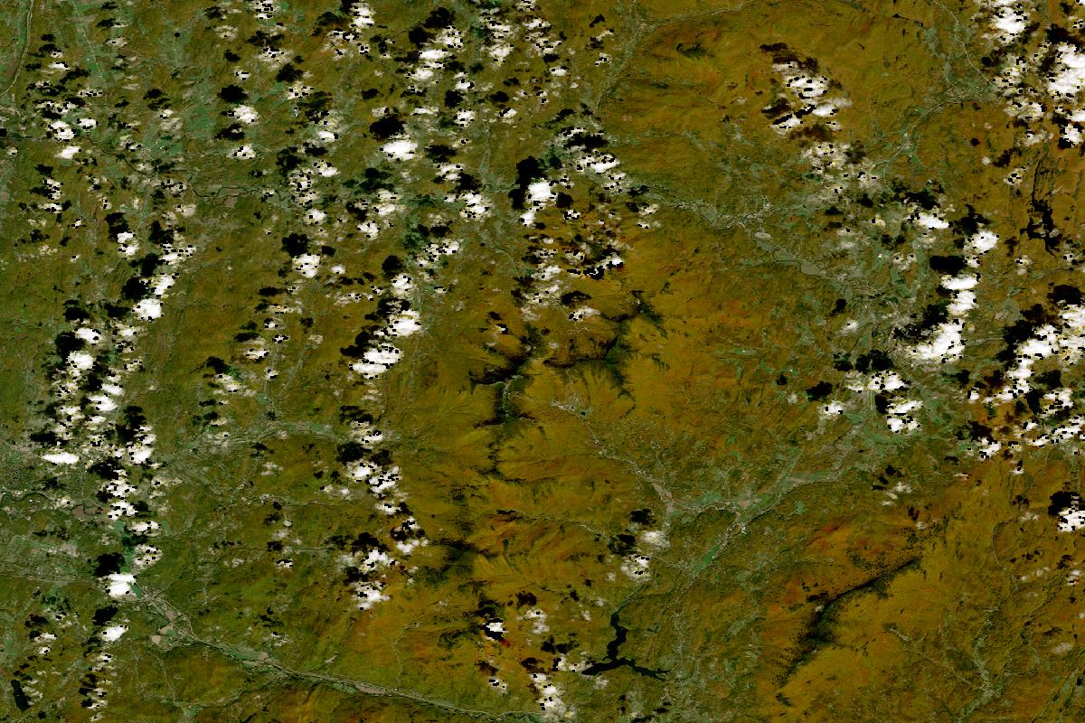
Stowe, Smugglers’ Notch & Mount Mansfield
Mostly clear, with the land reading orange-brown over the mountains around the notch and grey-green along the valley floors, while small clouds and their shadows dot the western third, the north and the eastern edge.
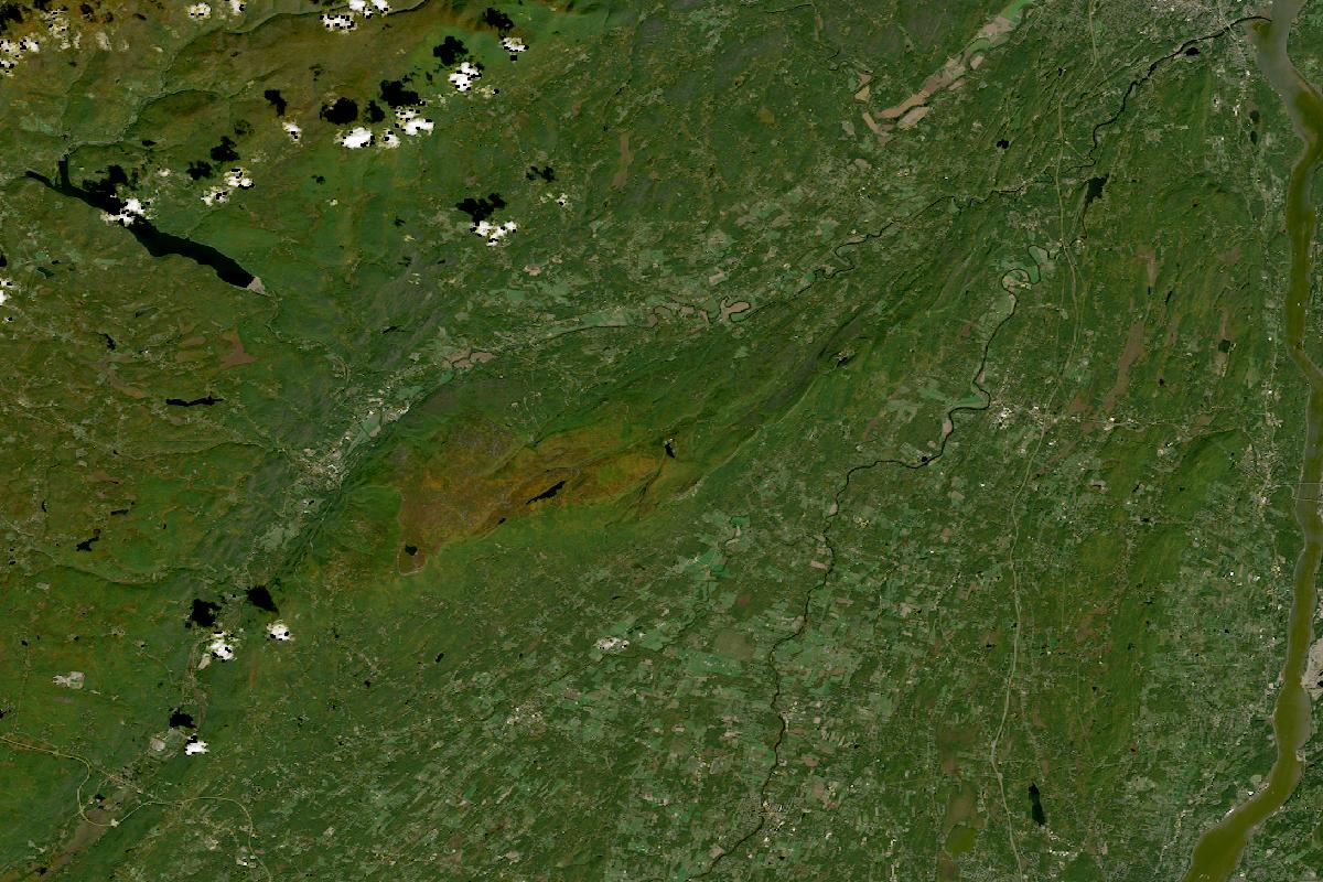
The Shawangunks: Minnewaska, Mohonk & New Paltz
Clear, with the land reading green across the ridge and valleys and orange-brown in a patch along the ridge's crest.
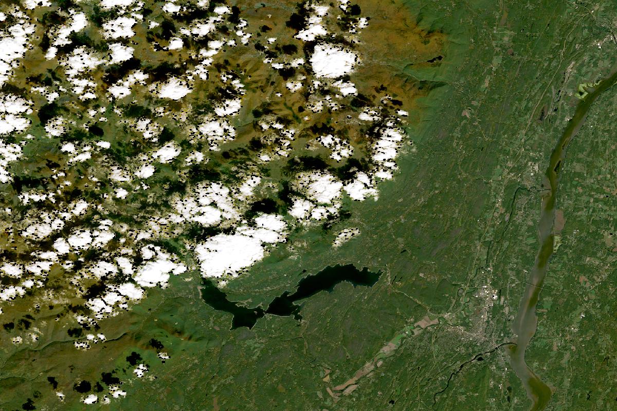
Woodstock, Overlook, Phoenicia & the Ashokan
About two-thirds clear, with the land reading green around the reservoir and across the Hudson valley, while small clouds and their shadows hide most of the mountains in the north-west, where the land between them reads orange-brown.
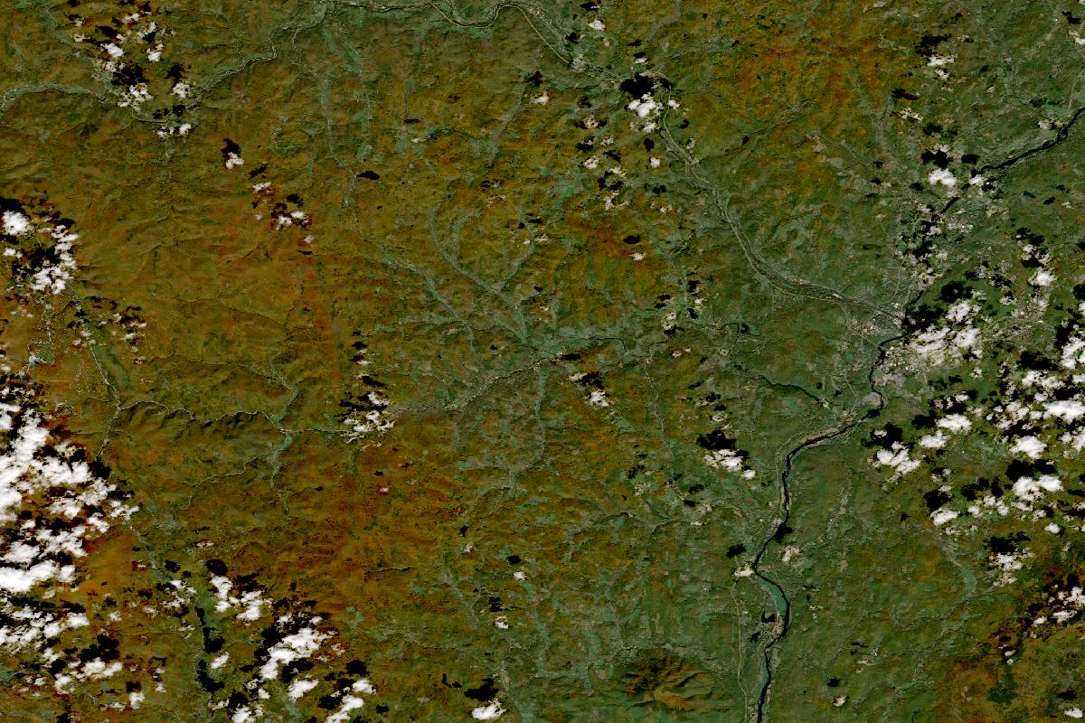
Woodstock, Quechee & Pomfret
Mostly clear, with the land reading orange-brown on the hills and green toward the Connecticut River in the east, and a few small clouds at the western and eastern edges.
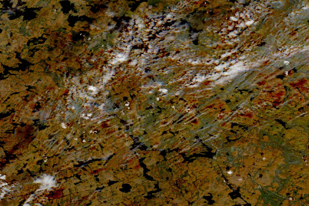
Algonquin Park, Highway 60
Mostly clear, with the land reading orange-brown across the forest, darker in patches, while thin streaks of cloud cross the middle and the north.
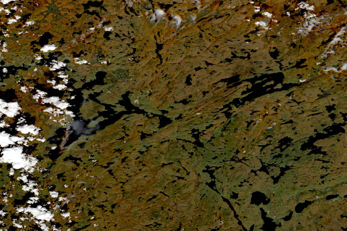
Muskoka, Dorset & Huntsville
Clear but for a line of small clouds along the western edge, with the land reading orange-brown across the forest around the lakes.
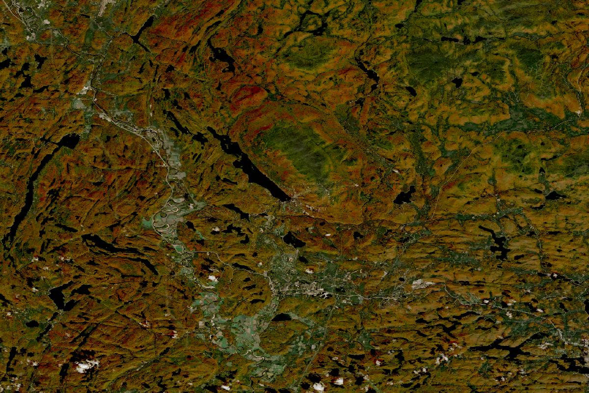
Mont-Tremblant & the Laurentians
Clear, with the land reading orange-brown across the hills, darker in patches, and green in a few lower places.
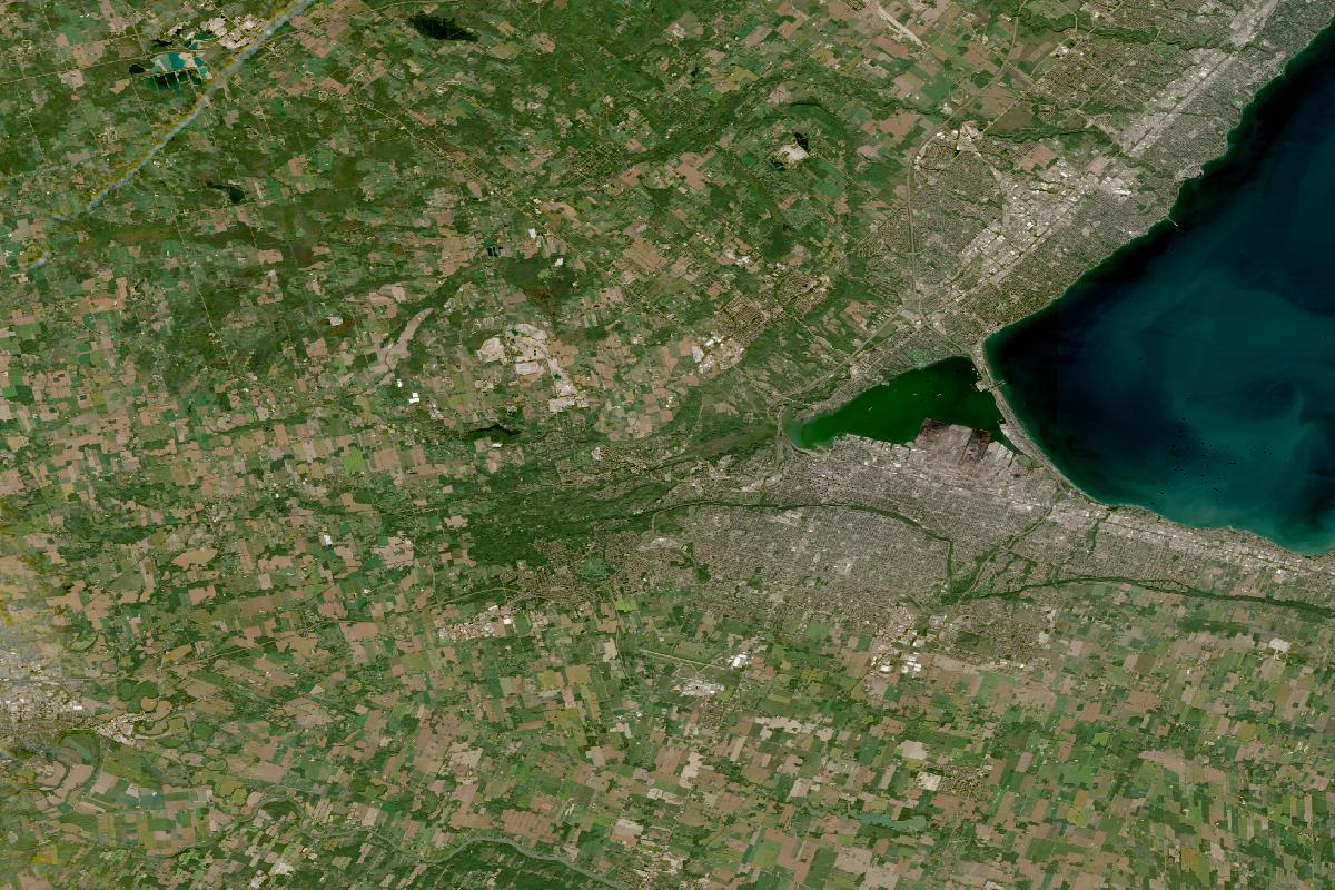
Niagara Escarpment & Toronto day trips: Dundas Peak, Rattlesnake Point, Forks of the Credit
Clear, with the land reading green along the wooded escarpment and across a patchwork of green and grey-brown fields around the grey of Hamilton at the western end of Lake Ontario.
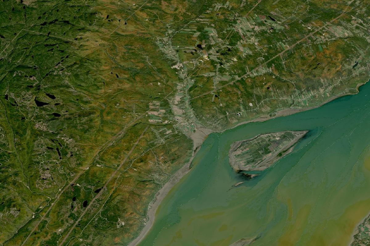
Charlevoix: Baie-Saint-Paul, Le Massif & the Hautes-Gorges
Clear, with the land reading green across the hills above the St. Lawrence and orange-brown on the higher ground, and the river with its island in the south-east.
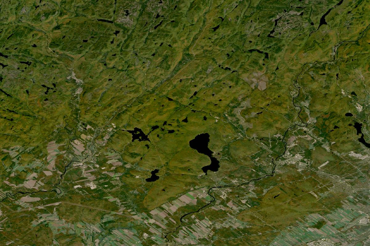
Québec City, Île d’Orléans, Montmorency & Jacques-Cartier
Clear, with the land reading green across the hills north of the city with an orange-brown cast in places, and grey-brown farm fields along the southern edge.


Acknowledgments
Copernicus asks us to say:
Contains modified Copernicus Sentinel data 2026.
Contains modified Copernicus Sentinel data 2025
NASA asks us to say:
We acknowledge the use of imagery provided by services from NASA's Global Imagery Browse Services (GIBS), part of NASA's Earth Science Data and Information System (ESDIS).