The season so far

Satellite days, the map week by week and daily camera photographs show how the view changes through the season.

July 19, 2026 – October 14, 2026

The satellite days

Each saved day shows the land and the clouds when the satellite passed. Differences in cloud, haze and light also change the picture.

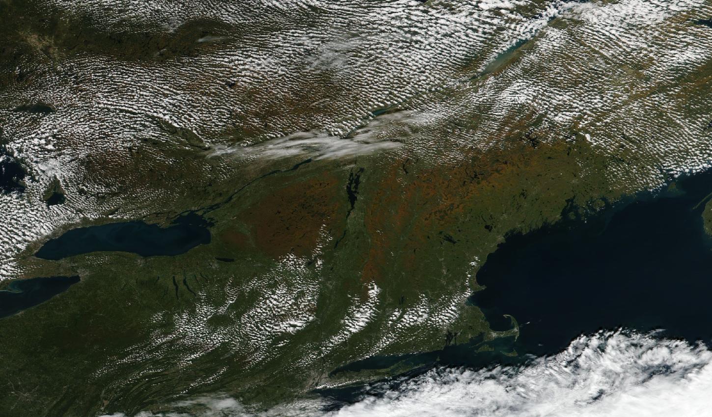
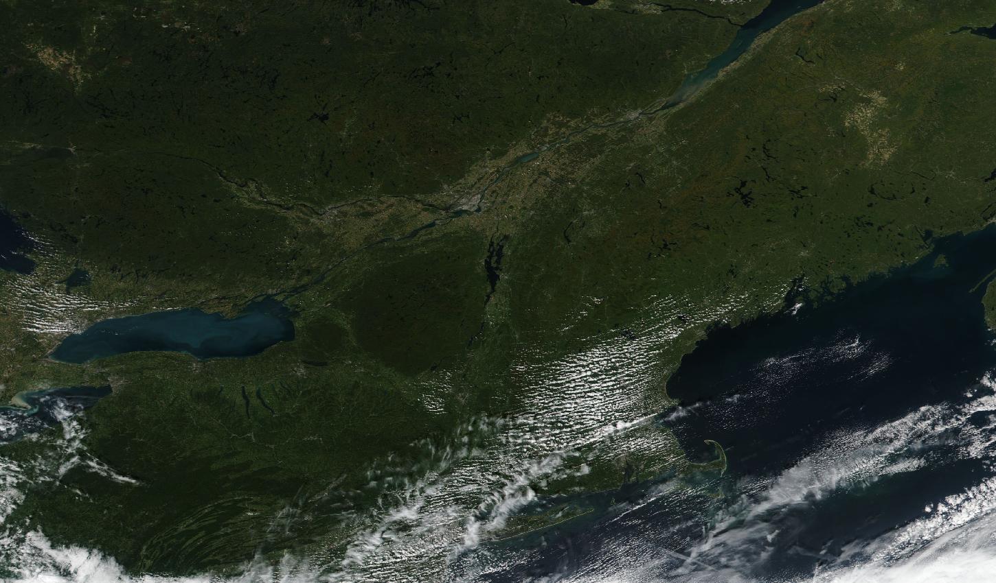
Clear over nearly all of New York, Pennsylvania and New England, where the land reads orange-brown across the Adirondacks, Vermont, northern New Hampshire and western Maine and green across Pennsylvania, central and southern New York, Connecticut and the coast, while small clouds dot Quebec, Ontario, the Catskills and the hills of western Massachusetts and a thin band of cloud lies along the St. Lawrence around Montreal.
· Suomi NPP

Clear over nearly all of New York, Pennsylvania and New England, where the land reads orange-brown across the Adirondacks, Vermont, northern New Hampshire and western Maine and green across Pennsylvania, central and southern New York, Connecticut and the coast, while small clouds dot Quebec, Ontario, the Catskills and the hills of western Massachusetts and a thin band of cloud lies along the St. Lawrence around Montreal.

Satellite: Suomi NPP / VIIRS.

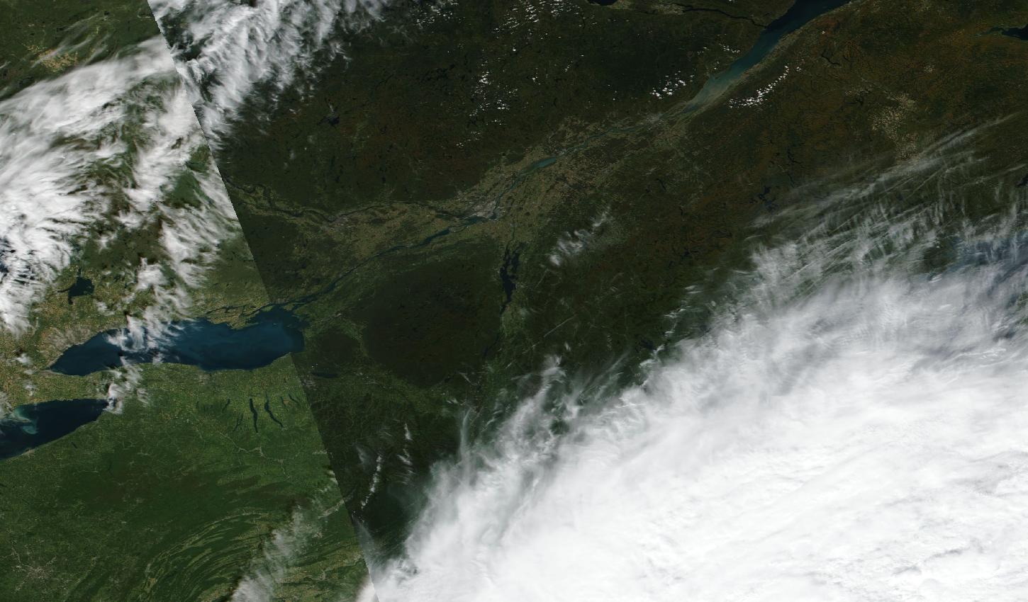
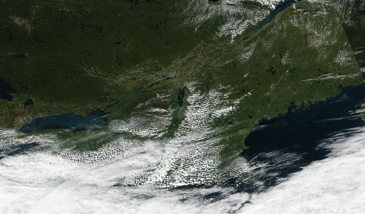
Clear from Pennsylvania and western New York across the Adirondacks, Vermont and northern Maine to Quebec, where the land reads mostly green with a brownish cast in the north-east, while streaky cloud covers southern Ontario and a broad bank hides southern New England, the lower Hudson valley and Long Island; the western strip looks brighter only because two satellite passes meet there.
· Suomi NPP

Clear from Pennsylvania and western New York across the Adirondacks, Vermont and northern Maine to Quebec, where the land reads mostly green with a brownish cast in the north-east, while streaky cloud covers southern Ontario and a broad bank hides southern New England, the lower Hudson valley and Long Island; the western strip looks brighter only because two satellite passes meet there.

Satellite: Suomi NPP / VIIRS.

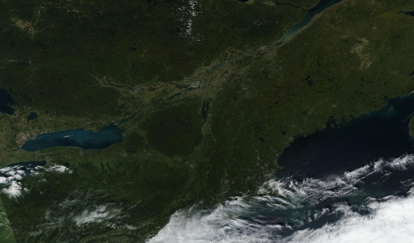
Nearly cloudless, with the land reading green from Pennsylvania to Quebec and Maine and cloud only along the southern shore by Long Island and in the far west by Lake Erie.
· Suomi NPP

Nearly cloudless, with the land reading green from Pennsylvania to Quebec and Maine and cloud only along the southern shore by Long Island and in the far west by Lake Erie.

Satellite: Suomi NPP / VIIRS.

Almost cloudless, with the land reading green across the whole region and wisps of cloud only over the lower Hudson valley, Connecticut and Long Island and beyond Lake Ontario in the far west.
· Suomi NPP

Almost cloudless, with the land reading green across the whole region and wisps of cloud only over the lower Hudson valley, Connecticut and Long Island and beyond Lake Ontario in the far west.

Satellite: Suomi NPP / VIIRS.

Clear over Ontario, most of Quebec, Maine and eastern Massachusetts, where the land reads green, while patchy small clouds cover the Adirondacks, Vermont, central New York and western Massachusetts and a solid bank hides Pennsylvania, southern New York, Connecticut and the sea.
· Suomi NPP

Clear over Ontario, most of Quebec, Maine and eastern Massachusetts, where the land reads green, while patchy small clouds cover the Adirondacks, Vermont, central New York and western Massachusetts and a solid bank hides Pennsylvania, southern New York, Connecticut and the sea.

Satellite: Suomi NPP / VIIRS.

The Northeast week by week

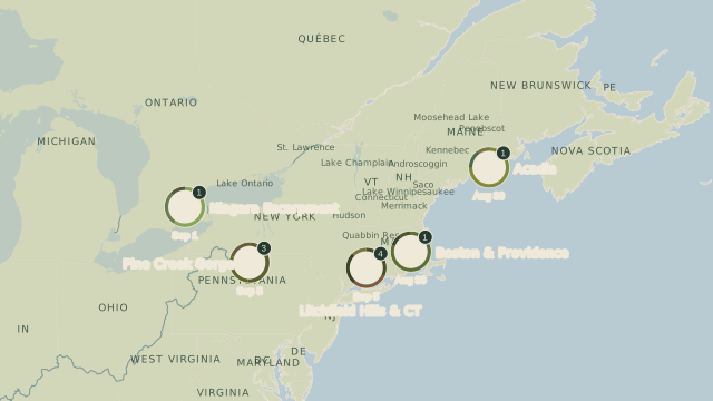
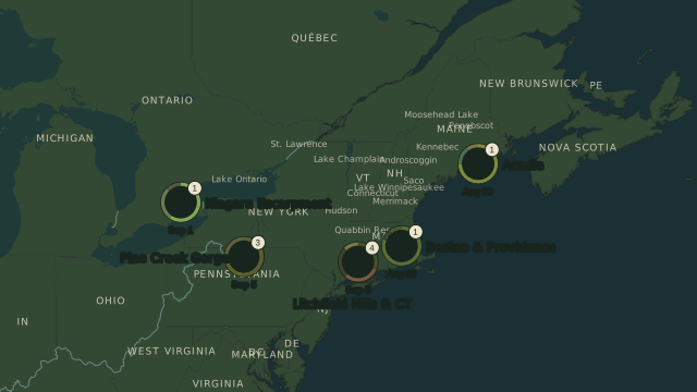
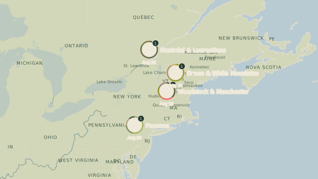
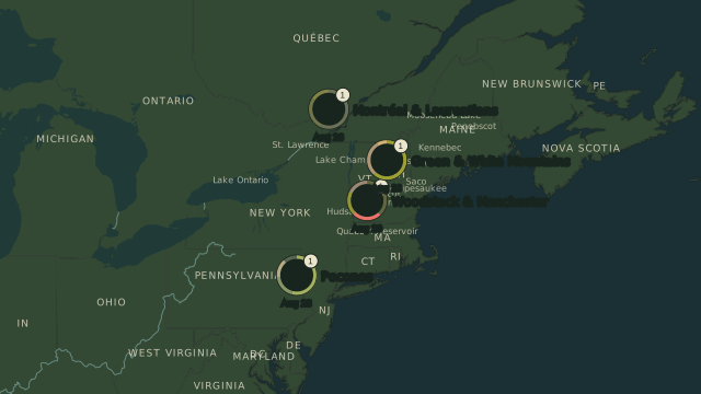
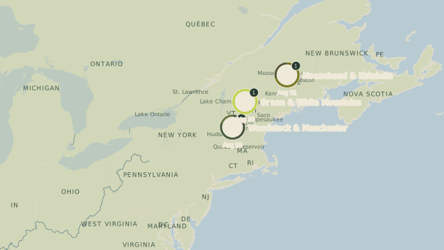
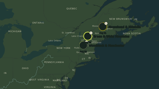
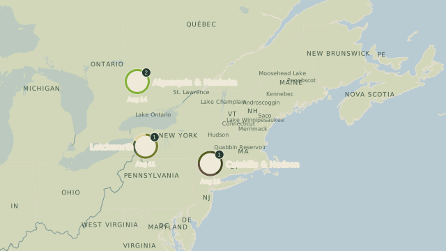
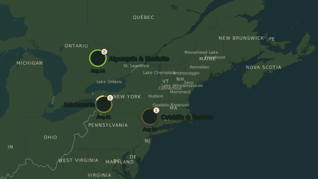
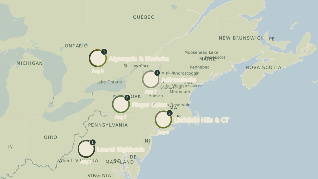
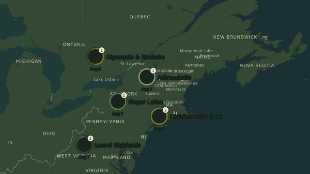
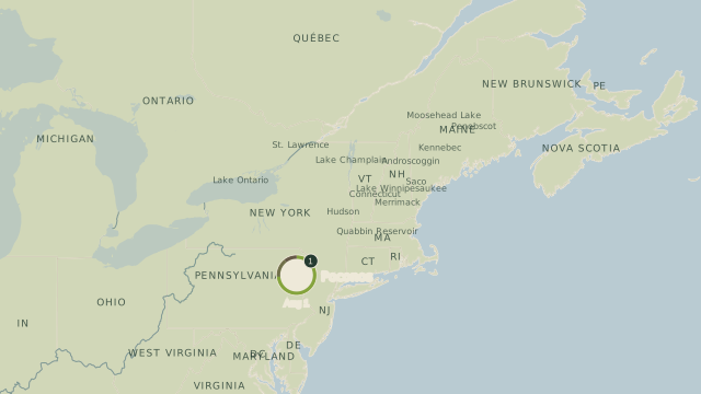
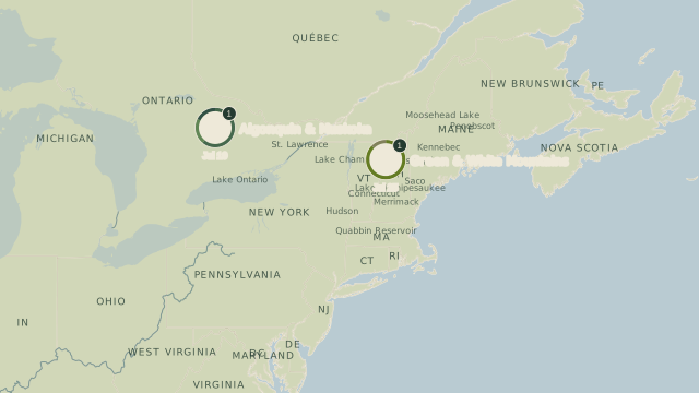
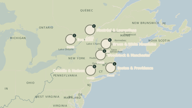
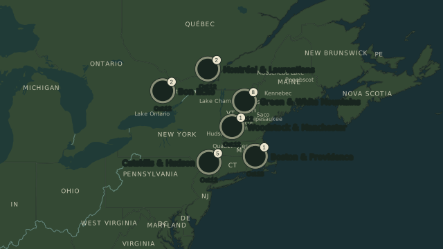
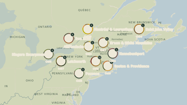
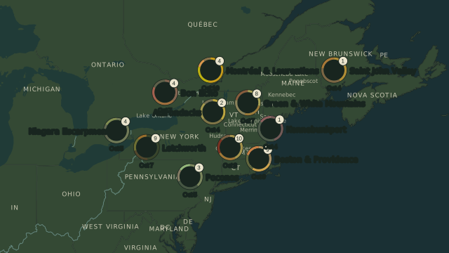
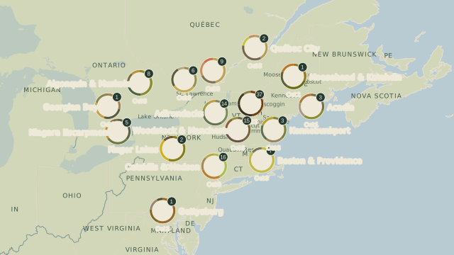
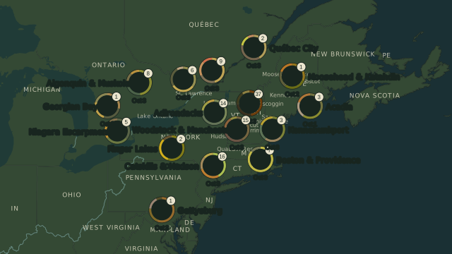
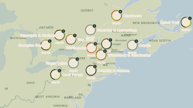
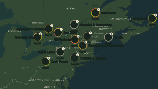
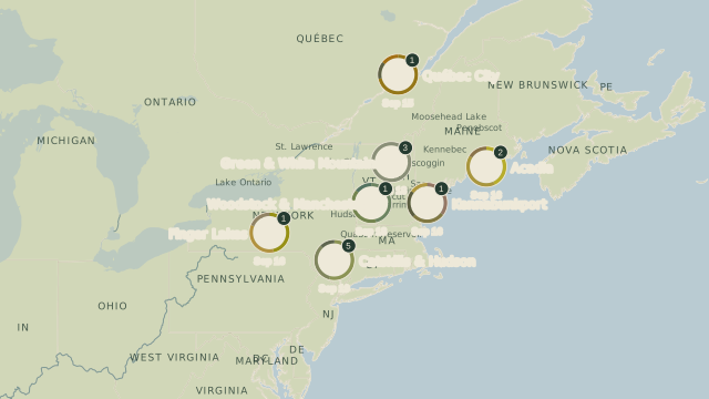
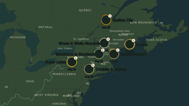
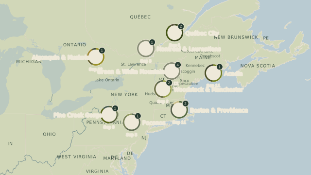
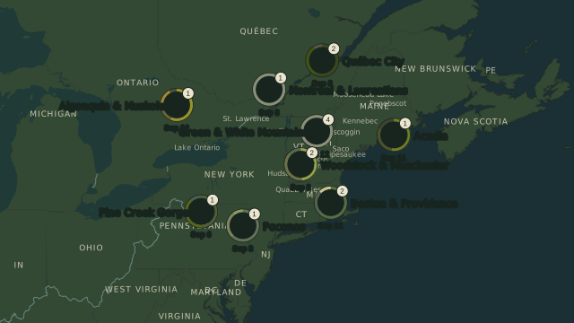
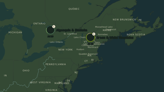
Each map uses only photographs from the dates beneath it. A circle marks an area with photographs and shows the newest photograph’s day and the number of saved views; the ring comes from colours measured in that photograph. An empty area has no photograph from that period.

–

19 photographs in this period · 6 circles on the map.

Photographs: thatcherciara · jschumacher · DubyDub2009 · Gangie (pronounced GangGe) · PaulWMiller · newenglandphotopro
–

77 photographs in this period · 11 circles on the map.

Photographs: This.Usually.Works · rightthewrong · tiffnacole · Arlo Guthrie · mlcastle · jgillis · Gangie (pronounced GangGe) · Avery Cunningham · MTSOfan · Liam O · cornishgamehen

–

162 photographs in this period · 16 circles on the map.

Photographs: Shahid Durrani · dr.tspencer · vermont251adventures · caribb · bioprof52 · danielwgibson12 · Caroline Rose · zoologist06 · Colin Burgess · derekcarter2 · BDFri2012 · LJS74 · Thomas Coulombe · George Neat Road Trip Photography · tiagofb · Gina, yay

–

29 photographs in this period · 13 circles on the map.

Photographs: Geneviève Roy · Norma Taylor via NCPR · rivai56 · Gary/-King · Shawn Si · danielwgibson12 · Gangie (pronounced GangGe) · rreed3 · adam.paiva · LJS74 · sjsepan · D J England · Outsider Diaries (Again)

–

14 photographs in this period · 7 circles on the map.

Photographs: MaraWanders · devtmefl · Bud · S Downing Photography · LJS74 · EmyClic

–

15 photographs in this period · 9 circles on the map.

Photographs: R. Braley · Marv and Sue Elliott · Emayges · Goldtranquil · [Christine] · Dough4872 · Miche & Jon Rousell · f.flibotte · danielwgibson12

–

10 photographs in this period · 5 circles on the map.

Photographs: Danielle_M_Bedics · V96GLF · Alwaysphotographing · Jim Hendrickson · iloleo

–

4 photographs in this period · 4 circles on the map.

Photographs: Gary/-King · sgv cats and dogs · Mylene Gauthier · Sigtuna_Nym

–

3 photographs in this period · 3 circles on the map.

Photographs: Marv and Sue Elliott · Thomas Coulombe · R. Braley

–

4 photographs in this period · 3 circles on the map.

Photographs: AdhipGhosh · Nicole-Rae-Photography · jmfuscophotos

–

7 photographs in this period · 5 circles on the map.

Photographs: Ed Newman · wallyg · Koku85 · robert.aberegg · Peter Goddard

–

1 photograph in this period · 1 circle on the map.

Photographs: Dante Fratto Photography

–

2 photographs in this period · 2 circles on the map.

Photographs: Stephen Gardiner · Pat Gavin

Maps: Natural Earth.

The daily cameras through the season

The saved photographs follow the daily cameras day by day, newest first. Gaps mean that no photograph is kept here for that day.

Howland Forest canopy

Maine · In the daily camera check
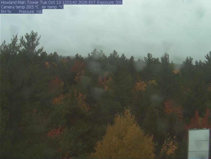
A broad treetop scene with evergreen crowns and scattered red, orange and yellow broadleaf crowns. Near foliage is readable; there is modest softness at the left edge and normal crown shadows. No apparent wet-lens obstruction or direct glare.
· 12:01 camera time

PhenoCam Network and Main Tower (Mature stand), Howland Forest, Howland, Maine
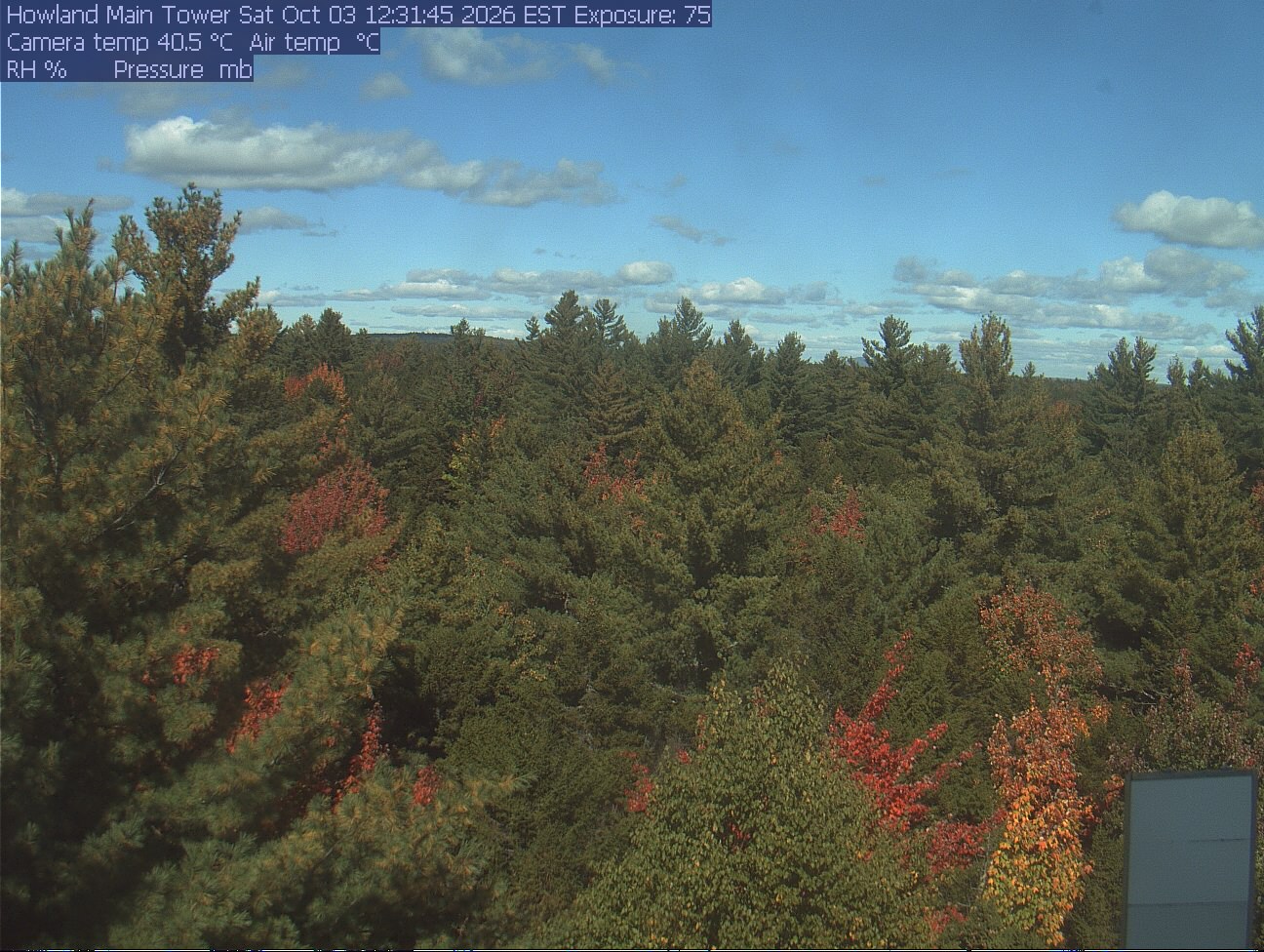
A broad treetop scene with evergreen crowns and scattered red, orange and yellow broadleaf crowns. Near foliage is readable; there is modest softness at the left edge and normal crown shadows. No apparent wet-lens obstruction or direct glare.

PhenoCam Network and Main Tower (Mature stand), Howland Forest, Howland, Maine

The camera’s website

Boston Common

Massachusetts · In the daily camera check
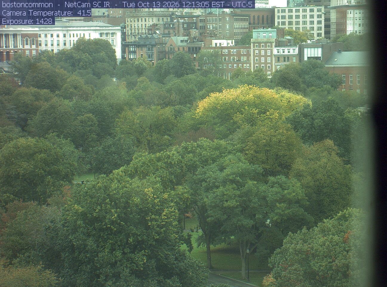
Buildings rise behind the park canopy; a fixed structure covers part of the right edge.
· 12:13 camera time

PhenoCam Network / Boston Common / Emerson College
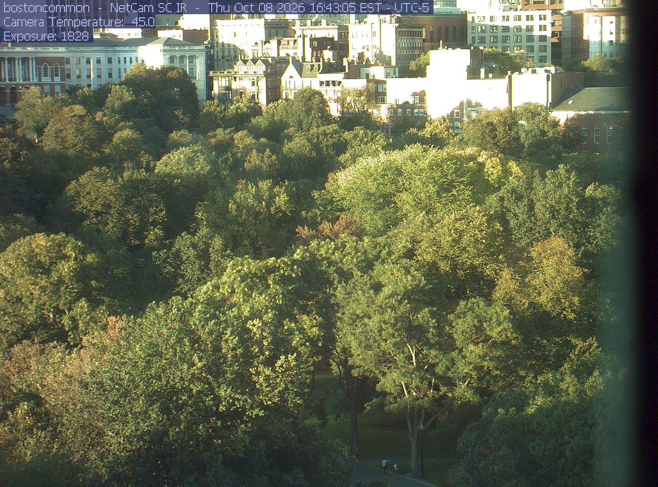
Buildings rise behind the park canopy; a fixed structure covers part of the right edge.
· 16:43 camera time

PhenoCam Network / Boston Common / Emerson College
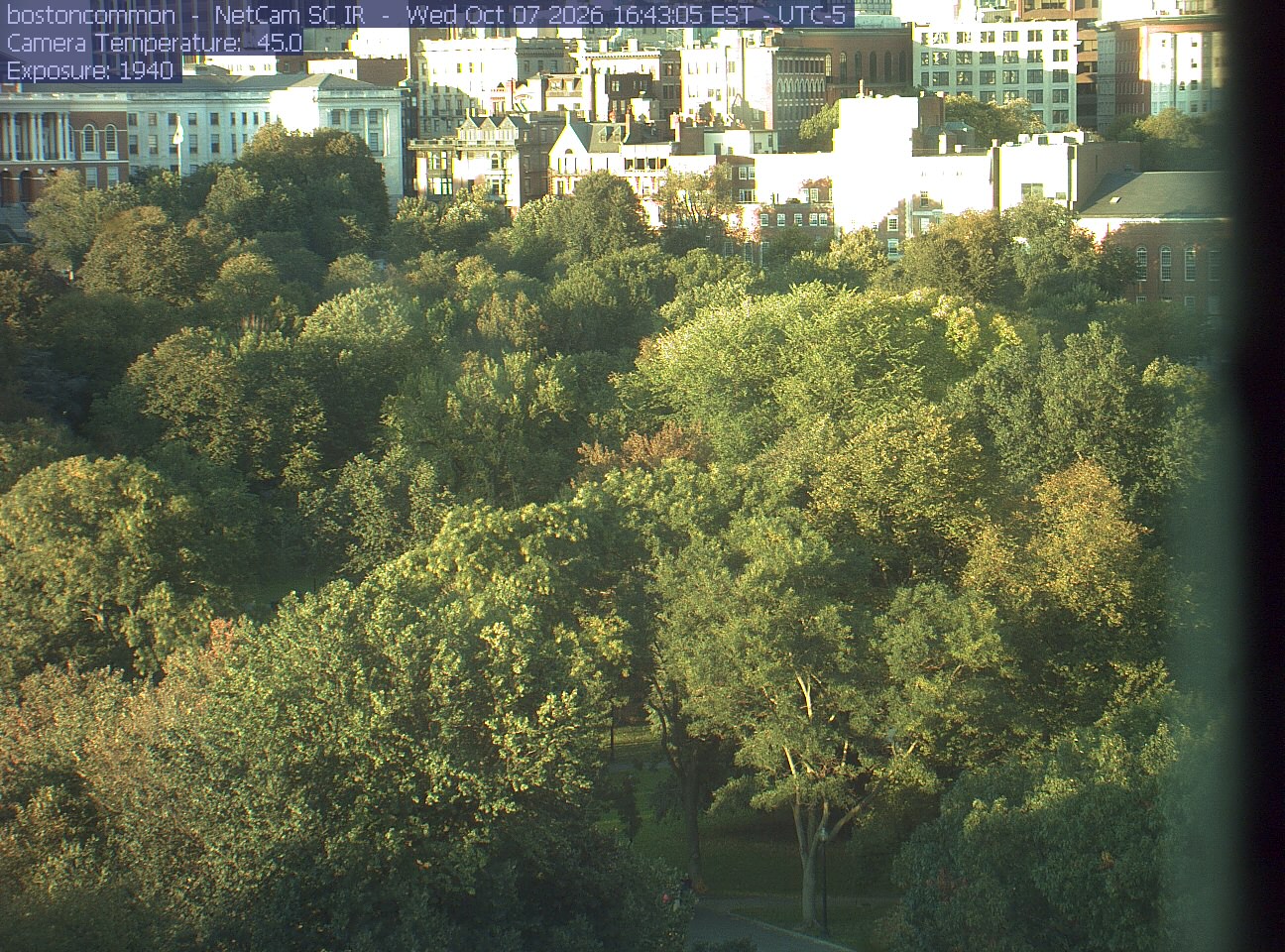
Buildings rise behind the park canopy; a fixed structure covers part of the right edge.
· 16:43 camera time

PhenoCam Network / Boston Common / Emerson College
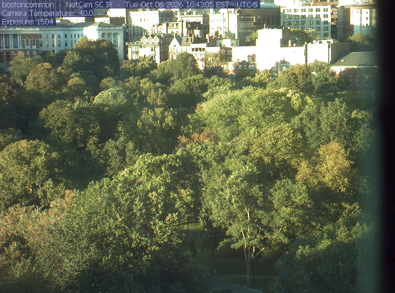
Buildings rise behind the park canopy; a fixed structure covers part of the right edge.
· 16:43 camera time

PhenoCam Network / Boston Common / Emerson College
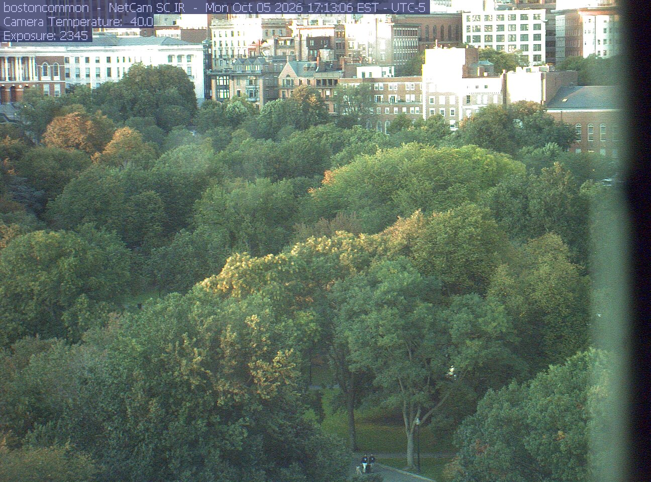
Buildings rise behind the park canopy; a fixed structure covers part of the right edge.
· 17:13 camera time

PhenoCam Network / Boston Common / Emerson College
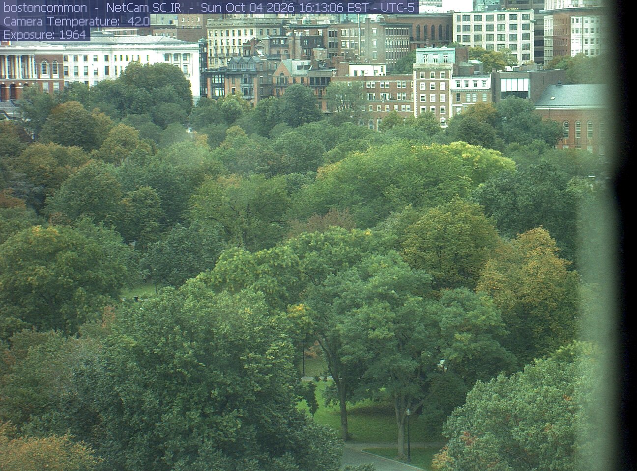
Buildings rise behind the park canopy; a fixed structure covers part of the right edge.
· 16:13 camera time

PhenoCam Network / Boston Common / Emerson College
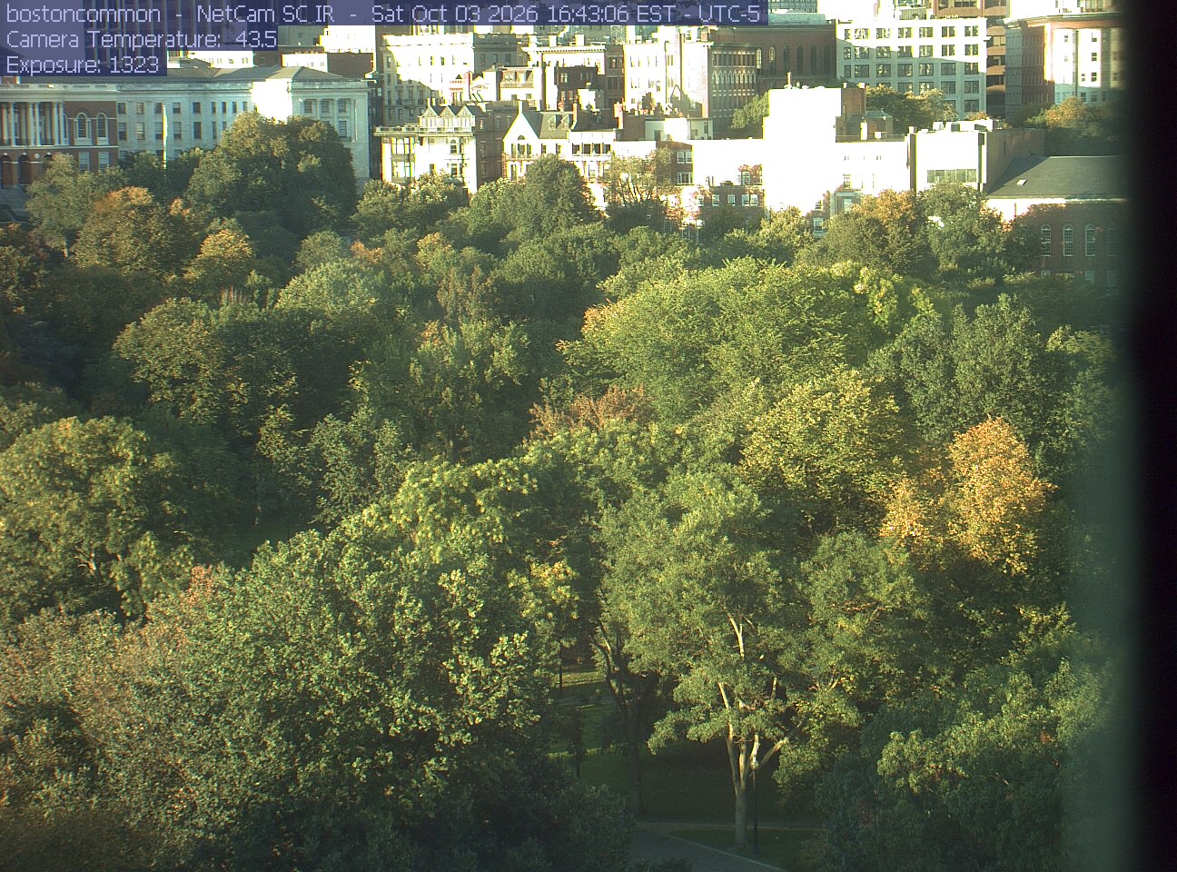
Buildings rise behind the park canopy; a fixed structure covers part of the right edge.
· 16:43 camera time

PhenoCam Network / Boston Common / Emerson College
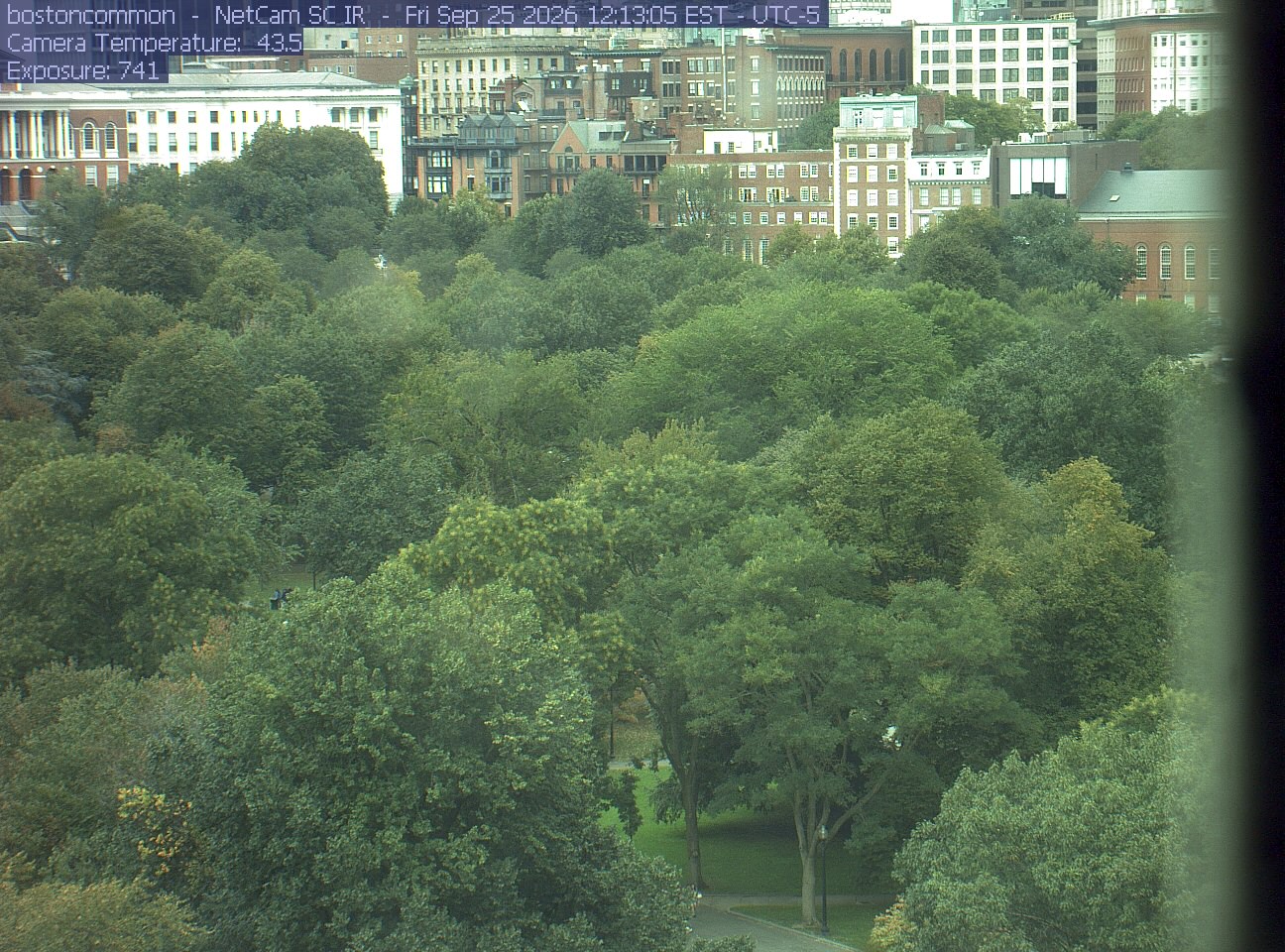
Buildings rise behind the park canopy; a fixed structure covers part of the right edge.
· 12:13 camera time

PhenoCam Network / Boston Common / Emerson College
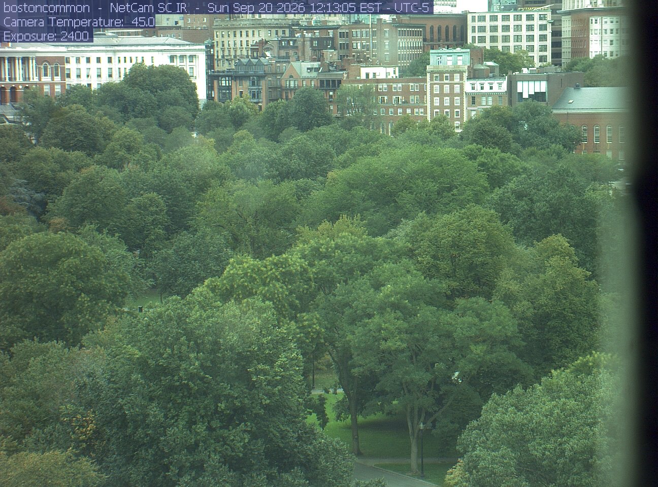
Buildings rise behind the park canopy; a fixed structure covers part of the right edge.
· 12:13 camera time

PhenoCam Network / Boston Common / Emerson College
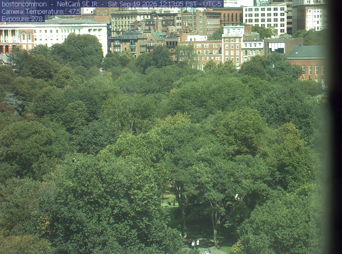
Buildings rise behind the park canopy; a fixed structure covers part of the right edge.
· 12:13 camera time

PhenoCam Network / Boston Common / Emerson College
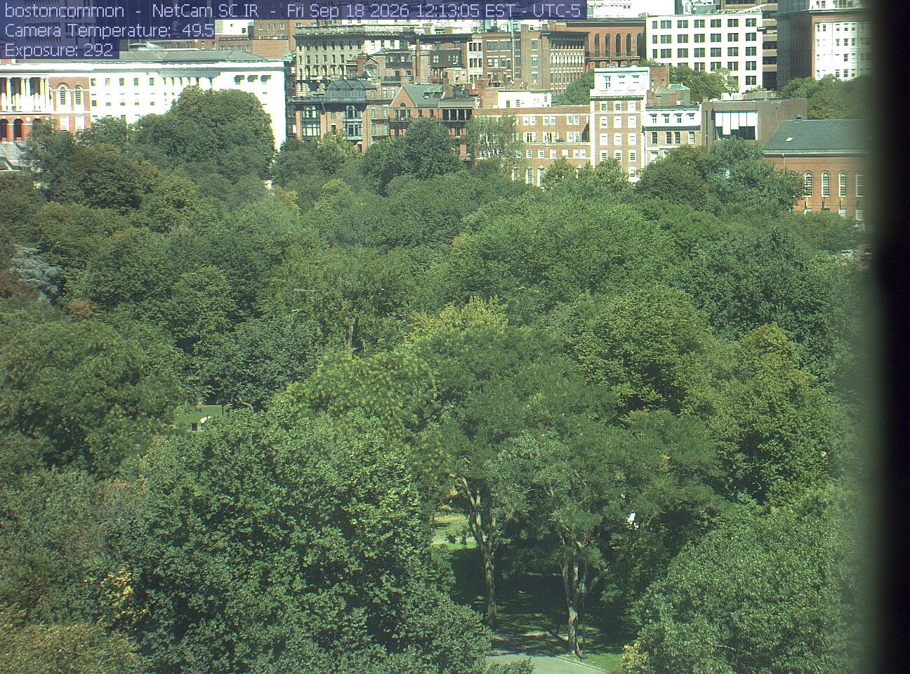
Buildings rise behind the park canopy; a fixed structure covers part of the right edge.
· 12:13 camera time

PhenoCam Network / Boston Common / Emerson College
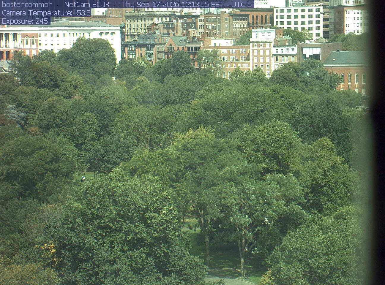
Buildings rise behind the park canopy; a fixed structure covers part of the right edge.
· 12:13 camera time

PhenoCam Network / Boston Common / Emerson College
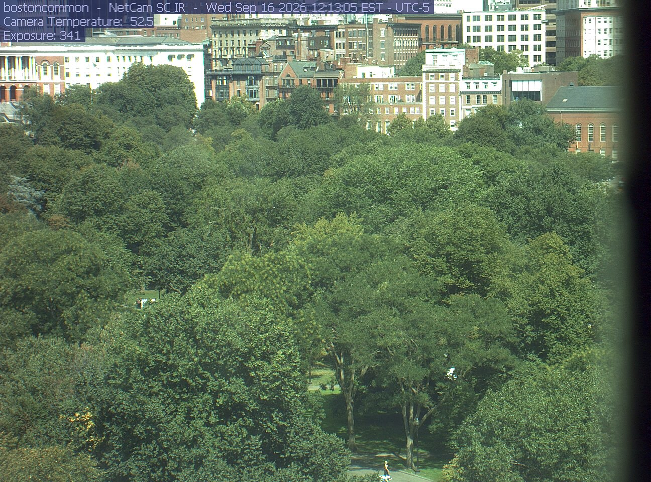
Buildings rise behind the park canopy; a fixed structure covers part of the right edge.
· 12:13 camera time

PhenoCam Network / Boston Common / Emerson College
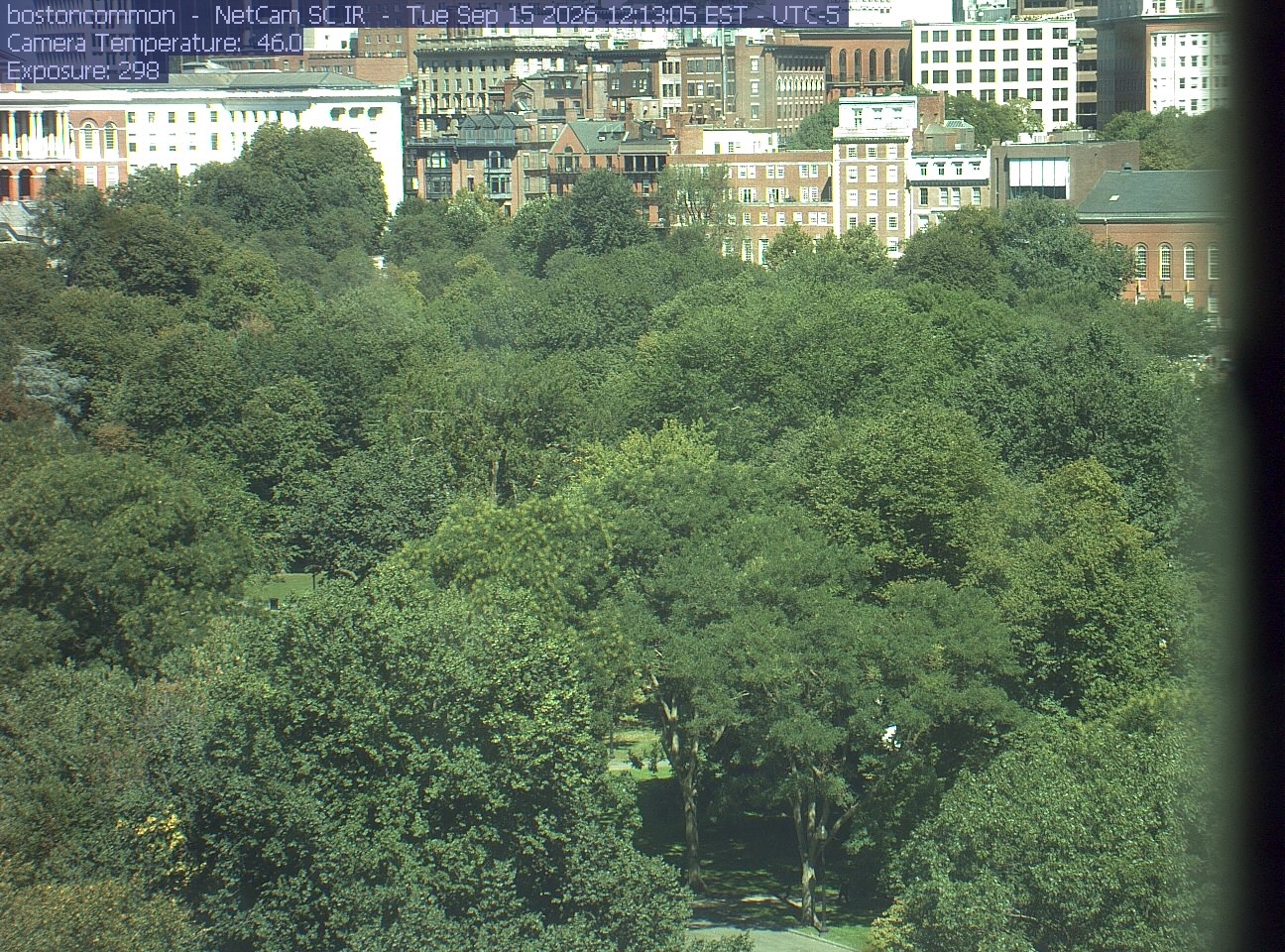
Buildings rise behind the park canopy; a fixed structure covers part of the right edge.
· 12:13 camera time

PhenoCam Network / Boston Common / Emerson College
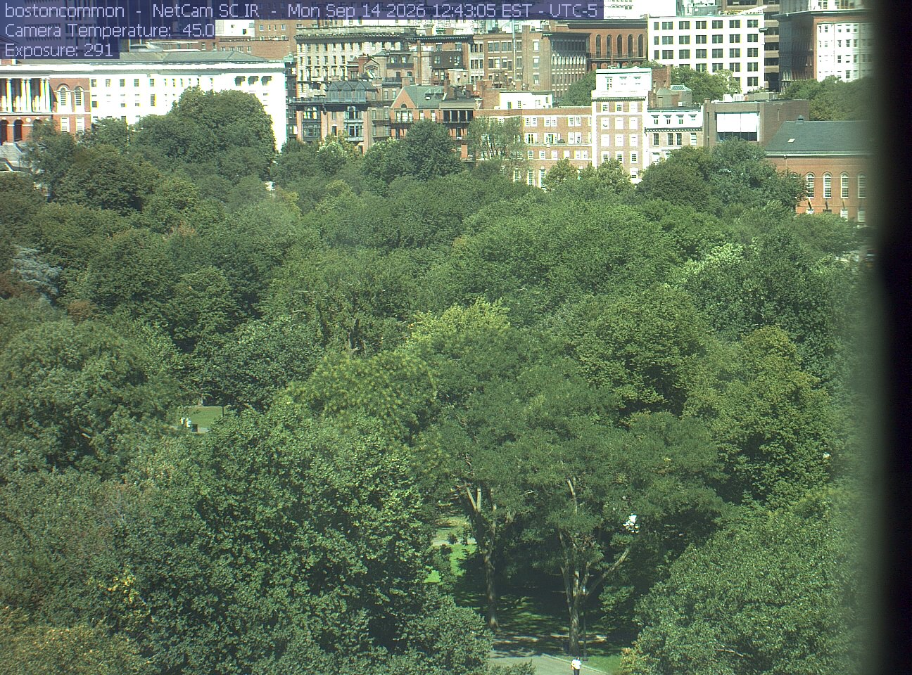
Buildings rise behind the park canopy; a fixed structure covers part of the right edge.
· 12:43 camera time

PhenoCam Network / Boston Common / Emerson College
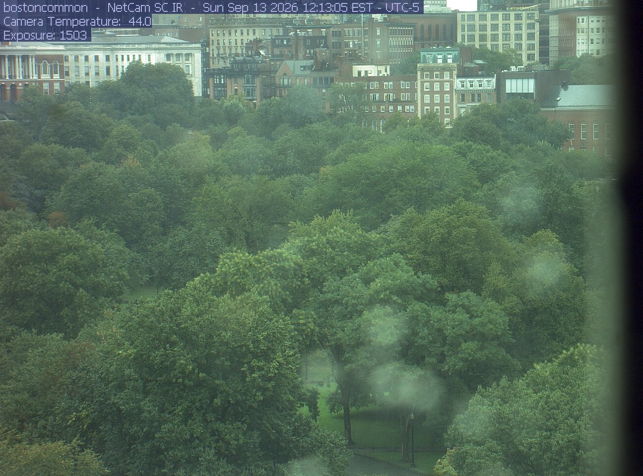
Buildings rise behind the park canopy; a fixed structure covers part of the right edge.
· 12:13 camera time

PhenoCam Network / Boston Common / Emerson College
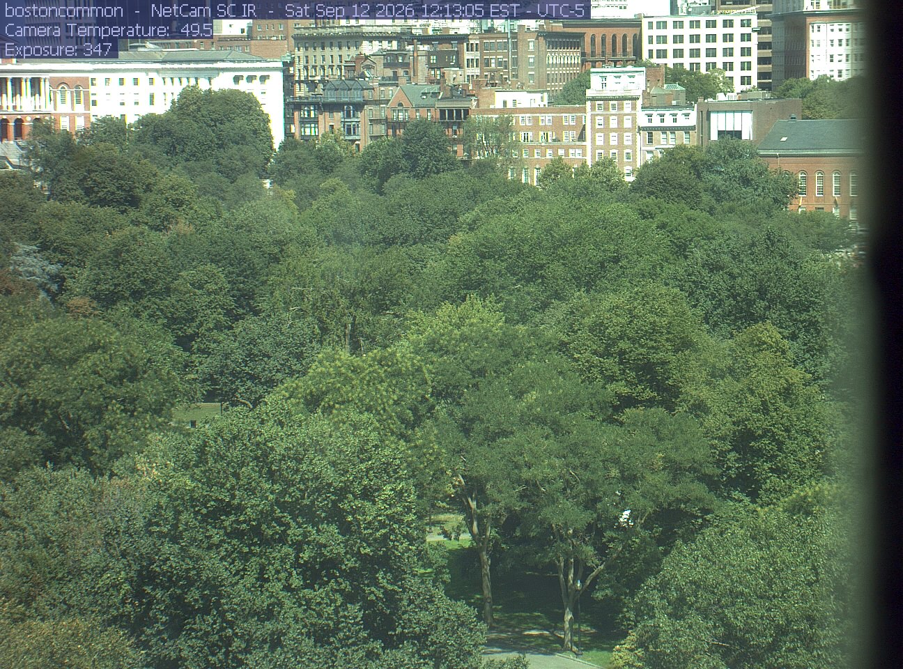
Buildings rise behind the park canopy; a fixed structure covers part of the right edge.
· 12:13 camera time

PhenoCam Network / Boston Common / Emerson College
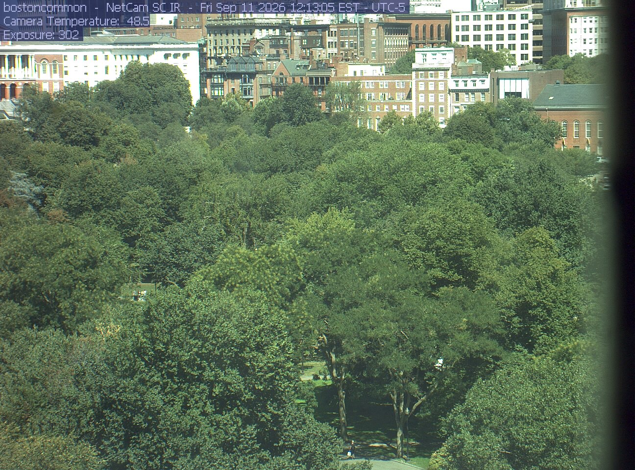
Buildings rise behind the park canopy; a fixed structure covers part of the right edge.
· 12:13 camera time

PhenoCam Network / Boston Common / Emerson College
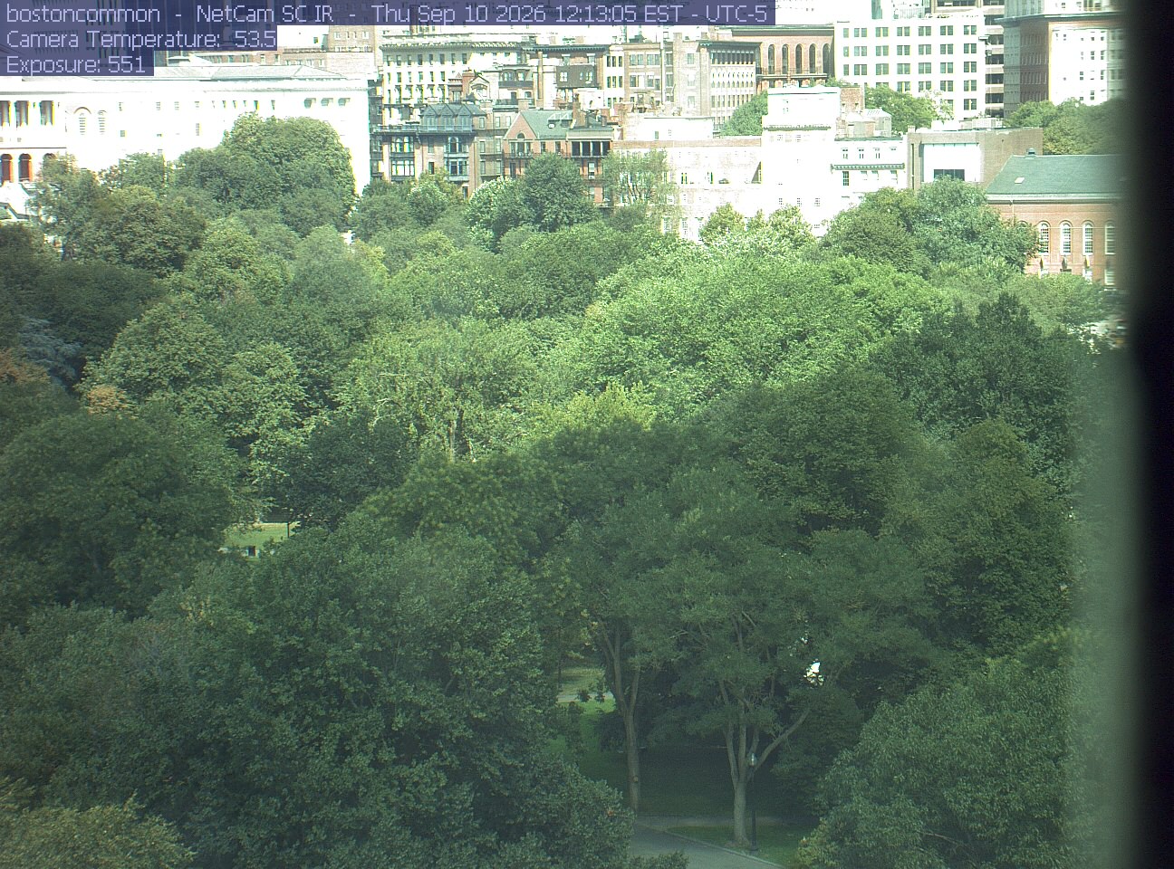
Buildings rise behind the park canopy; a fixed structure covers part of the right edge.
· 12:13 camera time

PhenoCam Network / Boston Common / Emerson College
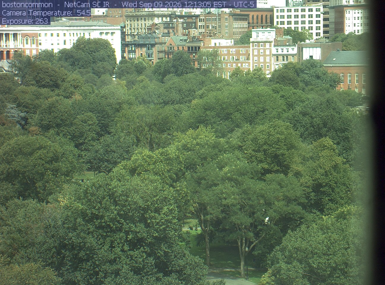
Buildings rise behind the park canopy; a fixed structure covers part of the right edge.
· 12:13 camera time

PhenoCam Network / Boston Common / Emerson College
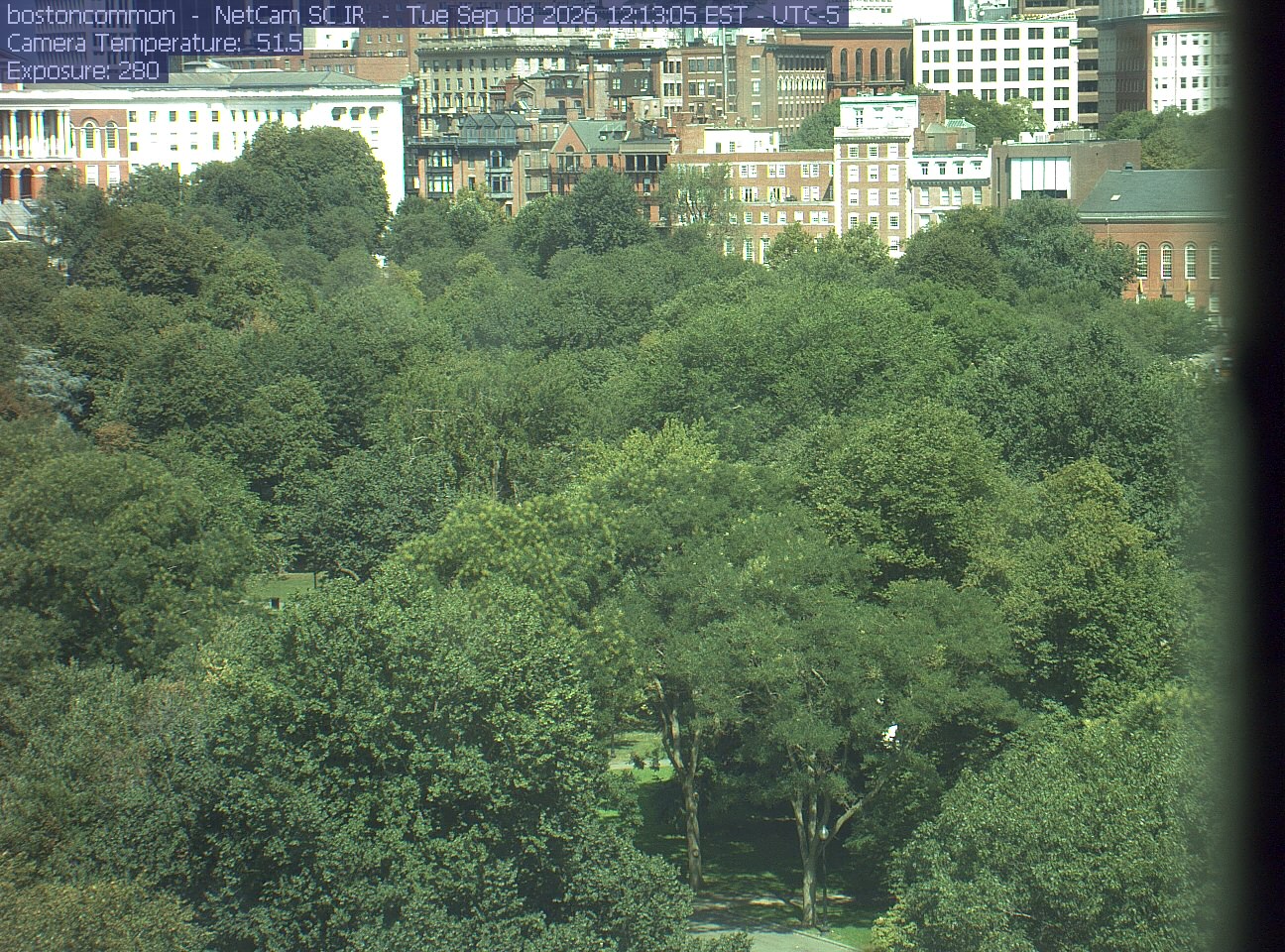
Buildings rise behind the park canopy; a fixed structure covers part of the right edge.
· 12:13 camera time

PhenoCam Network / Boston Common / Emerson College
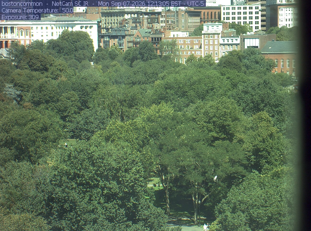
Buildings rise behind the park canopy; a fixed structure covers part of the right edge.
· 12:13 camera time

PhenoCam Network / Boston Common / Emerson College
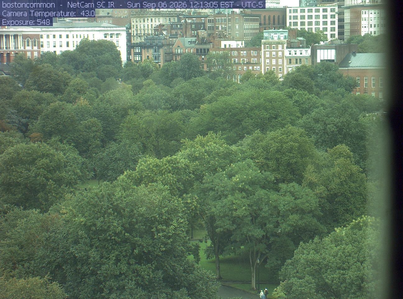
Buildings rise behind the park canopy; a fixed structure covers part of the right edge.
· 12:13 camera time

PhenoCam Network / Boston Common / Emerson College
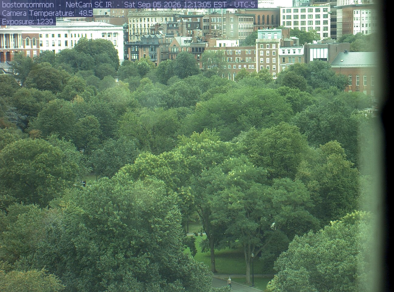
Buildings rise behind the park canopy; a fixed structure covers part of the right edge.
· 12:13 camera time

PhenoCam Network / Boston Common / Emerson College
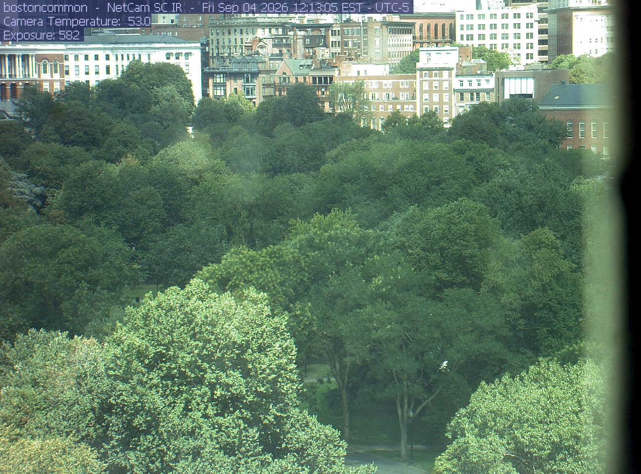
Buildings rise behind the park canopy; a fixed structure covers part of the right edge.
· 12:13 camera time

PhenoCam Network / Boston Common / Emerson College
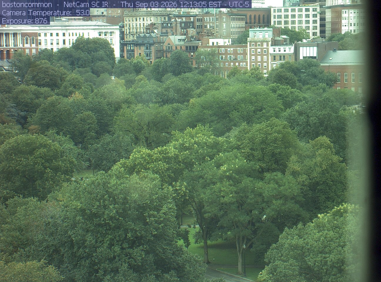
Buildings rise behind the park canopy; a fixed structure covers part of the right edge.
· 12:13 camera time

PhenoCam Network / Boston Common / Emerson College
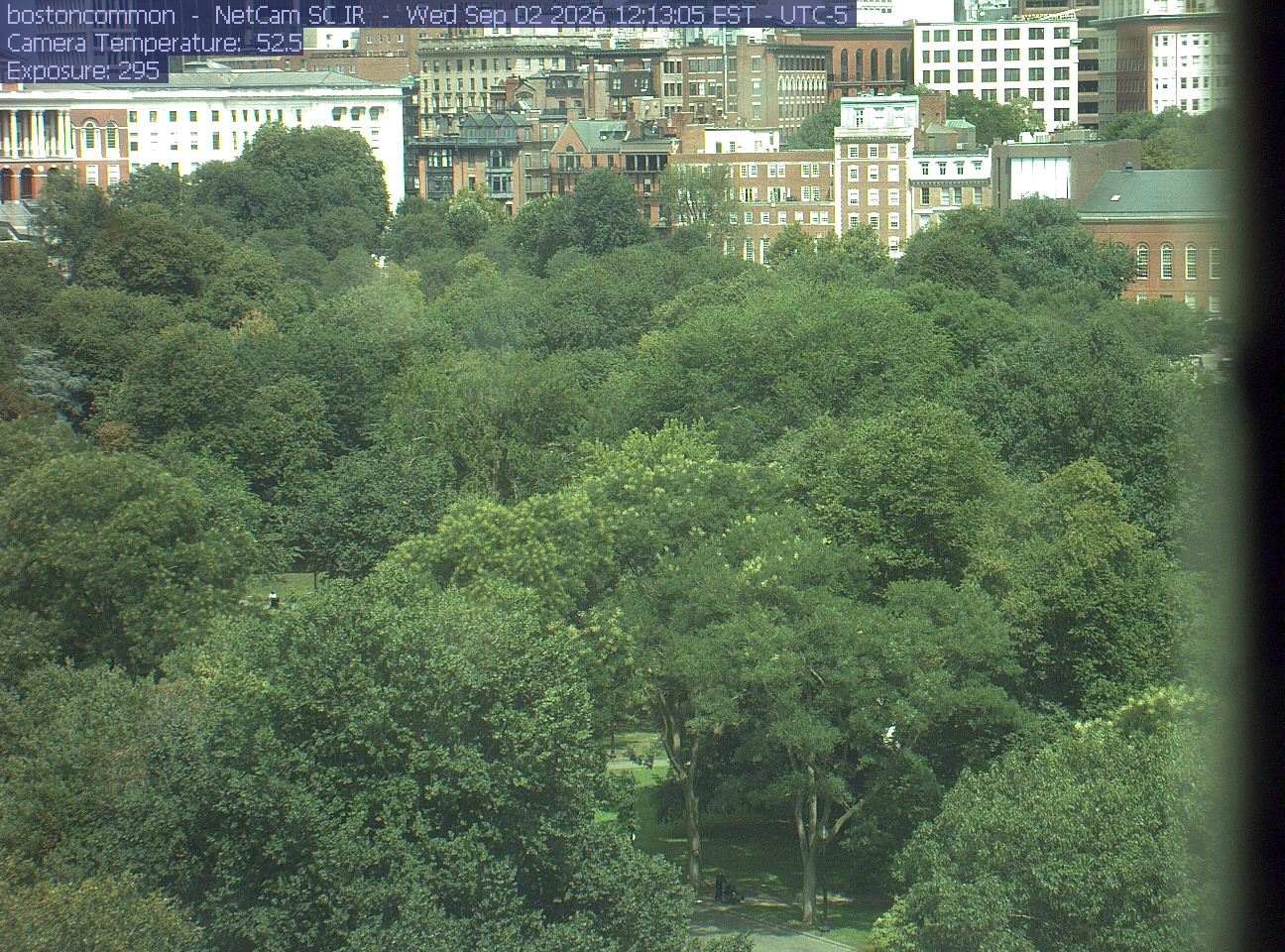
Buildings rise behind the park canopy; a fixed structure covers part of the right edge.
· 12:13 camera time

PhenoCam Network / Boston Common / Emerson College
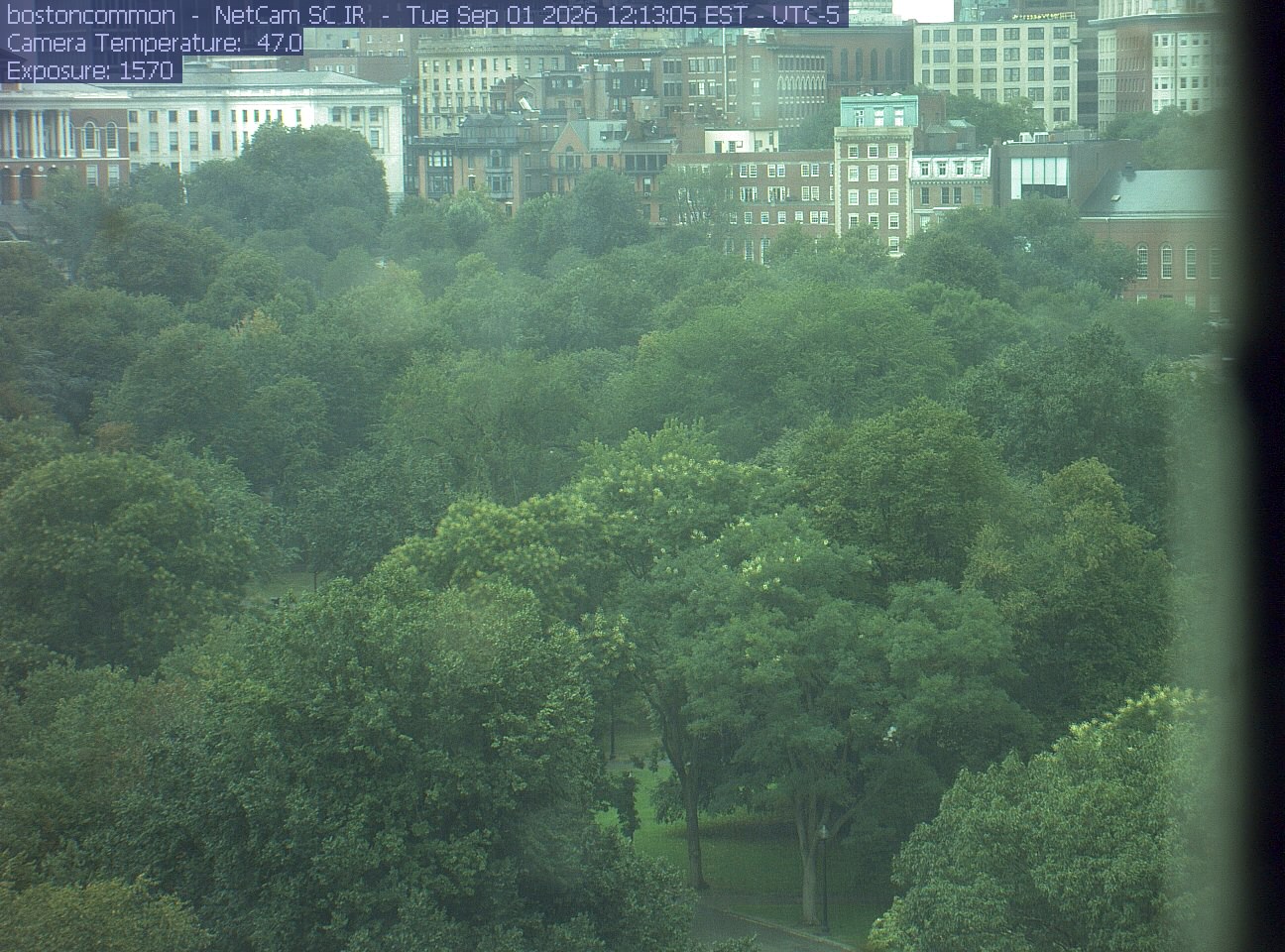
Buildings rise behind the park canopy; a fixed structure covers part of the right edge.
· 12:13 camera time

PhenoCam Network / Boston Common / Emerson College
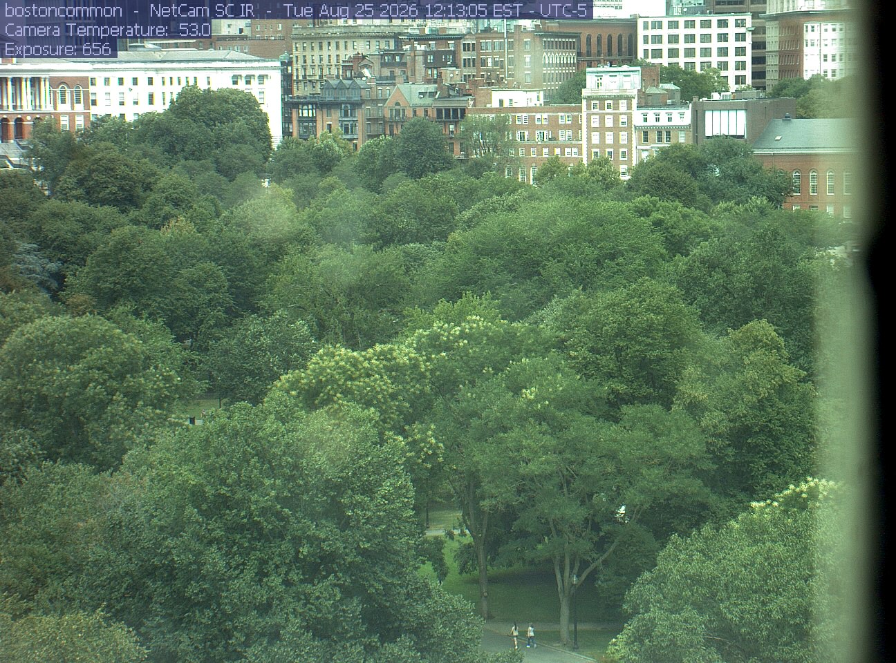
Buildings rise behind the park canopy; a fixed structure covers part of the right edge.
· 12:13 camera time

PhenoCam Network / Boston Common / Emerson College
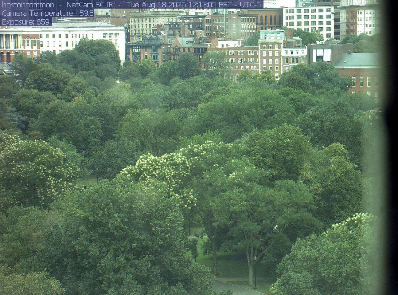
Buildings rise behind the park canopy; a fixed structure covers part of the right edge.
· 12:13 camera time

PhenoCam Network / Boston Common / Emerson College
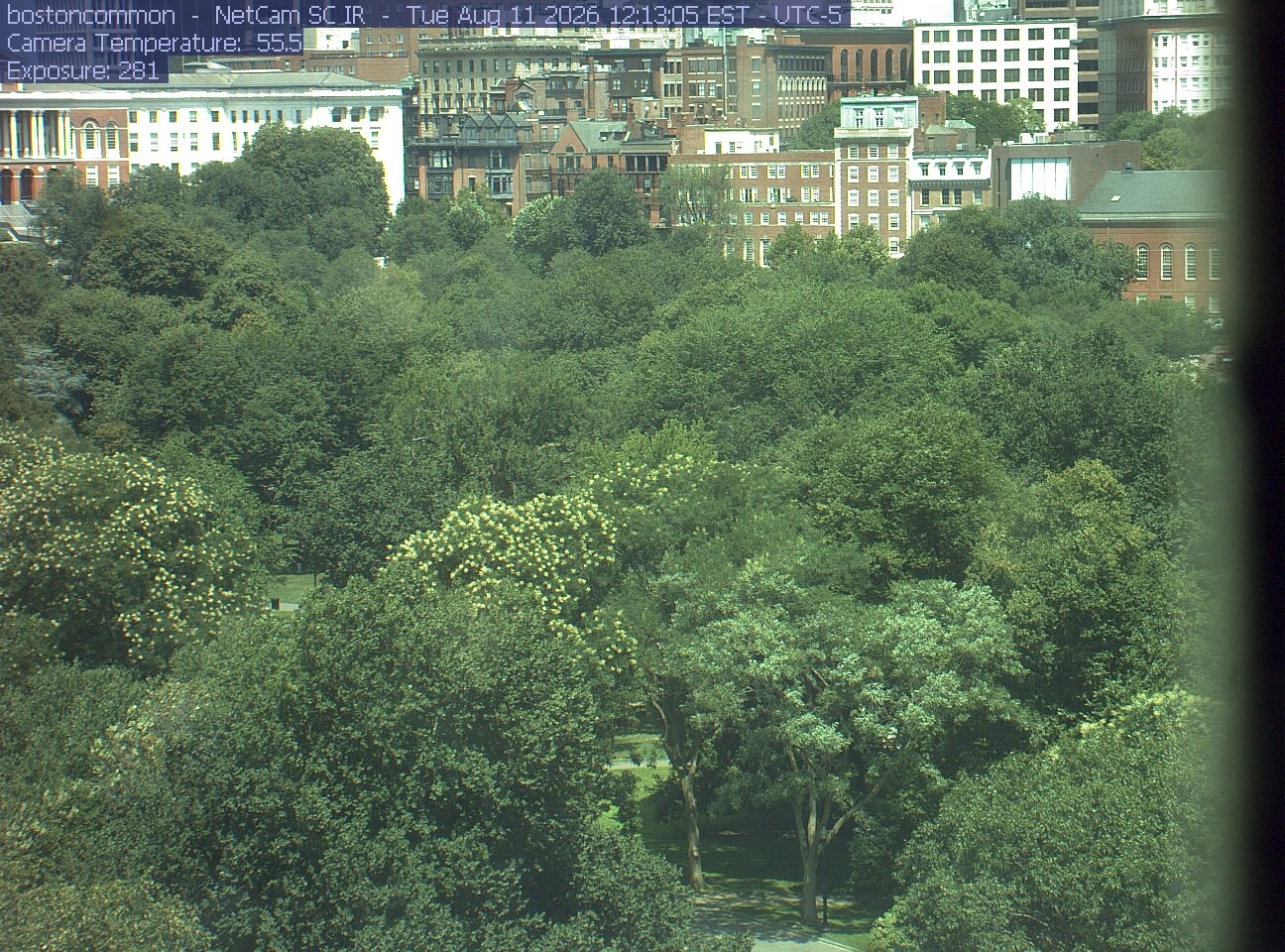
Buildings rise behind the park canopy; a fixed structure covers part of the right edge.
· 12:13 camera time

PhenoCam Network / Boston Common / Emerson College
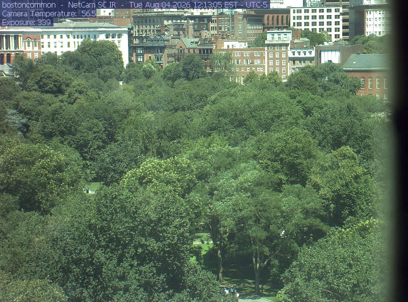
Buildings rise behind the park canopy; a fixed structure covers part of the right edge.
· 12:13 camera time

PhenoCam Network / Boston Common / Emerson College

The camera’s website

Open the place’s page

Charles River trees

Massachusetts · In the daily camera check
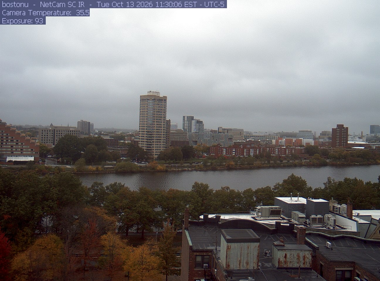
Trees line the river below the city skyline, with a roof edge in the foreground.
· 11:30 camera time

PhenoCam Network / Boston University / Charles River Esplanade
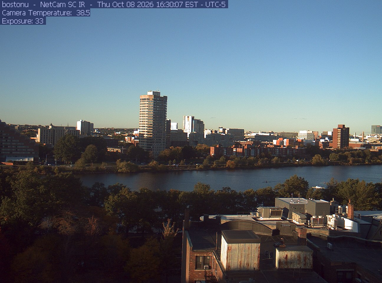
Trees line the river below the city skyline, with a roof edge in the foreground.
· 16:30 camera time

PhenoCam Network / Boston University / Charles River Esplanade
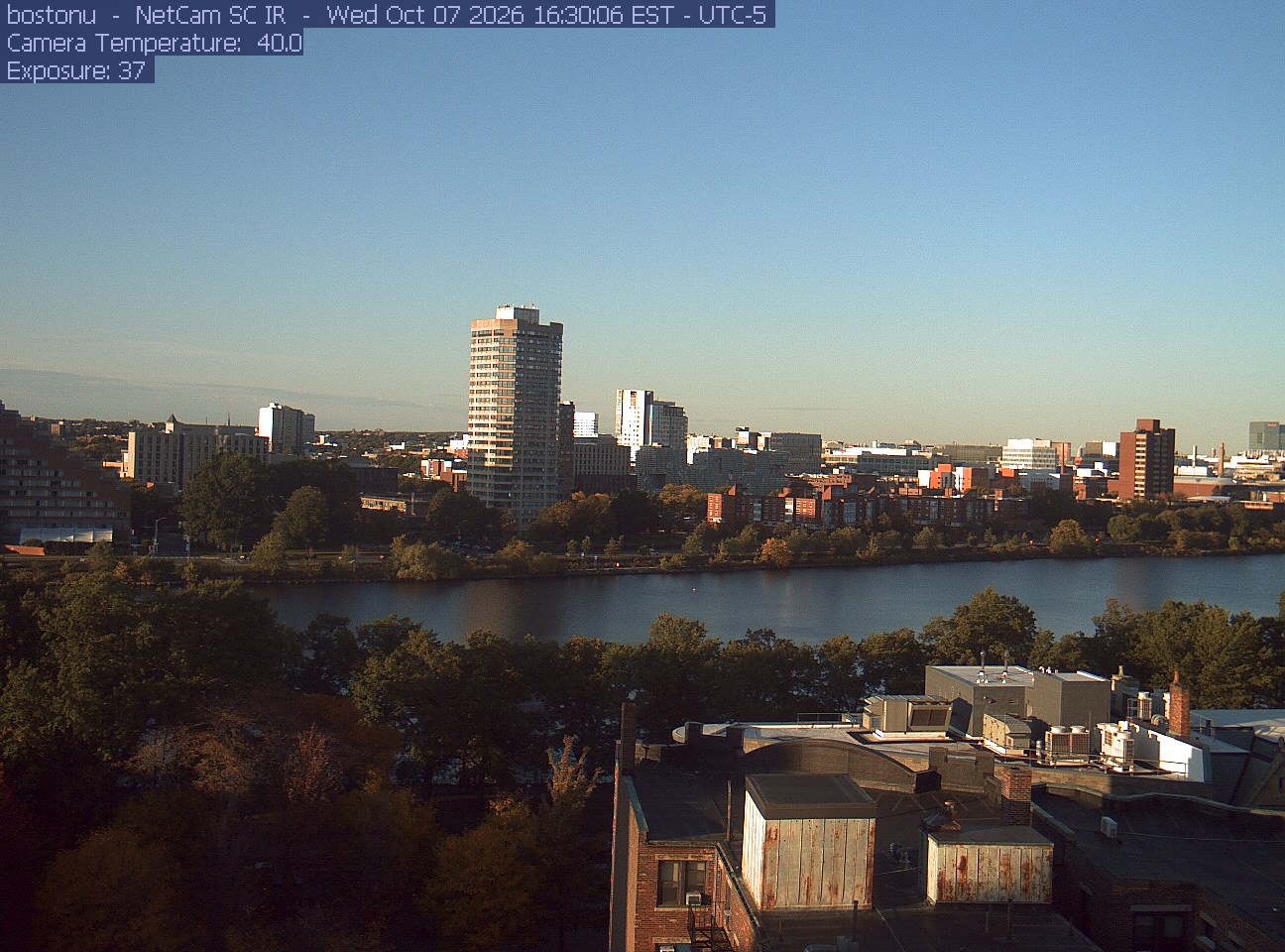
Trees line the river below the city skyline, with a roof edge in the foreground.
· 16:30 camera time

PhenoCam Network / Boston University / Charles River Esplanade
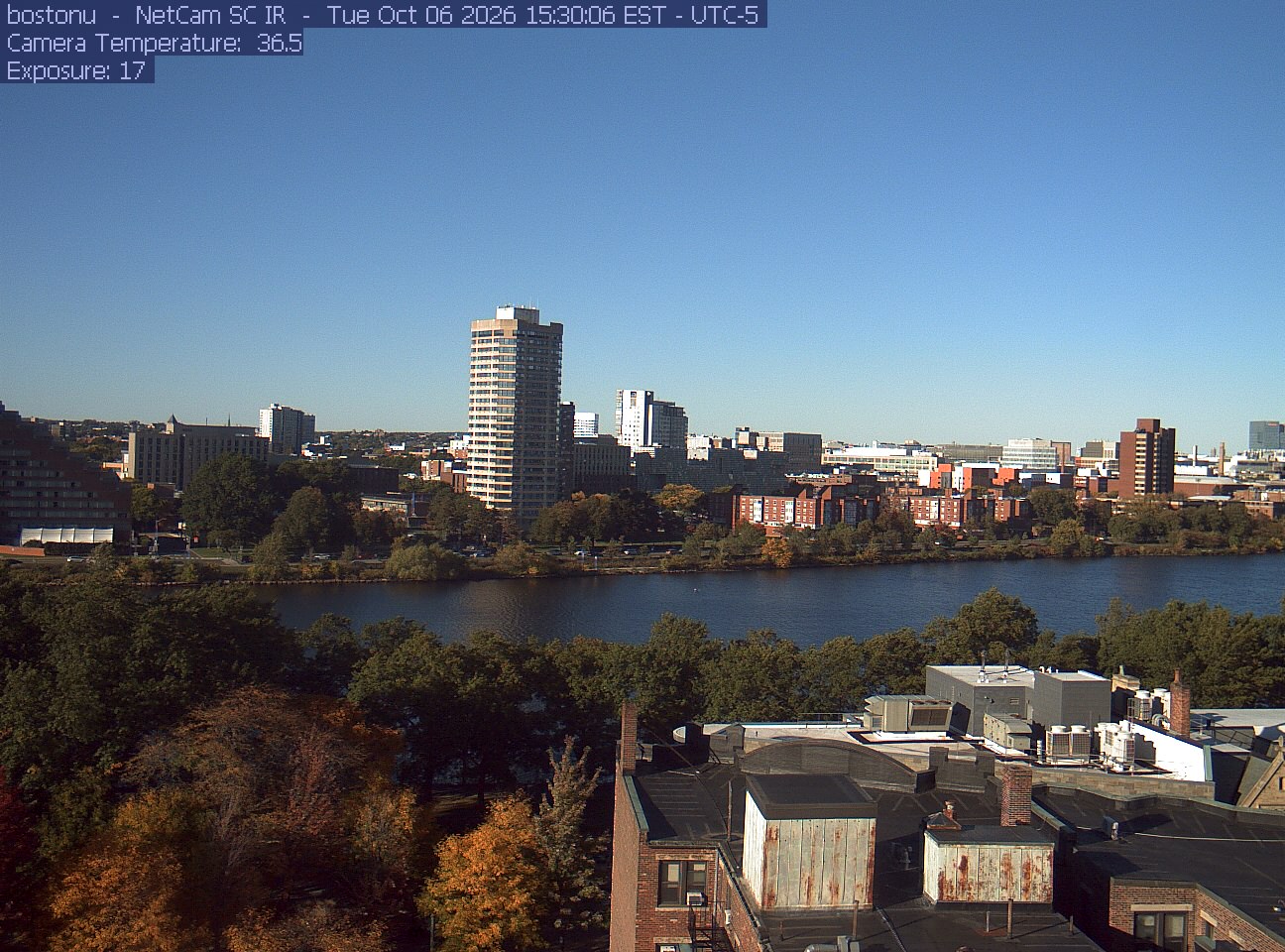
Trees line the river below the city skyline, with a roof edge in the foreground.
· 15:30 camera time

PhenoCam Network / Boston University / Charles River Esplanade
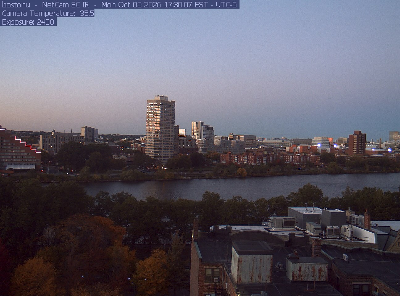
Trees line the river below the city skyline, with a roof edge in the foreground.
· 17:30 camera time

PhenoCam Network / Boston University / Charles River Esplanade
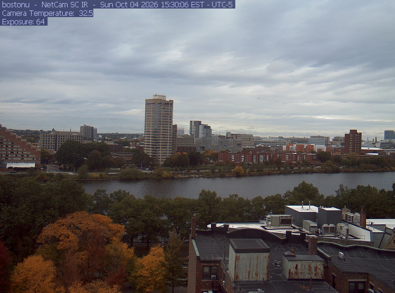
Trees line the river below the city skyline, with a roof edge in the foreground.
· 15:30 camera time

PhenoCam Network / Boston University / Charles River Esplanade
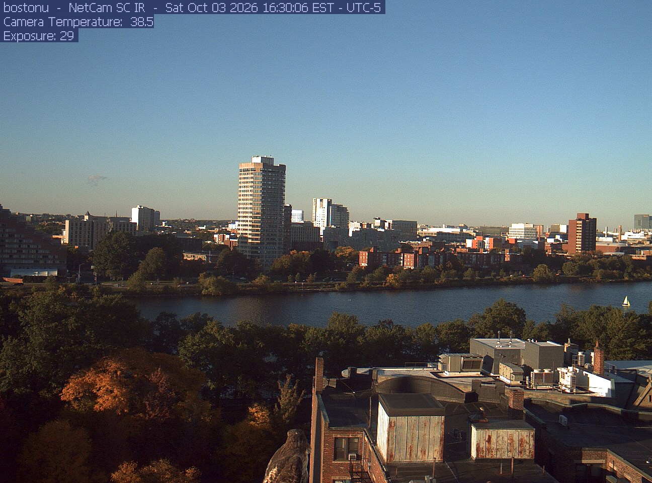
Trees line the river below the city skyline, with a roof edge in the foreground.
· 16:30 camera time

PhenoCam Network / Boston University / Charles River Esplanade
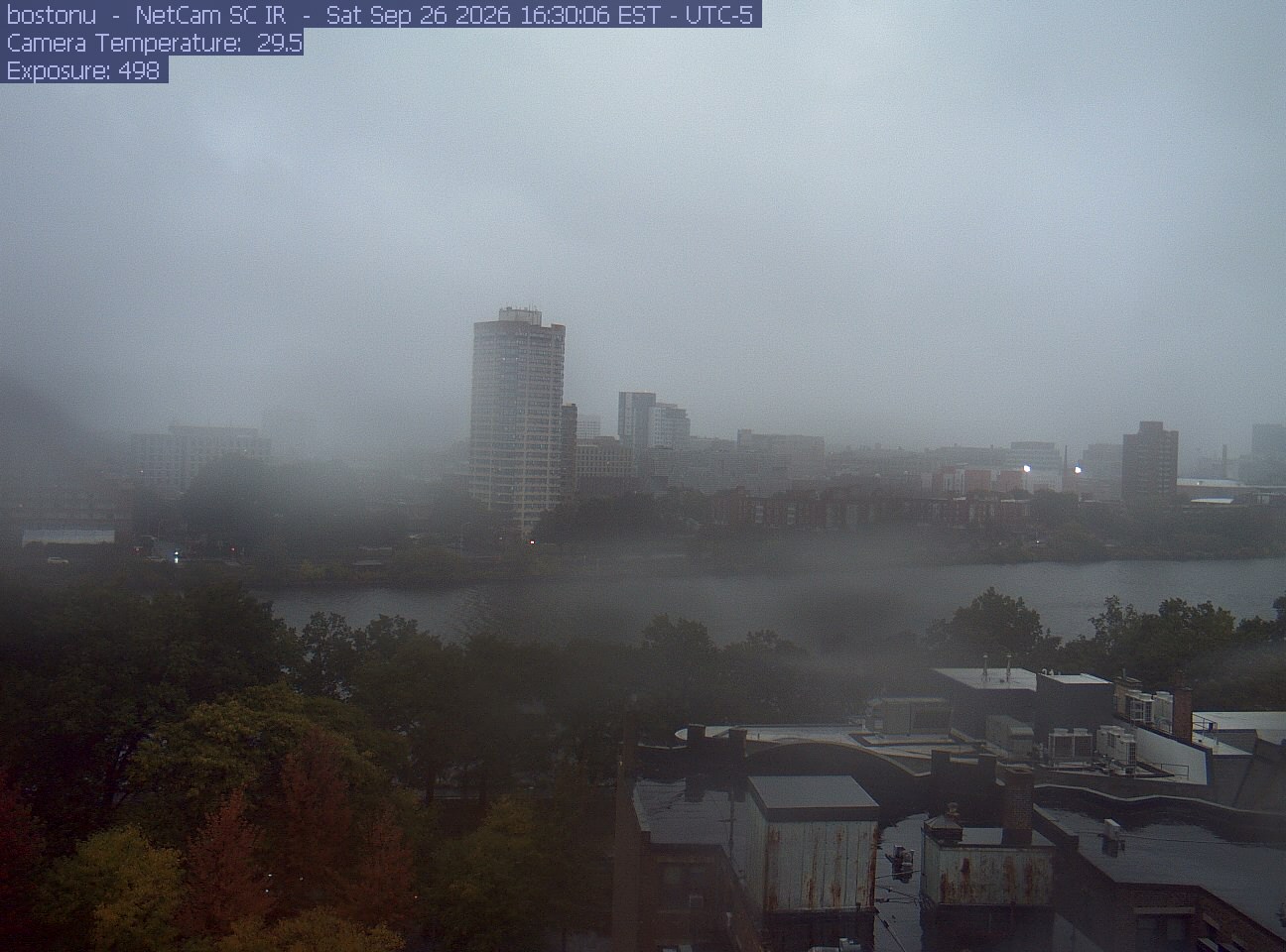
Trees line the river below the city skyline, with a roof edge in the foreground.
· 16:30 camera time

PhenoCam Network / Boston University / Charles River Esplanade
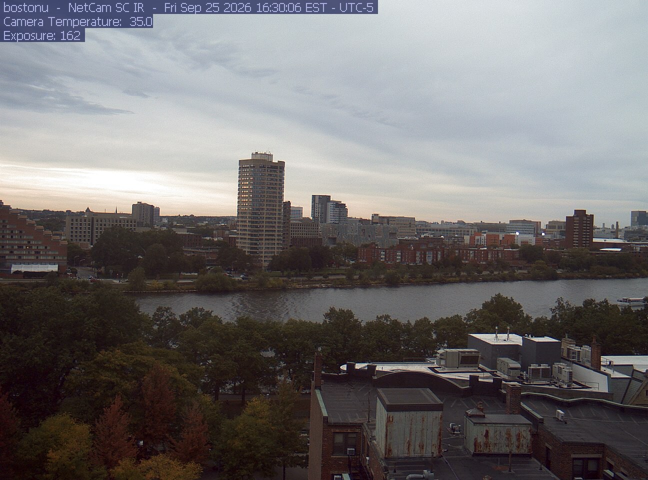
Trees line the river below the city skyline, with a roof edge in the foreground.
· 16:30 camera time

PhenoCam Network / Boston University / Charles River Esplanade
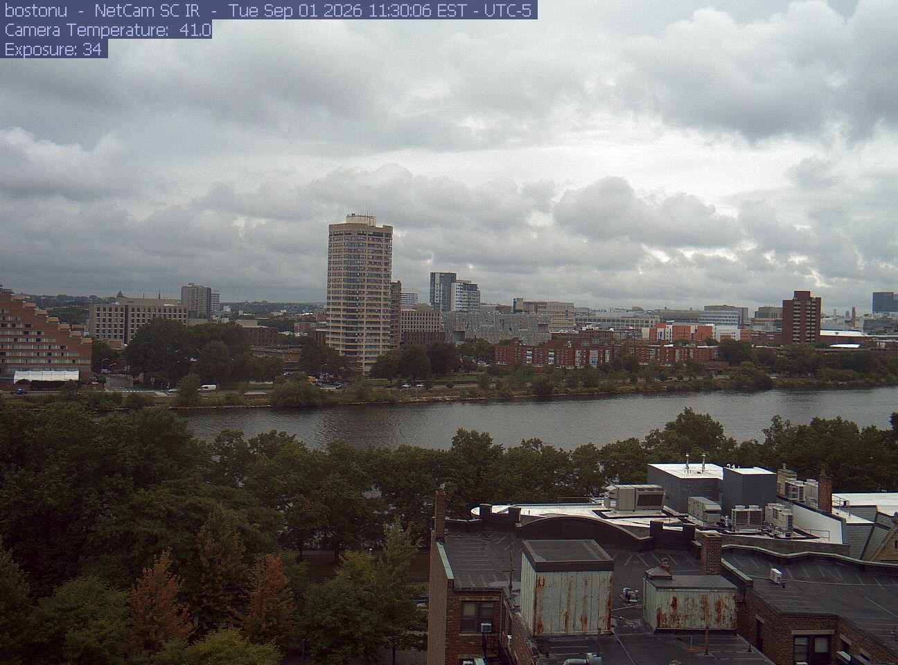
Trees line the river below the city skyline, with a roof edge in the foreground.
· 11:30 camera time

PhenoCam Network / Boston University / Charles River Esplanade
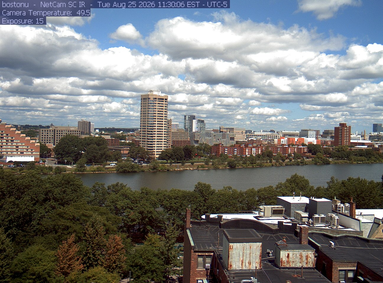
Trees line the river below the city skyline, with a roof edge in the foreground.
· 11:30 camera time

PhenoCam Network / Boston University / Charles River Esplanade
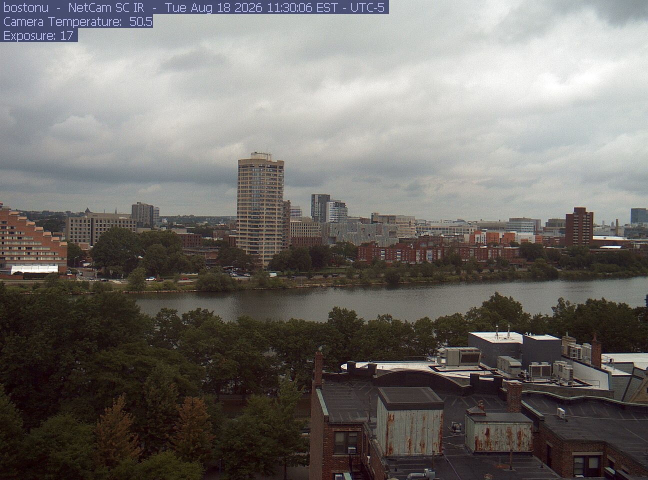
Trees line the river below the city skyline, with a roof edge in the foreground.
· 11:30 camera time

PhenoCam Network / Boston University / Charles River Esplanade

Trees line the river below the city skyline, with a roof edge in the foreground.
· 11:30 camera time

PhenoCam Network / Boston University / Charles River Esplanade
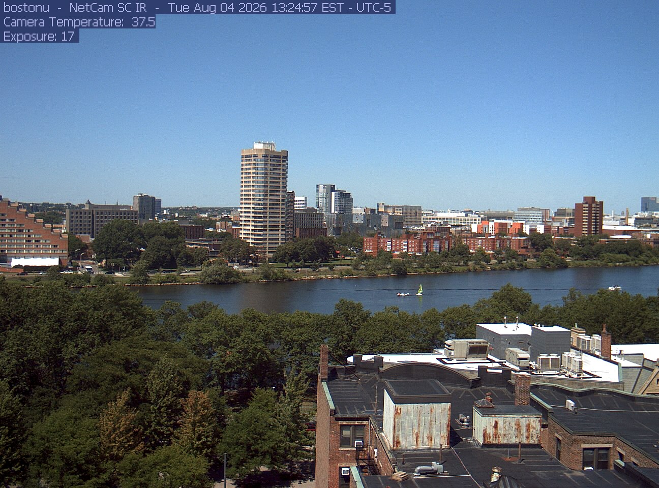
Trees line the river below the city skyline, with a roof edge in the foreground.
· 13:24 camera time

PhenoCam Network / Boston University / Charles River Esplanade

The camera’s website

Open the place’s page

Harvard Farm meadow and woods

Massachusetts · In the daily camera check
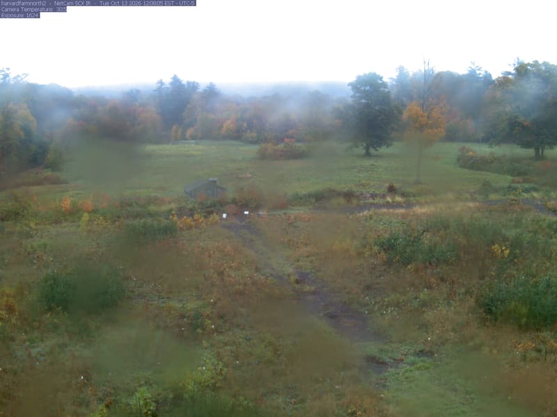
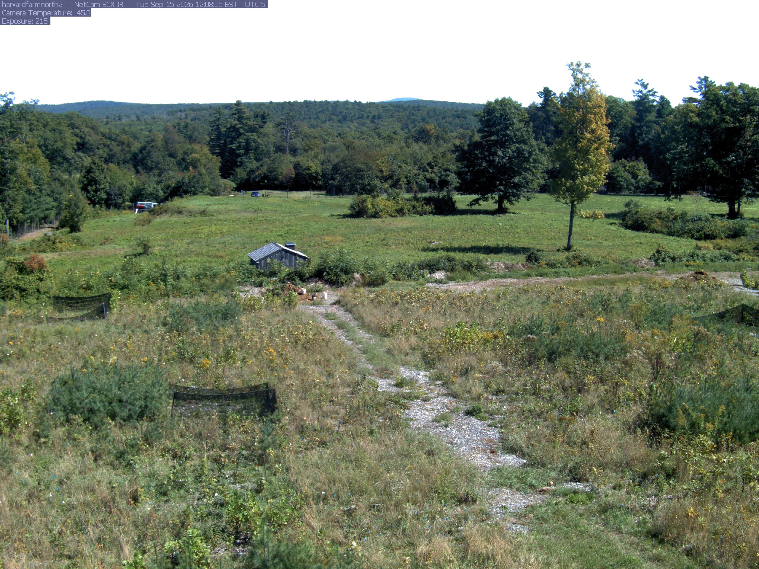
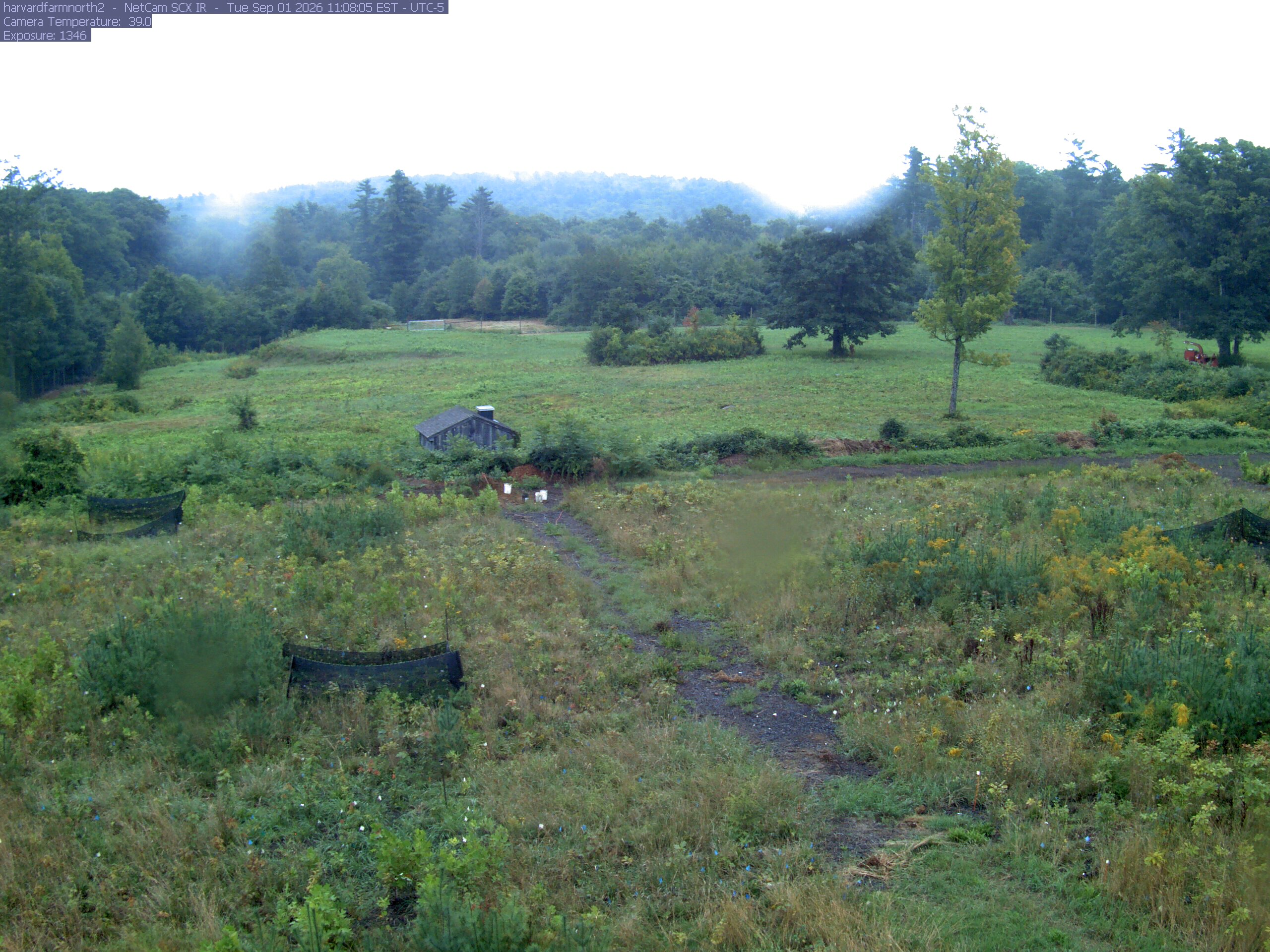
The meadow is bordered by several clearly separate deciduous trees with green, yellow, orange and red foliage. A yellow near tree shows its trunk and thinning branches; the middle-distance woodland supplies additional readable crowns.
· 12:08 camera time

PhenoCam Network / Harvard Forest

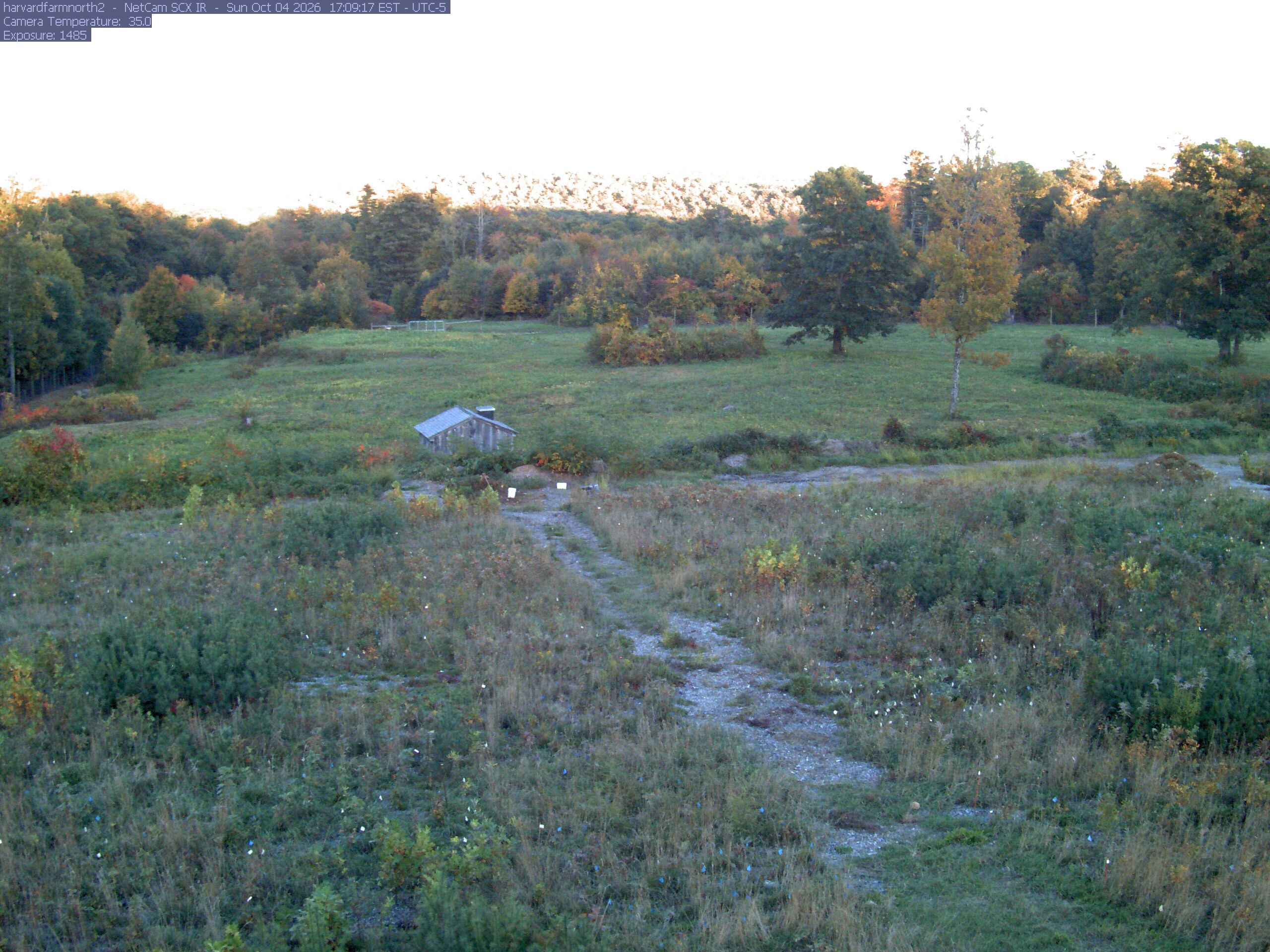
The meadow is bordered by several clearly separate deciduous trees with green, yellow, orange and red foliage. A yellow near tree shows its trunk and thinning branches; the middle-distance woodland supplies additional readable crowns.
· 17:09 camera time

PhenoCam Network / Harvard Forest

The meadow is bordered by several clearly separate deciduous trees with green, yellow, orange and red foliage. A yellow near tree shows its trunk and thinning branches; the middle-distance woodland supplies additional readable crowns.
· 12:08 camera time

PhenoCam Network / Harvard Forest

The meadow is bordered by several clearly separate deciduous trees with green, yellow, orange and red foliage. A yellow near tree shows its trunk and thinning branches; the middle-distance woodland supplies additional readable crowns.
· 11:08 camera time

PhenoCam Network / Harvard Forest

The camera’s website

Open the place’s page

Harvard Forest

Massachusetts · In the daily camera check
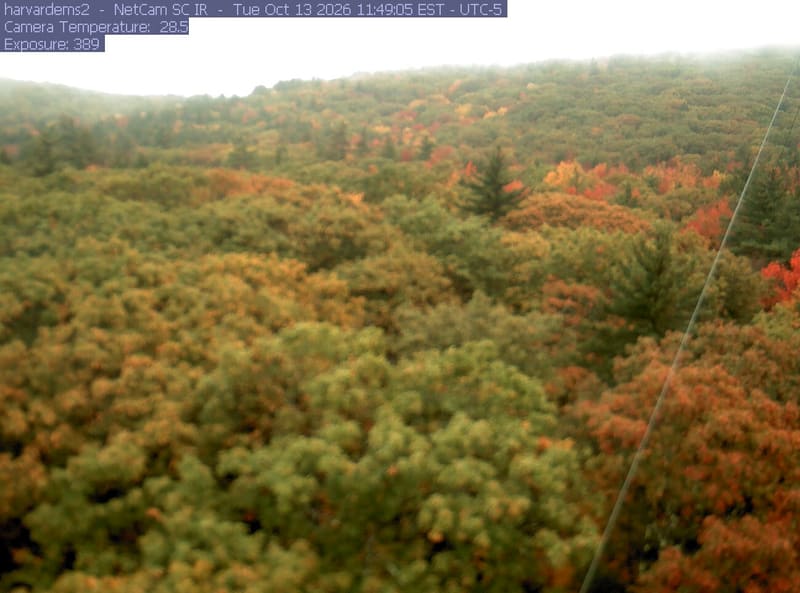
An almost continuous wooded slope fills the frame, with distinct orange and red crowns among green trees across the upper hillside.
· 11:49 camera time

PhenoCam Network / Harvard Forest

The camera’s website

Harvard Forest

Massachusetts · In the daily camera check
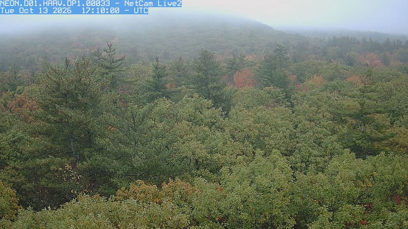
An uninterrupted canopy fills the foreground and hill, with individual green, yellowing and russet crowns visible among a few tall conifers.
· 12:10 camera time

PhenoCam Network / National Ecological Observatory Network (NEON)

The camera’s website

Harvard Forest

Massachusetts · In the daily camera check
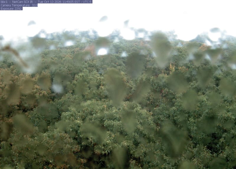
Broadleaf crowns spread from the foreground to the horizon, with green, yellowing and scattered orange foliage clearly visible across the woodland. Water on the lens leaves blurred spots, including a large patch at upper left; most trees remain readable.
· 11:49 camera time

PhenoCam Network / Harvard Forest

The camera’s website

Harvard Forest

Massachusetts · In the daily camera check
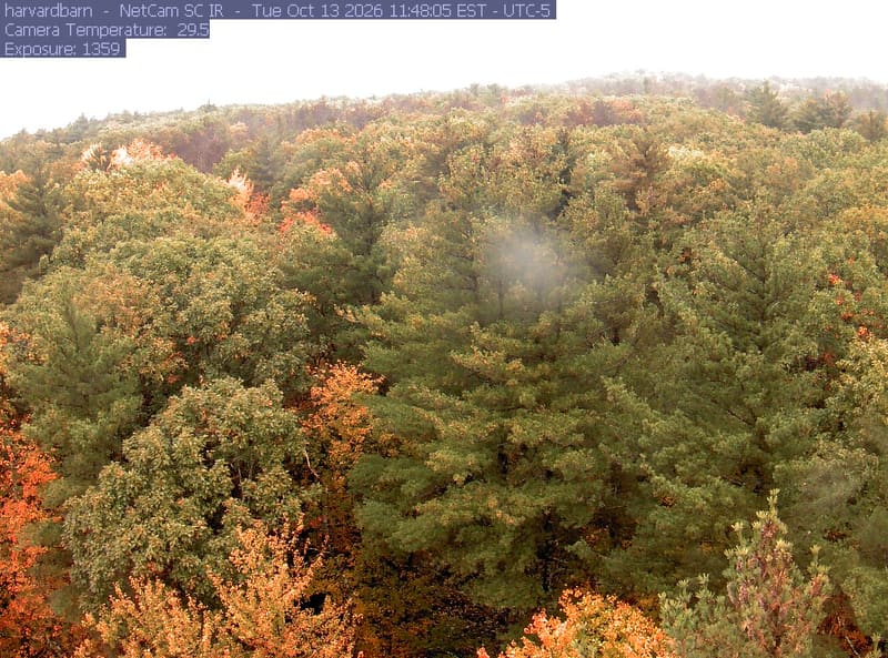
A continuous canopy fills the hillside, with green, gold and orange broadleaf crowns clearly visible among tall conifers. A pale blurred spot near the centre obscures a small patch; most crowns remain readable.
· 11:48 camera time

PhenoCam Network / Harvard Forest

The camera’s website

Harvard Forest

Massachusetts · In the daily camera check
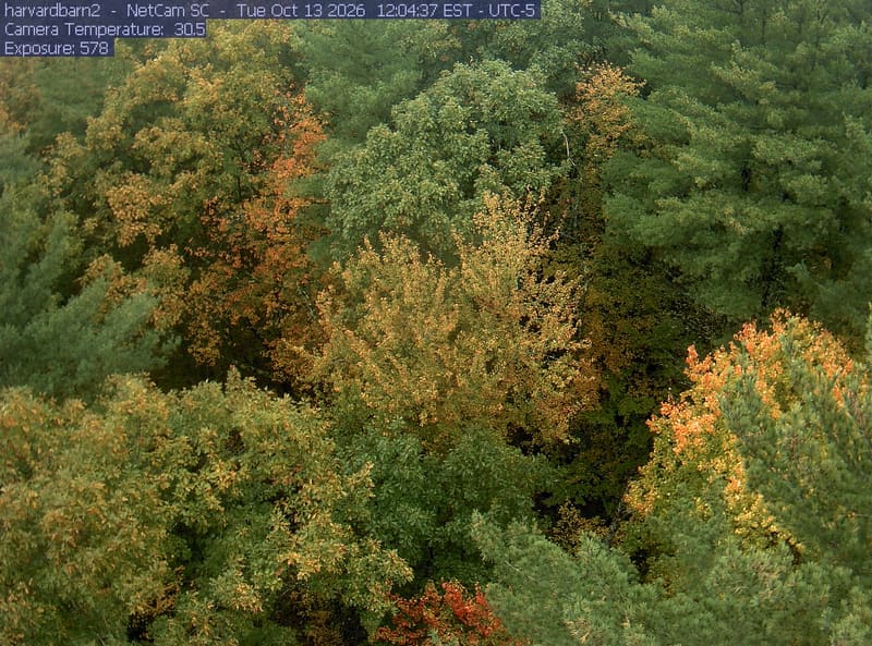
Overlapping green and yellowing broadleaf crowns fill the frame among conifers, with small patches of orange and red foliage.
· 12:04 camera time

PhenoCam Network / Harvard Forest

The camera’s website

Hop Brook streamside trees

Massachusetts · In the daily camera check
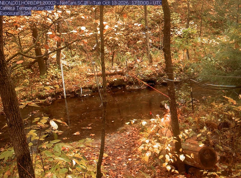
A wooded stream with close leaves, trunks, water and research cables. Strong bright patches and warm exposure obscure parts of the upper canopy; nearby green and yellow leaves are readable. No apparent wet-lens blur. Useful understory context, weaker for broad color judgment.
· 12:10 camera time

PhenoCam Network and NEON Site - D01 (Northeast) Hop Brook, Massachusetts - aquatic/stream-gauge camera
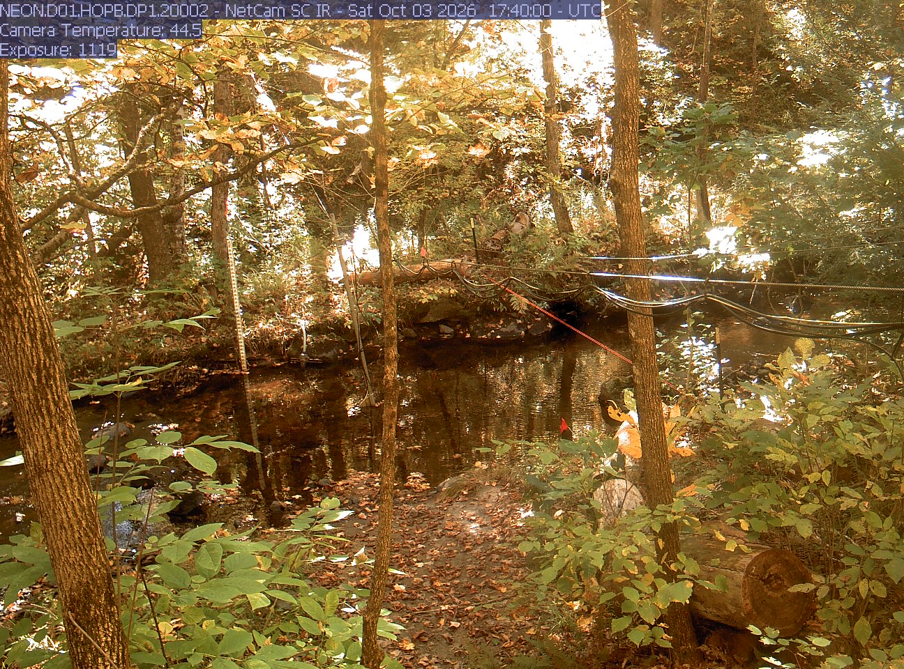
A wooded stream with close leaves, trunks, water and research cables. Strong bright patches and warm exposure obscure parts of the upper canopy; nearby green and yellow leaves are readable. No apparent wet-lens blur. Useful understory context, weaker for broad color judgment.
· 12:40 camera time

PhenoCam Network and NEON Site - D01 (Northeast) Hop Brook, Massachusetts - aquatic/stream-gauge camera

The camera’s website

Woods Hole woodland

Massachusetts · In the daily camera check
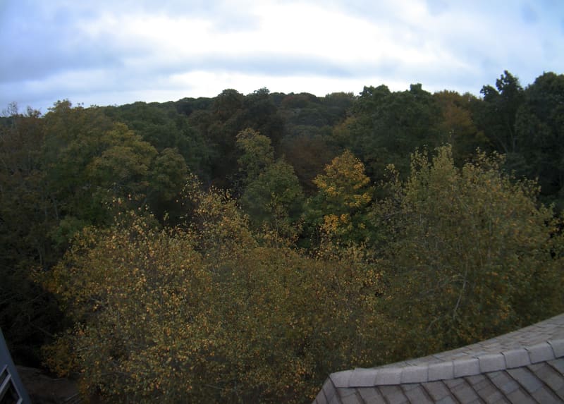
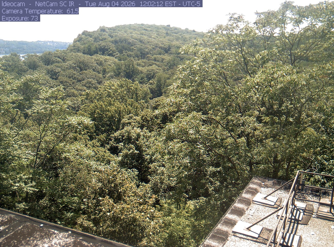
A broad woodland canopy viewed over a building roof, with mostly green crowns and scattered yellow/orange near leaves. Strong sunlight produces dark canopy gaps and slight right-edge softness, but substantial foliage is readable. No apparent wet lens or direct glare.
· 12:00 camera time

PhenoCam Network and Woods Hole Research Center, Woods Hole, Massachusetts
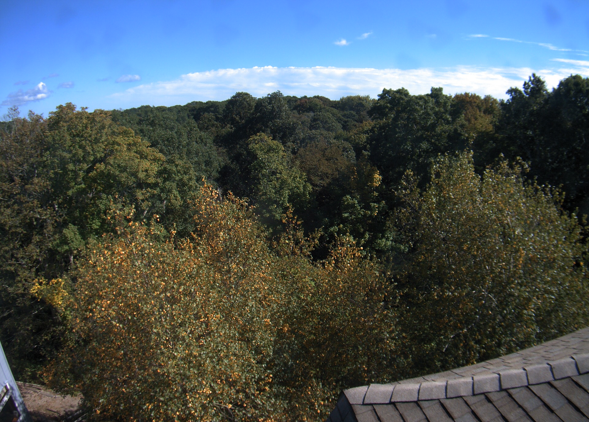
A broad woodland canopy viewed over a building roof, with mostly green crowns and scattered yellow/orange near leaves. Strong sunlight produces dark canopy gaps and slight right-edge softness, but substantial foliage is readable. No apparent wet lens or direct glare.
· 12:30 camera time

PhenoCam Network and Woods Hole Research Center, Woods Hole, Massachusetts

The camera’s website

Worcester campus woodland

Massachusetts · In the daily camera check
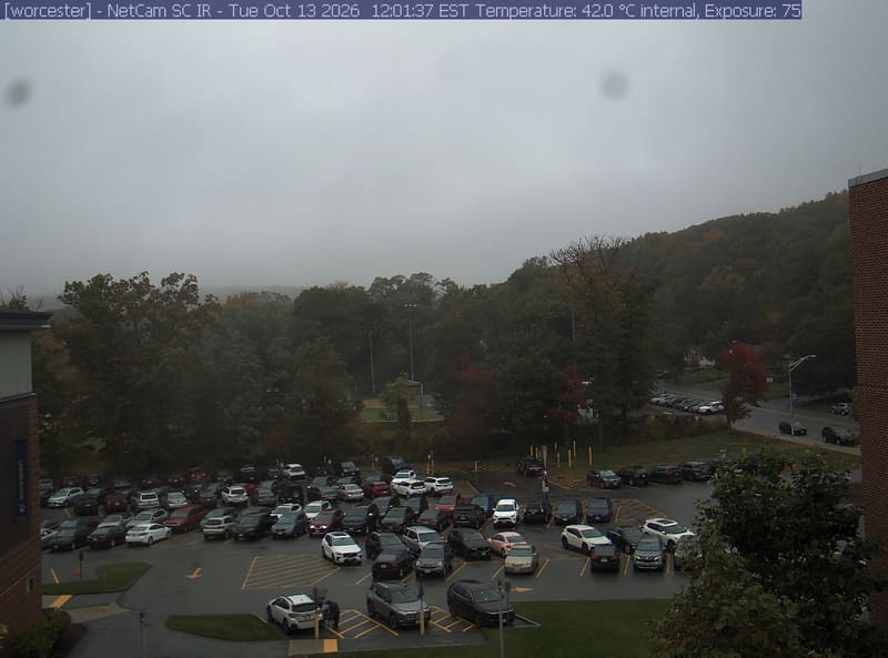
A wooded hill rises beyond a campus car park and a ball field, with a brick wall at the right edge. Cars, buildings and sky take up much of the view.
· 12:01 camera time

PhenoCam Network / Worcester State University, Worcester, Massachusetts
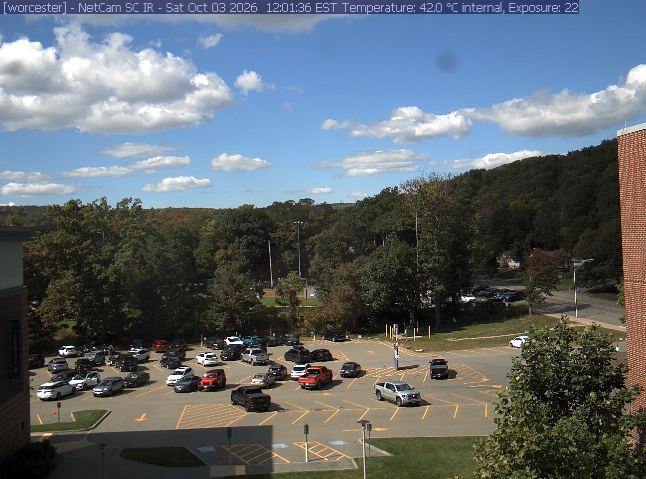
A wooded hill rises beyond a campus car park and a ball field, with a brick wall at the right edge. Cars, buildings and sky take up much of the view.

PhenoCam Network / Worcester State University, Worcester, Massachusetts
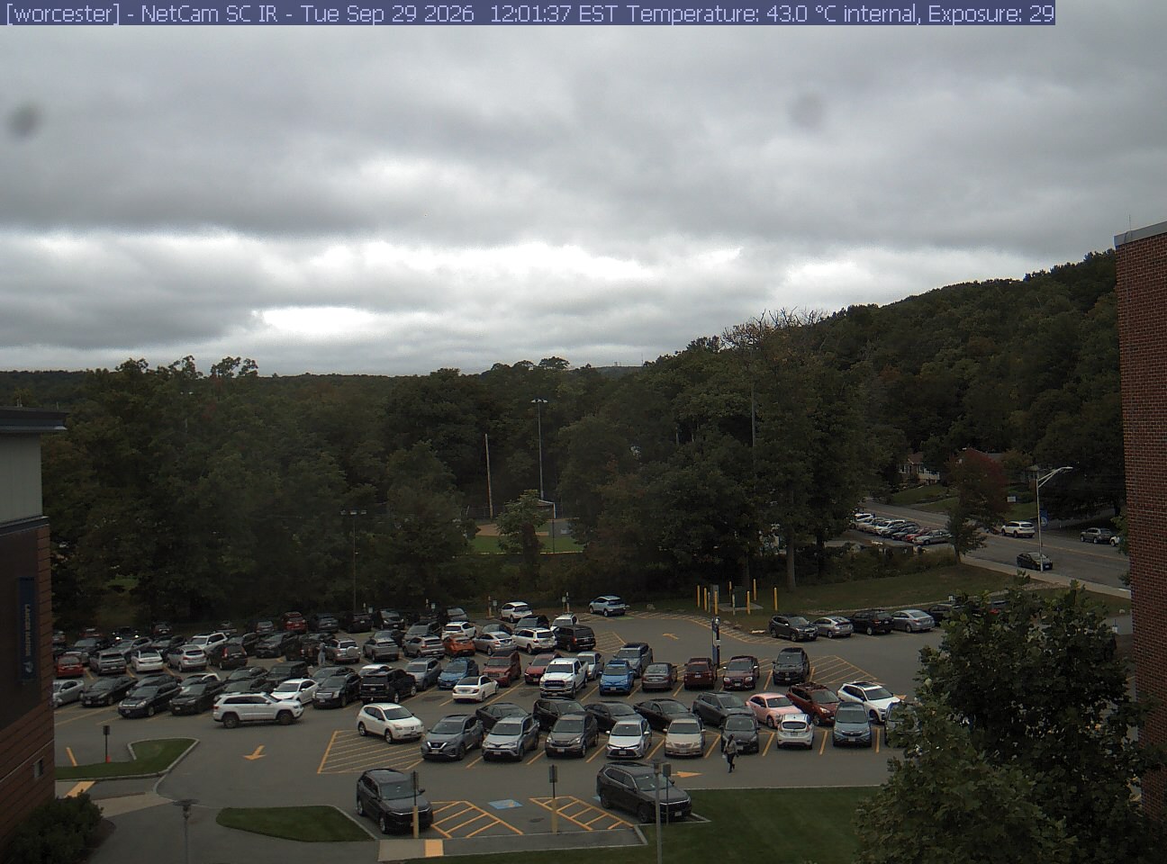
A wooded hill rises beyond a campus car park and a ball field, with a brick wall at the right edge. Cars, buildings and sky take up much of the view.
· 12:01 camera time

PhenoCam Network / Worcester State University, Worcester, Massachusetts
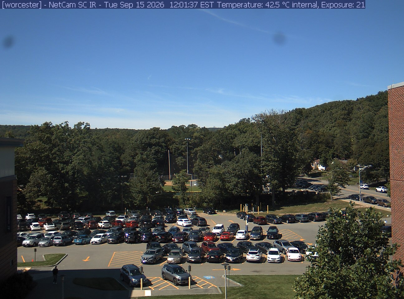
A wooded hill rises beyond a campus car park and a ball field, with a brick wall at the right edge. Cars, buildings and sky take up much of the view.
· 12:01 camera time

PhenoCam Network / Worcester State University, Worcester, Massachusetts
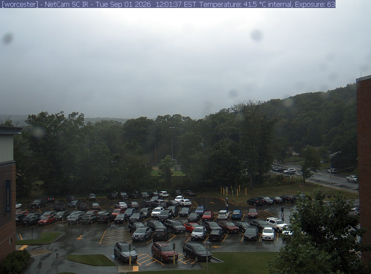
A wooded hill rises beyond a campus car park and a ball field, with a brick wall at the right edge. Cars, buildings and sky take up much of the view.
· 12:01 camera time

PhenoCam Network / Worcester State University, Worcester, Massachusetts
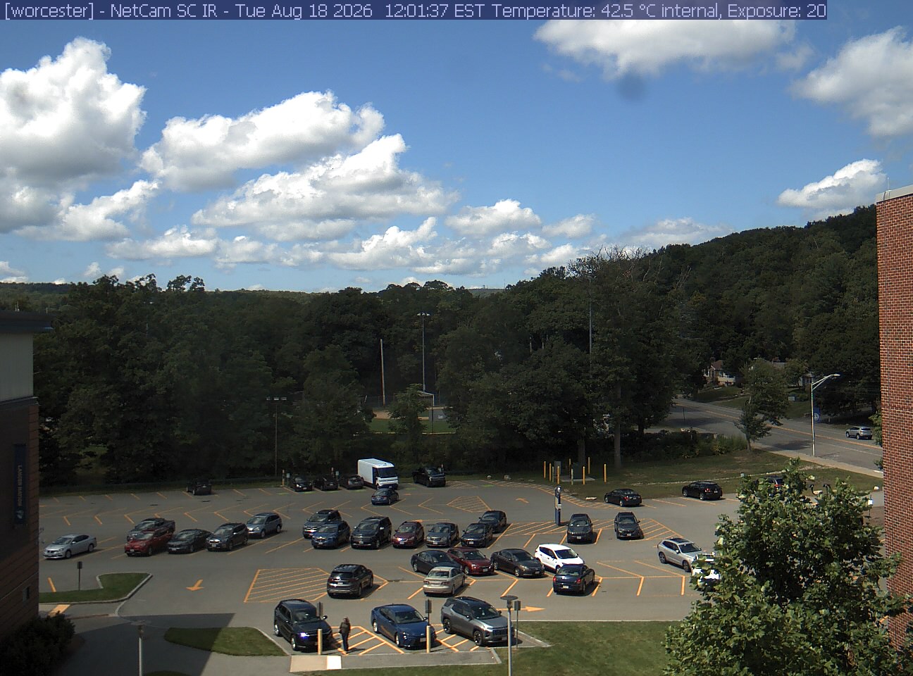
A wooded hill rises beyond a campus car park and a ball field, with a brick wall at the right edge. Cars, buildings and sky take up much of the view.
· 12:01 camera time

PhenoCam Network / Worcester State University, Worcester, Massachusetts
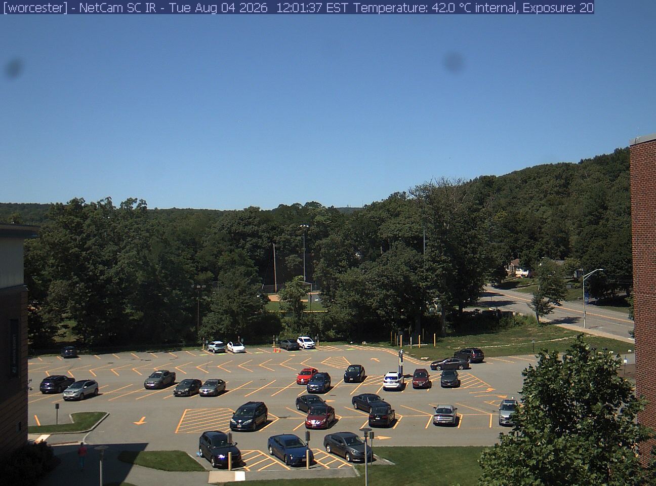
A wooded hill rises beyond a campus car park and a ball field, with a brick wall at the right edge. Cars, buildings and sky take up much of the view.
· 12:01 camera time

PhenoCam Network / Worcester State University, Worcester, Massachusetts

The camera’s website

Open the place’s page

Bartlett Forest

New Hampshire · In the daily camera check
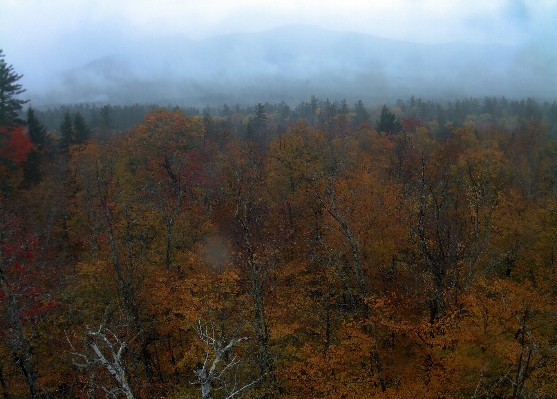
A wooded ridge rises beyond the close canopy at Bartlett Experimental Forest.
· 12:00 camera time

PhenoCam Network / Bartlett Experimental Forest
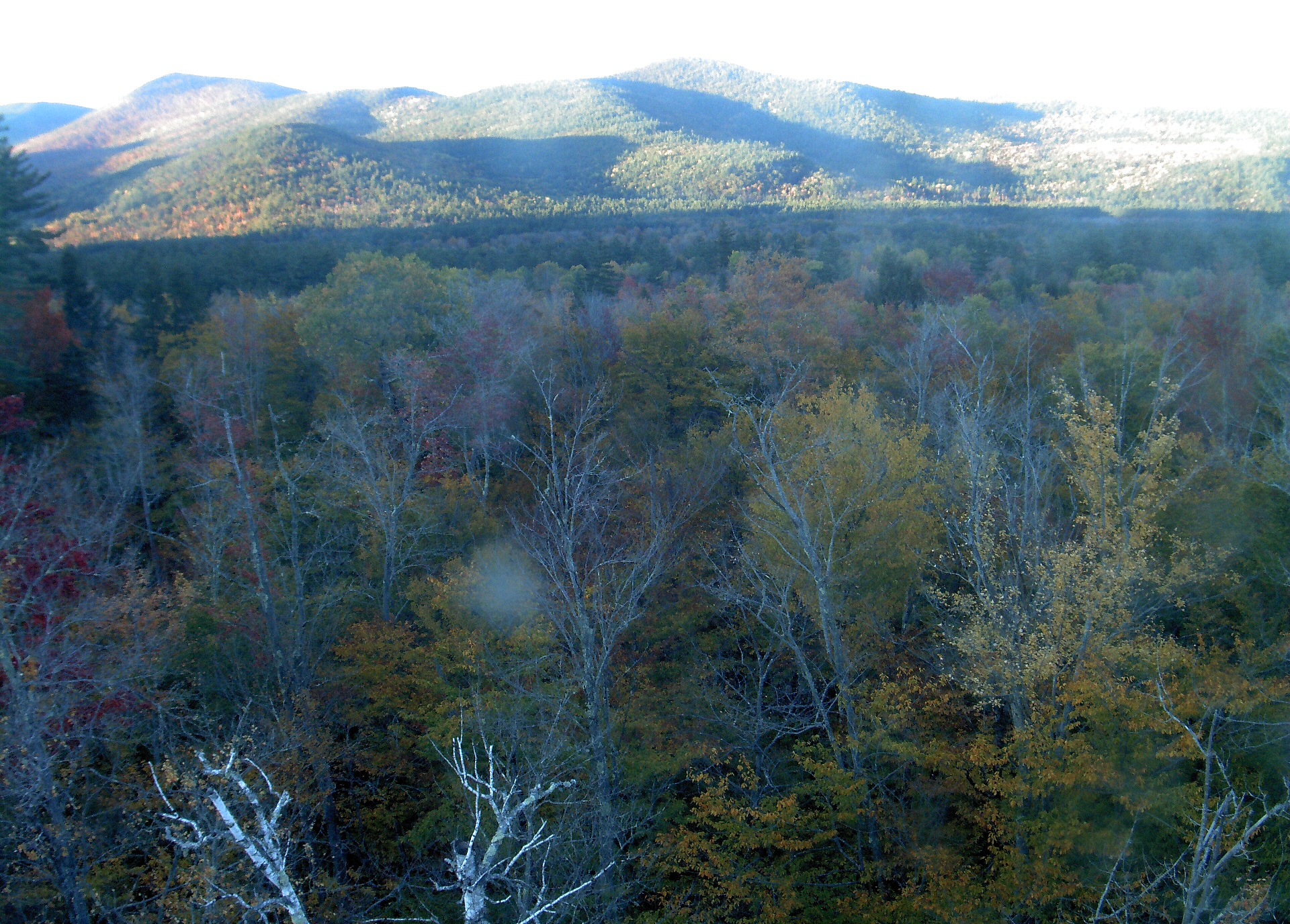
A wooded ridge rises beyond the close canopy at Bartlett Experimental Forest.
· 16:45 camera time

PhenoCam Network / Bartlett Experimental Forest
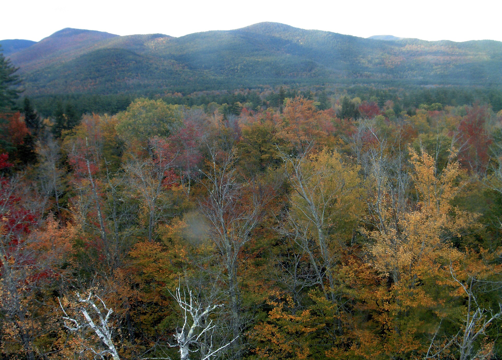
A wooded ridge rises beyond the close canopy at Bartlett Experimental Forest.
· 16:45 camera time

PhenoCam Network / Bartlett Experimental Forest
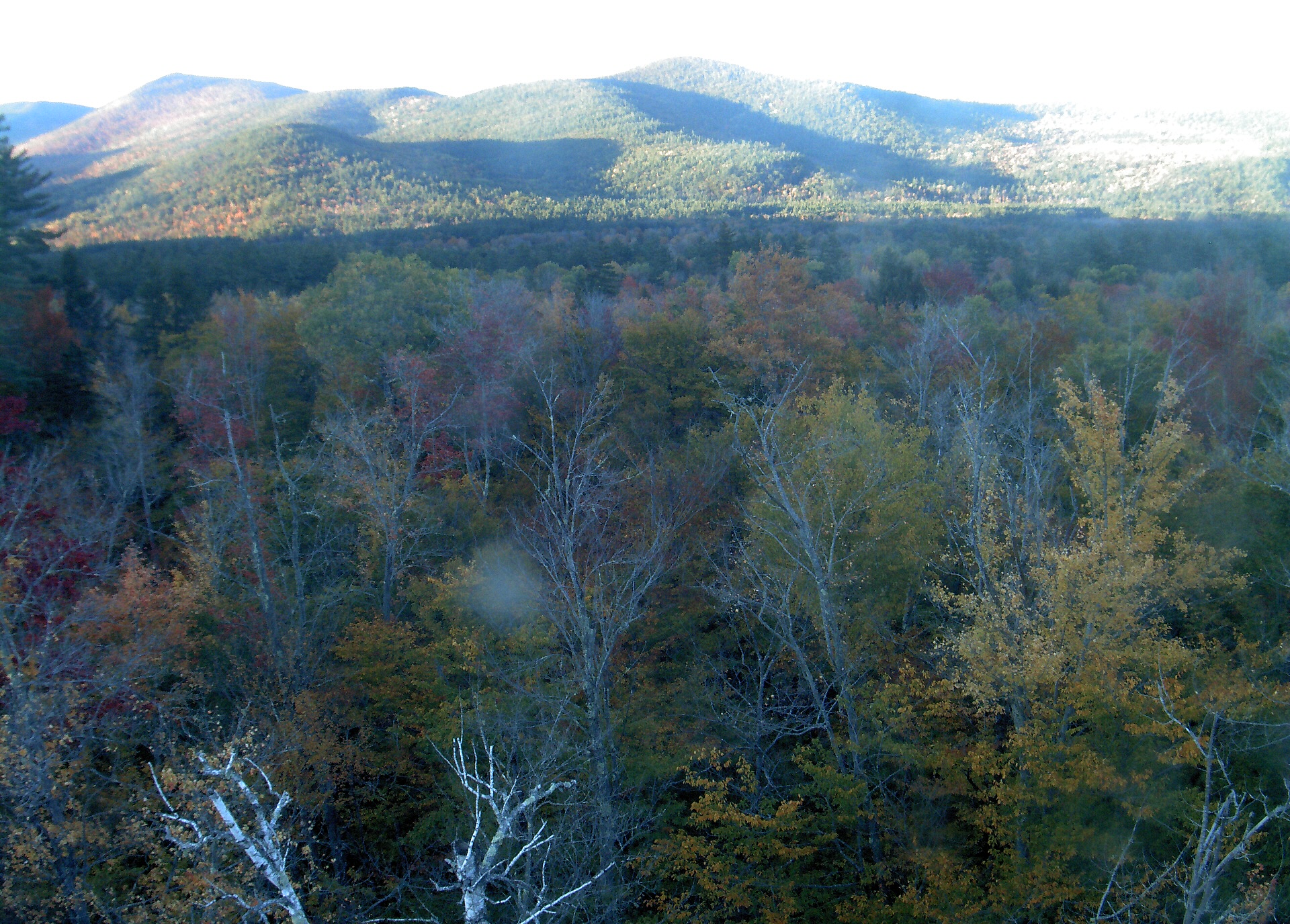
A wooded ridge rises beyond the close canopy at Bartlett Experimental Forest.
· 16:45 camera time

PhenoCam Network / Bartlett Experimental Forest
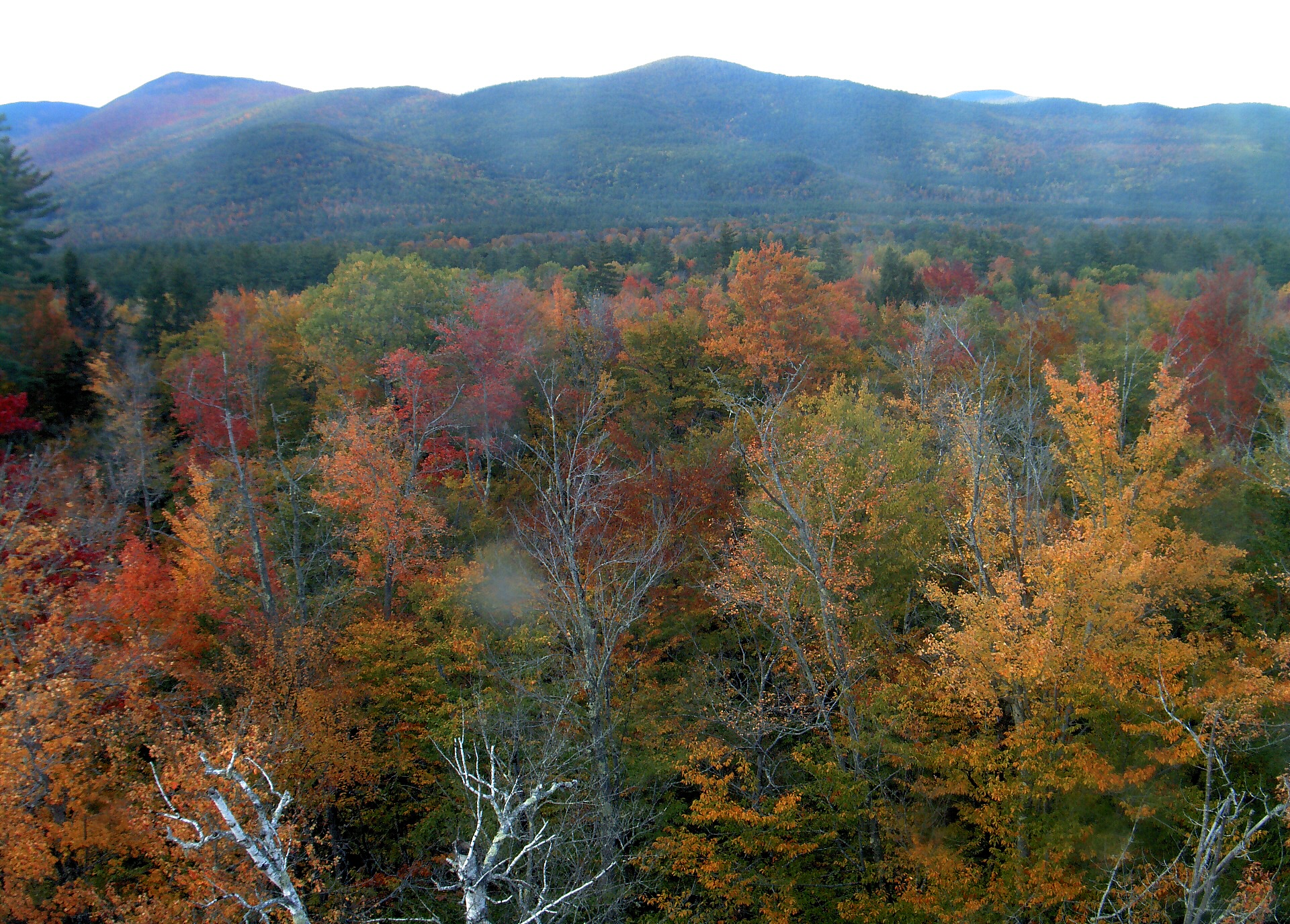
A wooded ridge rises beyond the close canopy at Bartlett Experimental Forest.
· 16:45 camera time

PhenoCam Network / Bartlett Experimental Forest
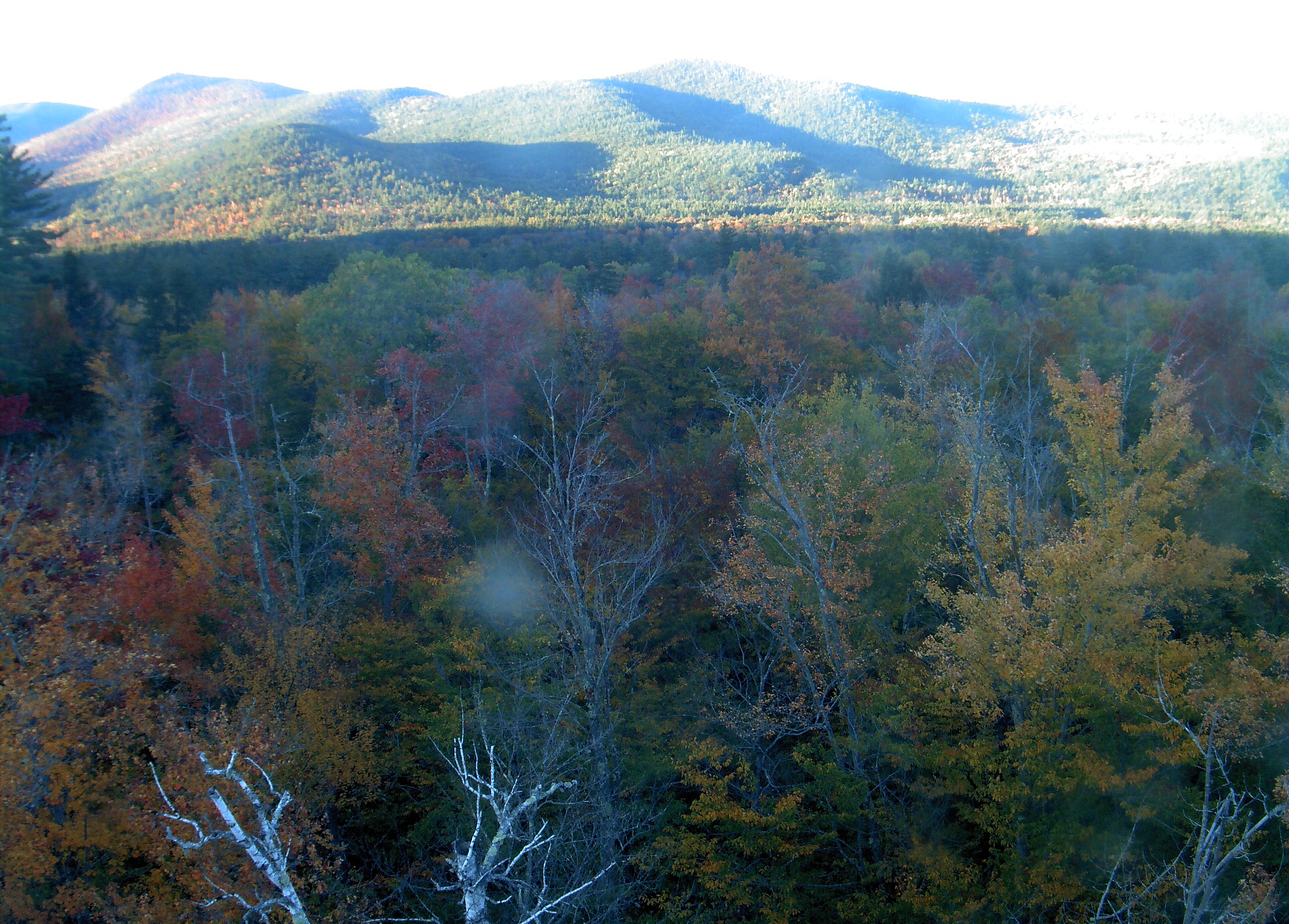
A wooded ridge rises beyond the close canopy at Bartlett Experimental Forest.
· 16:45 camera time

PhenoCam Network / Bartlett Experimental Forest
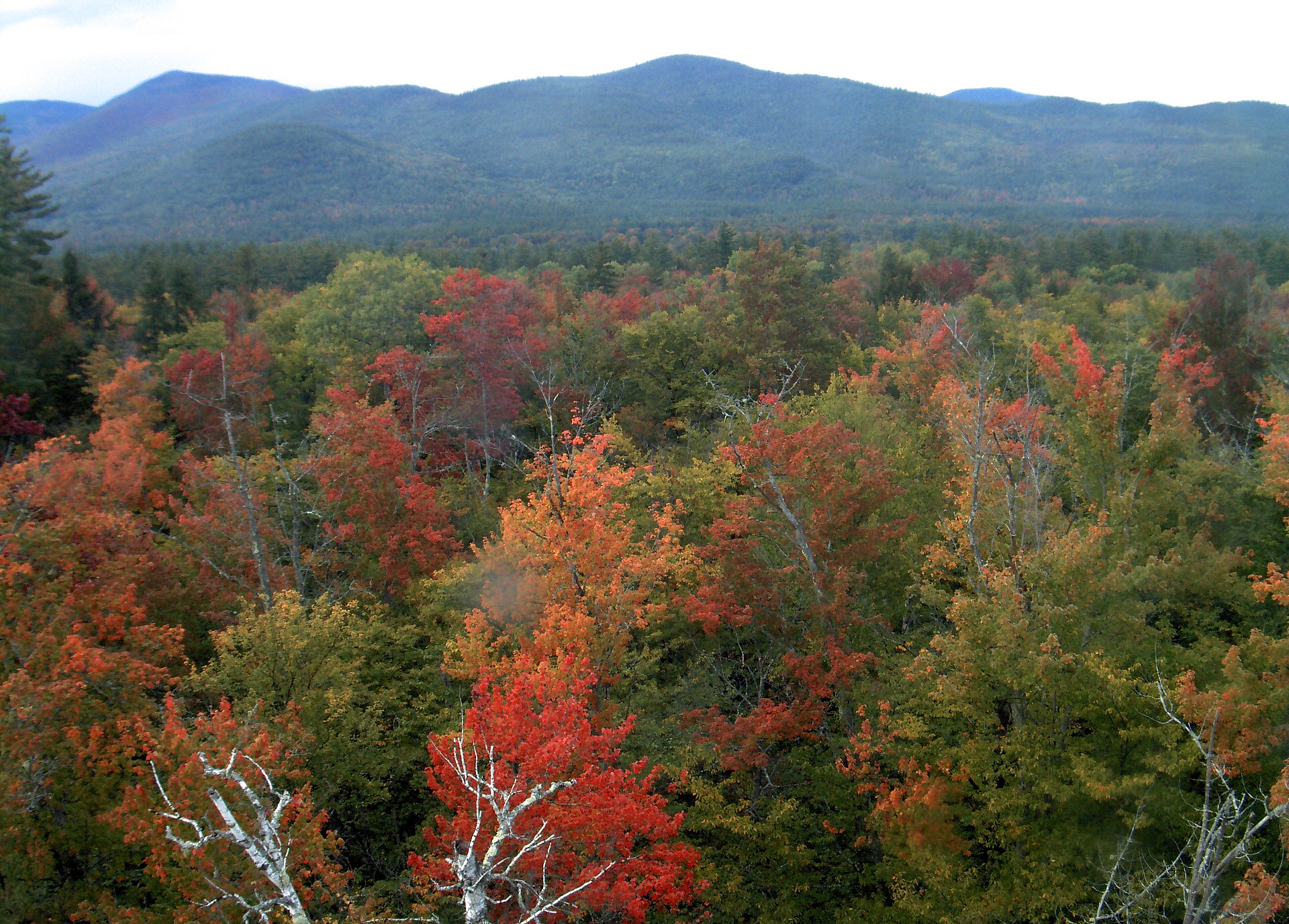
A wooded ridge rises beyond the close canopy at Bartlett Experimental Forest.
· 16:45 camera time

PhenoCam Network / Bartlett Experimental Forest
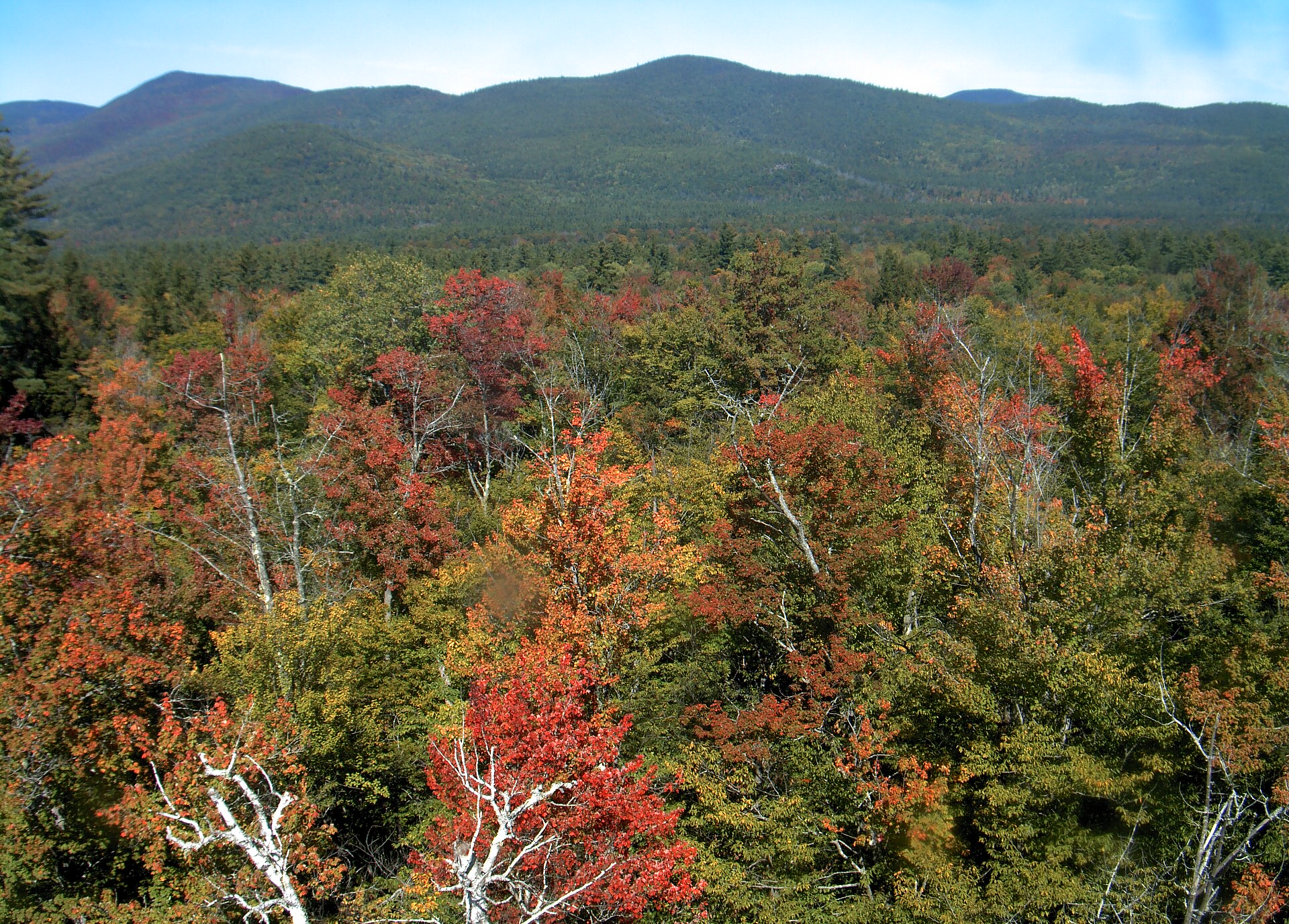
A wooded ridge rises beyond the close canopy at Bartlett Experimental Forest.
· 12:00 camera time

PhenoCam Network / Bartlett Experimental Forest
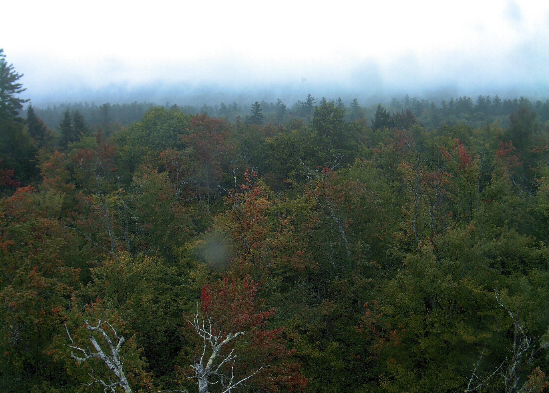
A wooded ridge rises beyond the close canopy at Bartlett Experimental Forest.
· 12:00 camera time

PhenoCam Network / Bartlett Experimental Forest
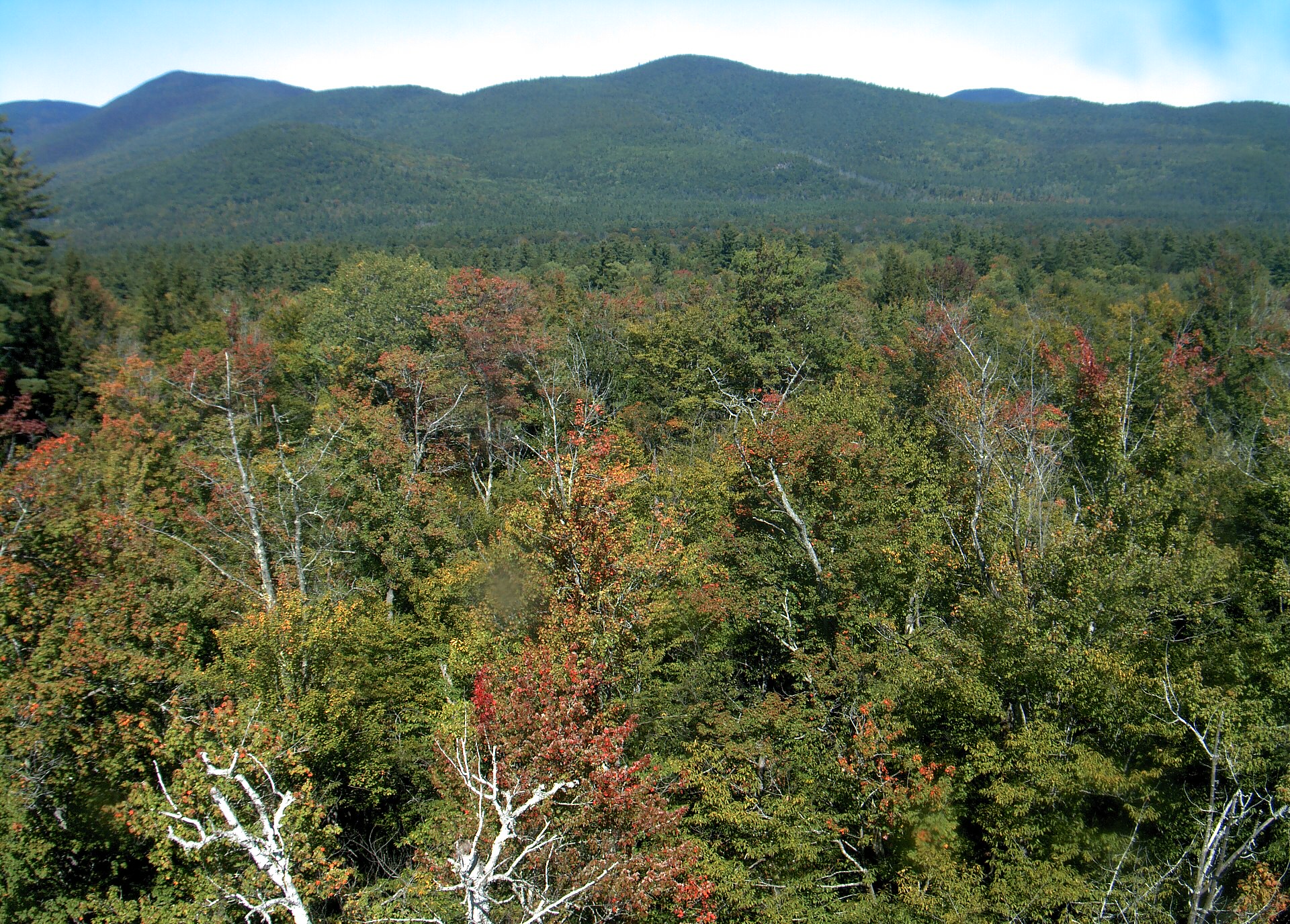
A wooded ridge rises beyond the close canopy at Bartlett Experimental Forest.
· 12:00 camera time

PhenoCam Network / Bartlett Experimental Forest

A wooded ridge rises beyond the close canopy at Bartlett Experimental Forest.
· 12:00 camera time

PhenoCam Network / Bartlett Experimental Forest
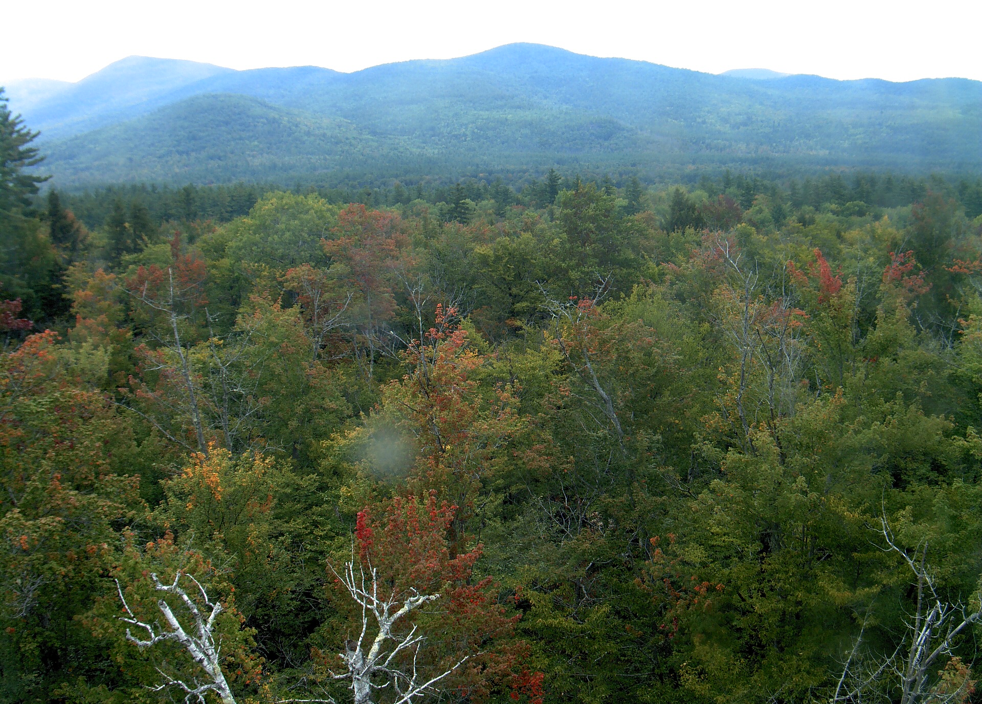
A wooded ridge rises beyond the close canopy at Bartlett Experimental Forest.
· 12:00 camera time

PhenoCam Network / Bartlett Experimental Forest
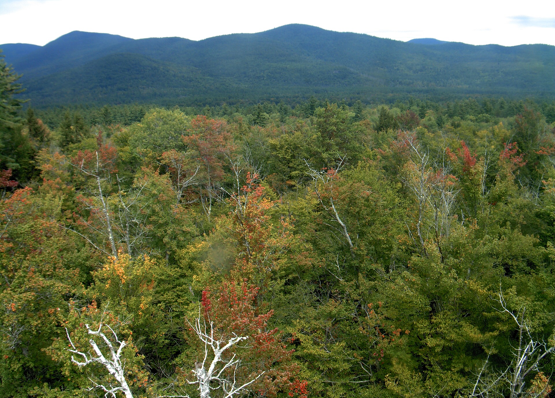
A wooded ridge rises beyond the close canopy at Bartlett Experimental Forest.
· 12:00 camera time

PhenoCam Network / Bartlett Experimental Forest
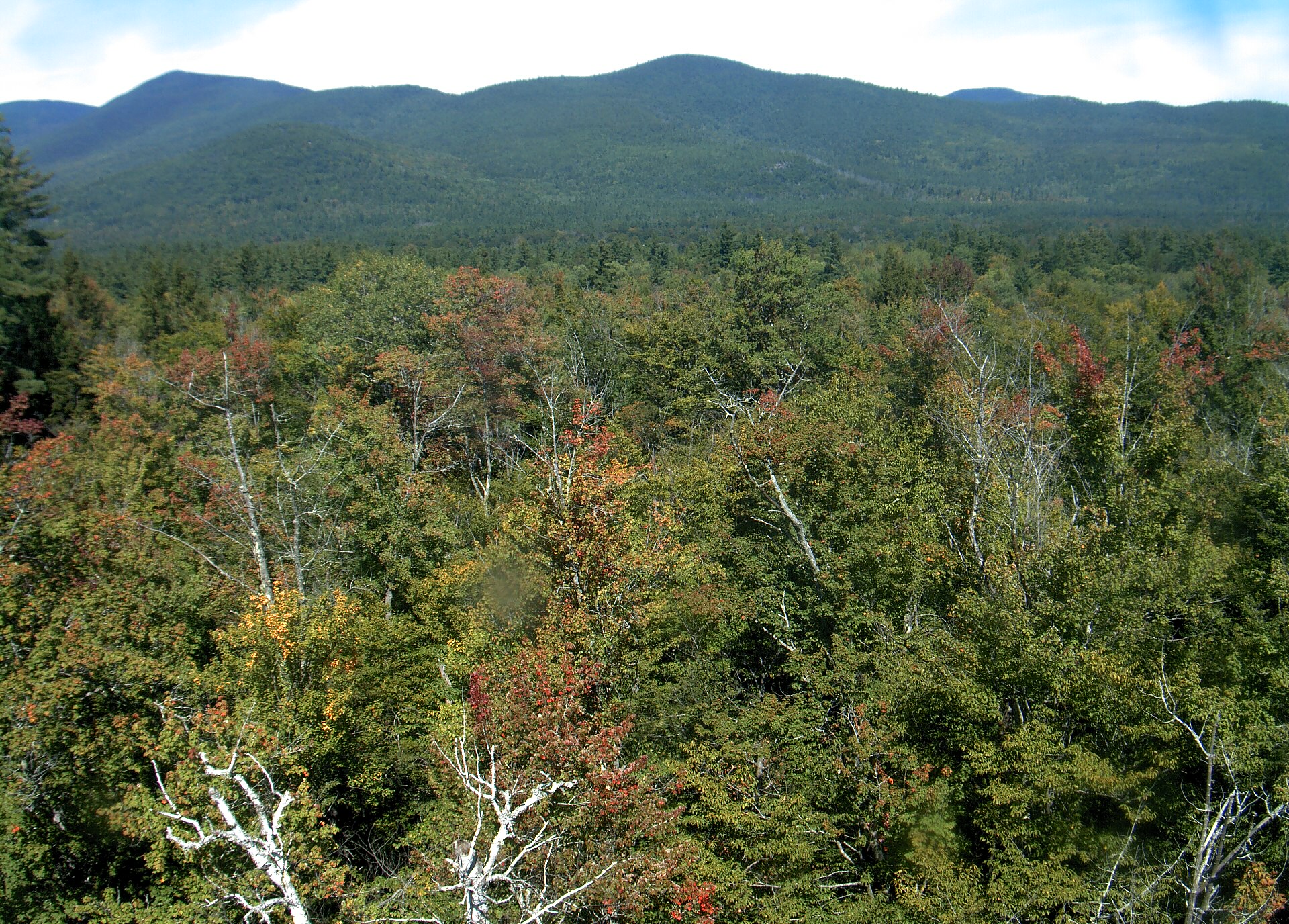
A wooded ridge rises beyond the close canopy at Bartlett Experimental Forest.
· 12:00 camera time

PhenoCam Network / Bartlett Experimental Forest
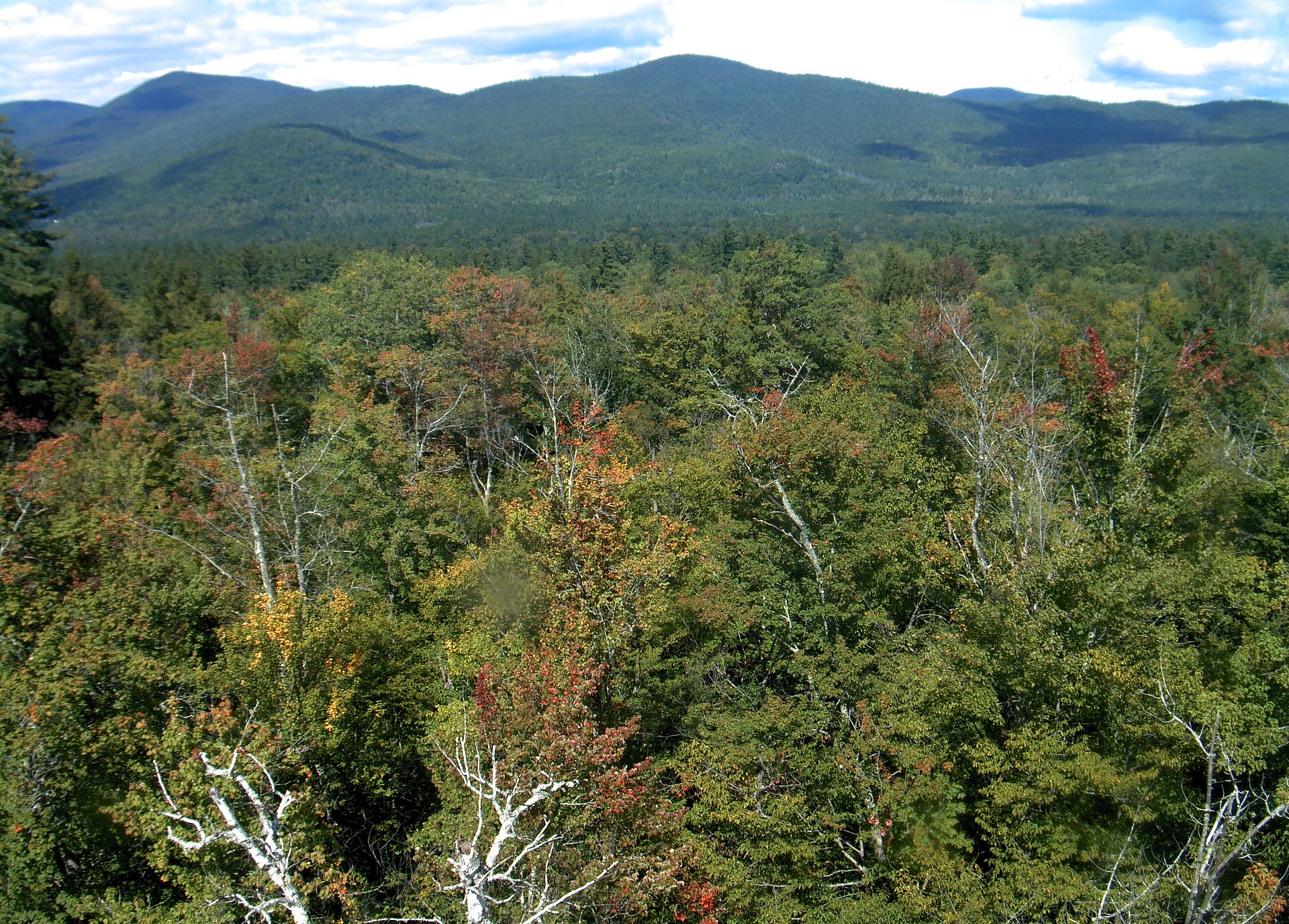
A wooded ridge rises beyond the close canopy at Bartlett Experimental Forest.
· 12:45 camera time

PhenoCam Network / Bartlett Experimental Forest
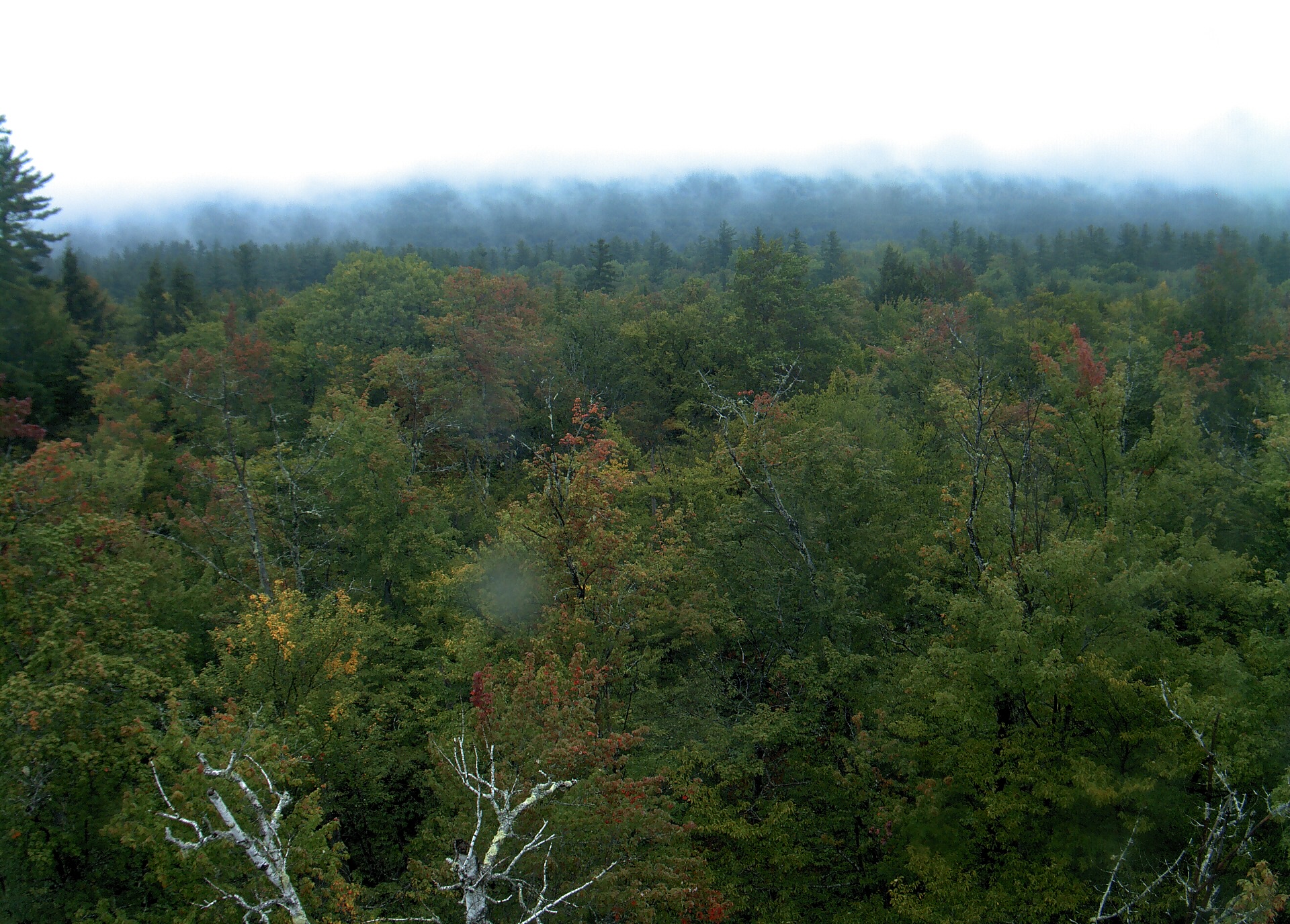
A wooded ridge rises beyond the close canopy at Bartlett Experimental Forest.
· 12:00 camera time

PhenoCam Network / Bartlett Experimental Forest
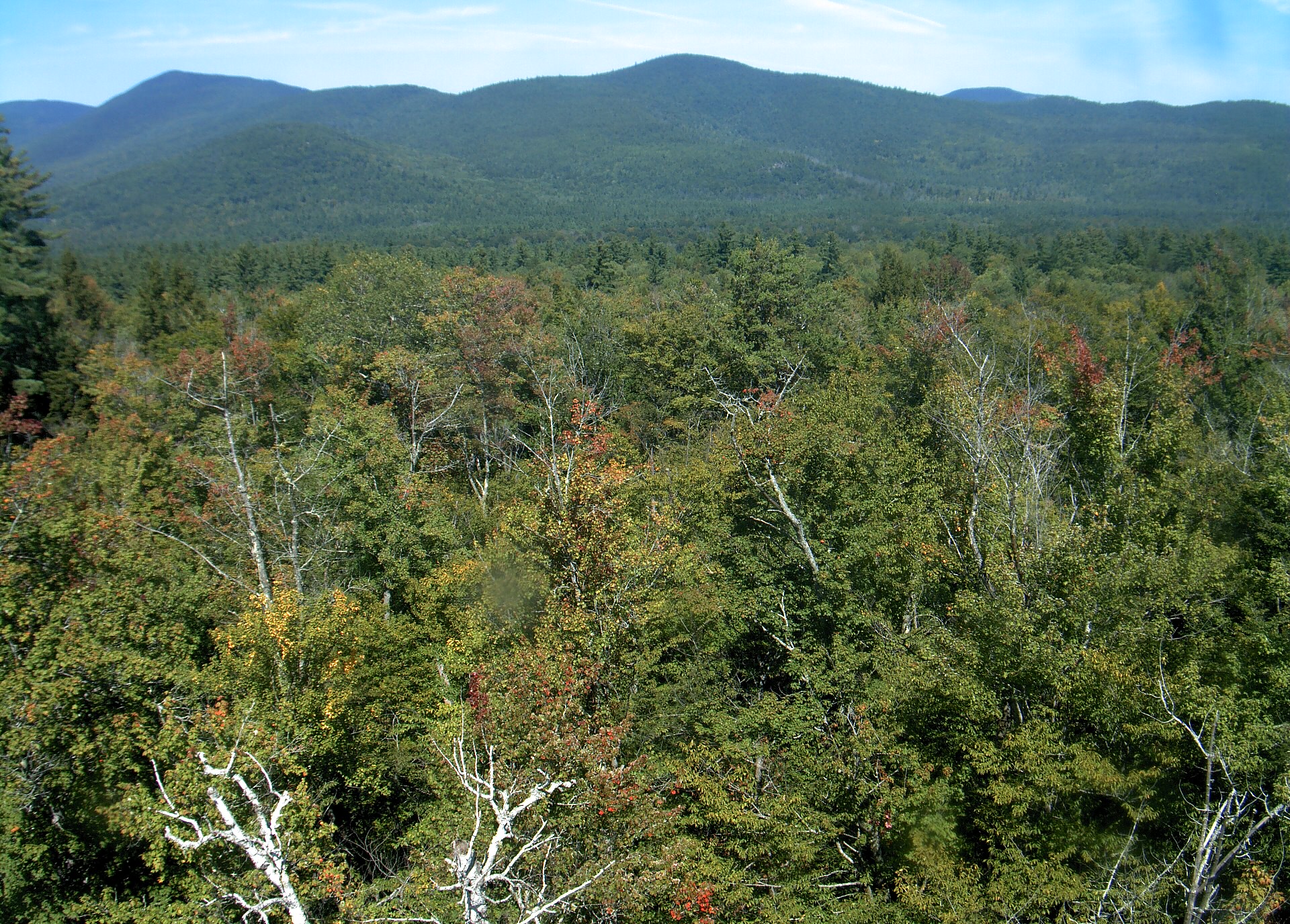
A wooded ridge rises beyond the close canopy at Bartlett Experimental Forest.
· 12:00 camera time

PhenoCam Network / Bartlett Experimental Forest

A wooded ridge rises beyond the close canopy at Bartlett Experimental Forest.
· 12:00 camera time

PhenoCam Network / Bartlett Experimental Forest
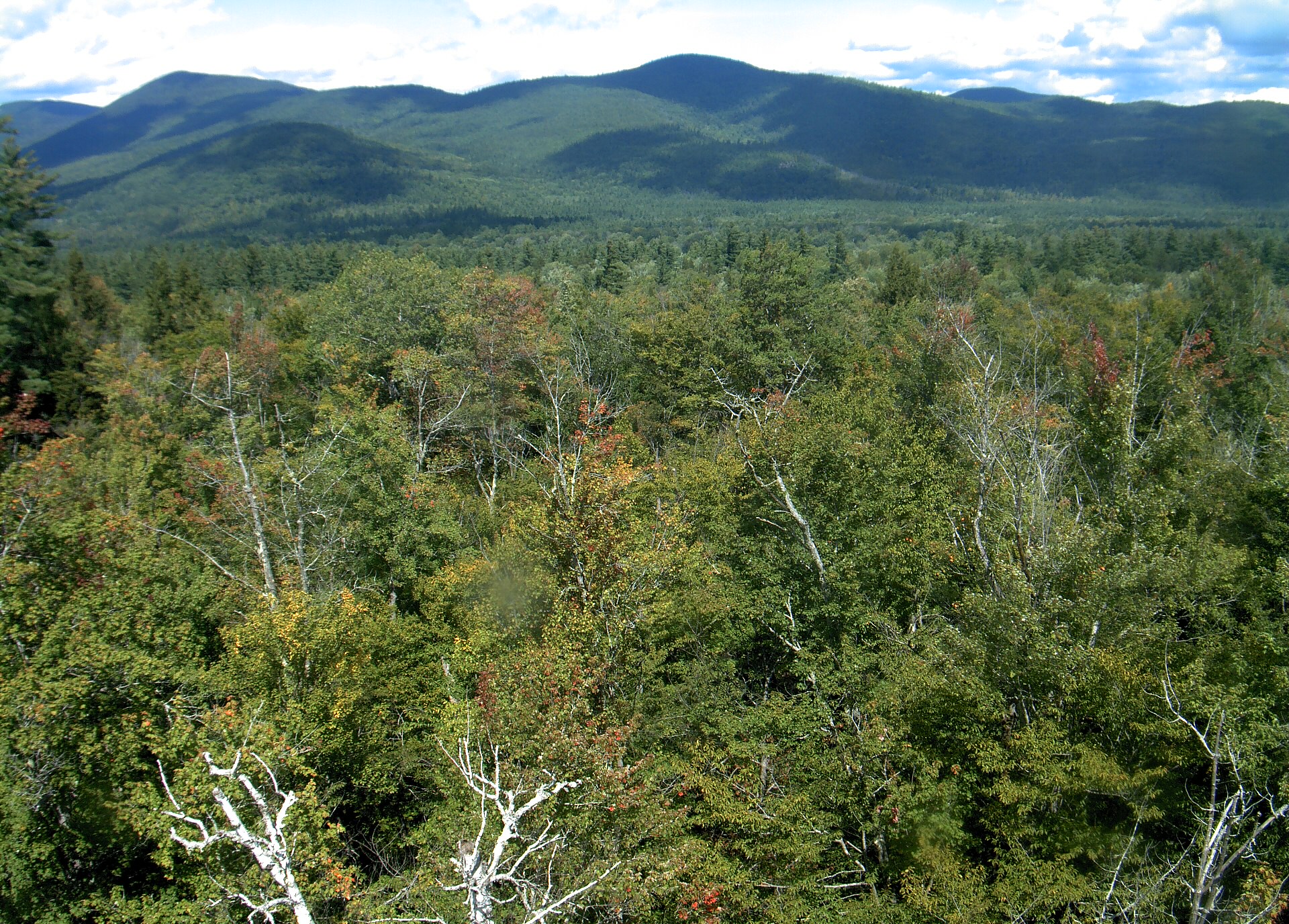
A wooded ridge rises beyond the close canopy at Bartlett Experimental Forest.
· 12:00 camera time

PhenoCam Network / Bartlett Experimental Forest
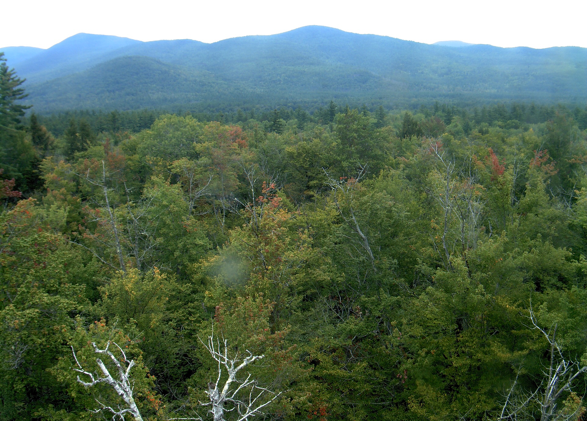
A wooded ridge rises beyond the close canopy at Bartlett Experimental Forest.
· 12:00 camera time

PhenoCam Network / Bartlett Experimental Forest
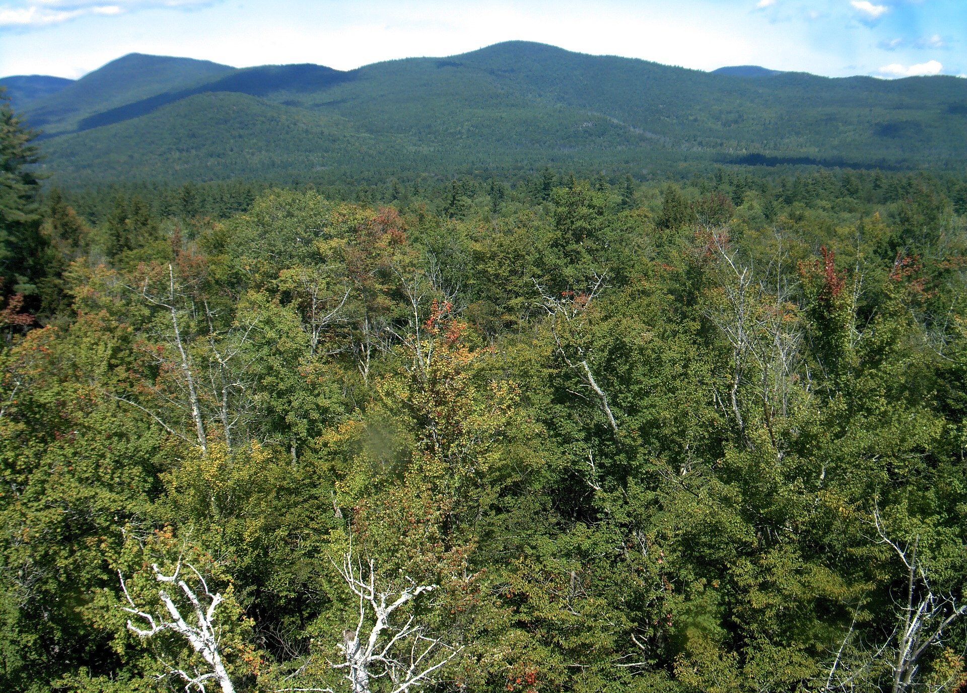
A wooded ridge rises beyond the close canopy at Bartlett Experimental Forest.
· 12:00 camera time

PhenoCam Network / Bartlett Experimental Forest
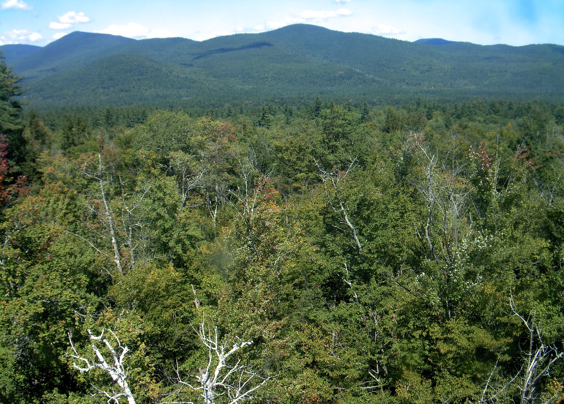
A wooded ridge rises beyond the close canopy at Bartlett Experimental Forest.
· 12:00 camera time

PhenoCam Network / Bartlett Experimental Forest
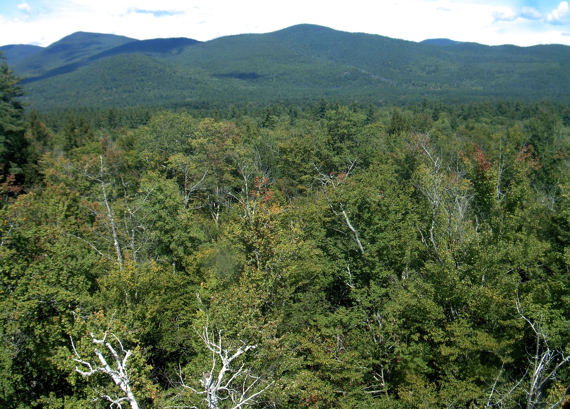
A wooded ridge rises beyond the close canopy at Bartlett Experimental Forest.
· 12:00 camera time

PhenoCam Network / Bartlett Experimental Forest
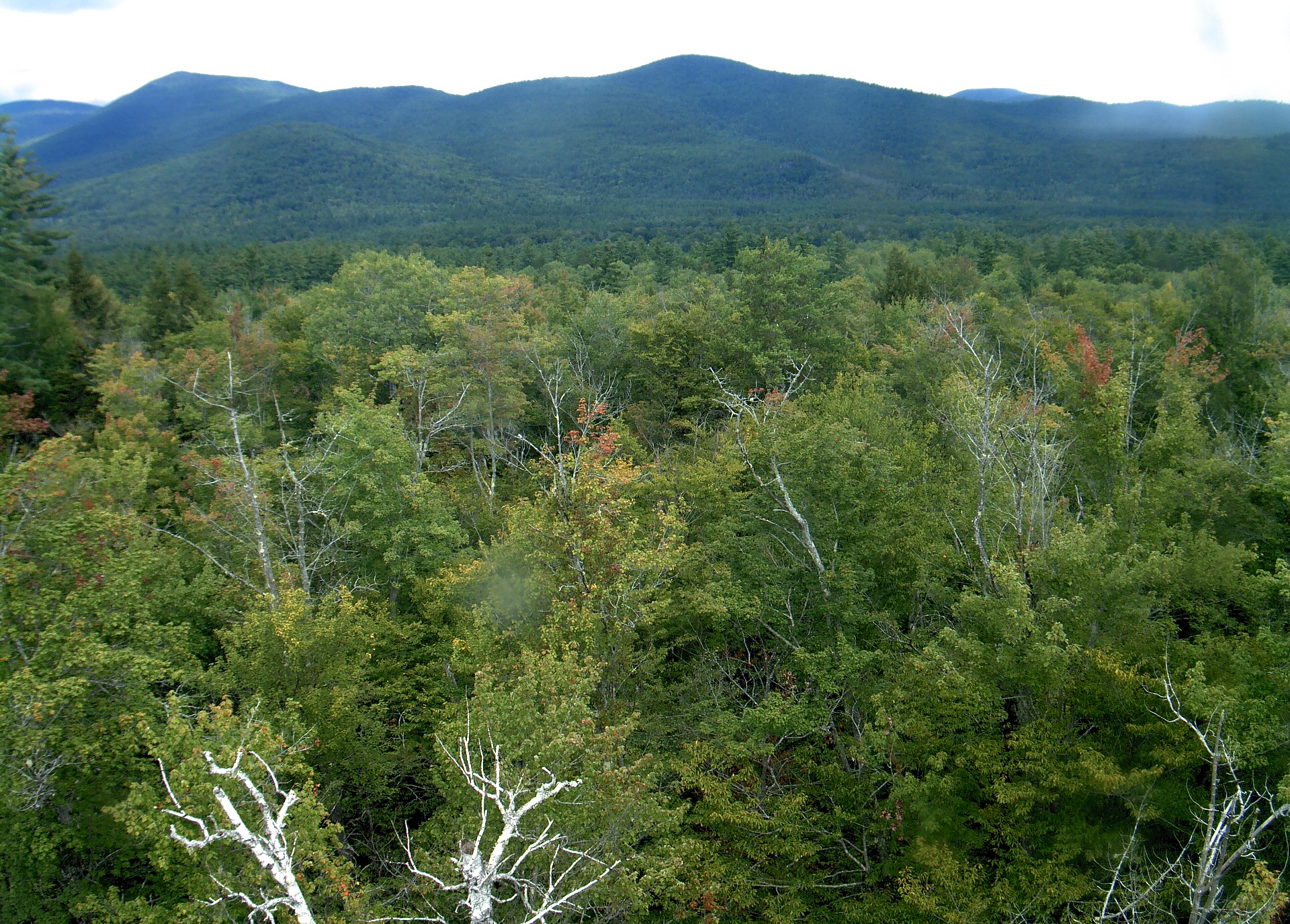
A wooded ridge rises beyond the close canopy at Bartlett Experimental Forest.
· 12:00 camera time

PhenoCam Network / Bartlett Experimental Forest
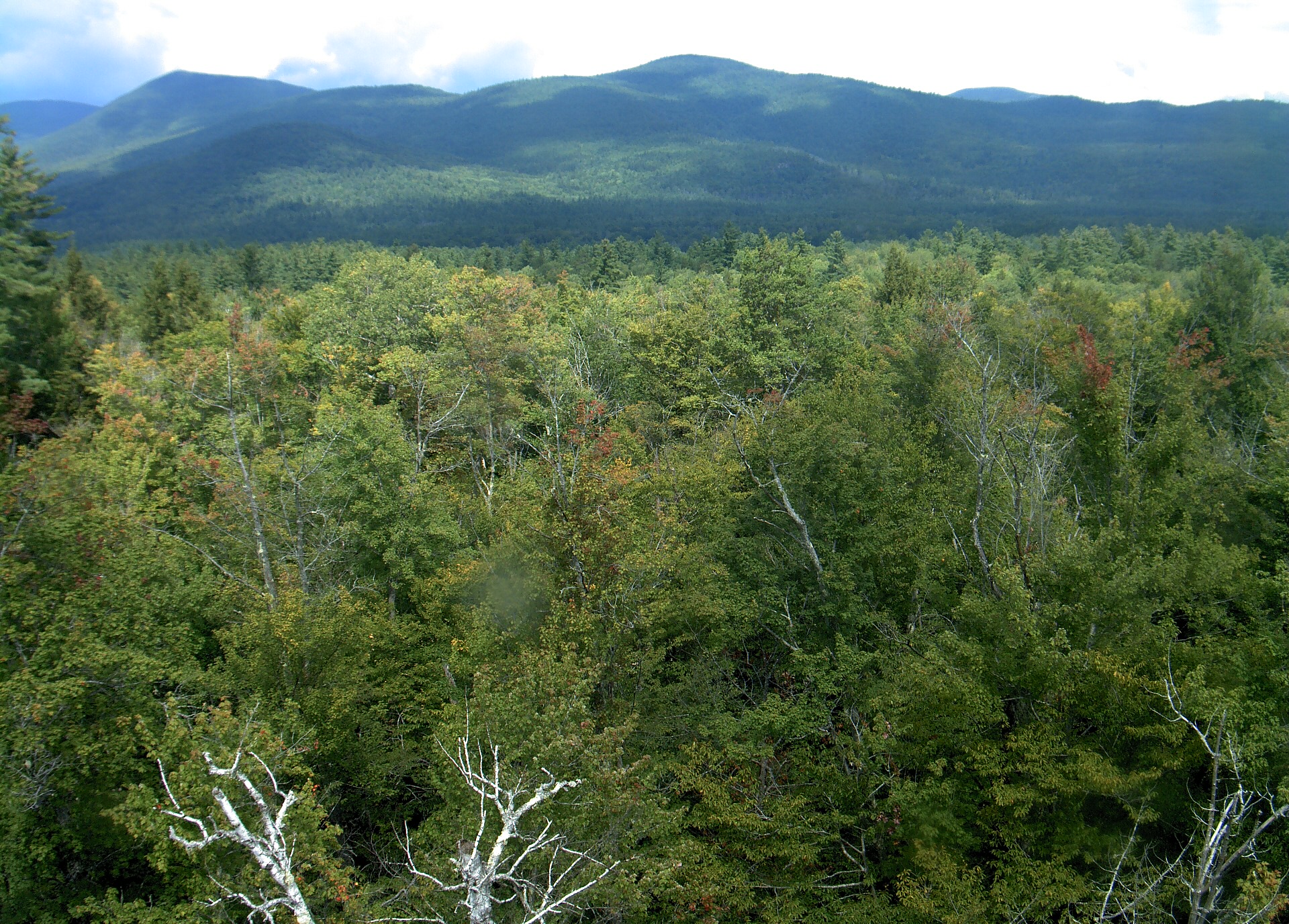
A wooded ridge rises beyond the close canopy at Bartlett Experimental Forest.
· 12:00 camera time

PhenoCam Network / Bartlett Experimental Forest
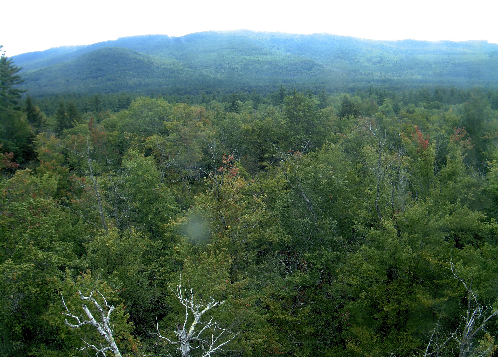
A wooded ridge rises beyond the close canopy at Bartlett Experimental Forest.
· 12:00 camera time

PhenoCam Network / Bartlett Experimental Forest
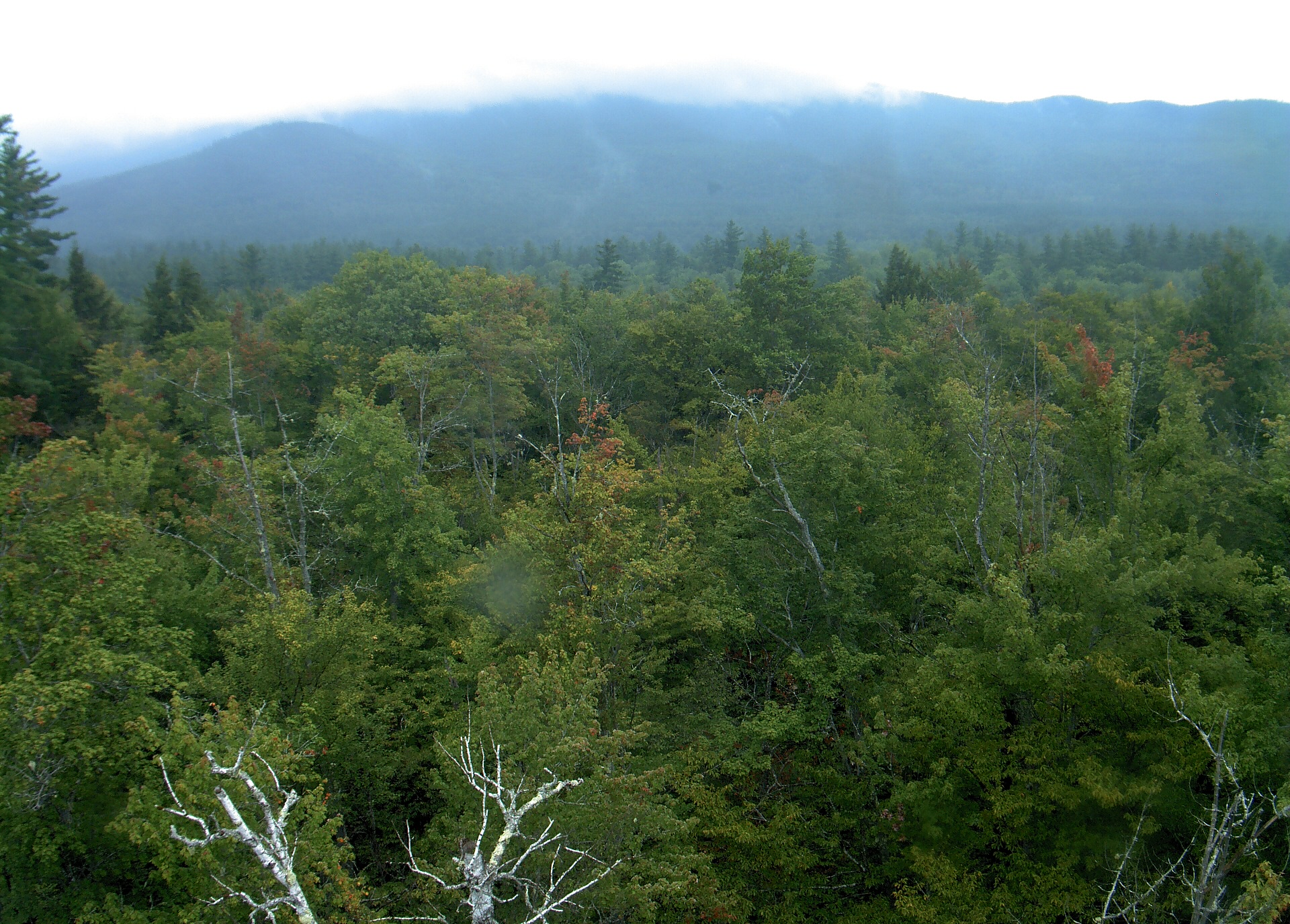
A wooded ridge rises beyond the close canopy at Bartlett Experimental Forest.
· 12:00 camera time

PhenoCam Network / Bartlett Experimental Forest
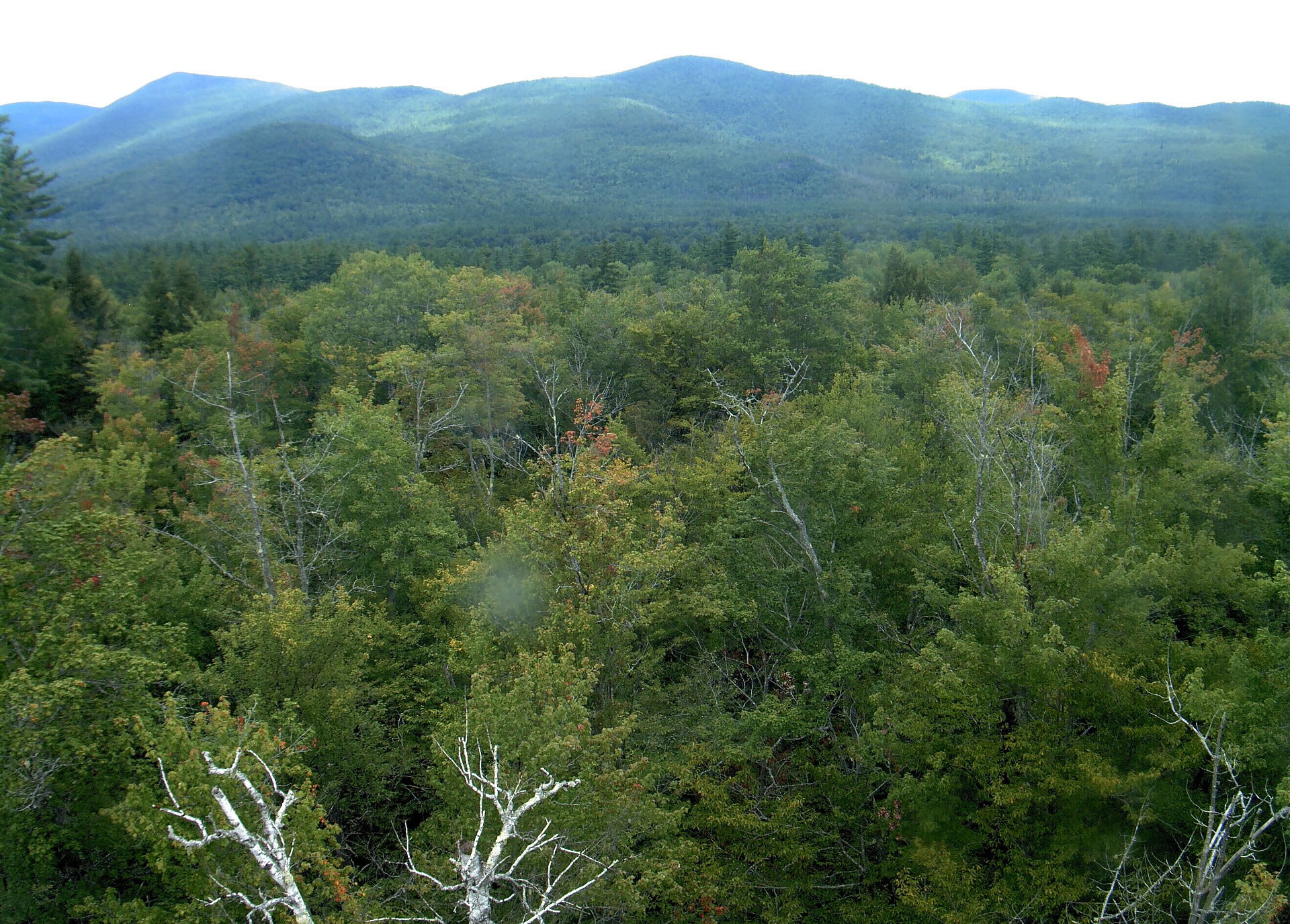
A wooded ridge rises beyond the close canopy at Bartlett Experimental Forest.
· 12:00 camera time

PhenoCam Network / Bartlett Experimental Forest
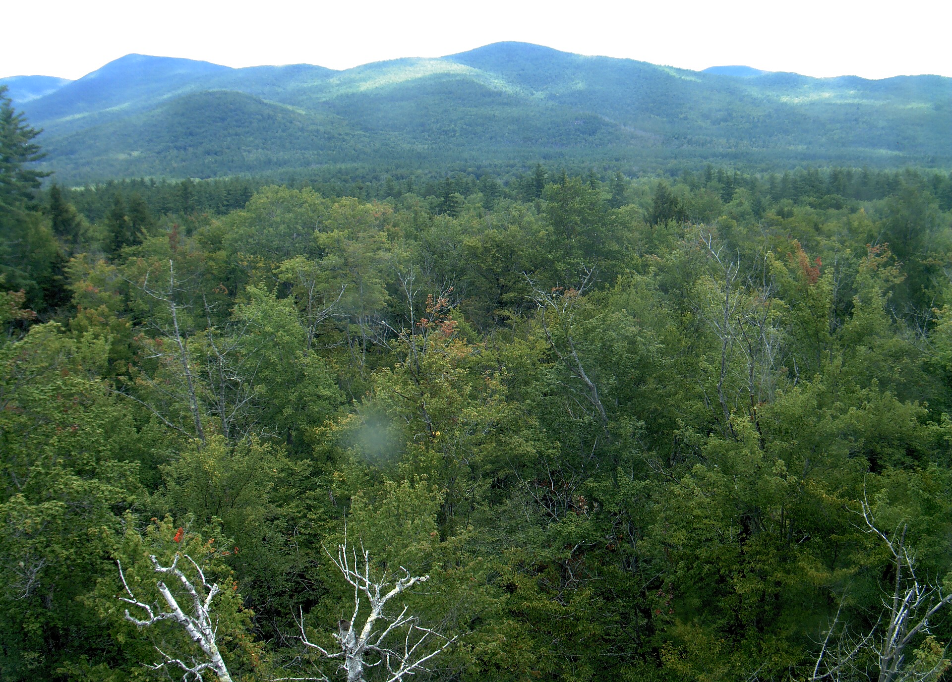
A wooded ridge rises beyond the close canopy at Bartlett Experimental Forest.
· 12:00 camera time

PhenoCam Network / Bartlett Experimental Forest
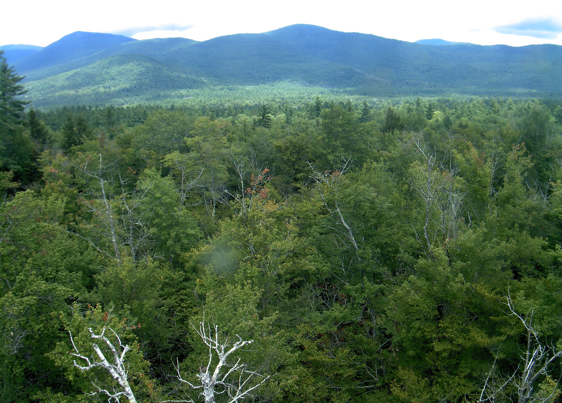
A wooded ridge rises beyond the close canopy at Bartlett Experimental Forest.
· 12:00 camera time

PhenoCam Network / Bartlett Experimental Forest
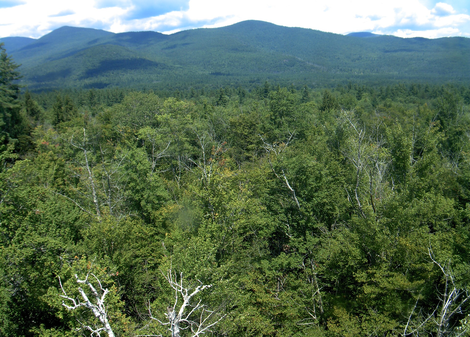
A wooded ridge rises beyond the close canopy at Bartlett Experimental Forest.
· 12:00 camera time

PhenoCam Network / Bartlett Experimental Forest
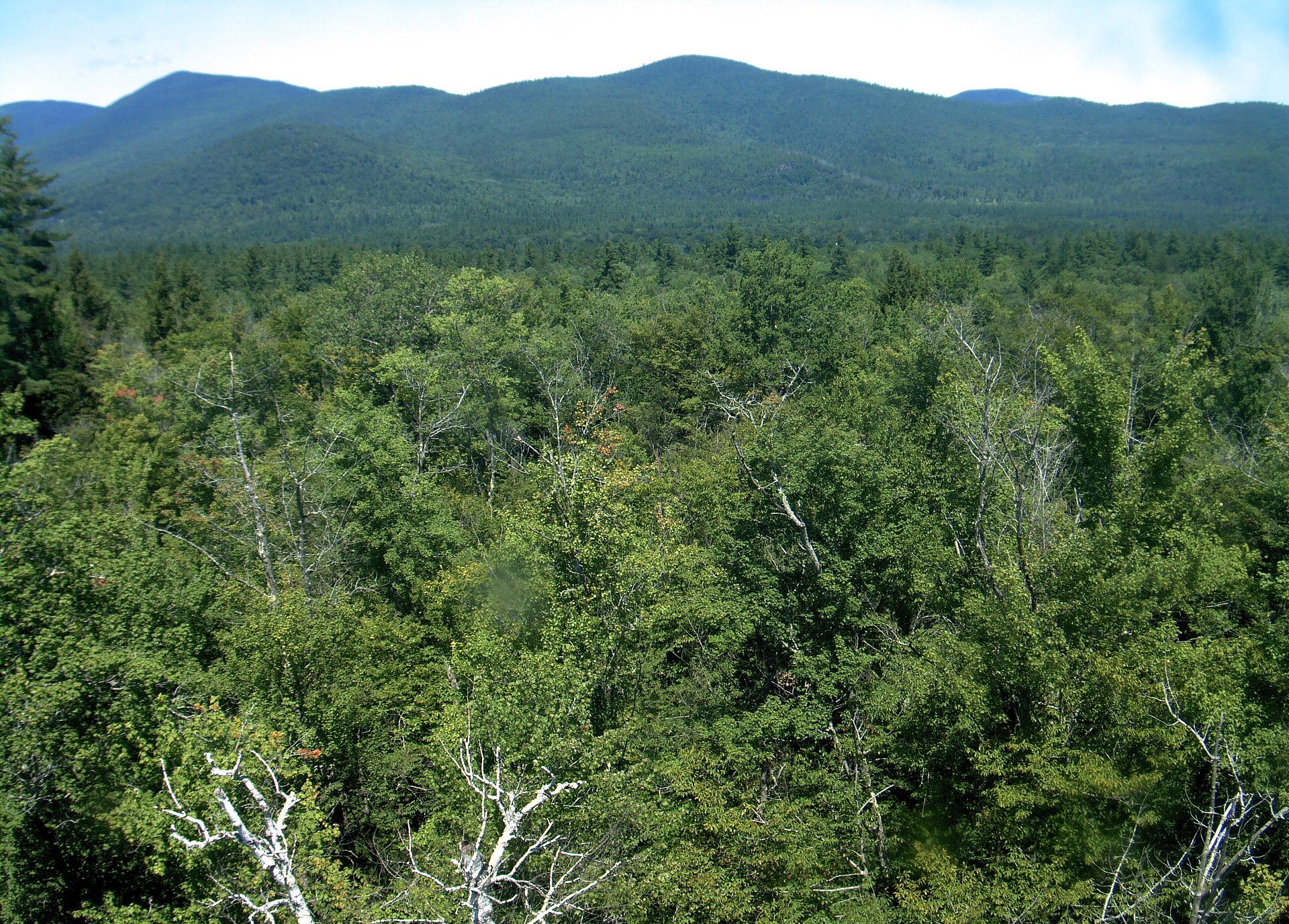
A wooded ridge rises beyond the close canopy at Bartlett Experimental Forest.
· 12:00 camera time

PhenoCam Network / Bartlett Experimental Forest

The camera’s website

Open the place’s page

Bartlett Forest

New Hampshire · In the daily camera check
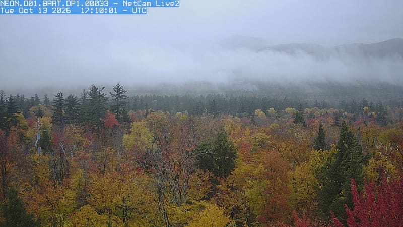
Autumn crowns fill the foreground beneath an unbroken wooded mountain ridge, with yellow and red leaves clearly visible among dark conifers.
· 12:10 camera time

PhenoCam Network / National Ecological Observatory Network (NEON)

The camera’s website

Durham woodland canopy

New Hampshire · In the daily camera check
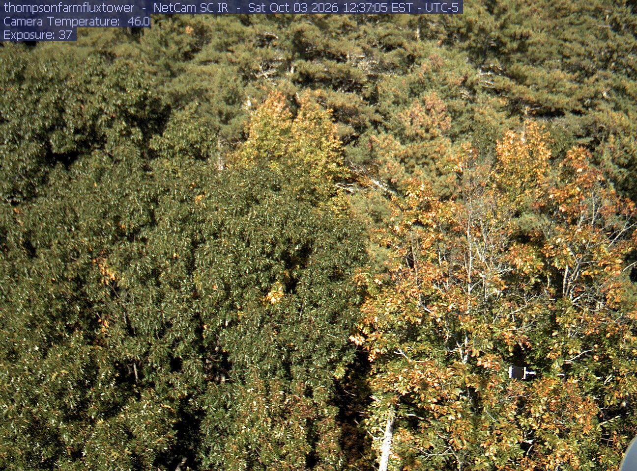
A close canopy view fills the frame with mostly green crowns and scattered yellowing leaves. The texture is slightly soft and lower gaps are shaded, but foliage remains readable. No wet lens or major glare is apparent; there is little horizon or outing scenery.
· 12:37 camera time

PhenoCam Network and University of New Hampshire, Thompson Farm Flux Tower, Durham, New Hampshire

The camera’s website

CUNY city canopy

New York · In the daily camera check

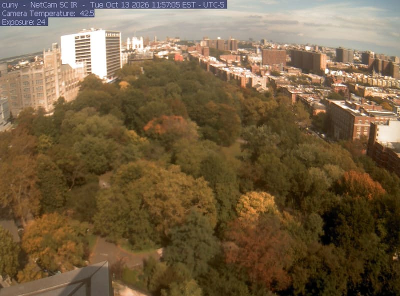
A large city park canopy fills the foreground between surrounding buildings. Green, yellow, bronze and a few orange-red crowns are individually distinguishable despite mild general softness.
· 11:57 camera time

PhenoCam Network / CUNY Advanced Science Research Center, New York City, New York
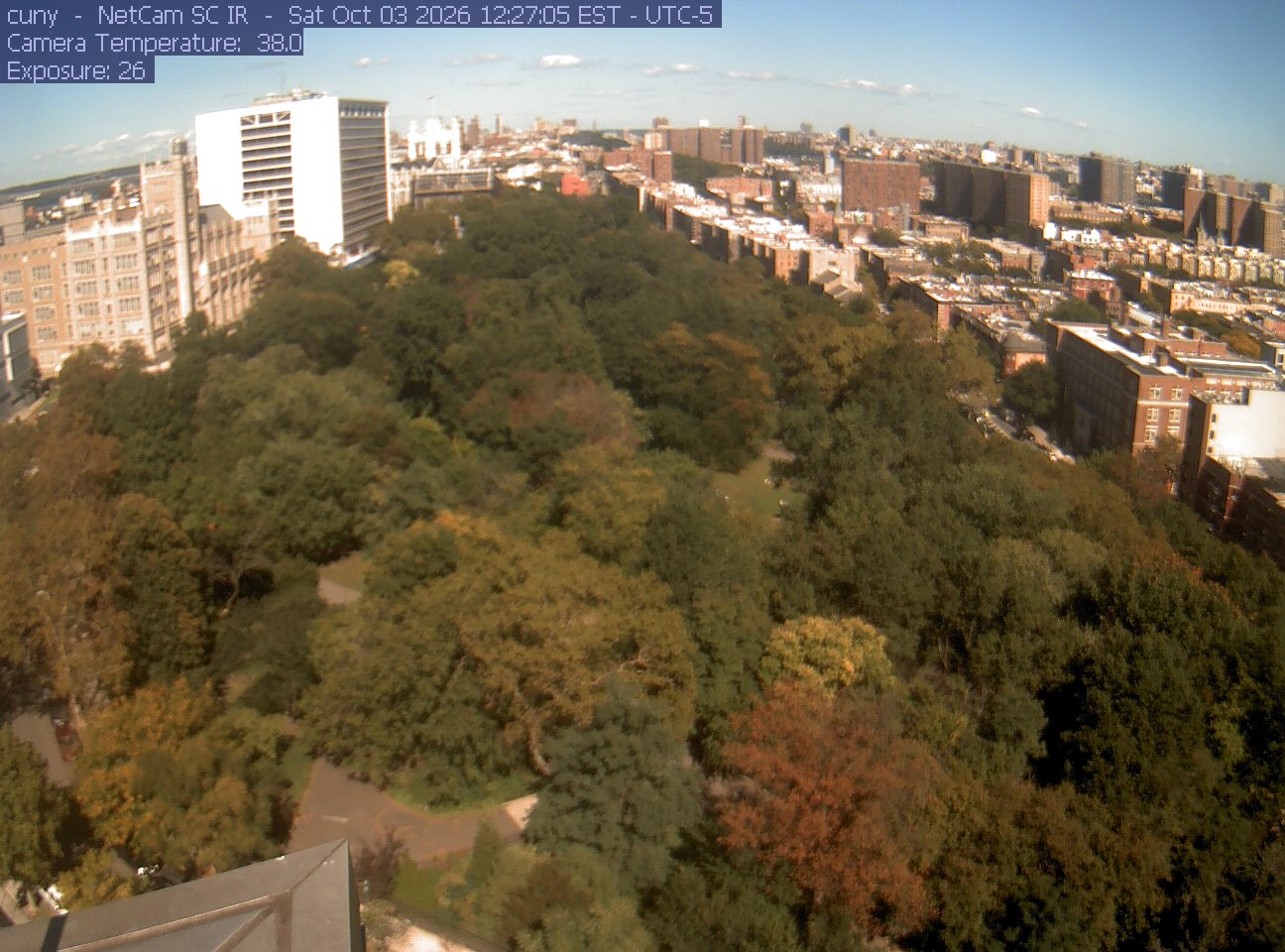
A large city park canopy fills the foreground between surrounding buildings. Green, yellow, bronze and a few orange-red crowns are individually distinguishable despite mild general softness.
· 12:27 camera time

PhenoCam Network / CUNY Advanced Science Research Center, New York City, New York

The camera’s website

Huyck Preserve lake and woodland

New York · In the daily camera check

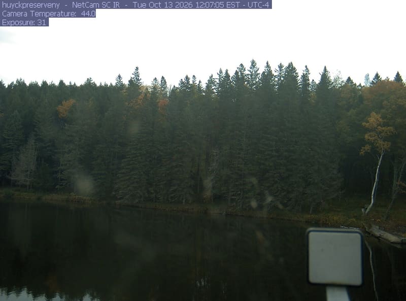
Pond below a dense wall of mostly dark evergreen-looking trees, with small yellow and orange crowns between them. Shadow hides much of the nearer foliage; glare in the upper left and a foreground instrument remain visible. Useful mixed-woodland context, with restricted color detail.
· 12:07 camera time

PhenoCam Network and contributing site operators / Huyck Preserve and Biological Research Station
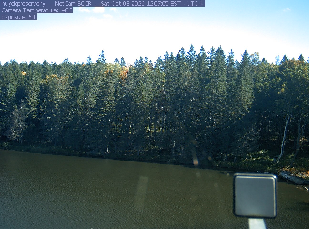
Pond below a dense wall of mostly dark evergreen-looking trees, with small yellow and orange crowns between them. Shadow hides much of the nearer foliage; glare in the upper left and a foreground instrument remain visible. Useful mixed-woodland context, with restricted color detail.

PhenoCam Network and contributing site operators / Huyck Preserve and Biological Research Station

The camera’s website

Norrie Point Hudson River shoreline

New York · In the daily camera check

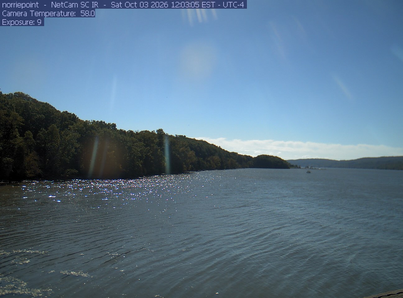
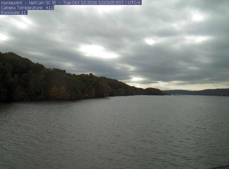
Wide river cove with a wooded shoreline to the left. Strong backlight, water glitter and vertical lens flare leave the canopy dark; the scene is attractive shoreline context but a weak guide to leaf color.
· 12:03 camera time

PhenoCam Network and contributing site operators / Hudson River National Estuarine Research Reserve / New York State DEC

Wide river cove with a wooded shoreline to the left. Strong backlight, water glitter and vertical lens flare leave the canopy dark; the scene is attractive shoreline context but a weak guide to leaf color.

PhenoCam Network and contributing site operators / Hudson River National Estuarine Research Reserve / New York State DEC

The camera’s website

Palisades woodland

New York · In the daily camera check

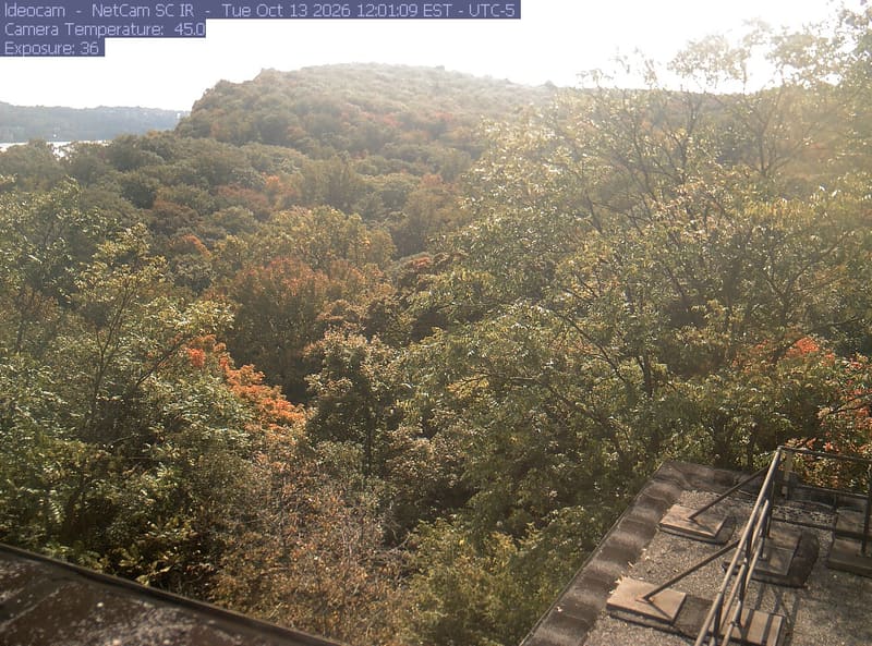
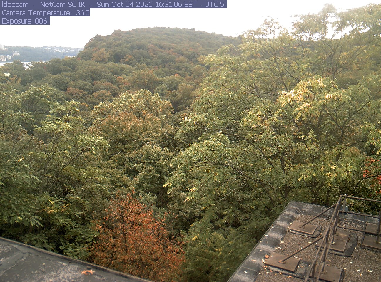
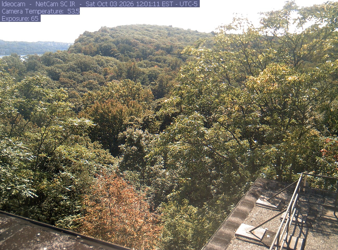
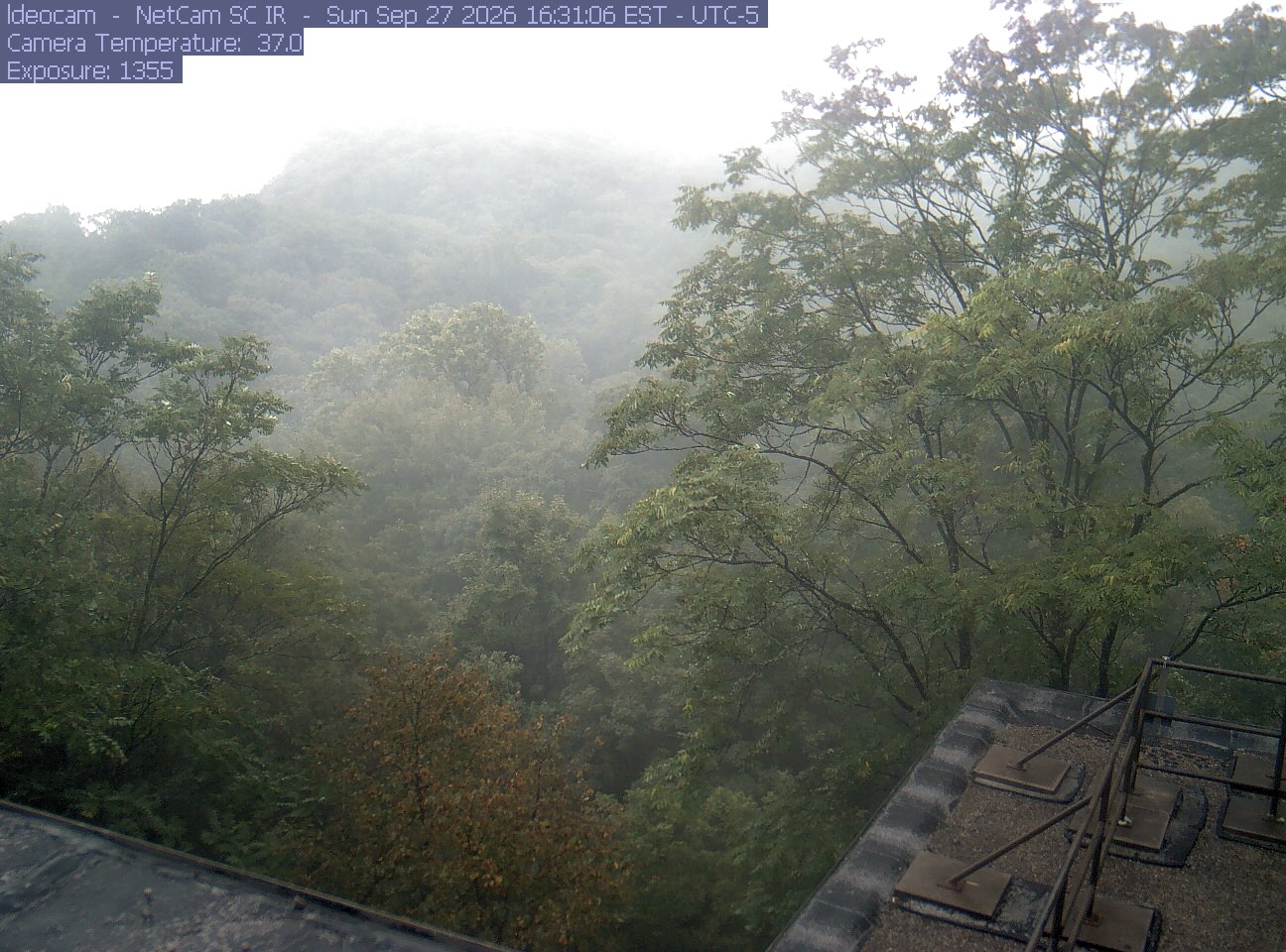
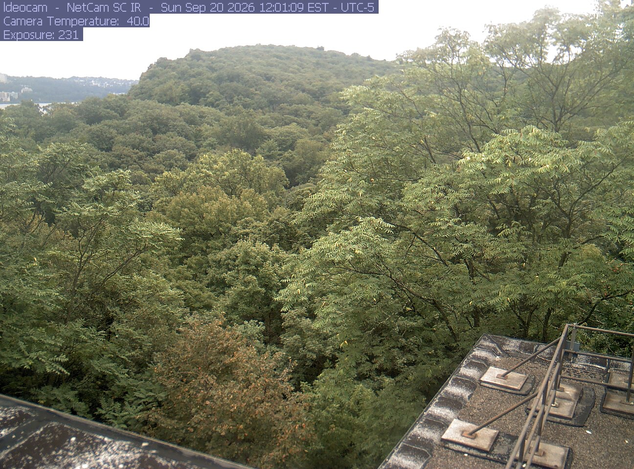
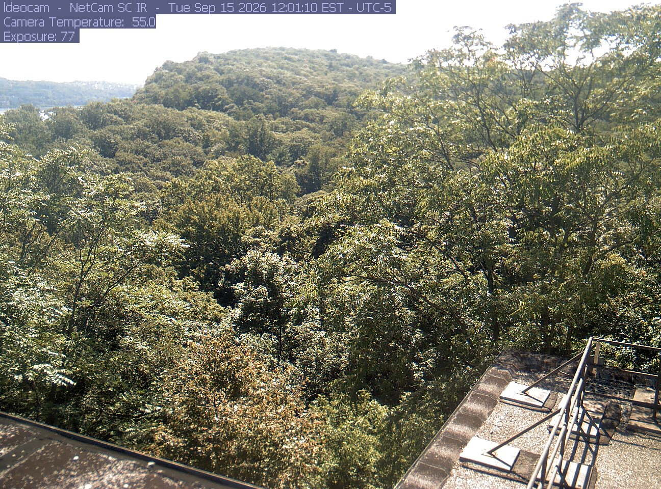
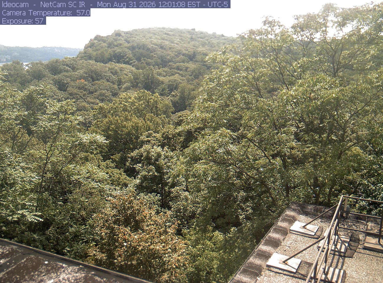
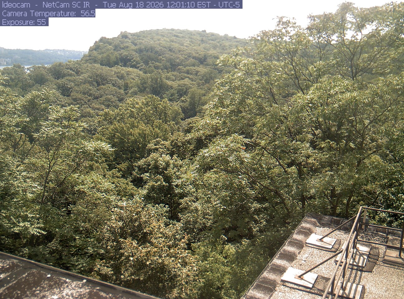
A wooded ridge rises behind close canopy at Lamont–Doherty Earth Observatory.
· 12:01 camera time

PhenoCam Network / Columbia University Lamont-Doherty Earth Observatory

A wooded ridge rises behind close canopy at Lamont–Doherty Earth Observatory.
· 16:31 camera time

PhenoCam Network / Columbia University Lamont-Doherty Earth Observatory

A wooded ridge rises behind close canopy at Lamont–Doherty Earth Observatory.
· 12:01 camera time

PhenoCam Network / Columbia University Lamont-Doherty Earth Observatory

A wooded ridge rises behind close canopy at Lamont–Doherty Earth Observatory.
· 16:31 camera time

PhenoCam Network / Columbia University Lamont-Doherty Earth Observatory

A wooded ridge rises behind close canopy at Lamont–Doherty Earth Observatory.
· 12:01 camera time

PhenoCam Network / Columbia University Lamont-Doherty Earth Observatory

A wooded ridge rises behind close canopy at Lamont–Doherty Earth Observatory.
· 12:01 camera time

PhenoCam Network / Columbia University Lamont-Doherty Earth Observatory

A wooded ridge rises behind close canopy at Lamont–Doherty Earth Observatory.
· 12:01 camera time

PhenoCam Network / Columbia University Lamont-Doherty Earth Observatory

A wooded ridge rises behind close canopy at Lamont–Doherty Earth Observatory.
· 12:01 camera time

PhenoCam Network / Columbia University Lamont-Doherty Earth Observatory

A wooded ridge rises behind close canopy at Lamont–Doherty Earth Observatory.
· 12:01 camera time

PhenoCam Network / Columbia University Lamont-Doherty Earth Observatory

The camera’s website

Open the place’s page

Park School of Buffalo woodland

New York · In the daily camera check

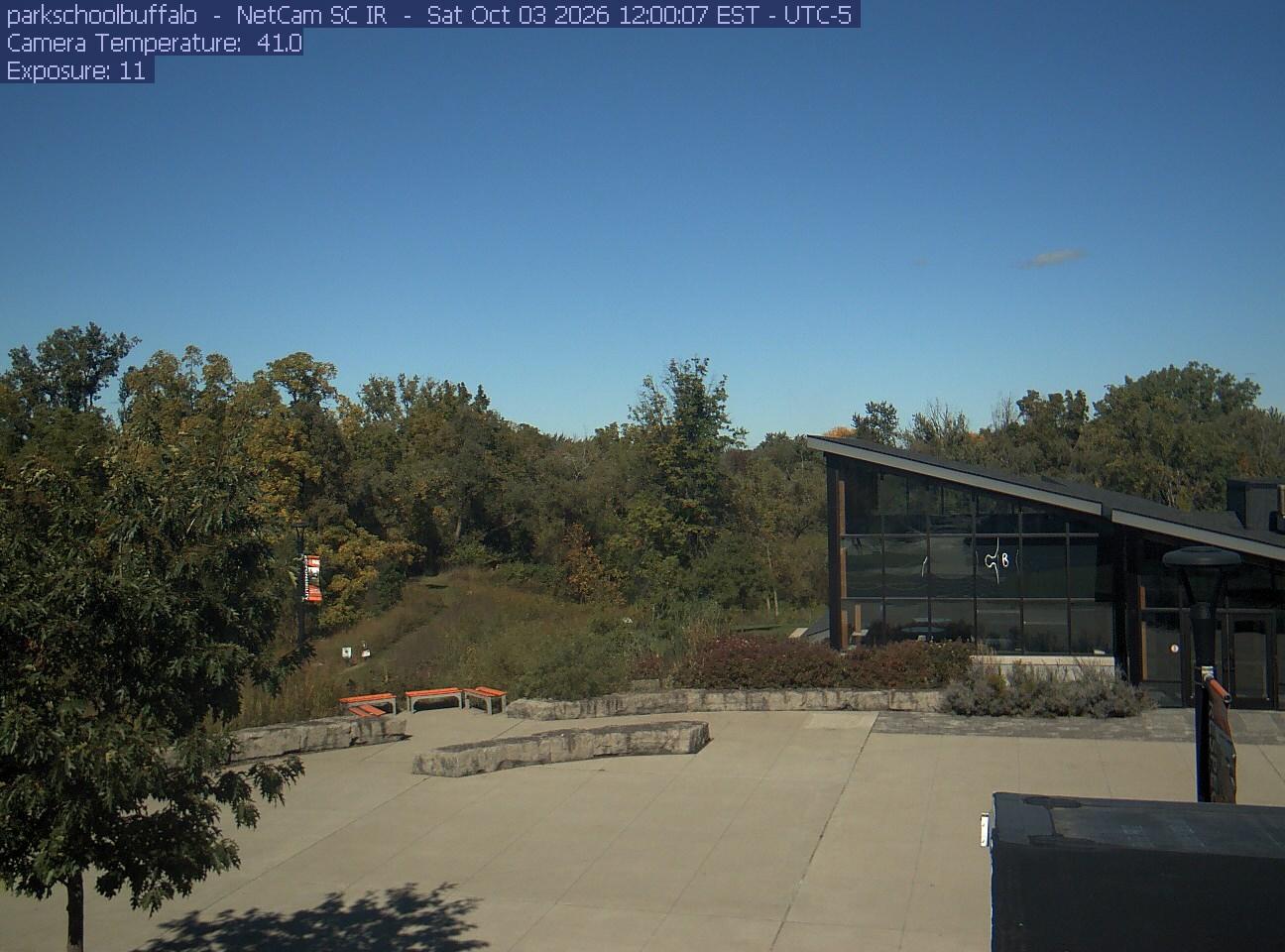
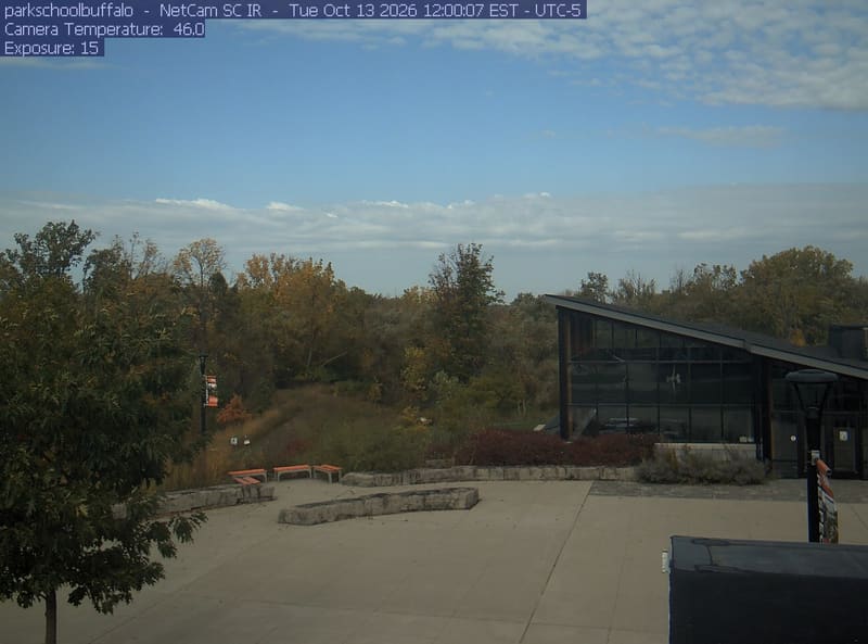
Green, yellow and bronze tree crowns around a campus courtyard, with a low building at right. Ordinary foreground shadows; no lens obstruction. Useful local urban woodland context, not an overview of western New York.
· 12:00 camera time

PhenoCam Network and contributing site operators / Park School of Buffalo

Green, yellow and bronze tree crowns around a campus courtyard, with a low building at right. Ordinary foreground shadows; no lens obstruction. Useful local urban woodland context, not an overview of western New York.
· 12:00 camera time

PhenoCam Network and contributing site operators / Park School of Buffalo

The camera’s website

Bear River woodland

Nova Scotia · In the daily camera check

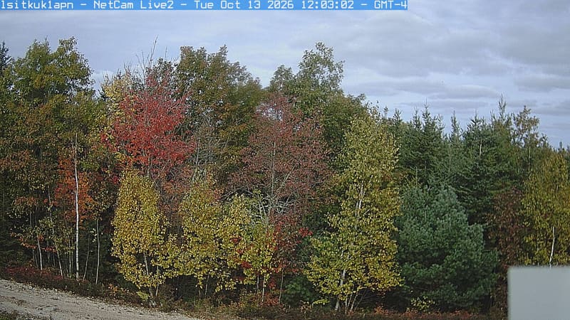
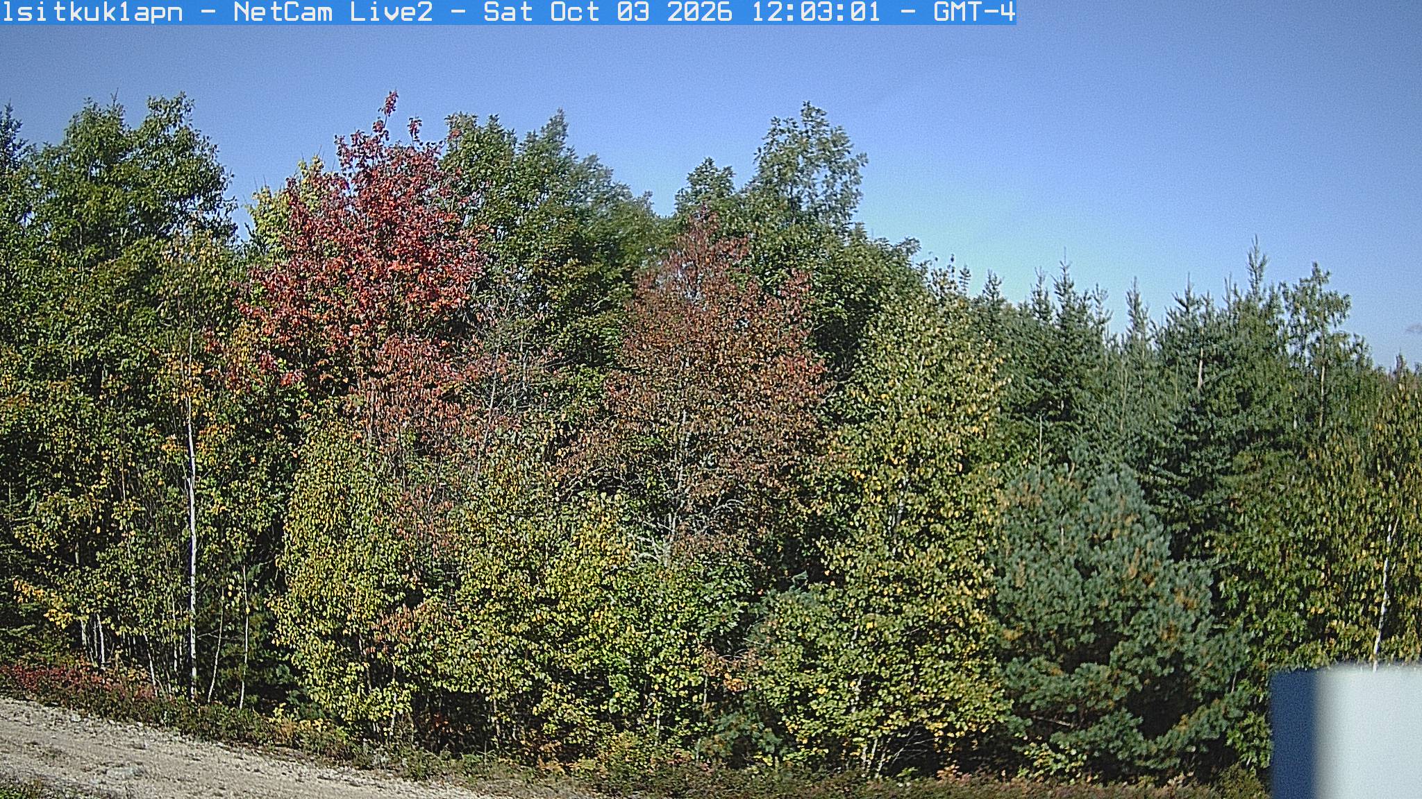
A sunlit woodland edge has green, yellow and reddish crowns beside a blue-green conifer. Leaves remain easy to distinguish; a small equipment corner and gravel edge sit below the main canopy.
· 12:03 camera time

PhenoCam Network / Acadian Phenocam Network Site DIG1, Bear River, Nova Scotia

A sunlit woodland edge has green, yellow and reddish crowns beside a blue-green conifer. Leaves remain easy to distinguish; a small equipment corner and gravel edge sit below the main canopy.
· 12:03 camera time

PhenoCam Network / Acadian Phenocam Network Site DIG1, Bear River, Nova Scotia

The camera’s website

Economy woodland

Nova Scotia · In the daily camera check

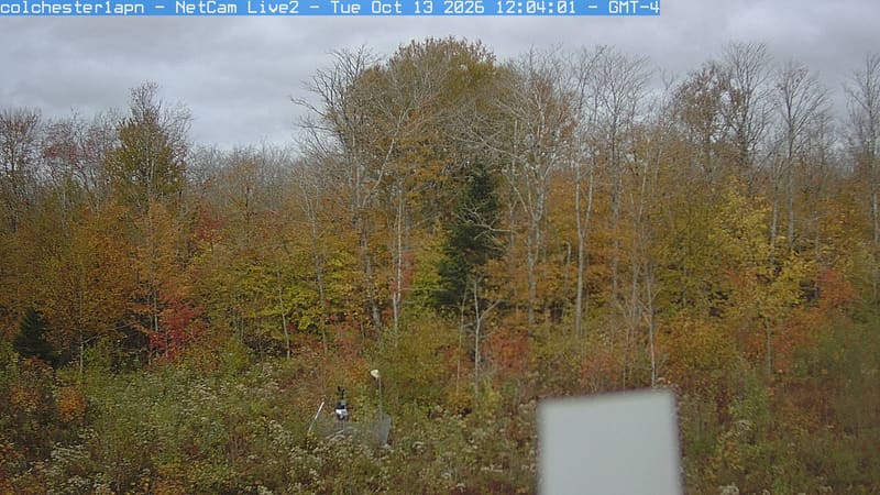
A close mixed woodland wall shows yellow-green and bronze leaves, bare upper branches and darker evergreen crowns. Foliage is broadly clear; a white piece of equipment obscures a small lower part.
· 12:04 camera time

PhenoCam Network / Acadian Phenocam Network Site COL1, Economy, Nova Scotia

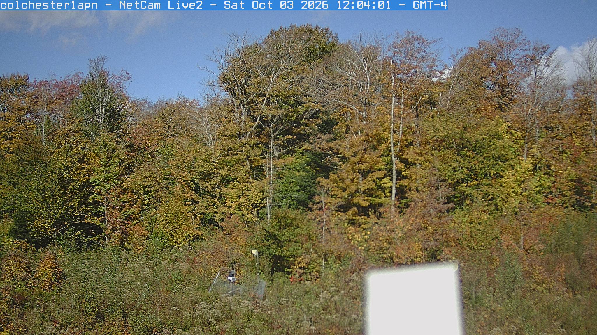
A close mixed woodland wall shows yellow-green and bronze leaves, bare upper branches and darker evergreen crowns. Foliage is broadly clear; a white piece of equipment obscures a small lower part.
· 12:04 camera time

PhenoCam Network / Acadian Phenocam Network Site COL1, Economy, Nova Scotia

The camera’s website

Nova Scotia woodland — STM1

Nova Scotia · In the daily camera check

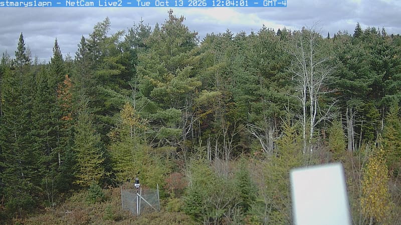
A mixed woodland edge shows mostly dark evergreen crowns with yellowing low branches and sparse reddish leaves. The nearer foliage is clear; an instrument box occupies part of the lower right.
· 12:04 camera time

PhenoCam Network / Acadian Phenocam Network Site STM1, Nova Scotia

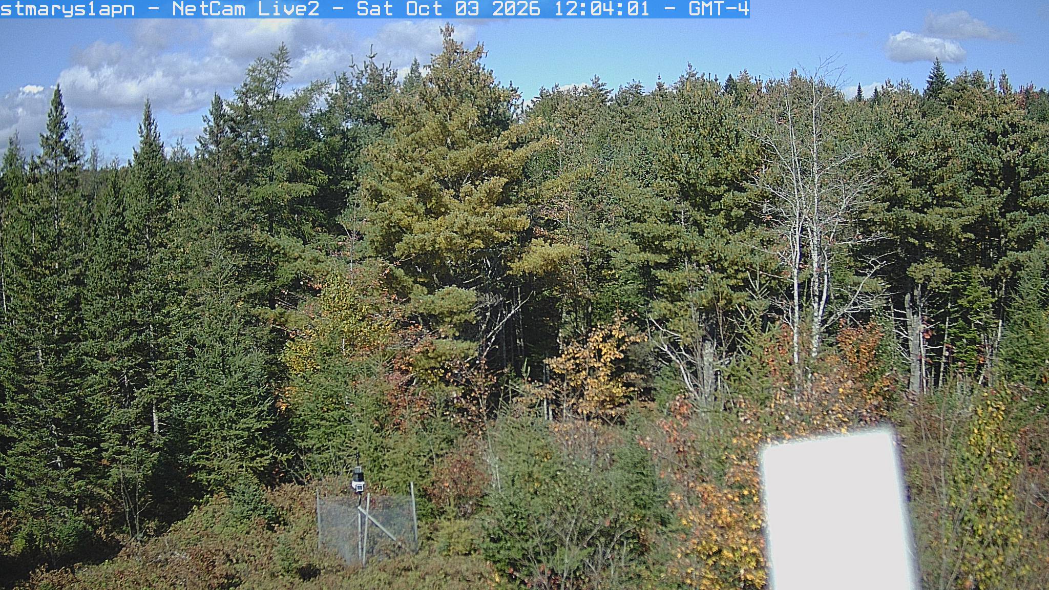
A mixed woodland edge shows mostly dark evergreen crowns with yellowing low branches and sparse reddish leaves. The nearer foliage is clear; an instrument box occupies part of the lower right.
· 12:04 camera time

PhenoCam Network / Acadian Phenocam Network Site STM1, Nova Scotia

The camera’s website

Victoria County woodland

Nova Scotia · In the daily camera check

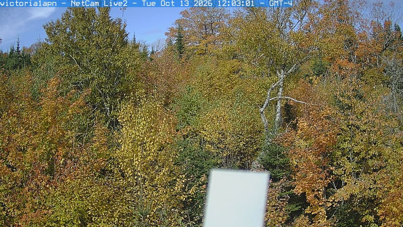
Close woodland crowns show abundant green leaves and a distinct yellow-orange tree at the right. Branch texture is readable across most of the frame, with a bright instrument box covering part of the lower center.
· 12:03 camera time

PhenoCam Network / Acadian Phenocam Network Site VIC1 Victoria County, Nova Scotia

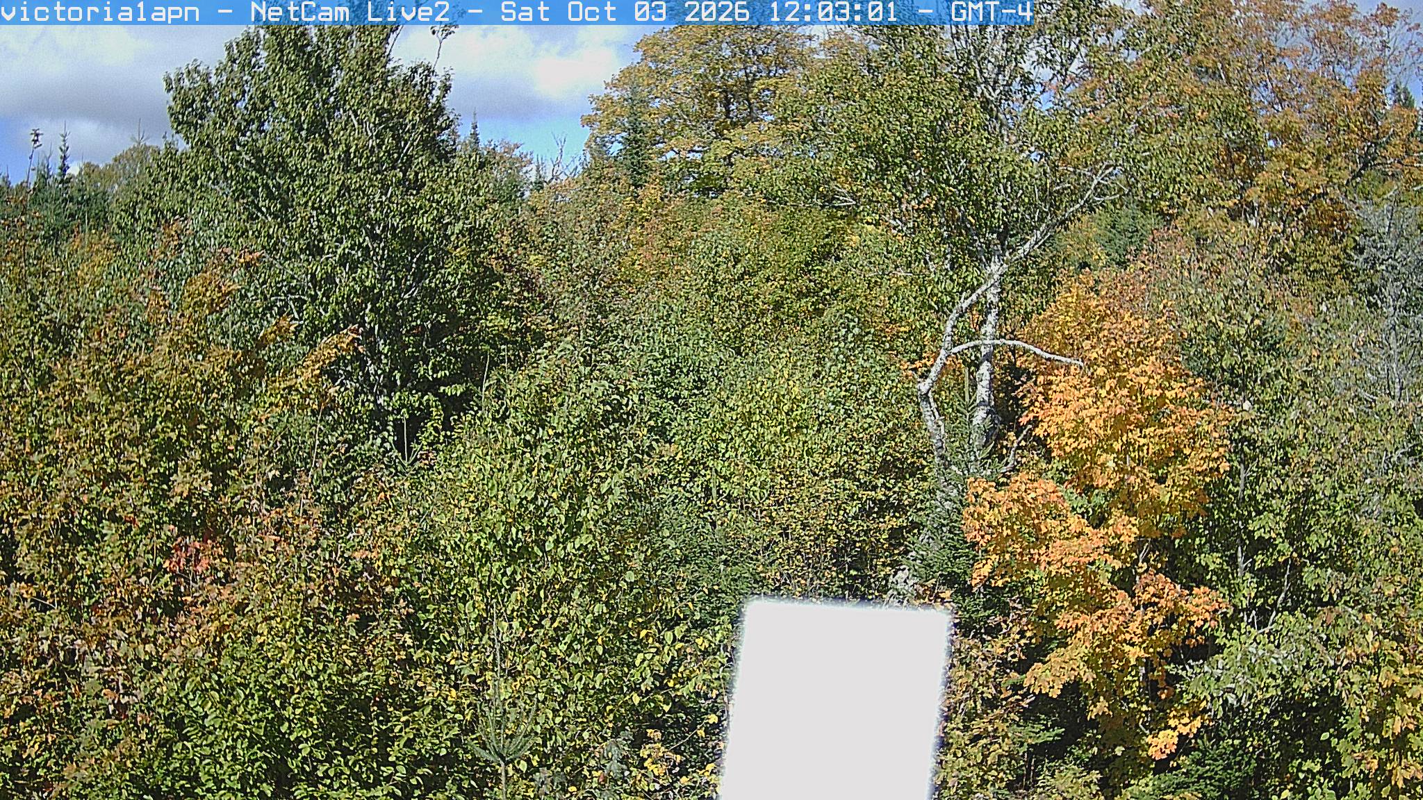
Close woodland crowns show abundant green leaves and a distinct yellow-orange tree at the right. Branch texture is readable across most of the frame, with a bright instrument box covering part of the lower center.
· 12:03 camera time

PhenoCam Network / Acadian Phenocam Network Site VIC1 Victoria County, Nova Scotia

The camera’s website

Lake Opinicon

Ontario · In the daily camera check

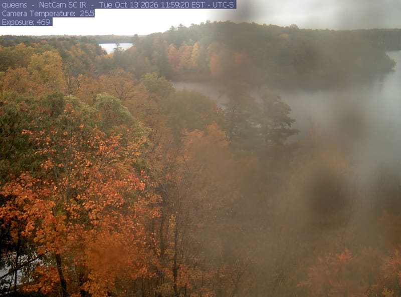
Orange and yellow broadleaf crowns fill the clear left side above a wooded lakeshore, while a broad smear obscures much of the centre and right.
· 11:59 camera time

PhenoCam Network / Queen's University Biological Station

The camera’s website

Turkey Point deciduous forest

Ontario · In the daily camera check

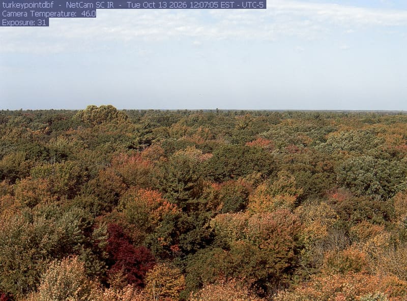
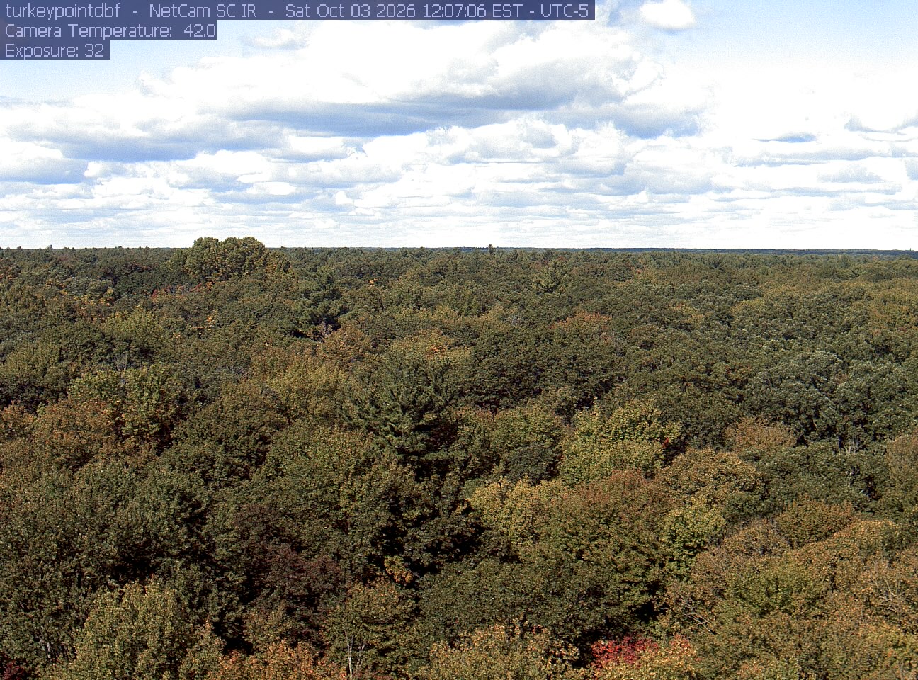
An extensive, clear woodland canopy runs to a low horizon beneath clouds. Most crowns remain green, with scattered yellow and rust-red patches, especially near the bottom edge.
· 12:07 camera time

PhenoCam Network / Mature Deciduous Site, Turkey Point Carbon Cycle Research Project, Ontario, Canada

An extensive, clear woodland canopy runs to a low horizon beneath clouds. Most crowns remain green, with scattered yellow and rust-red patches, especially near the bottom edge.
· 12:07 camera time

PhenoCam Network / Mature Deciduous Site, Turkey Point Carbon Cycle Research Project, Ontario, Canada

The camera’s website

Ambler woodland

Pennsylvania · In the daily camera check

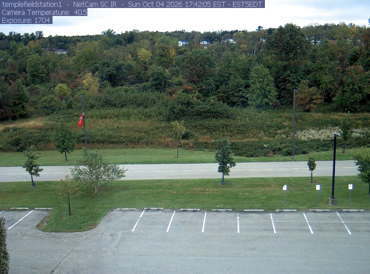
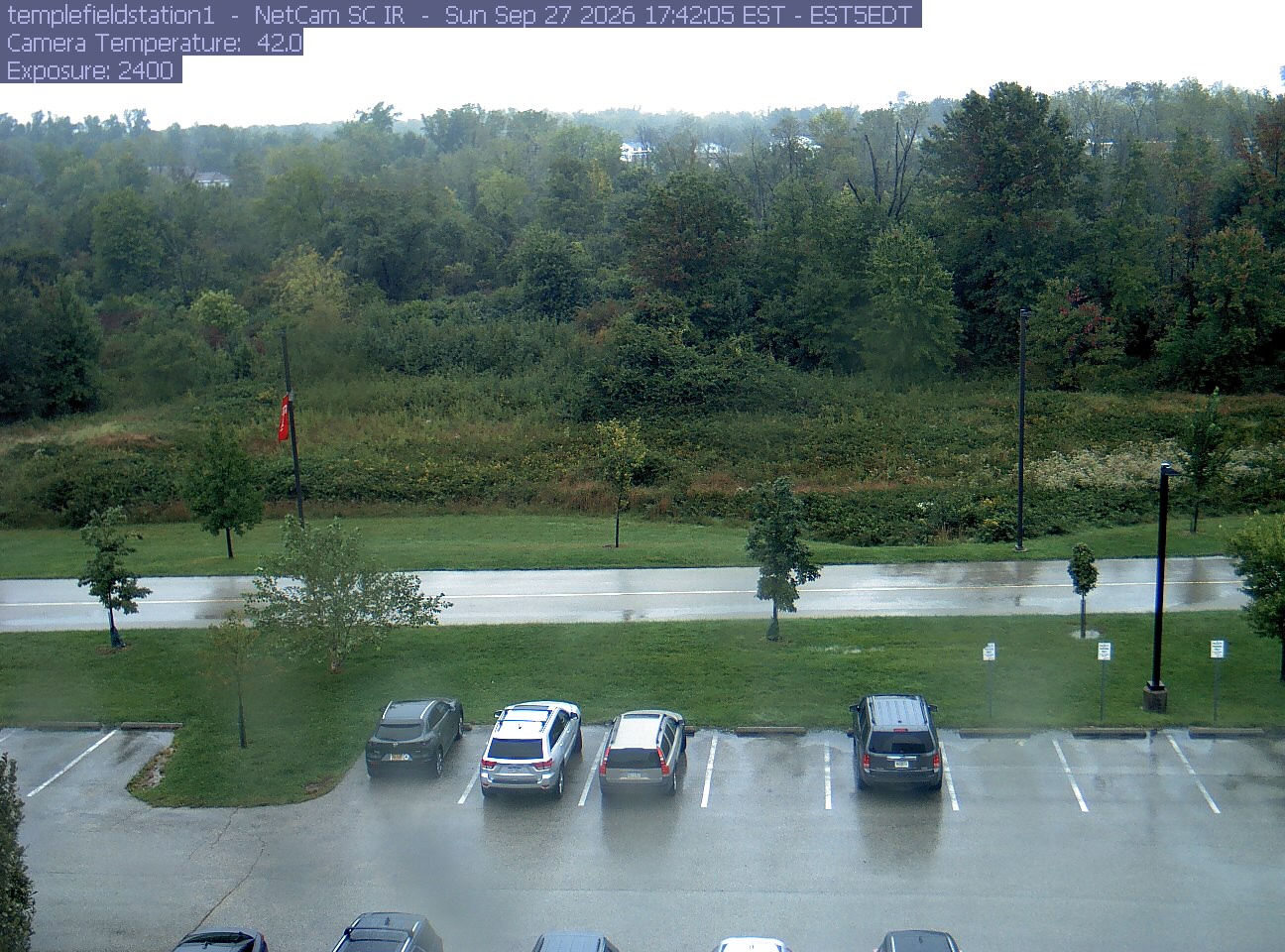
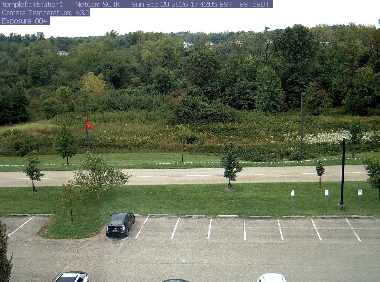
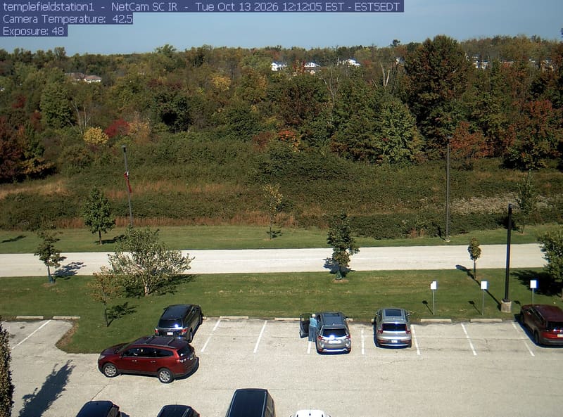
Woodland and meadow rise above the road and parking area at Temple’s Ambler Field Station.
· 12:12 camera time

PhenoCam Network / Temple Ambler Field Station

Woodland and meadow rise above the road and parking area at Temple’s Ambler Field Station.
· 17:42 camera time (time unverified)

PhenoCam Network / Temple Ambler Field Station

Woodland and meadow rise above the road and parking area at Temple’s Ambler Field Station.
· 17:42 camera time (time unverified)

PhenoCam Network / Temple Ambler Field Station

Woodland and meadow rise above the road and parking area at Temple’s Ambler Field Station.
· 17:42 camera time (time unverified)

PhenoCam Network / Temple Ambler Field Station

The camera’s website

Open the place’s page

Shale Hills forest canopy

Pennsylvania · In the daily camera check

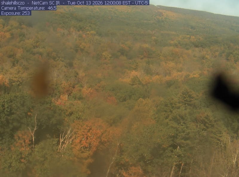
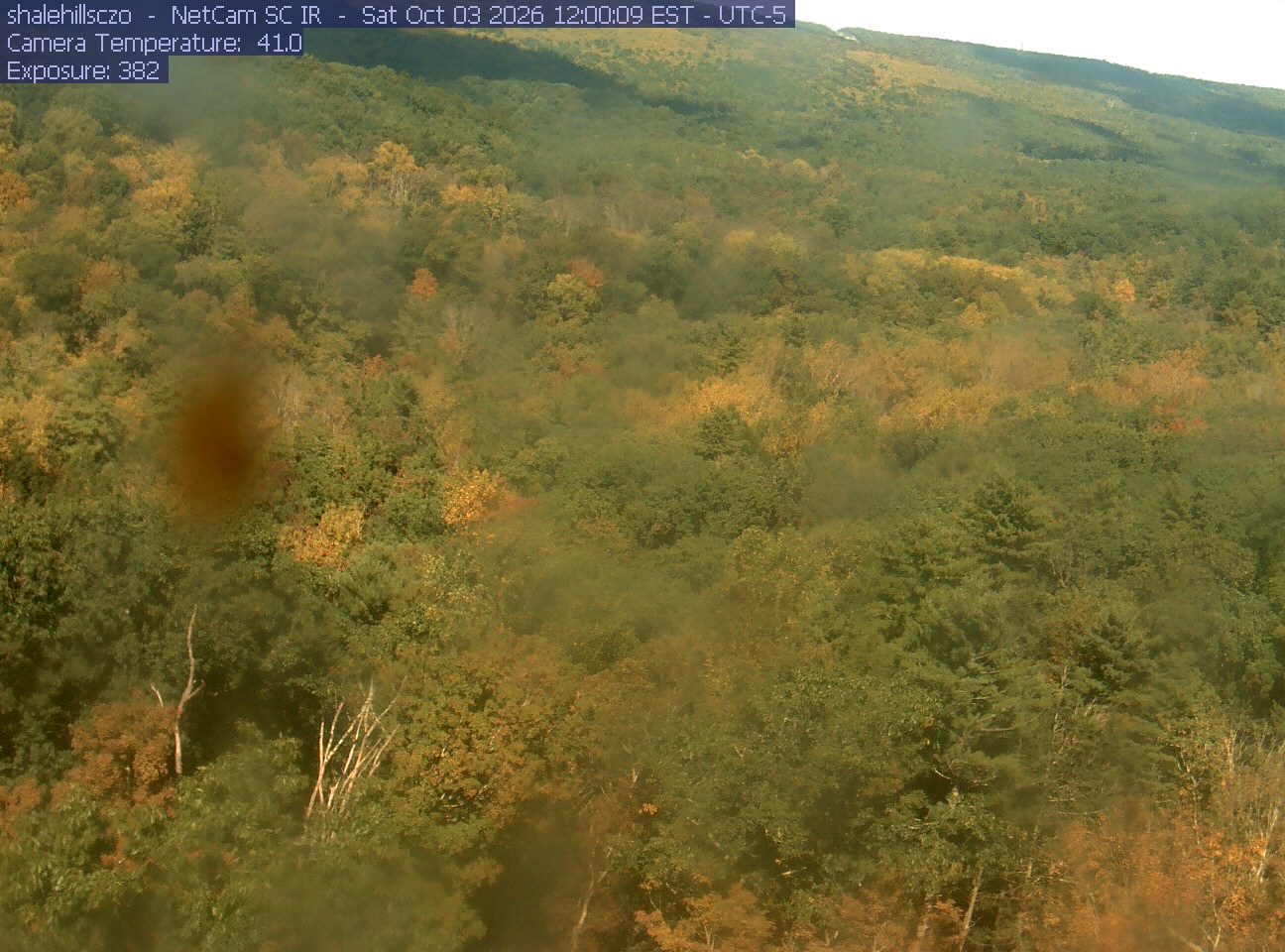
Broad wooded hillside with green, yellow and orange crowns. Multiple large soft dark and translucent lens marks blur substantial areas. Readable overall woodland change, with poor fine color detail.
· 12:00 camera time

PhenoCam Network and contributing site operators / Penn State / Susquehanna Shale Hills Critical Zone Observatory

Broad wooded hillside with green, yellow and orange crowns. Multiple large soft dark and translucent lens marks blur substantial areas. Readable overall woodland change, with poor fine color detail.
· 12:00 camera time

PhenoCam Network and contributing site operators / Penn State / Susquehanna Shale Hills Critical Zone Observatory

The camera’s website

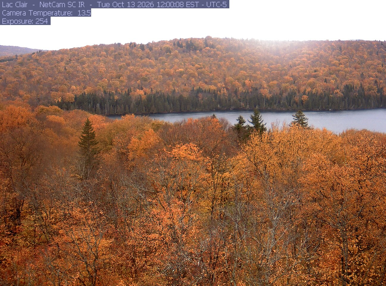
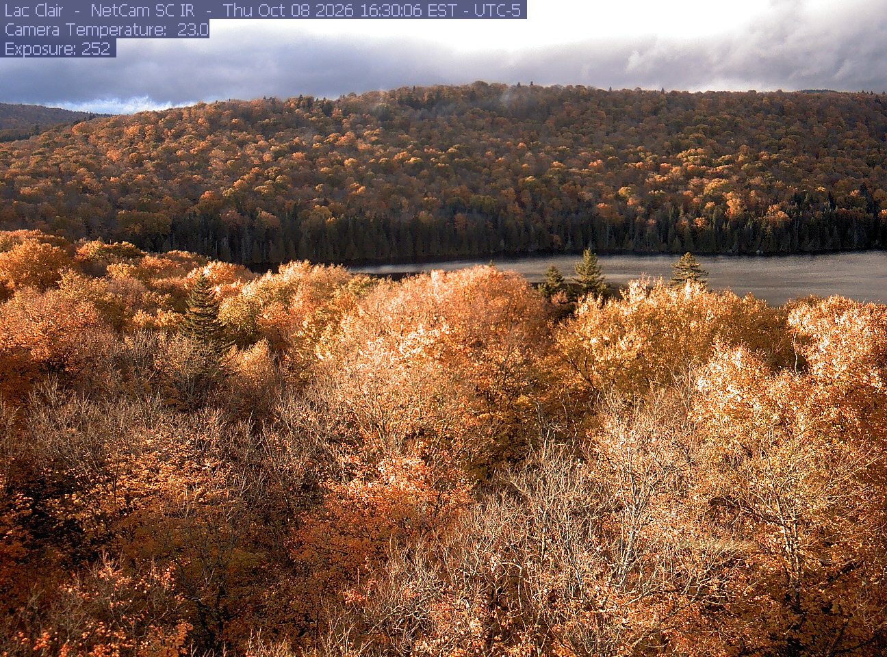
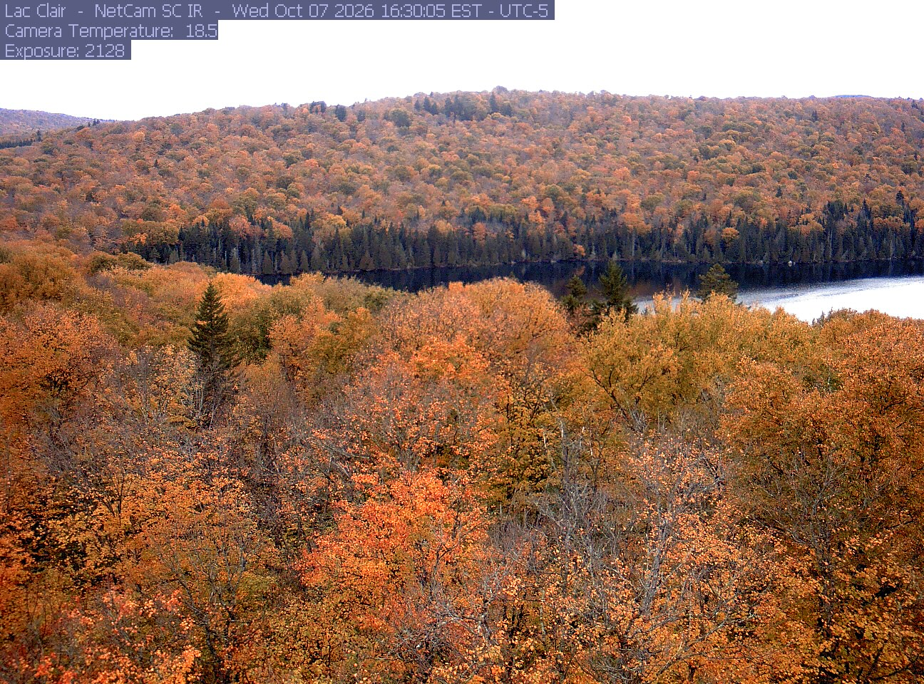
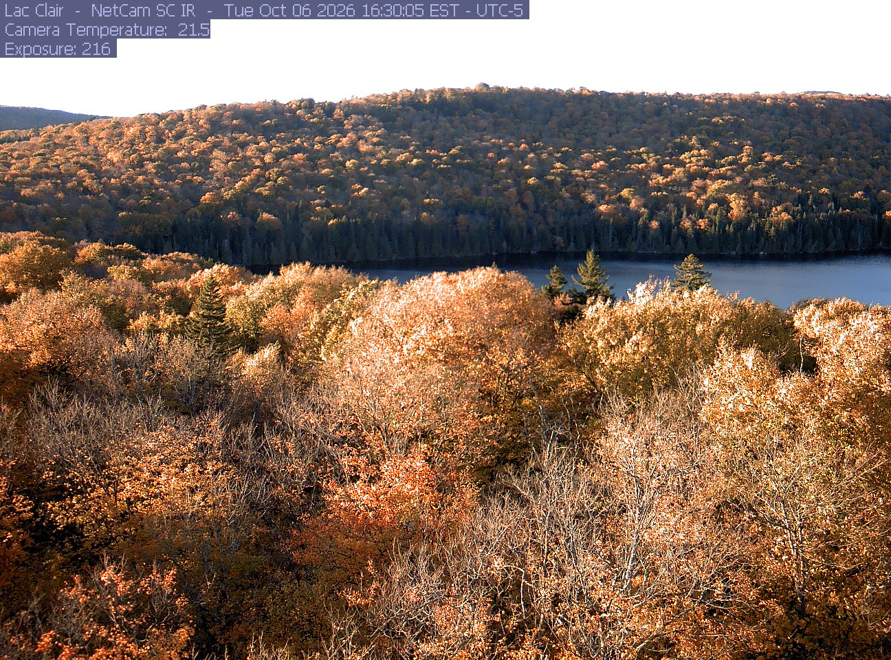
Lac Clair

Québec · In the daily camera check

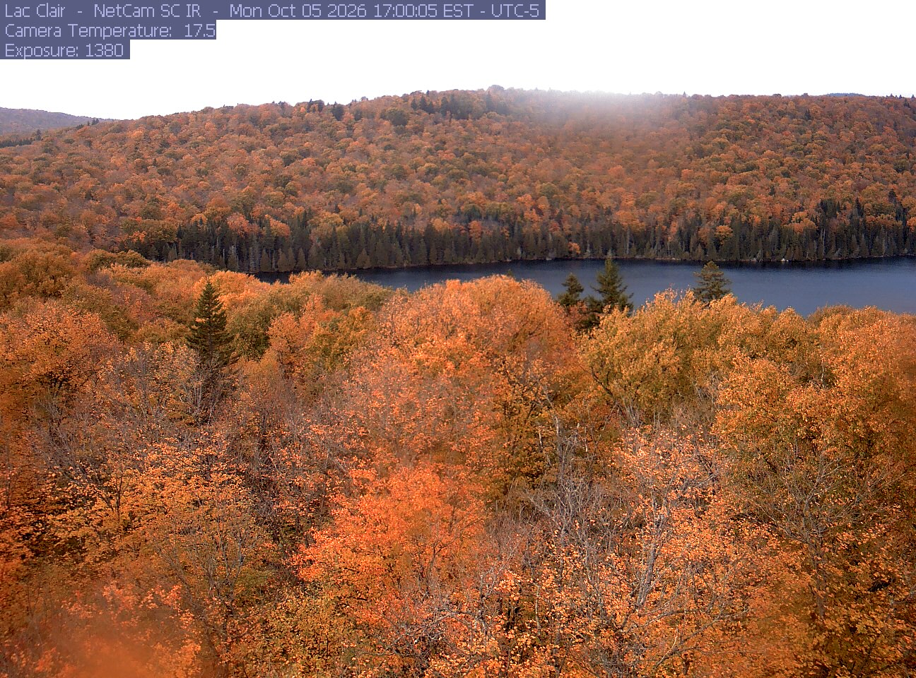
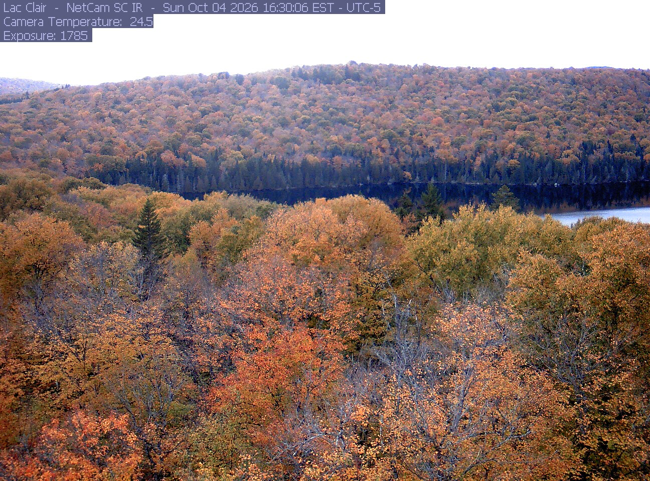
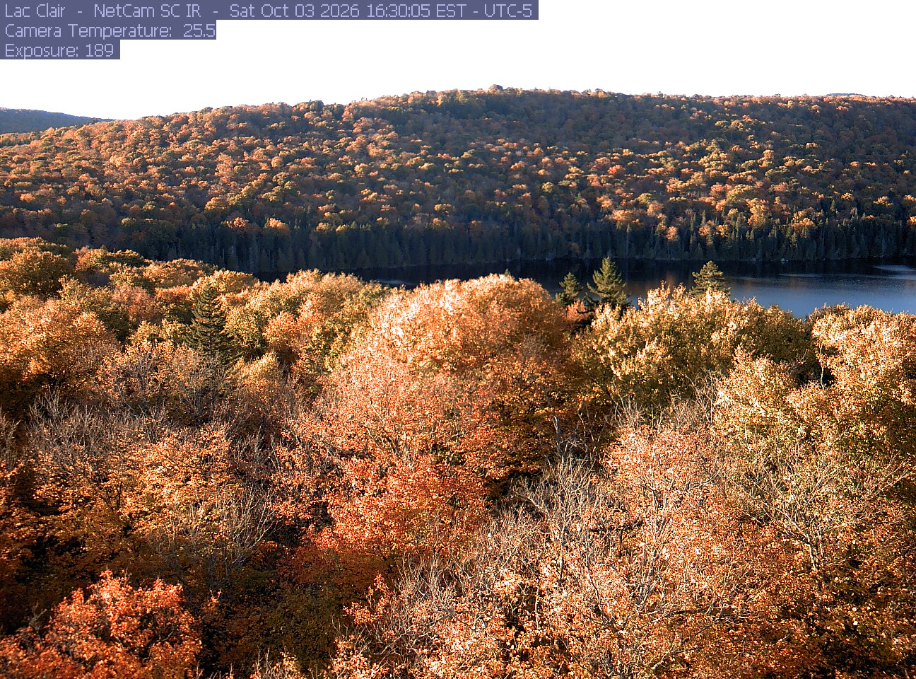
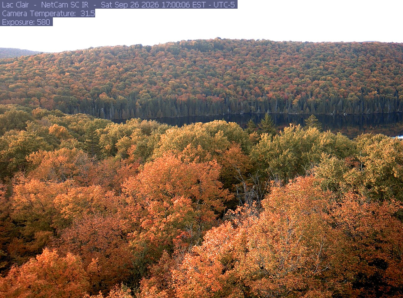
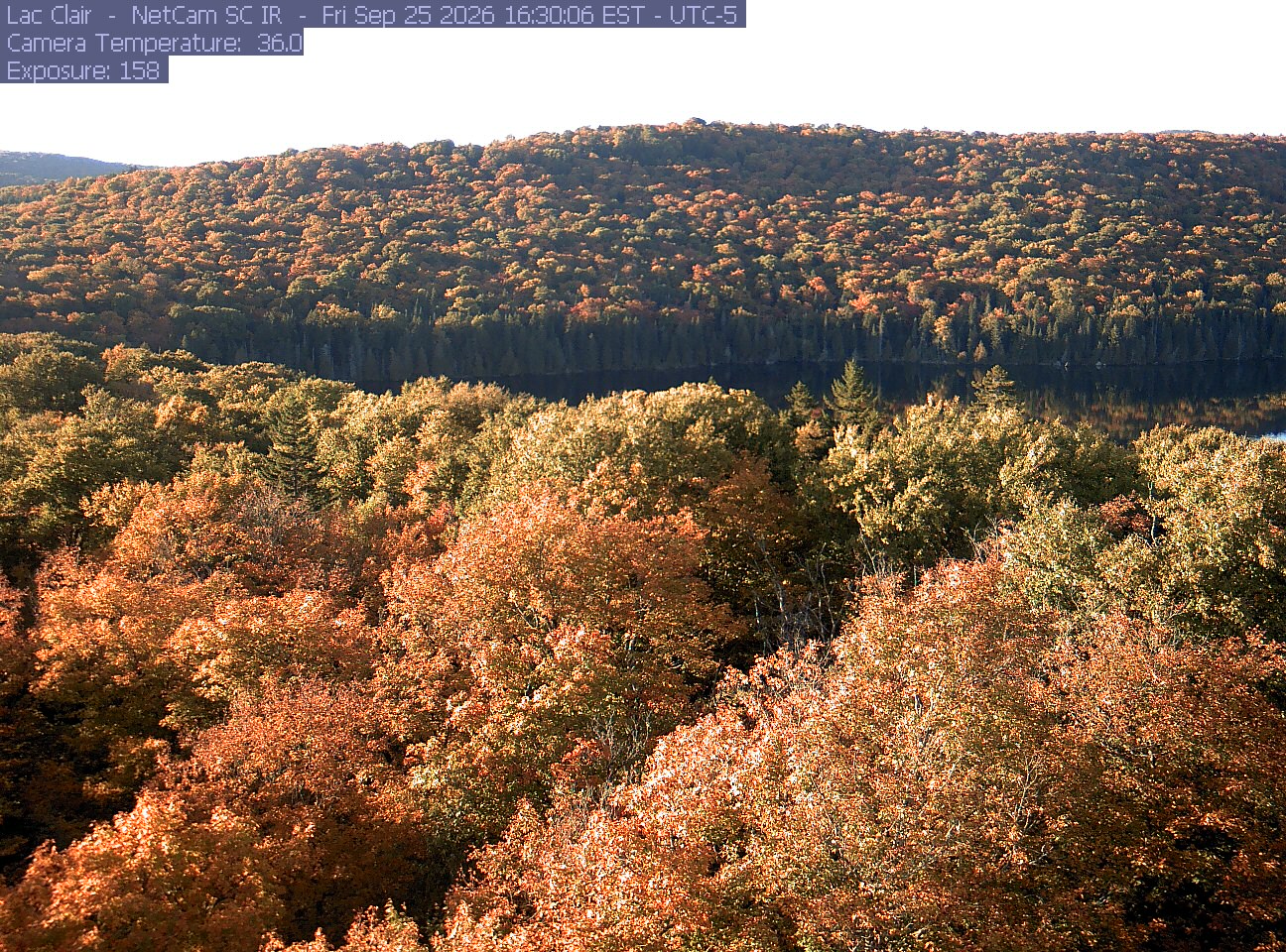
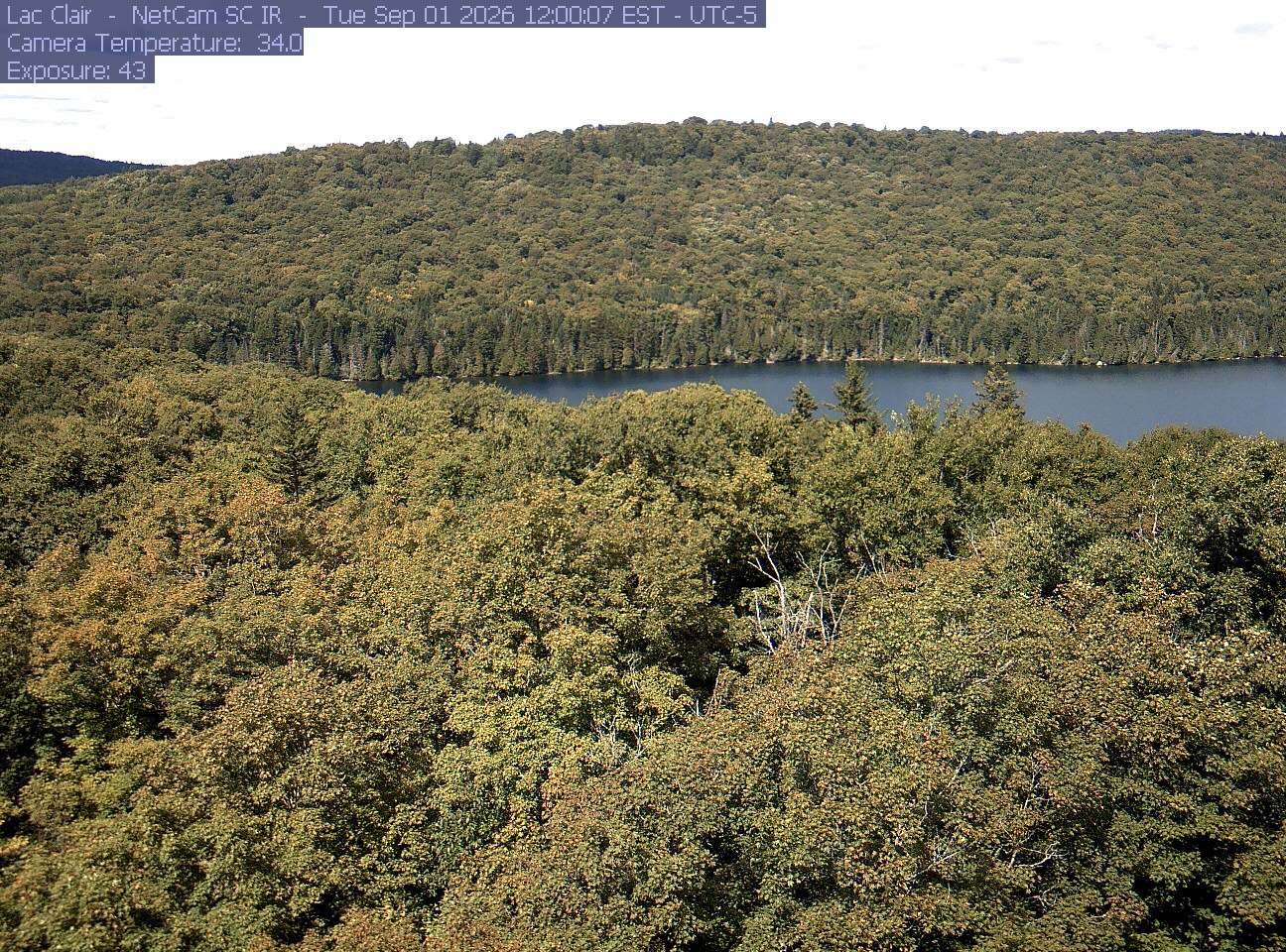
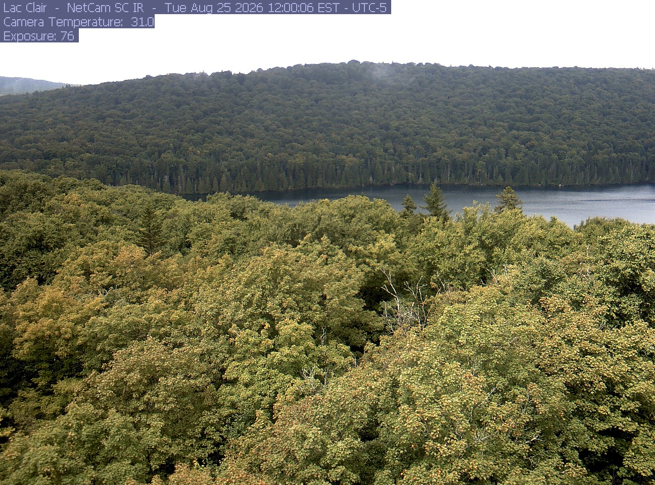
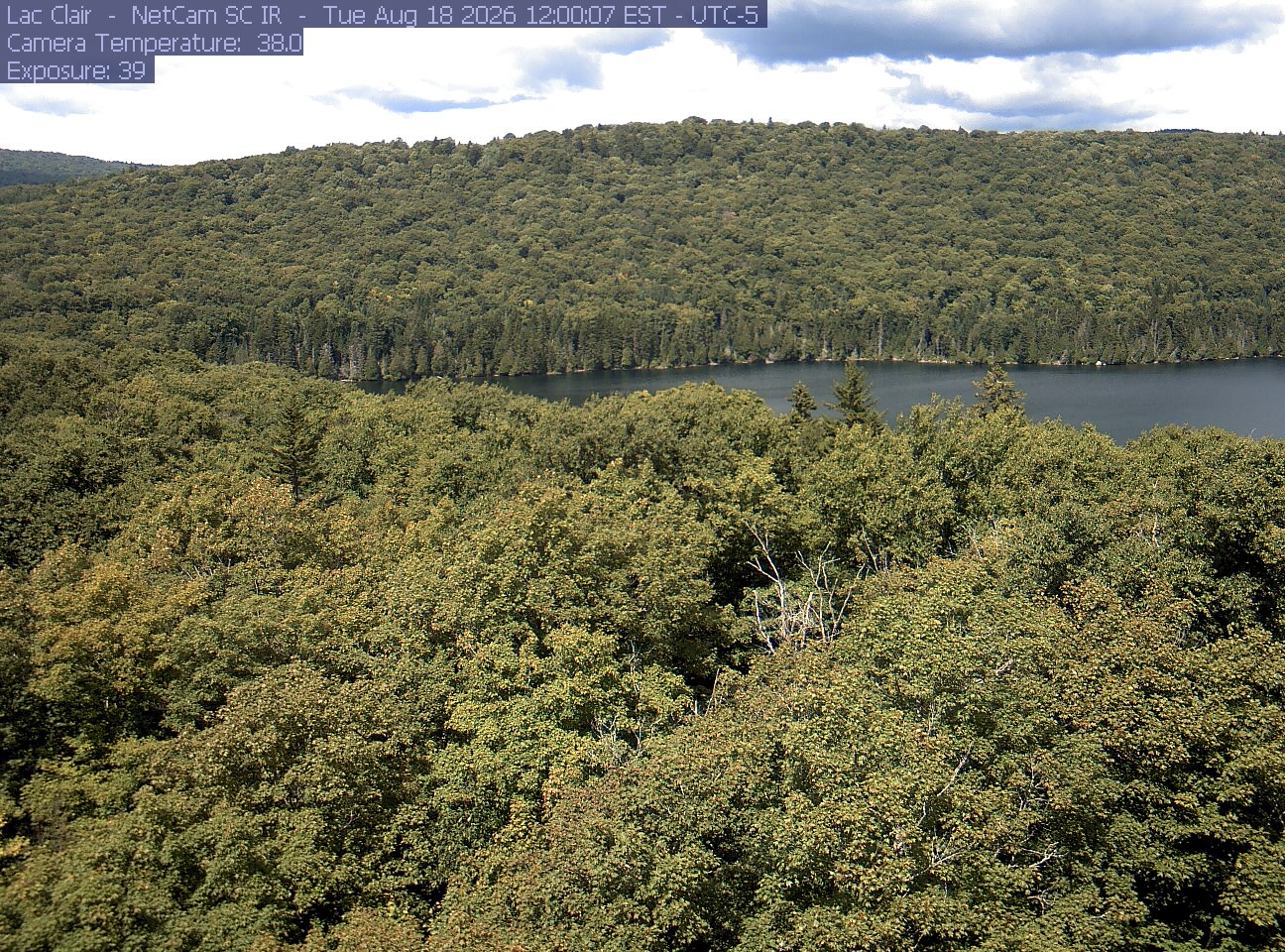
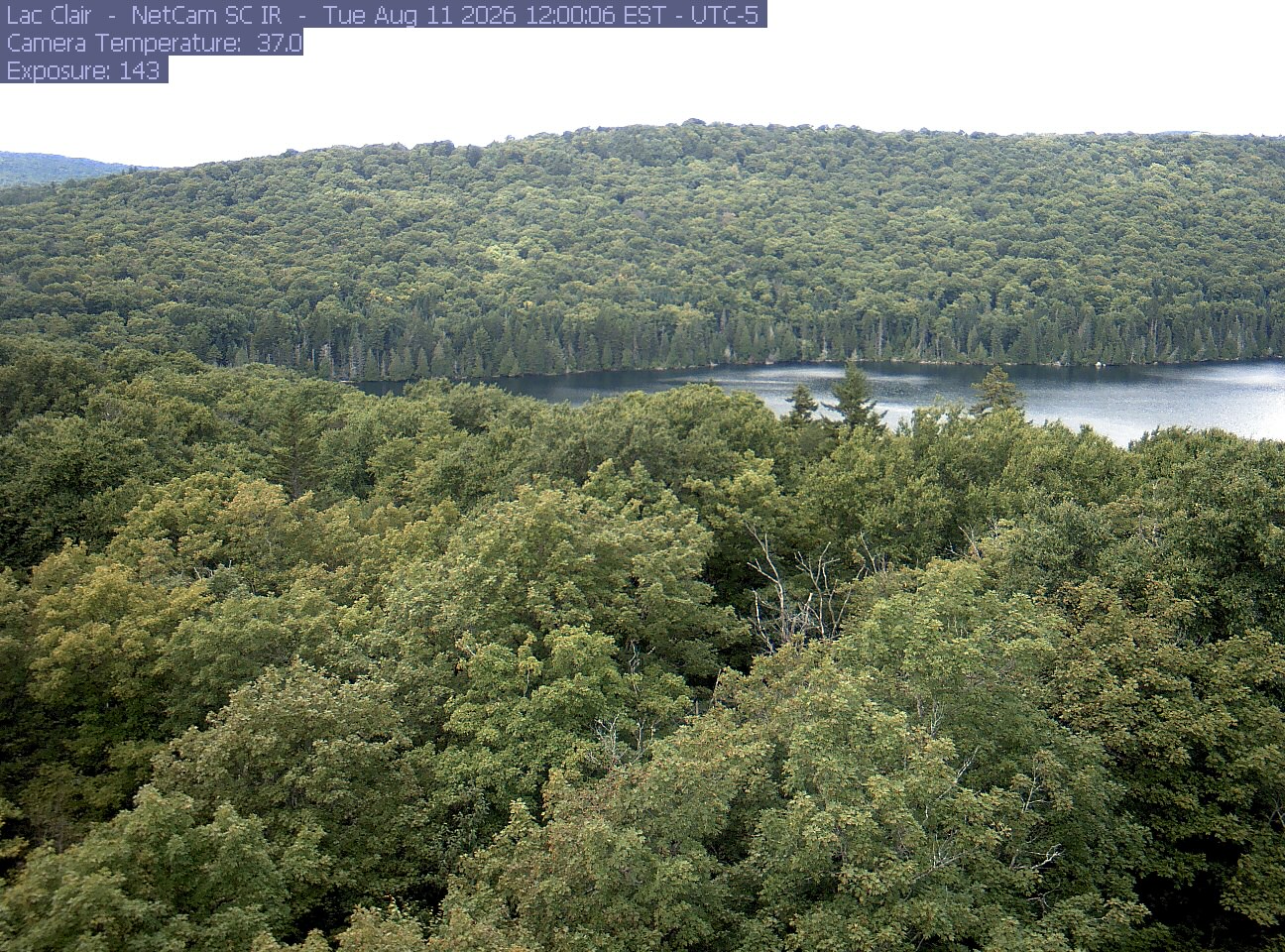
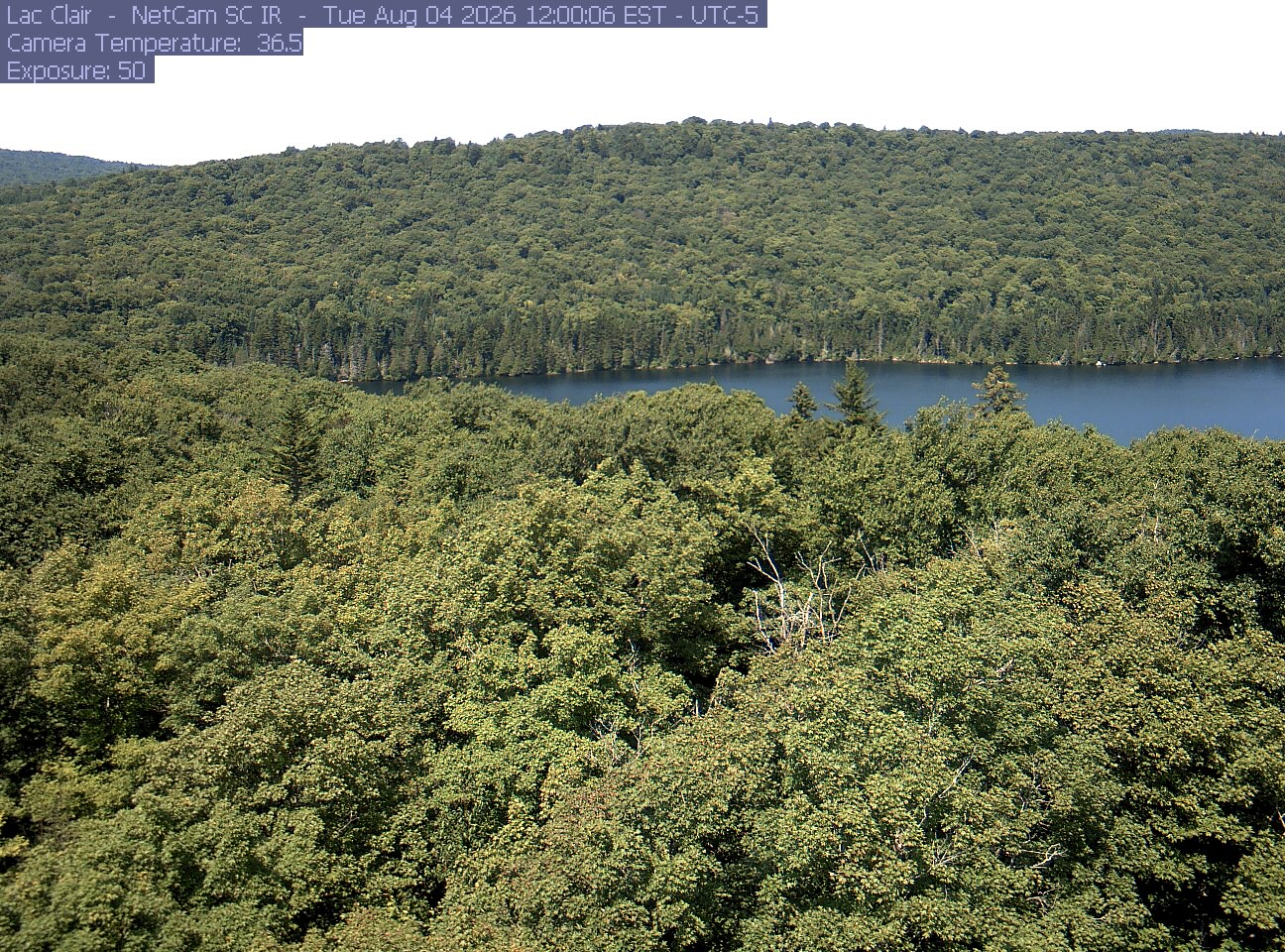
A wooded hillside and close canopy frame the water at Lac Clair.
· 12:00 camera time

PhenoCam Network / Lac Clair, Québec

A wooded hillside and close canopy frame the water at Lac Clair.
· 16:30 camera time

PhenoCam Network / Lac Clair, Québec

A wooded hillside and close canopy frame the water at Lac Clair.
· 16:30 camera time

PhenoCam Network / Lac Clair, Québec

A wooded hillside and close canopy frame the water at Lac Clair.
· 16:30 camera time

PhenoCam Network / Lac Clair, Québec

A wooded hillside and close canopy frame the water at Lac Clair.
· 17:00 camera time

PhenoCam Network / Lac Clair, Québec

A wooded hillside and close canopy frame the water at Lac Clair.
· 16:30 camera time

PhenoCam Network / Lac Clair, Québec

A wooded hillside and close canopy frame the water at Lac Clair.
· 16:30 camera time

PhenoCam Network / Lac Clair, Québec

A wooded hillside and close canopy frame the water at Lac Clair.
· 17:00 camera time

PhenoCam Network / Lac Clair, Québec

A wooded hillside and close canopy frame the water at Lac Clair.
· 16:30 camera time

PhenoCam Network / Lac Clair, Québec

A wooded hillside and close canopy frame the water at Lac Clair.
· 12:00 camera time

PhenoCam Network / Lac Clair, Québec

A wooded hillside and close canopy frame the water at Lac Clair.
· 12:00 camera time

PhenoCam Network / Lac Clair, Québec

A wooded hillside and close canopy frame the water at Lac Clair.
· 12:00 camera time

PhenoCam Network / Lac Clair, Québec

A wooded hillside and close canopy frame the water at Lac Clair.
· 12:00 camera time

PhenoCam Network / Lac Clair, Québec

A wooded hillside and close canopy frame the water at Lac Clair.
· 12:00 camera time

PhenoCam Network / Lac Clair, Québec

The camera’s website

Open the place’s page

Lac-à-la-Tortue forested bog

Québec · In the daily camera check

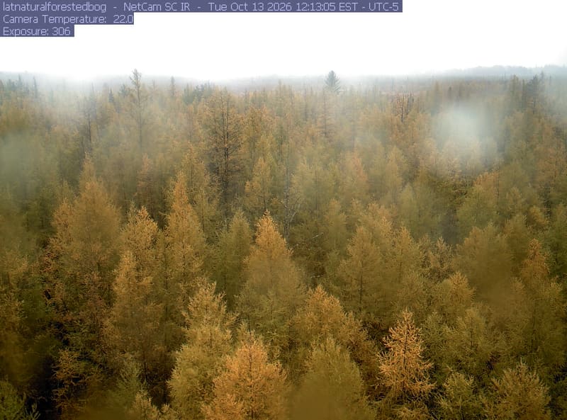
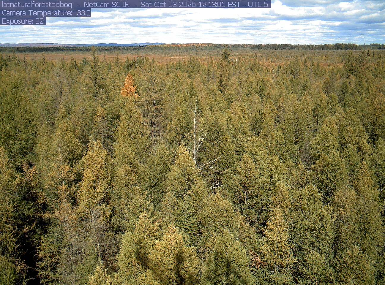
A broad forested bog stretches beneath textured clouds. Needle-shaped crowns are mostly green and olive, with yellowing trees and one vivid orange patch; distant woodland is visible across the horizon.
· 12:13 camera time

PhenoCam Network / Lac-à-la-Tortue Natural Forested Bog

A broad forested bog stretches beneath textured clouds. Needle-shaped crowns are mostly green and olive, with yellowing trees and one vivid orange patch; distant woodland is visible across the horizon.
· 12:13 camera time

PhenoCam Network / Lac-à-la-Tortue Natural Forested Bog

The camera’s website

Laurentides lakeside woodland

Québec · In the daily camera check

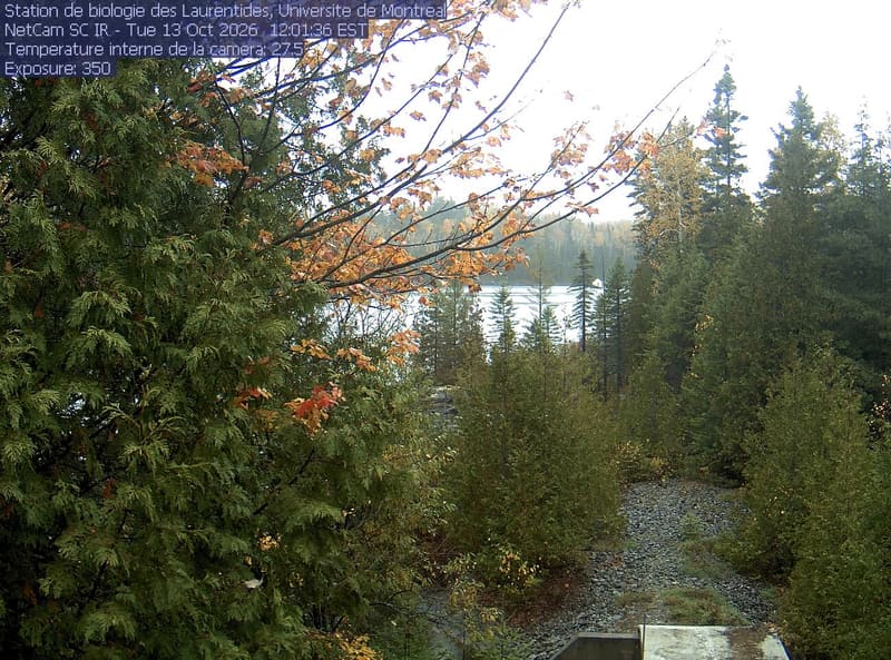
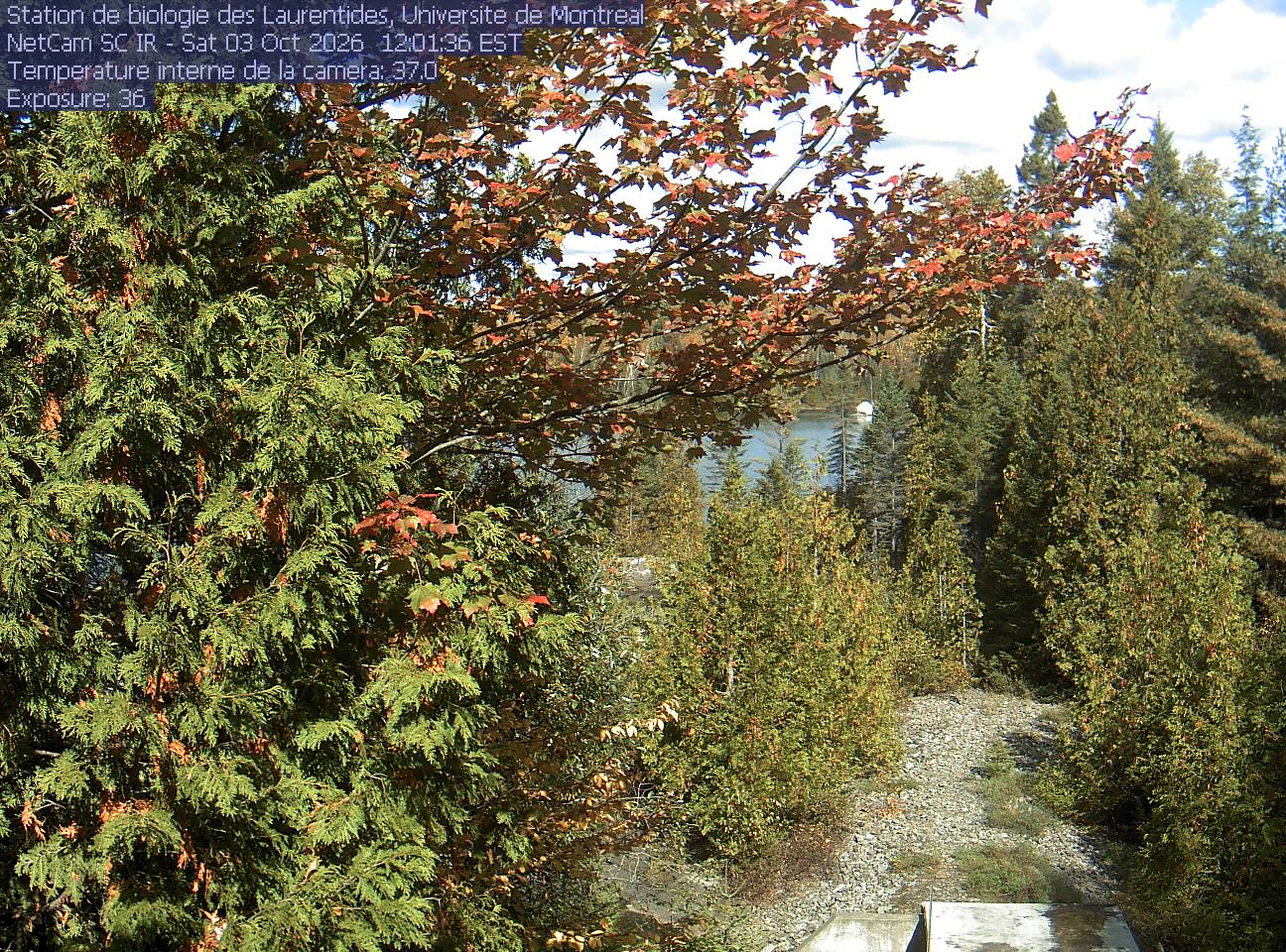
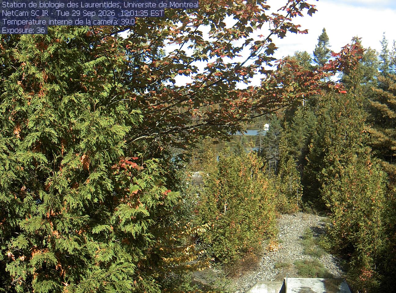
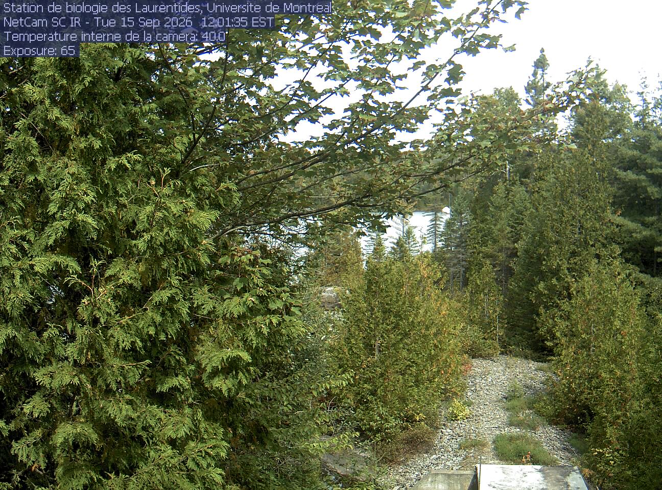
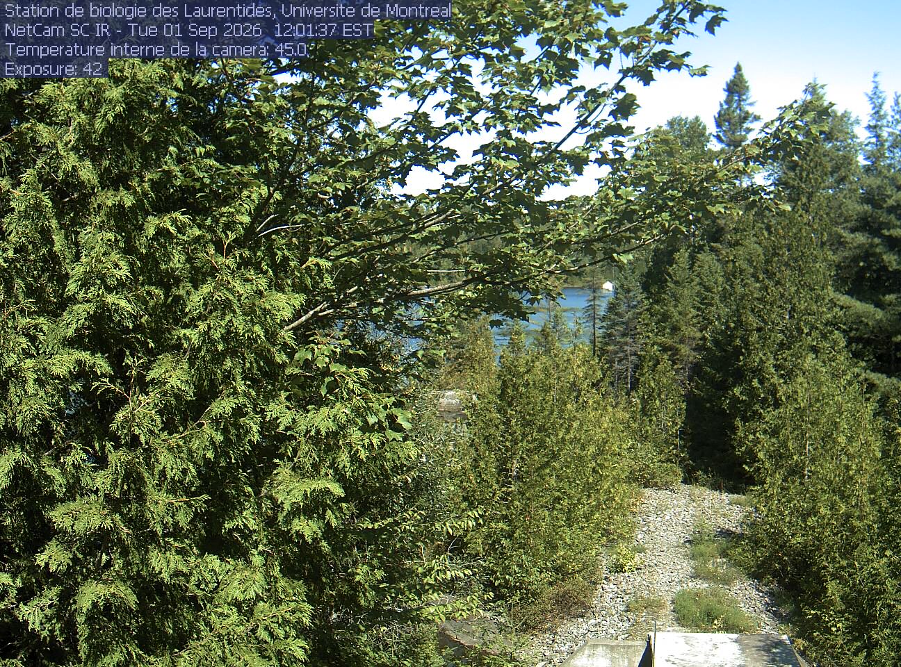
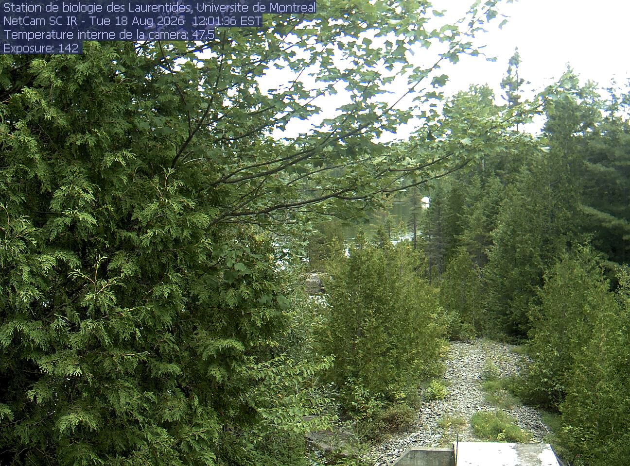
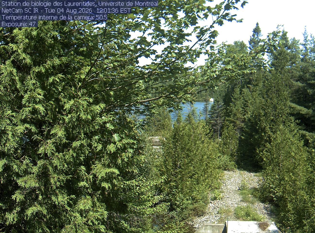
A broadleaf branch overhangs the top of the view between tall conifers, with a lake and its far shore beyond. Gravel and the corner of a small structure at the bottom show the research setting.
· 12:01 camera time

PhenoCam Network / Station de biologie des Laurentides, University of Montreal, St-Hippolyte, Quebec, Canada

A broadleaf branch overhangs the top of the view between tall conifers, with a lake and its far shore beyond. Gravel and the corner of a small structure at the bottom show the research setting.

PhenoCam Network / Station de biologie des Laurentides, University of Montreal, St-Hippolyte, Quebec, Canada

A broadleaf branch overhangs the top of the view between tall conifers, with a lake and its far shore beyond. Gravel and the corner of a small structure at the bottom show the research setting.
· 12:01 camera time

PhenoCam Network / Station de biologie des Laurentides, University of Montreal, St-Hippolyte, Quebec, Canada

A broadleaf branch overhangs the top of the view between tall conifers, with a lake and its far shore beyond. Gravel and the corner of a small structure at the bottom show the research setting.
· 12:01 camera time

PhenoCam Network / Station de biologie des Laurentides, University of Montreal, St-Hippolyte, Quebec, Canada

A broadleaf branch overhangs the top of the view between tall conifers, with a lake and its far shore beyond. Gravel and the corner of a small structure at the bottom show the research setting.
· 12:01 camera time

PhenoCam Network / Station de biologie des Laurentides, University of Montreal, St-Hippolyte, Quebec, Canada

A broadleaf branch overhangs the top of the view between tall conifers, with a lake and its far shore beyond. Gravel and the corner of a small structure at the bottom show the research setting.
· 12:01 camera time

PhenoCam Network / Station de biologie des Laurentides, University of Montreal, St-Hippolyte, Quebec, Canada

A broadleaf branch overhangs the top of the view between tall conifers, with a lake and its far shore beyond. Gravel and the corner of a small structure at the bottom show the research setting.
· 12:01 camera time

PhenoCam Network / Station de biologie des Laurentides, University of Montreal, St-Hippolyte, Quebec, Canada

The camera’s website

Open the place’s page

Mont Saint-Joseph

Québec · In the daily camera check

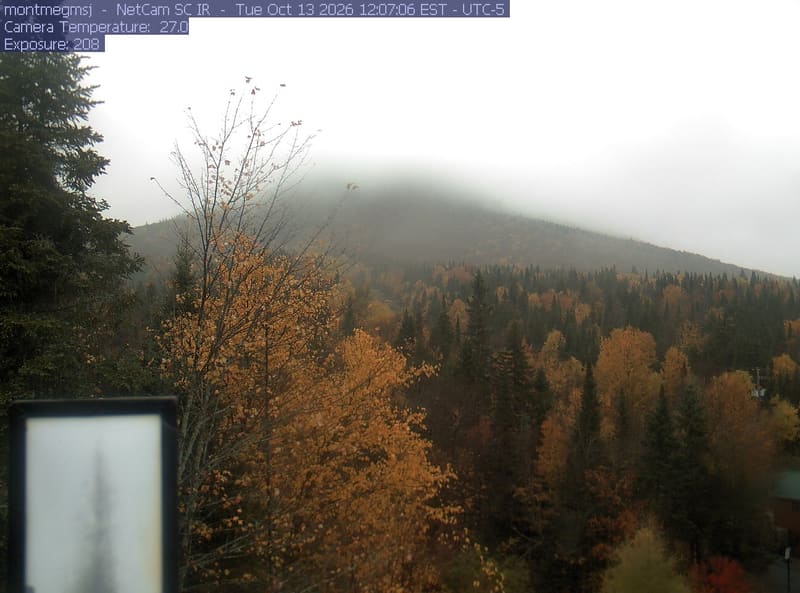
Gold and orange broadleaf crowns spread through the foreground and mountain slope among dark conifers. An instrument box at lower left and a small roof at lower right obscure limited parts of the view.
· 12:07 camera time

PhenoCam Network and contributing camera operators

The camera’s website

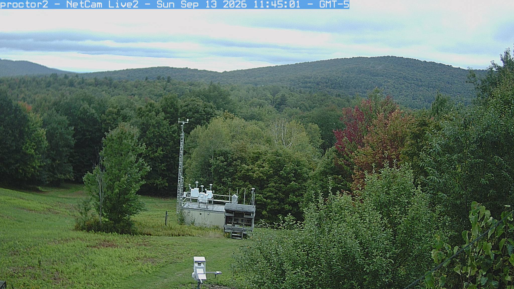
Underhill hills

Vermont · In the daily camera check

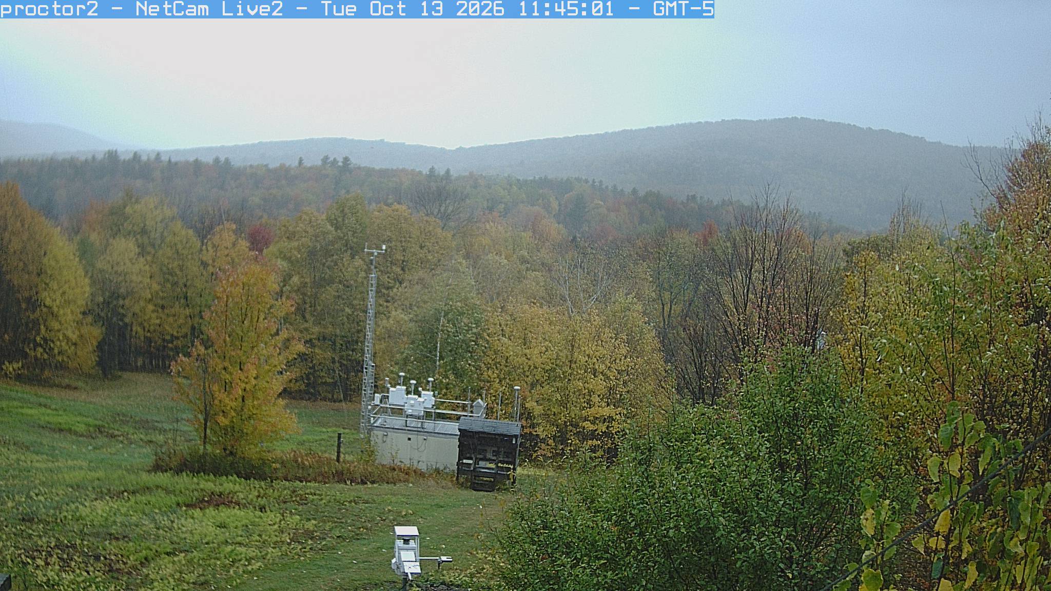
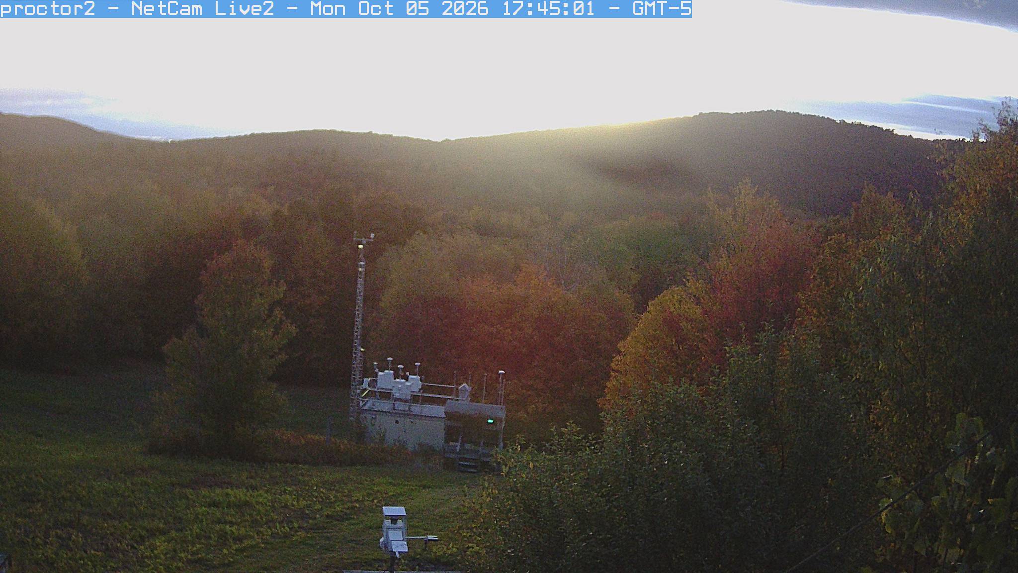
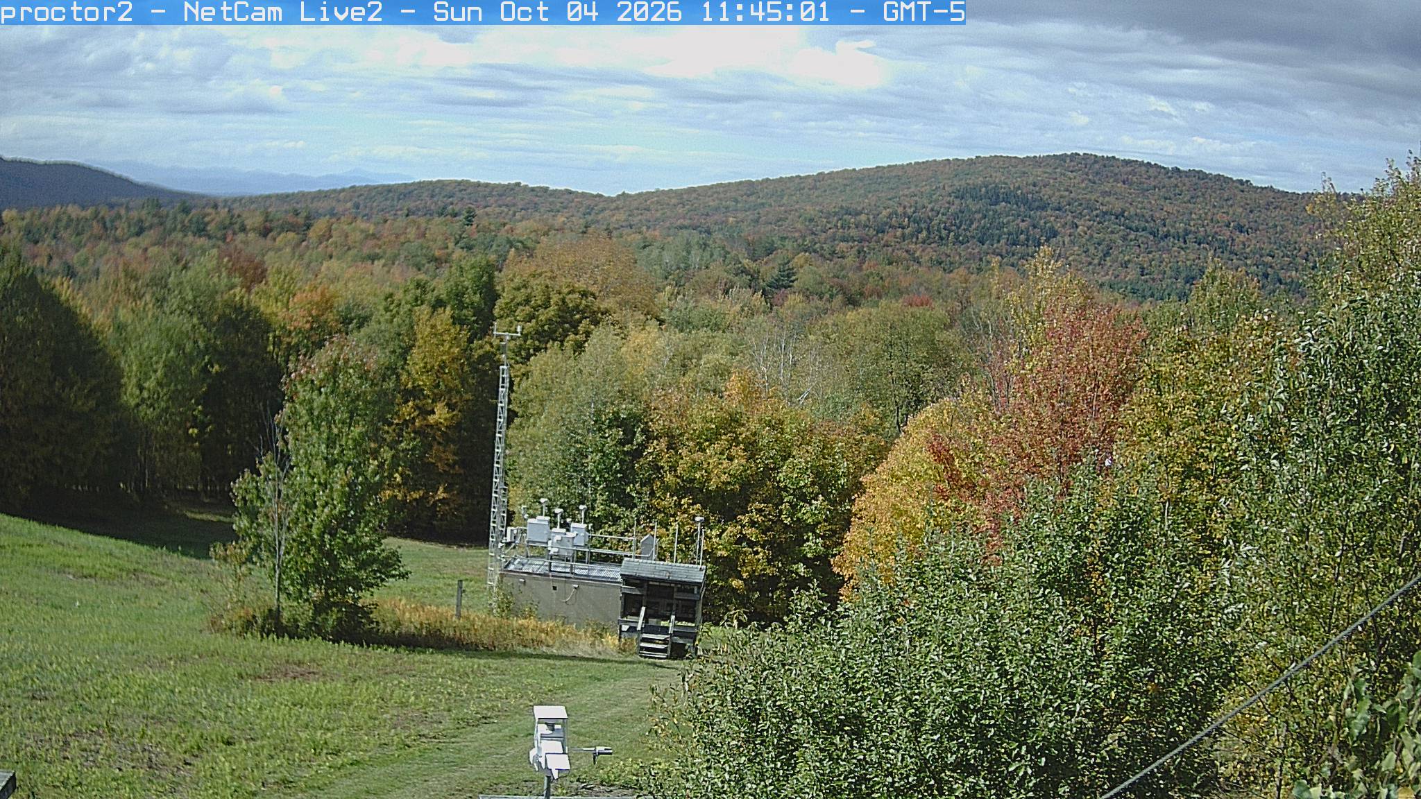
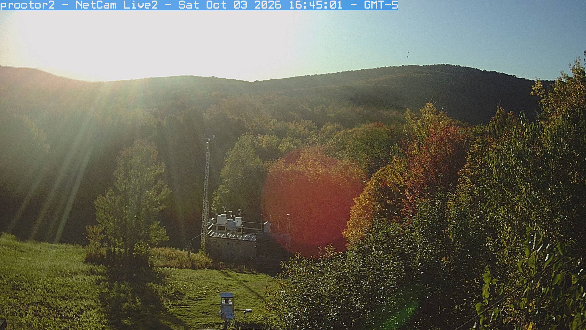
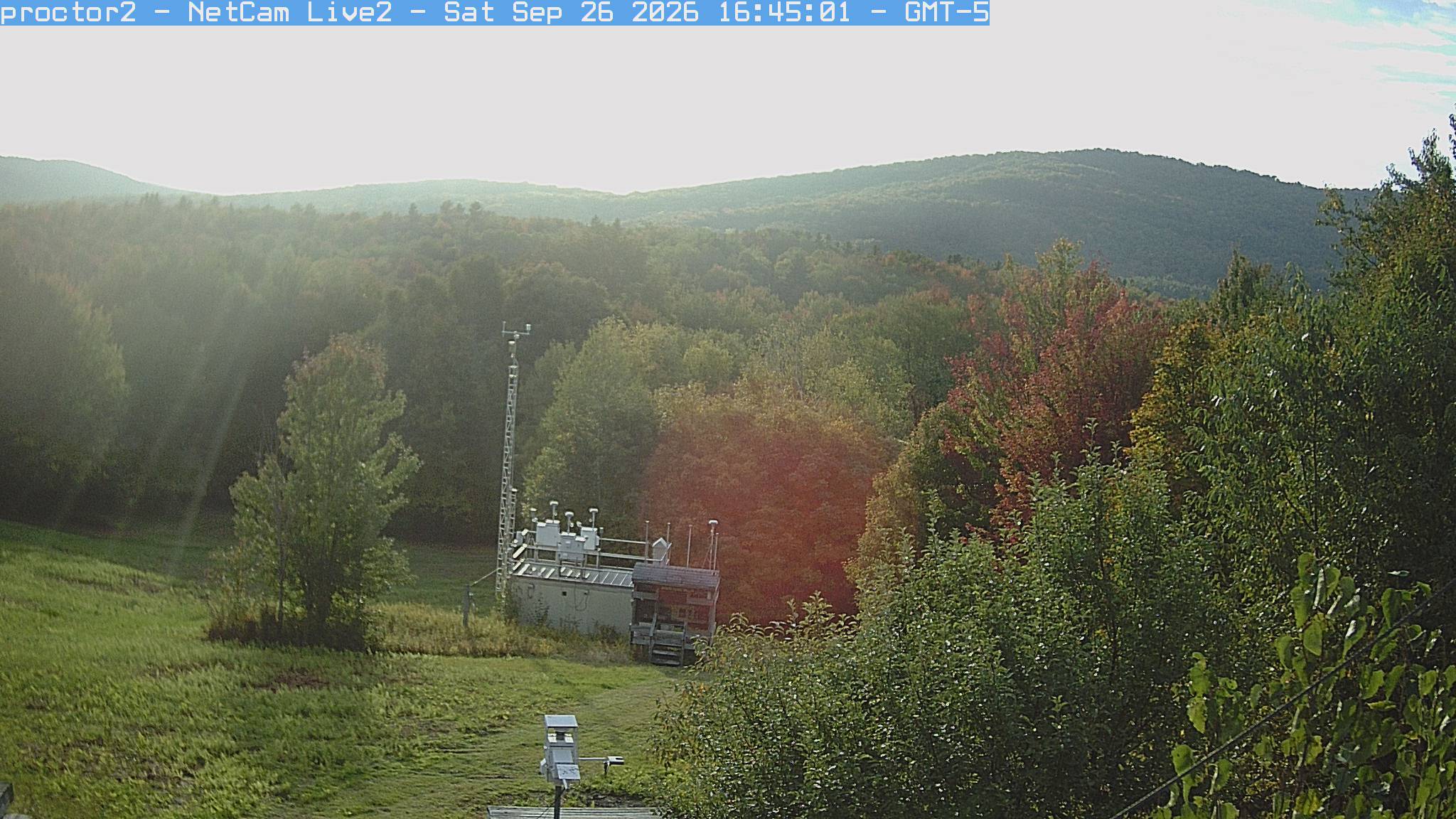
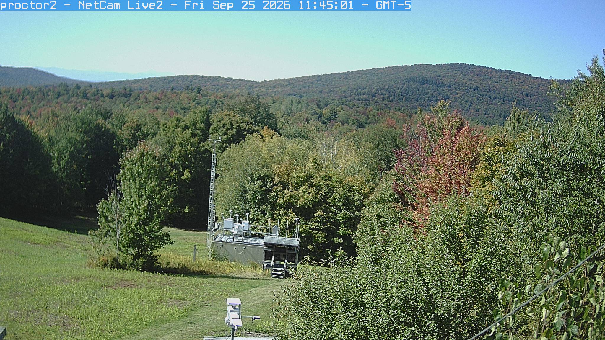
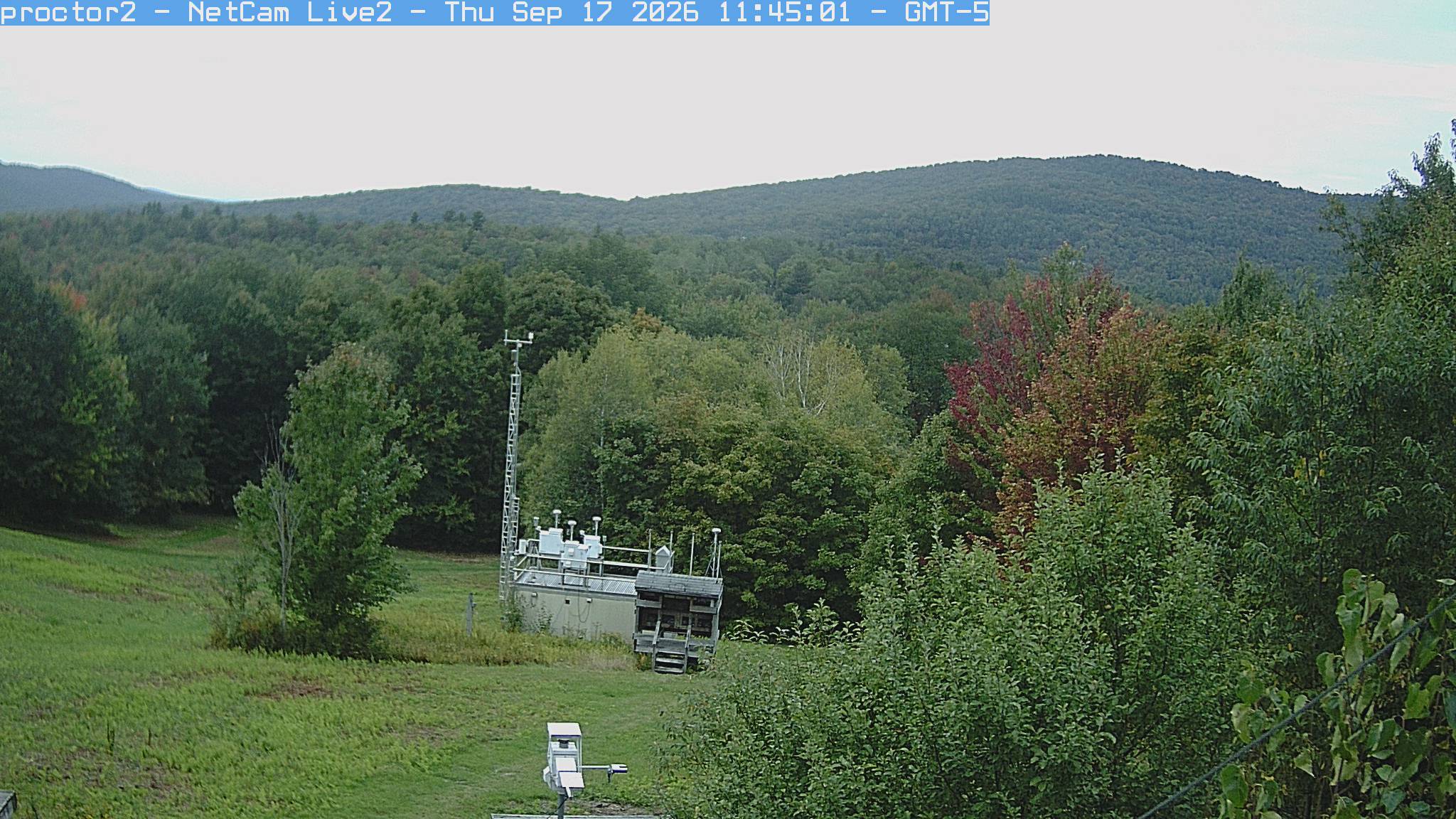
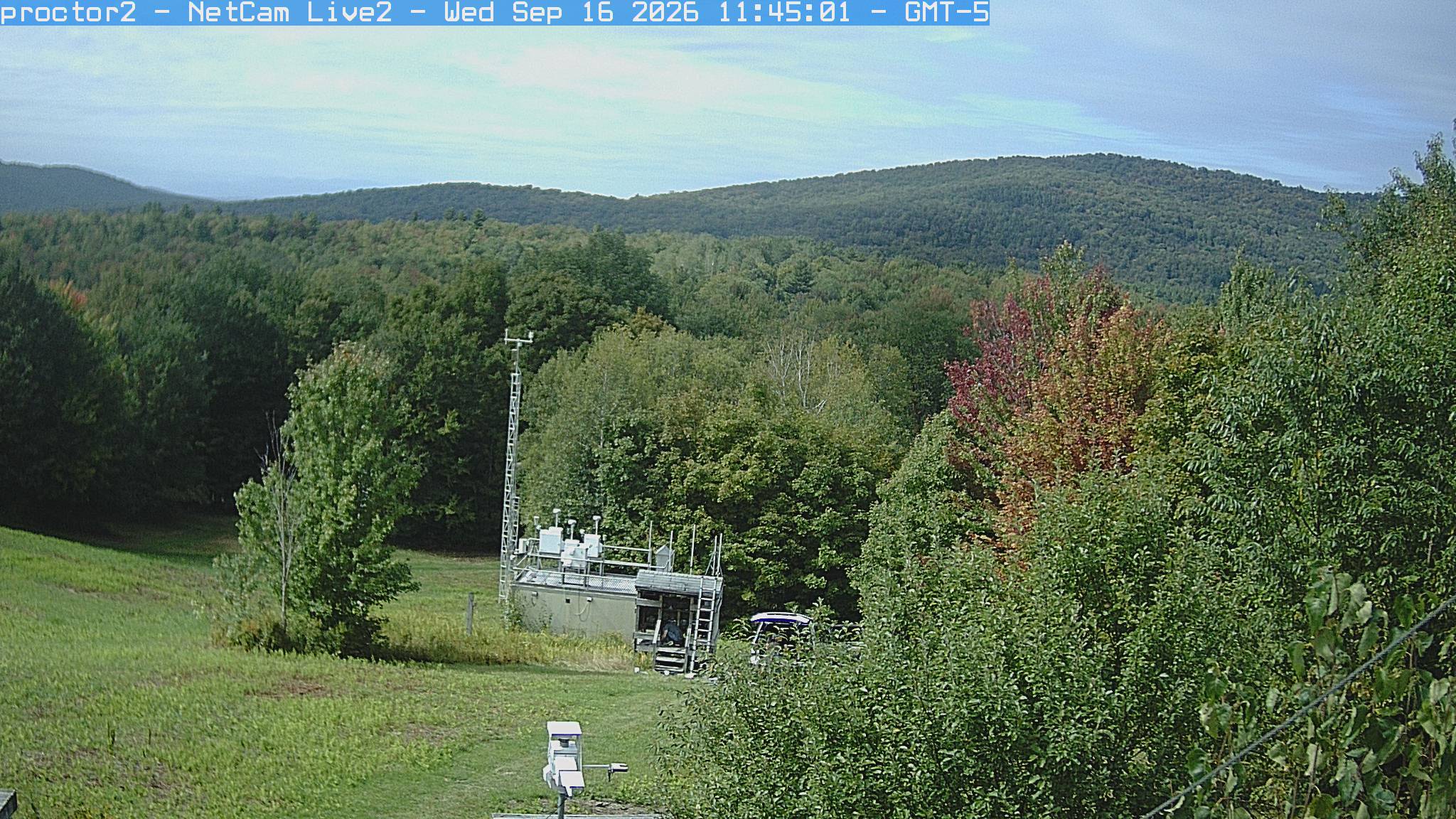
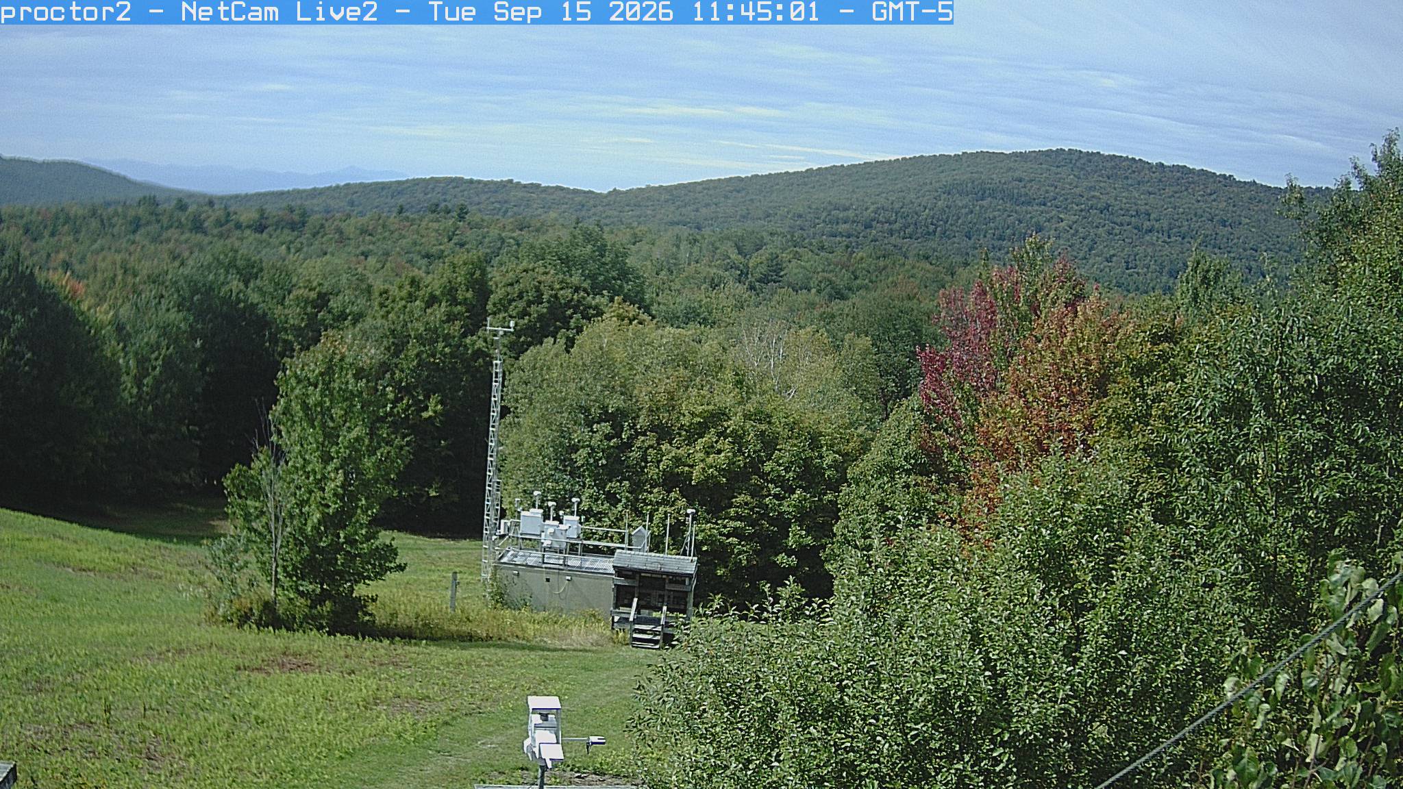
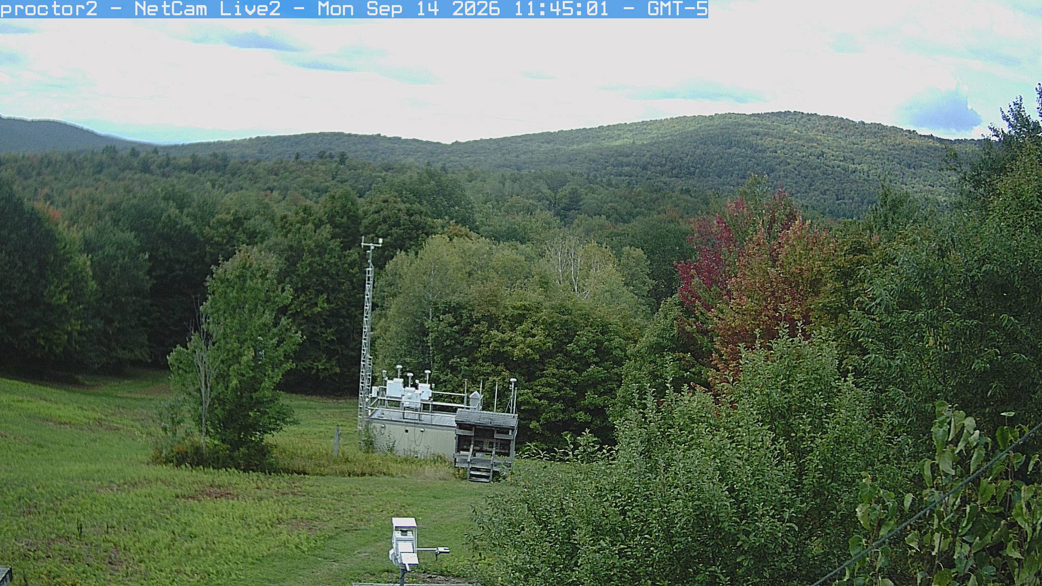
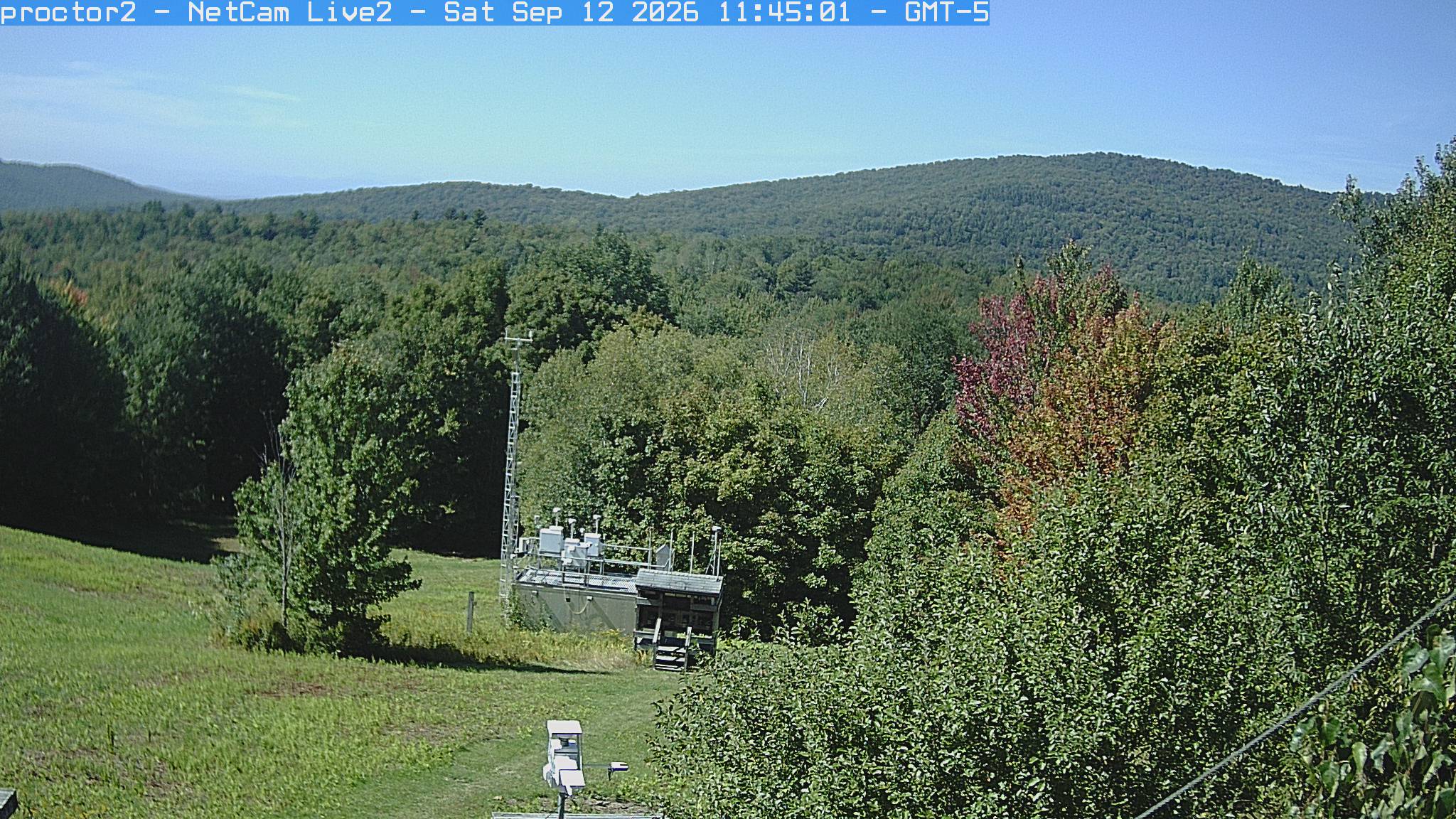
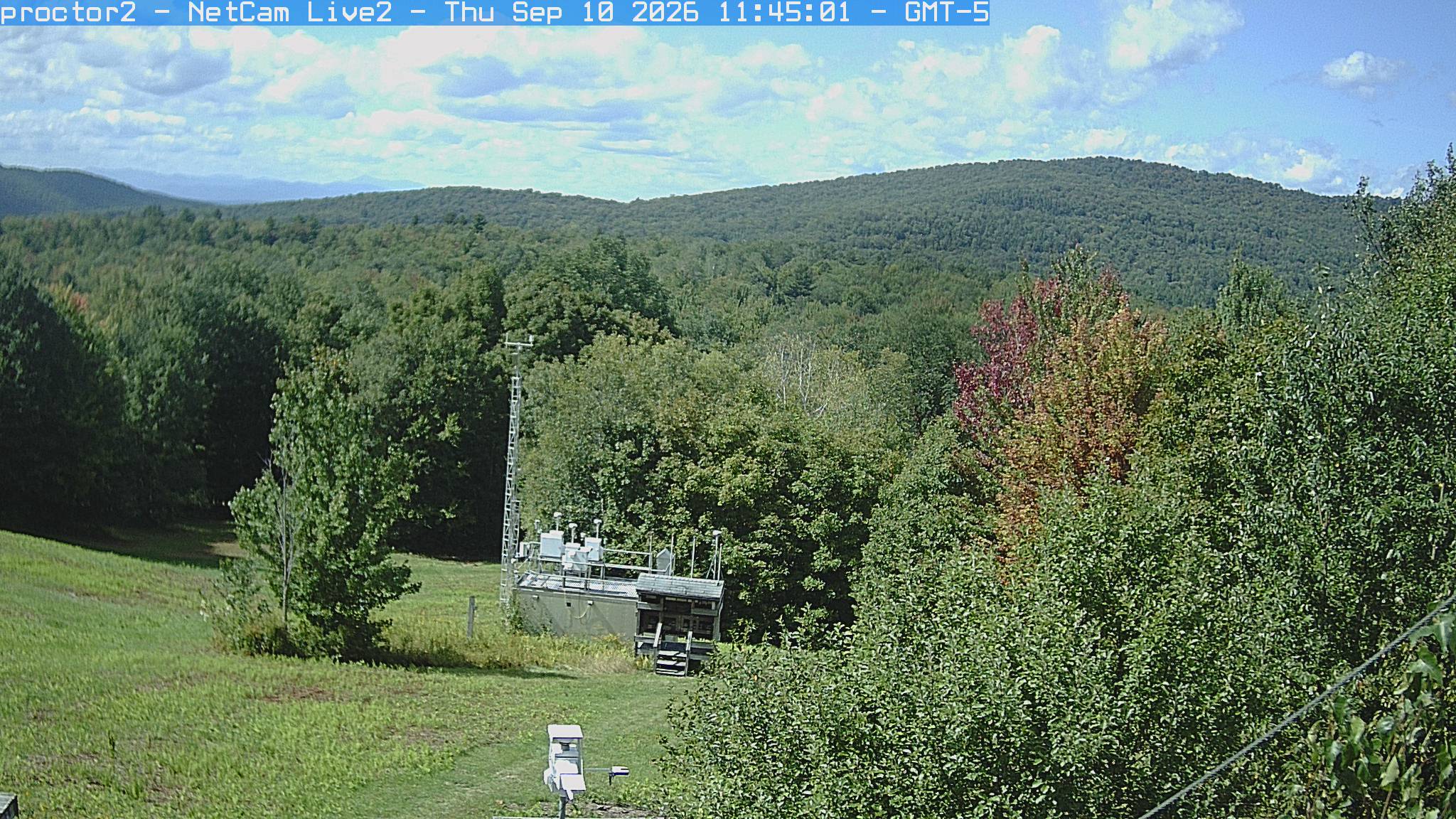
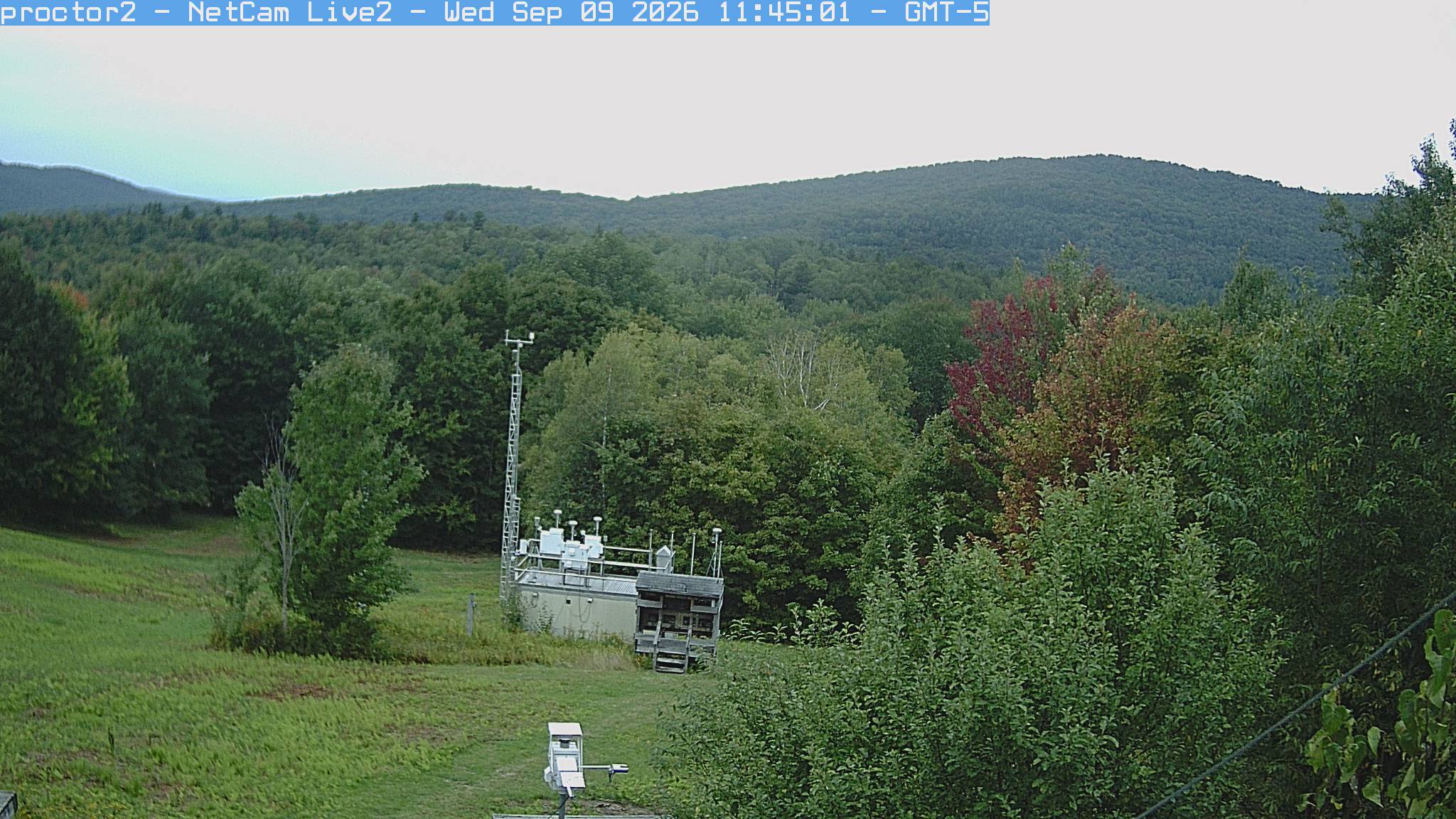
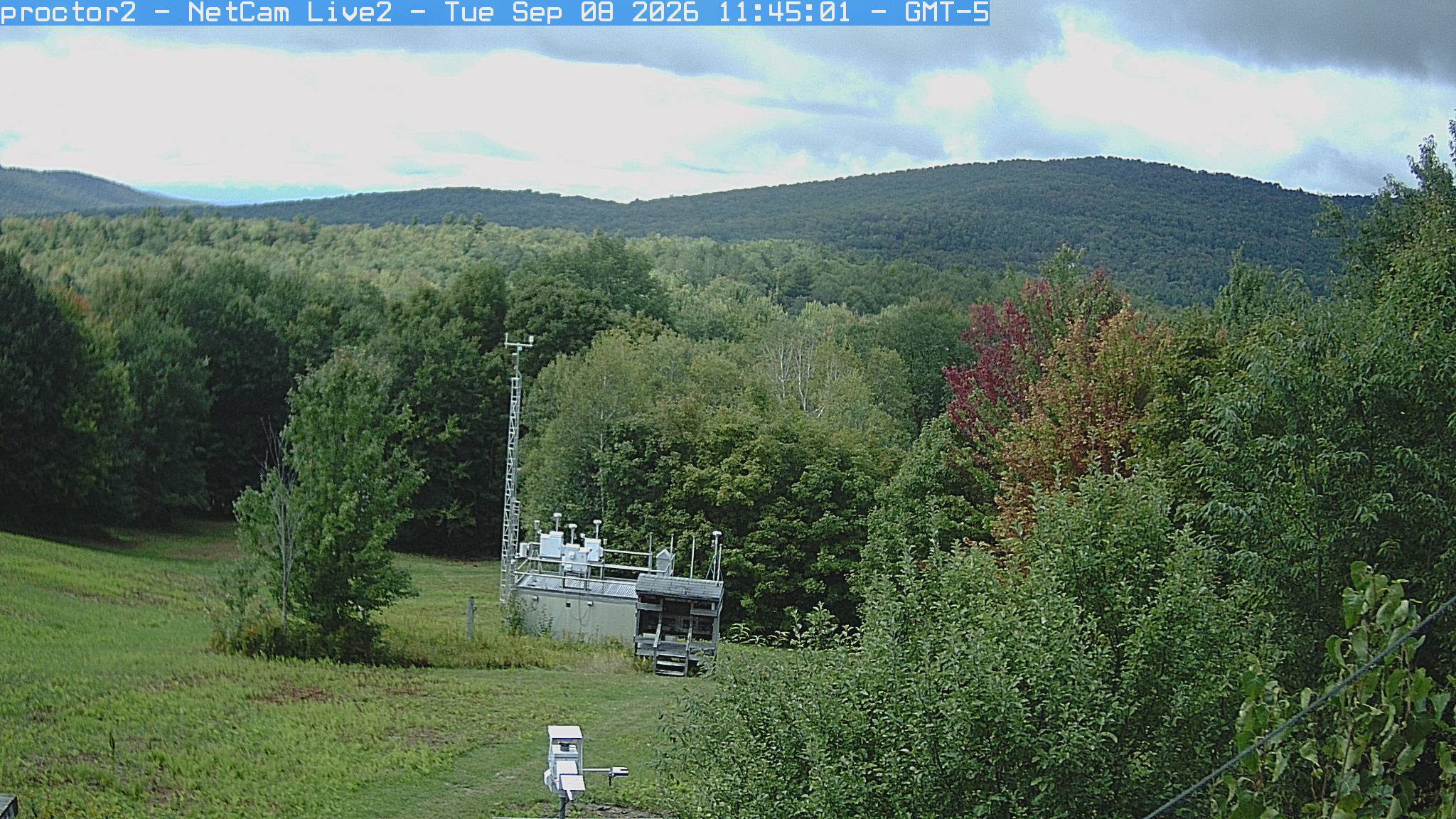
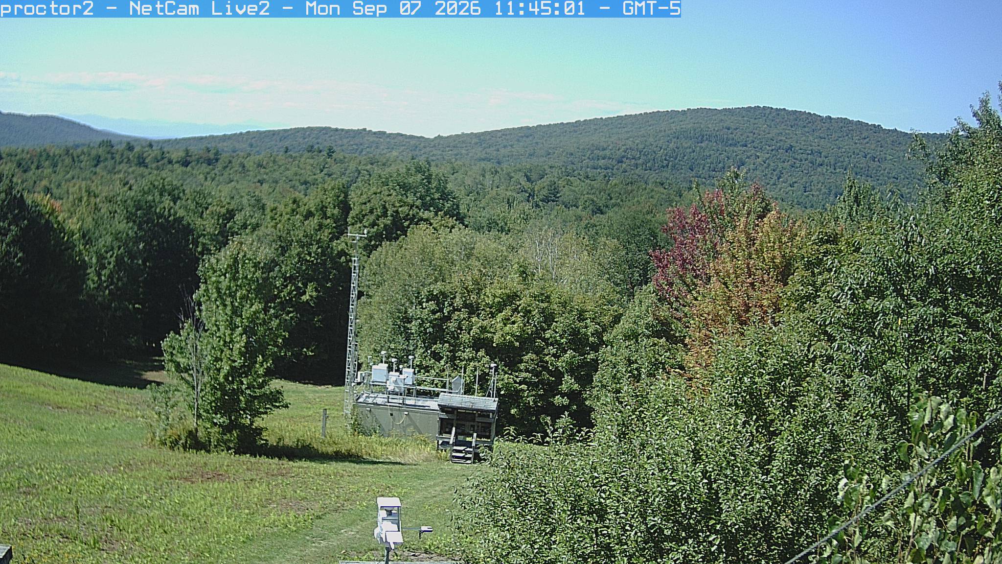
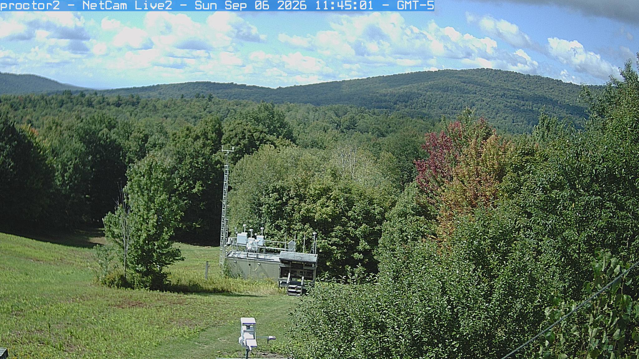
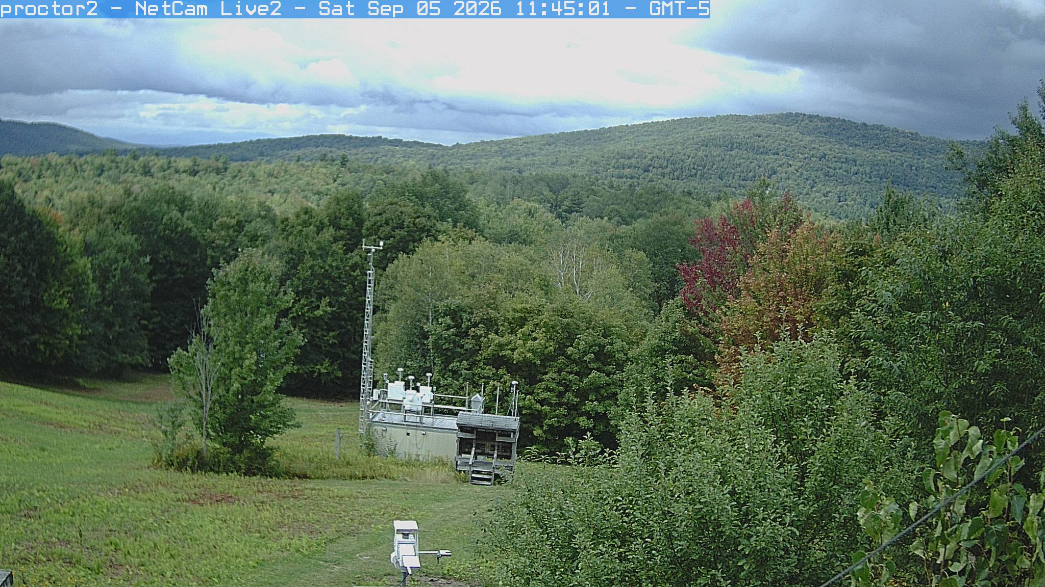
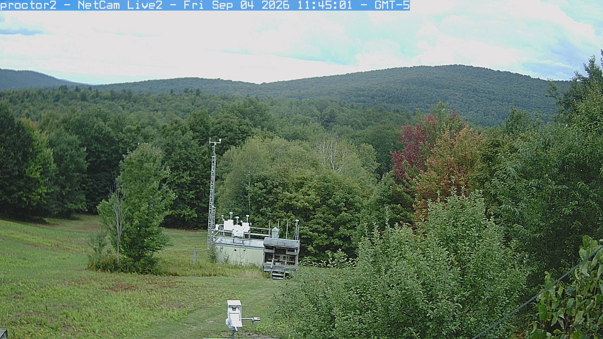
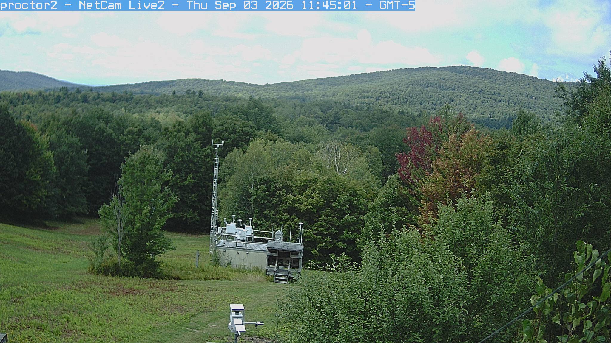
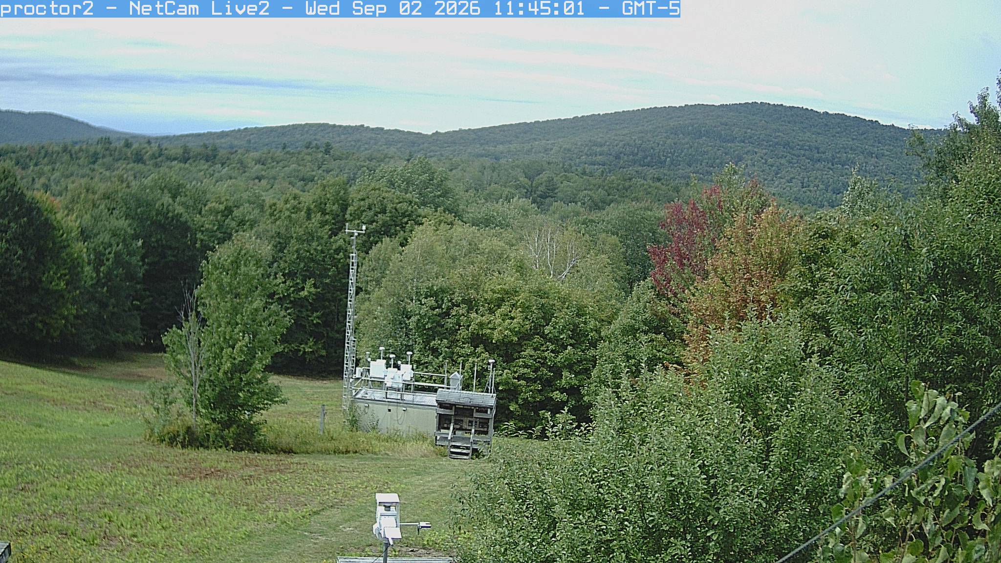
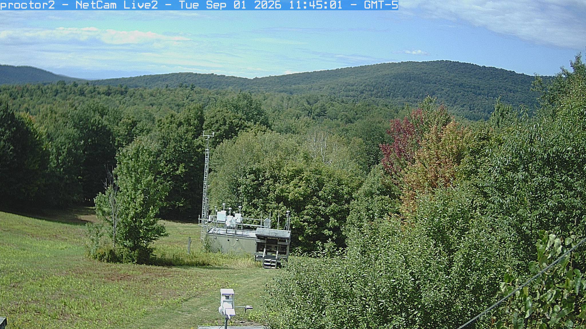
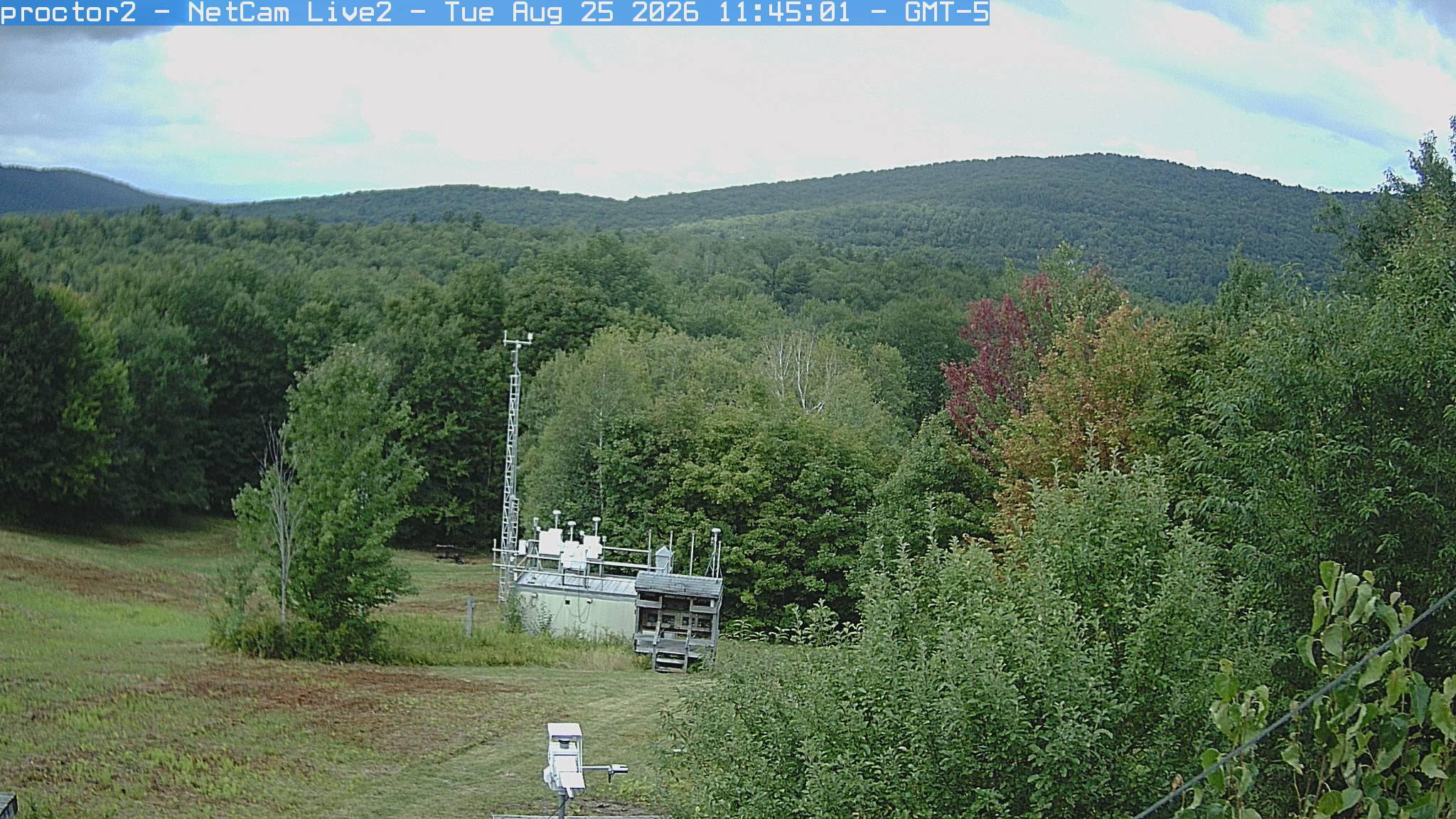
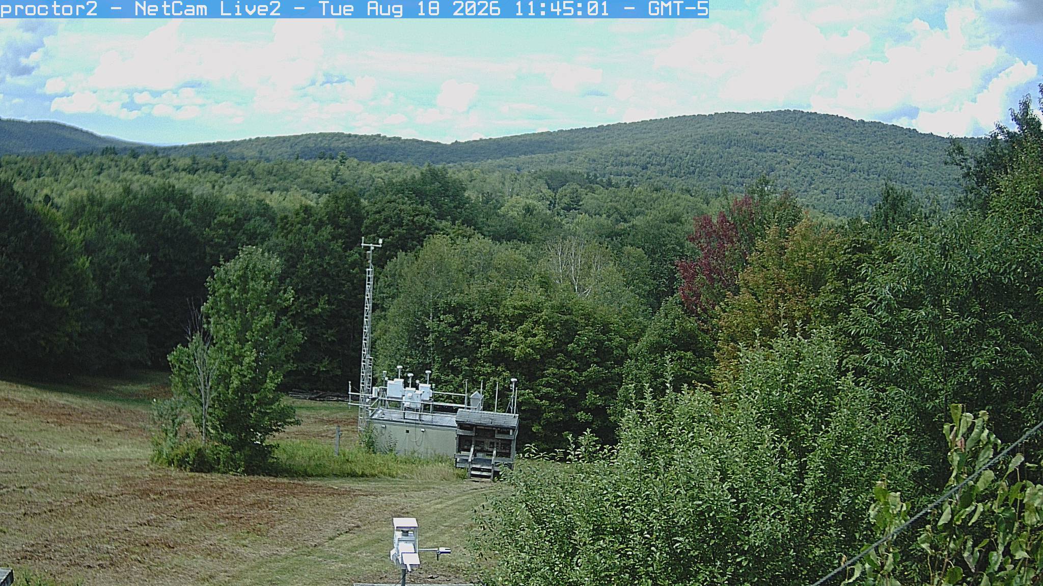
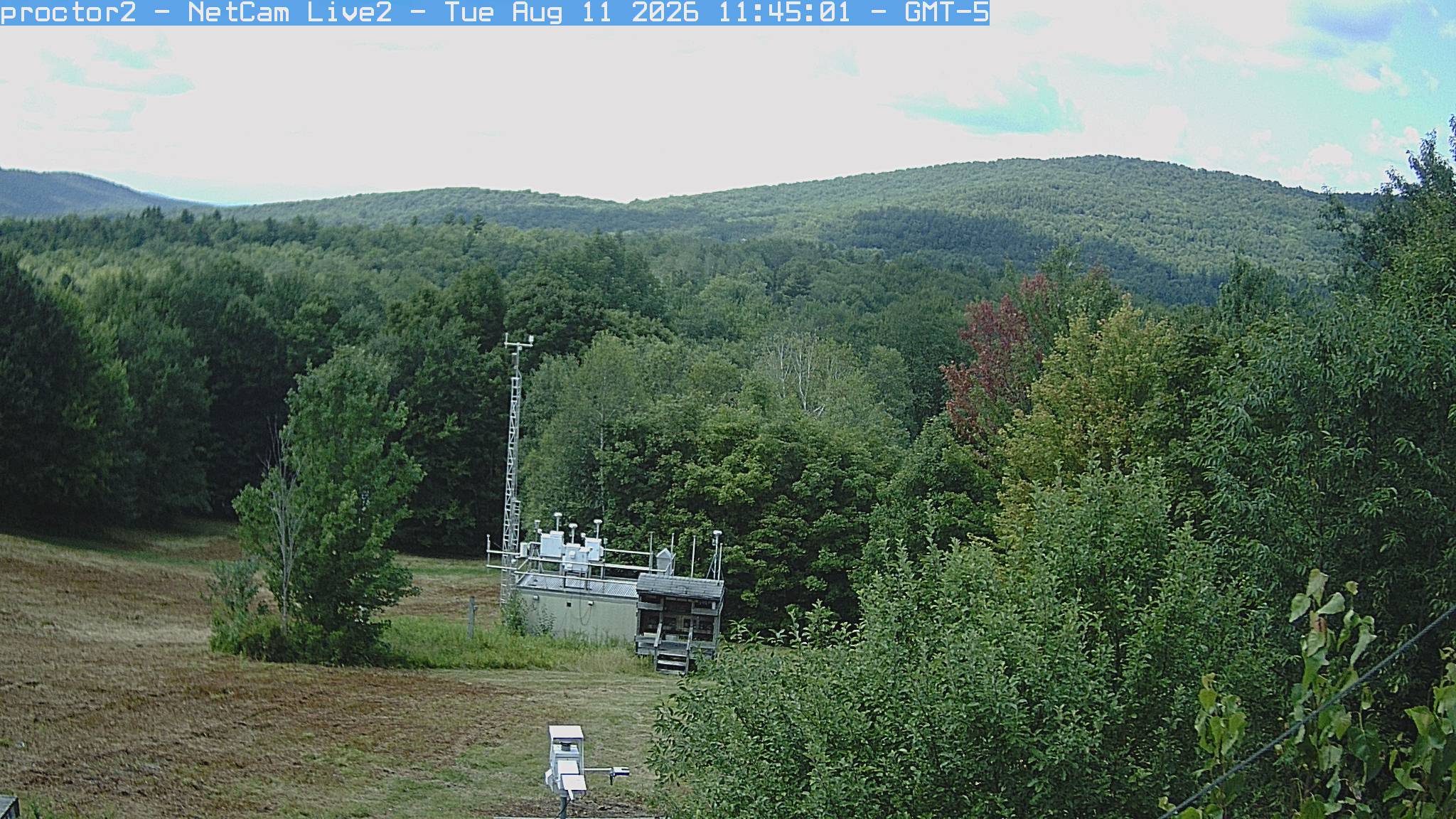
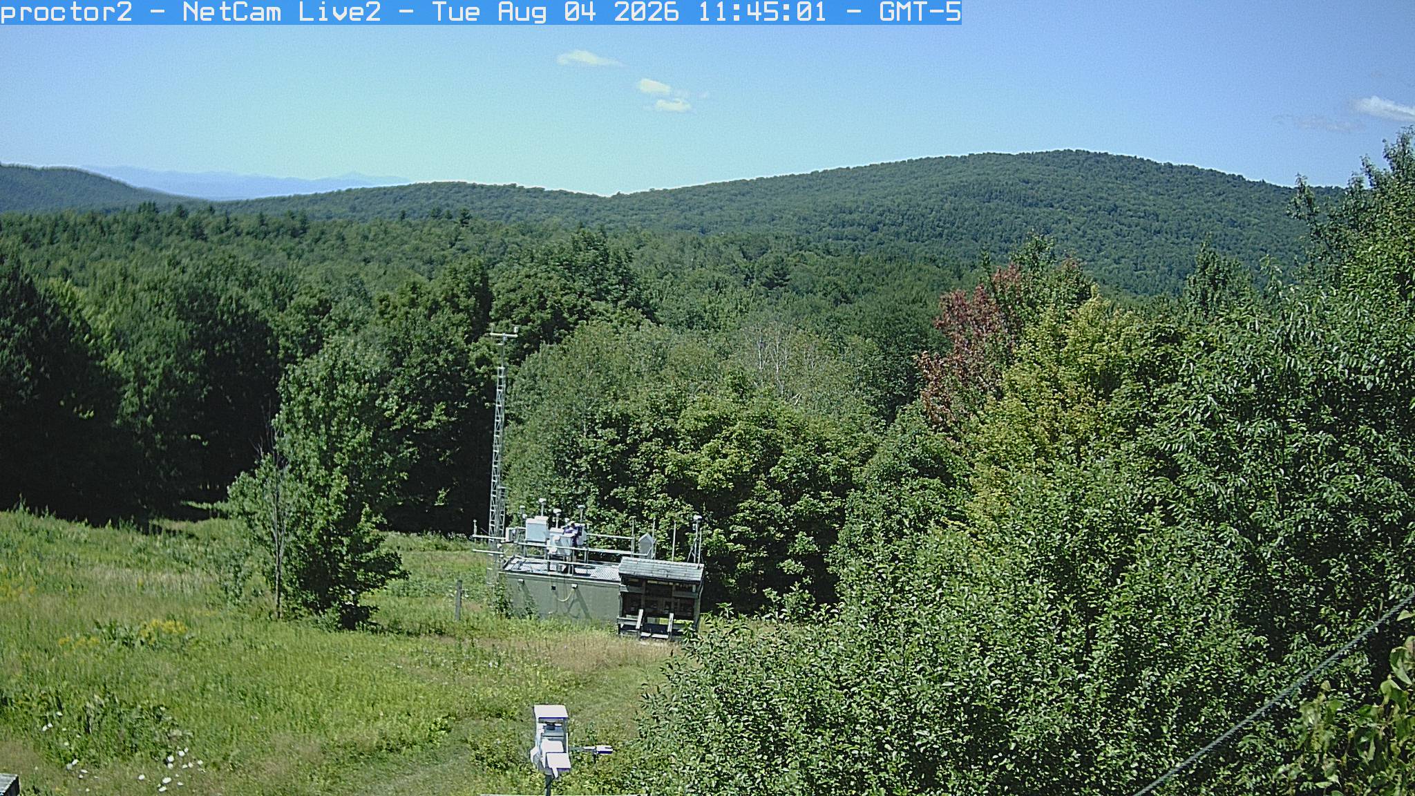
Wooded hills rise beyond an open foreground with research instruments.
· 11:45 camera time

PhenoCam Network / Proctor Maple Research Center

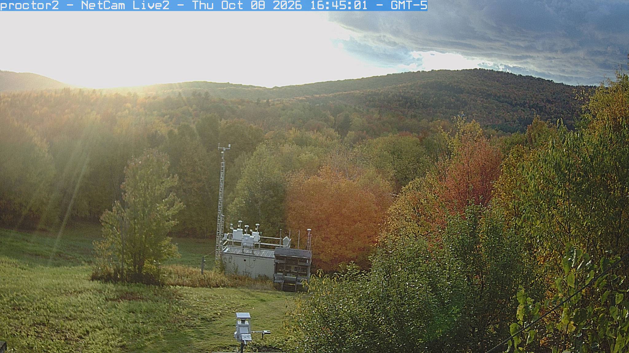
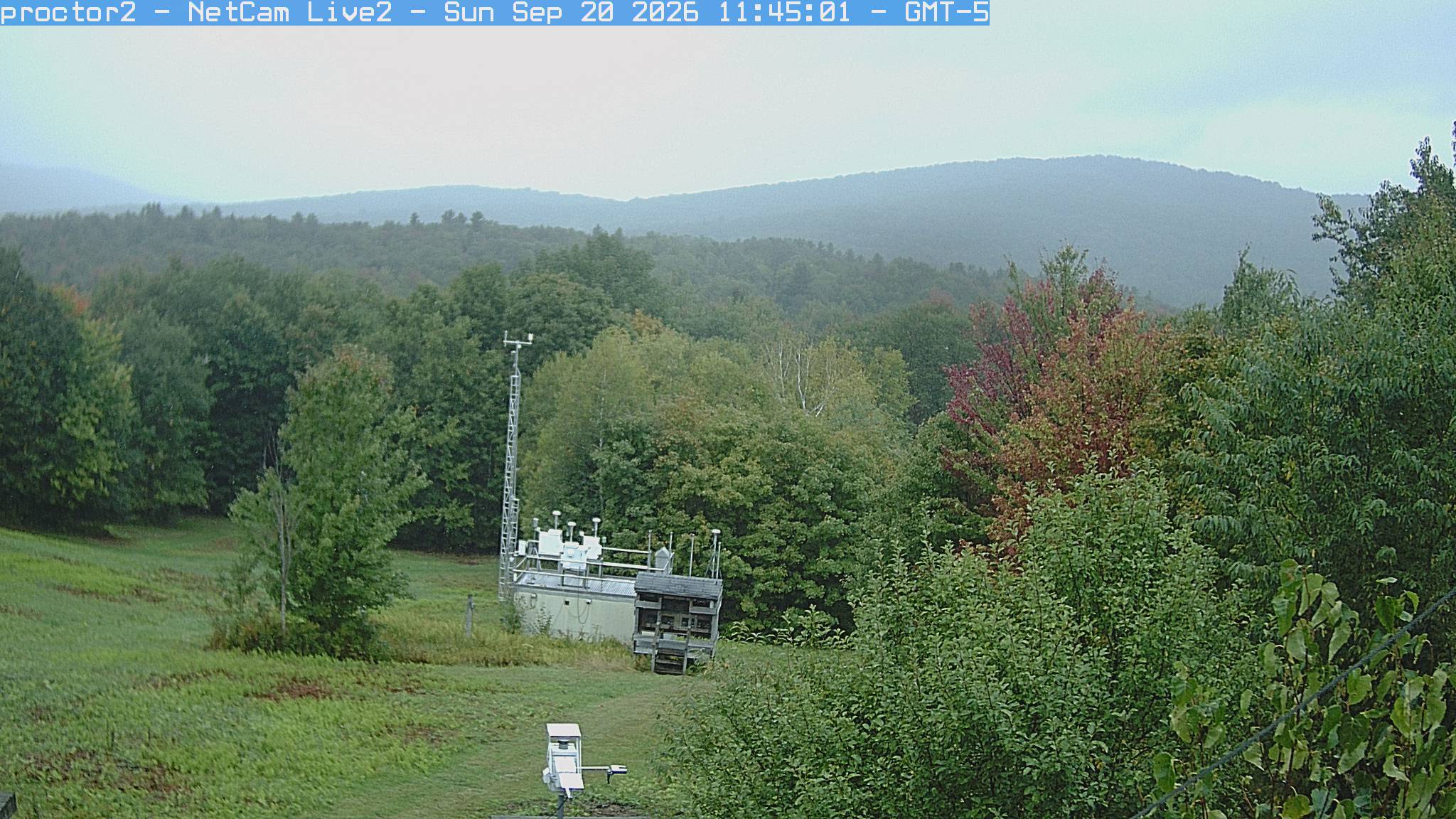
Wooded hills rise beyond an open foreground with research instruments.
· 16:45 camera time

PhenoCam Network / Proctor Maple Research Center

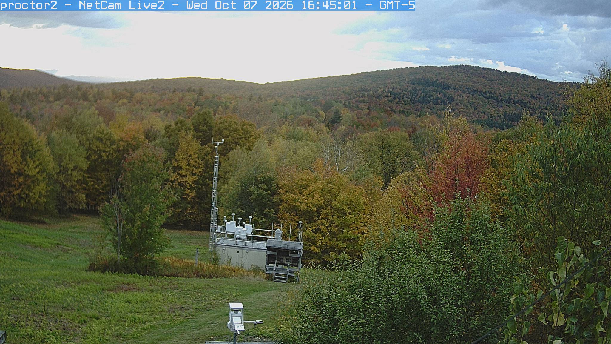
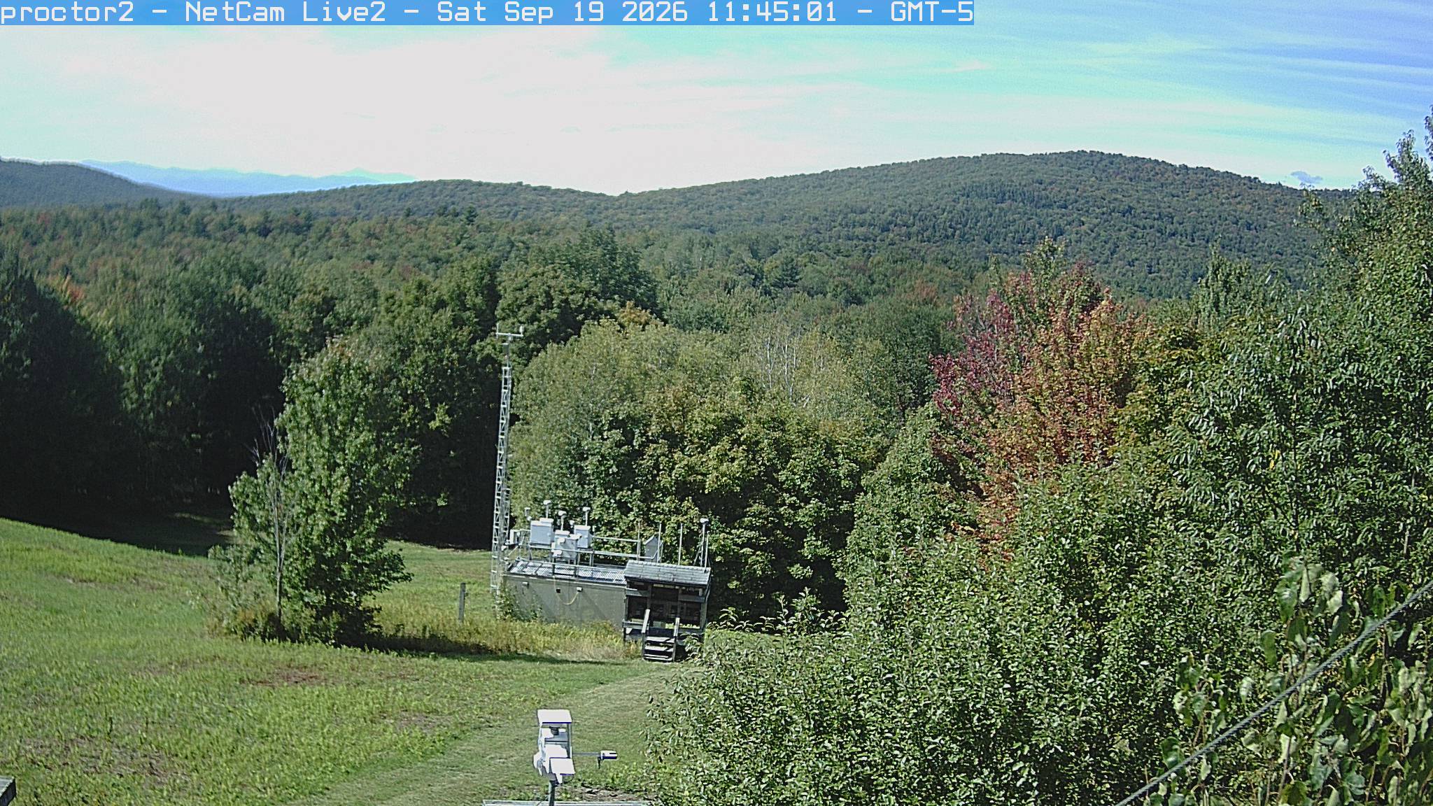
Wooded hills rise beyond an open foreground with research instruments.
· 16:45 camera time

PhenoCam Network / Proctor Maple Research Center

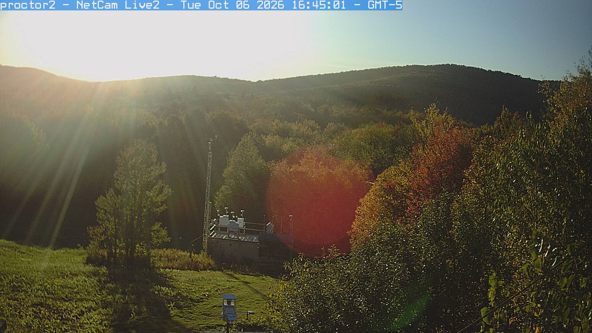
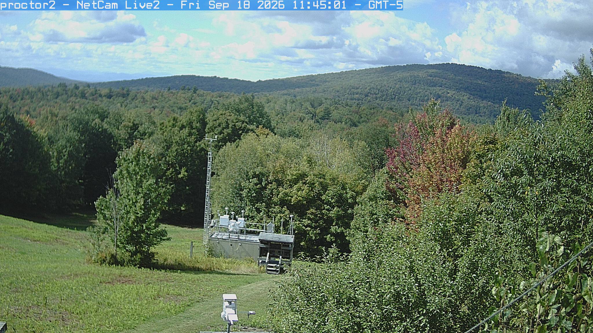
Wooded hills rise beyond an open foreground with research instruments.
· 16:45 camera time

PhenoCam Network / Proctor Maple Research Center

Wooded hills rise beyond an open foreground with research instruments.
· 17:45 camera time

PhenoCam Network / Proctor Maple Research Center

Wooded hills rise beyond an open foreground with research instruments.
· 11:45 camera time

PhenoCam Network / Proctor Maple Research Center

Wooded hills rise beyond an open foreground with research instruments.
· 16:45 camera time

PhenoCam Network / Proctor Maple Research Center

Wooded hills rise beyond an open foreground with research instruments.
· 16:45 camera time

PhenoCam Network / Proctor Maple Research Center

Wooded hills rise beyond an open foreground with research instruments.
· 11:45 camera time

PhenoCam Network / Proctor Maple Research Center

Wooded hills rise beyond an open foreground with research instruments.
· 11:45 camera time

PhenoCam Network / Proctor Maple Research Center

Wooded hills rise beyond an open foreground with research instruments.
· 11:45 camera time

PhenoCam Network / Proctor Maple Research Center

Wooded hills rise beyond an open foreground with research instruments.
· 11:45 camera time

PhenoCam Network / Proctor Maple Research Center

Wooded hills rise beyond an open foreground with research instruments.
· 11:45 camera time

PhenoCam Network / Proctor Maple Research Center

Wooded hills rise beyond an open foreground with research instruments.
· 11:45 camera time

PhenoCam Network / Proctor Maple Research Center

Wooded hills rise beyond an open foreground with research instruments.
· 11:45 camera time

PhenoCam Network / Proctor Maple Research Center

Wooded hills rise beyond an open foreground with research instruments.
· 11:45 camera time

PhenoCam Network / Proctor Maple Research Center

Wooded hills rise beyond an open foreground with research instruments.
· 11:45 camera time

PhenoCam Network / Proctor Maple Research Center

Wooded hills rise beyond an open foreground with research instruments.
· 11:45 camera time

PhenoCam Network / Proctor Maple Research Center

Wooded hills rise beyond an open foreground with research instruments.
· 11:45 camera time

PhenoCam Network / Proctor Maple Research Center

Wooded hills rise beyond an open foreground with research instruments.
· 11:45 camera time

PhenoCam Network / Proctor Maple Research Center

Wooded hills rise beyond an open foreground with research instruments.
· 11:45 camera time

PhenoCam Network / Proctor Maple Research Center

Wooded hills rise beyond an open foreground with research instruments.
· 11:45 camera time

PhenoCam Network / Proctor Maple Research Center

Wooded hills rise beyond an open foreground with research instruments.
· 11:45 camera time

PhenoCam Network / Proctor Maple Research Center

Wooded hills rise beyond an open foreground with research instruments.
· 11:45 camera time

PhenoCam Network / Proctor Maple Research Center

Wooded hills rise beyond an open foreground with research instruments.
· 11:45 camera time

PhenoCam Network / Proctor Maple Research Center

Wooded hills rise beyond an open foreground with research instruments.
· 11:45 camera time

PhenoCam Network / Proctor Maple Research Center

Wooded hills rise beyond an open foreground with research instruments.
· 11:45 camera time

PhenoCam Network / Proctor Maple Research Center

Wooded hills rise beyond an open foreground with research instruments.
· 11:45 camera time

PhenoCam Network / Proctor Maple Research Center

Wooded hills rise beyond an open foreground with research instruments.
· 11:45 camera time

PhenoCam Network / Proctor Maple Research Center

Wooded hills rise beyond an open foreground with research instruments.
· 11:45 camera time

PhenoCam Network / Proctor Maple Research Center

Wooded hills rise beyond an open foreground with research instruments.
· 11:45 camera time

PhenoCam Network / Proctor Maple Research Center

Wooded hills rise beyond an open foreground with research instruments.
· 11:45 camera time

PhenoCam Network / Proctor Maple Research Center

Wooded hills rise beyond an open foreground with research instruments.
· 11:45 camera time

PhenoCam Network / Proctor Maple Research Center

The camera’s website

Open the place’s page

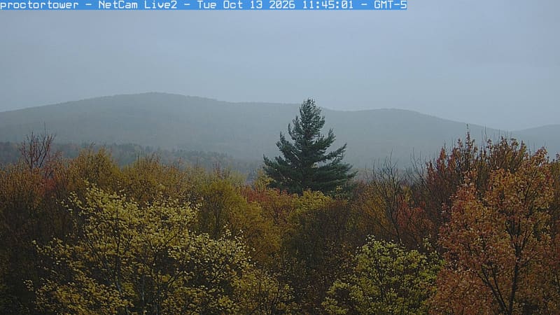
Underhill hills

Vermont · In the daily camera check

Yellow and russet crowns fill the foreground beneath a broad wooded ridge, with a single dark conifer near the centre.
· 11:45 camera time

PhenoCam Network / Proctor Maple Research Center

The camera’s website

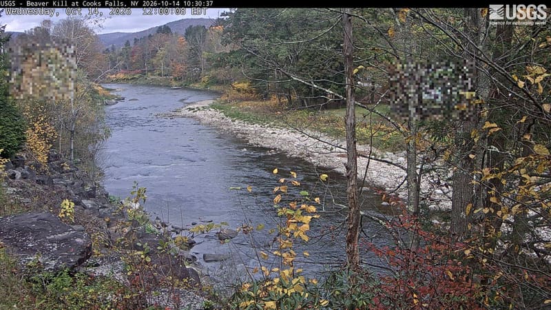
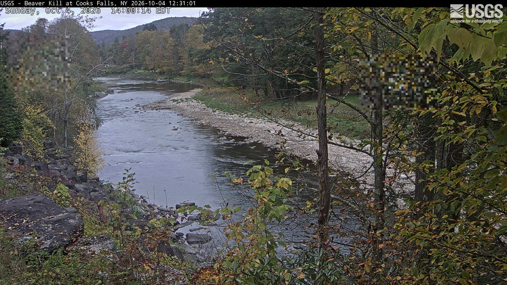
Beaver Kill Cooks Falls

New York · In the daily camera check

A rocky river reach between wooded banks and a low hill, with yellow and bronze near leaves and muted orange crowns upstream. The provider has blurred two small rectangular areas.
· 12:00 camera time

U.S. Geological Survey

A rocky river reach between wooded banks and a low hill, with yellow and bronze near leaves and muted orange crowns upstream. The provider has blurred two small rectangular areas.

U.S. Geological Survey

The camera’s website

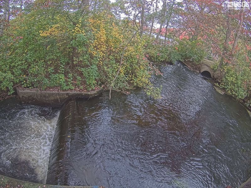
Connetquot River Distributary near Oakdale

New York · In the daily camera check

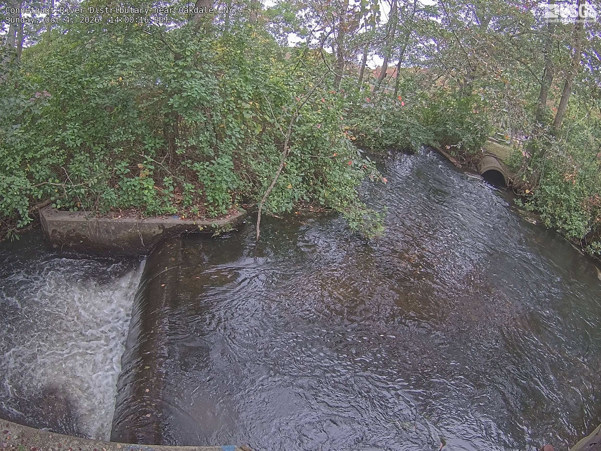
A leafy channel beside a small cascade, with clearly resolved green branches and a few red leaves arching over the water. The view includes a culvert and water-control structures. It represents close local streamside vegetation, not the full Connetquot preserve or a mountain forest.
· 12:00 camera time

U.S. Geological Survey

A leafy channel beside a small cascade, with clearly resolved green branches and a few red leaves arching over the water. The view includes a culvert and water-control structures. It represents close local streamside vegetation, not the full Connetquot preserve or a mountain forest.
· 14:00 camera time

U.S. Geological Survey

The camera’s website

Delaware River at Callicoon

New York · In the daily camera check
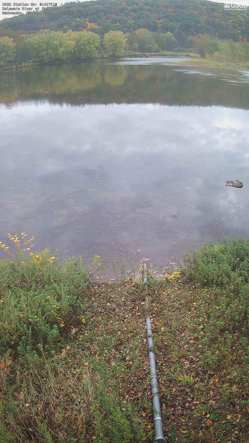
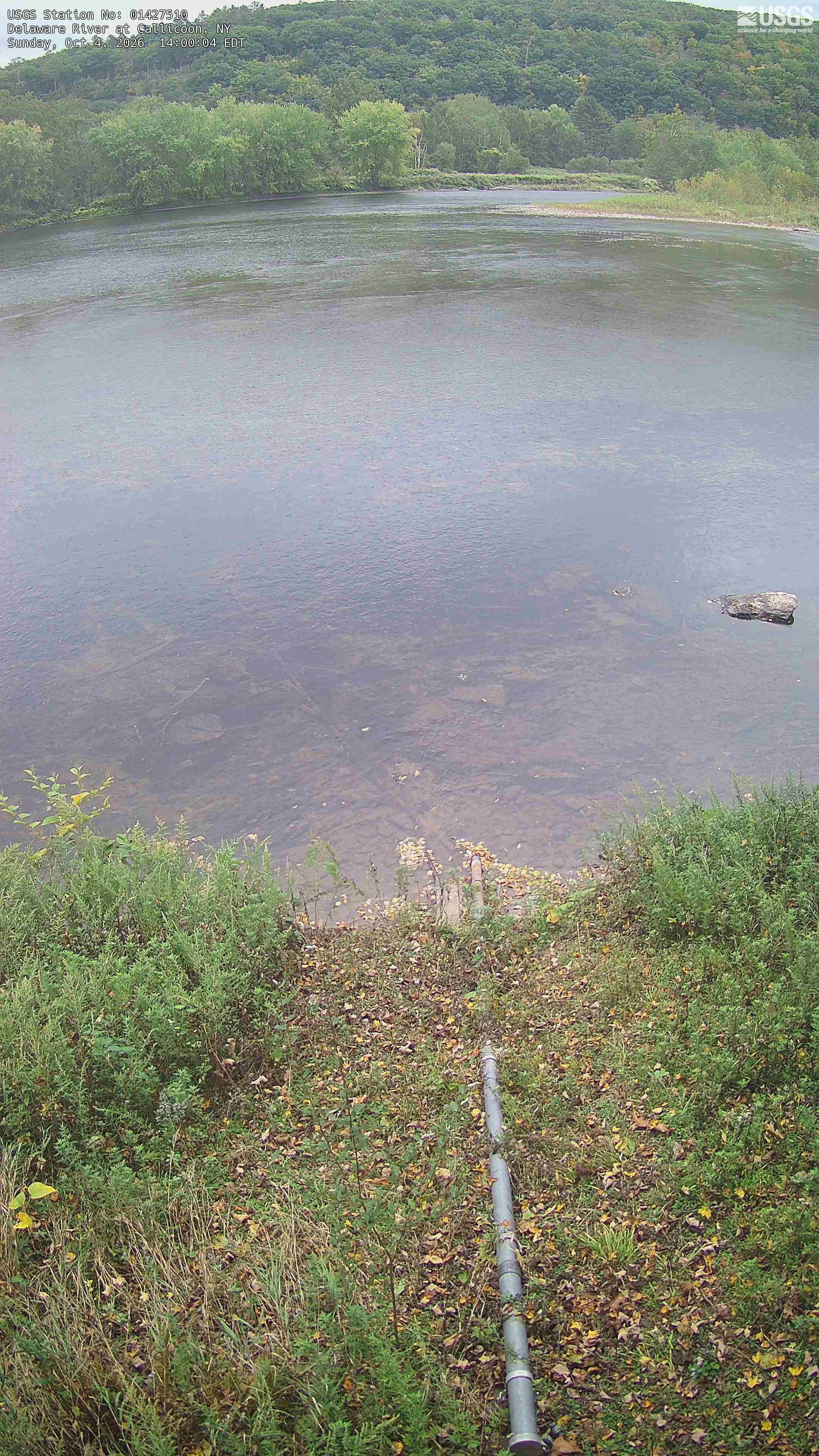
A broad river pool with a continuous wooded hill and tree-lined opposite bank, mostly green with a few yellowing crowns. The portrait composition gives much of its height to water and the near bank; the useful woodland view occupies the upper portion. It is not a close leaf study.
· 12:00 camera time

U.S. Geological Survey

A broad river pool with a continuous wooded hill and tree-lined opposite bank, mostly green with a few yellowing crowns. The portrait composition gives much of its height to water and the near bank; the useful woodland view occupies the upper portion. It is not a close leaf study.
· 14:00 camera time

U.S. Geological Survey

The camera’s website

Delaware River at Port Jervis

New York · In the daily camera check

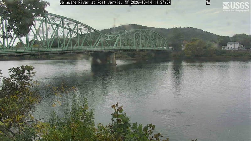
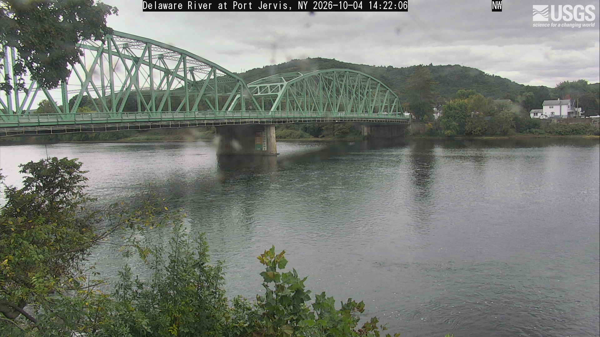
A wide river and green metal bridge below a wooded hill, with near green branches and small yellow patches on the opposite bank. Bridge and water dominate, and lens spots soften portions of the scene.
· 12:00 camera time

U.S. Geological Survey

A wide river and green metal bridge below a wooded hill, with near green branches and small yellow patches on the opposite bank. Bridge and water dominate, and lens spots soften portions of the scene.

U.S. Geological Survey

The camera’s website

East Branch Ausable River at Au Sable Forks

New York · In the daily camera check

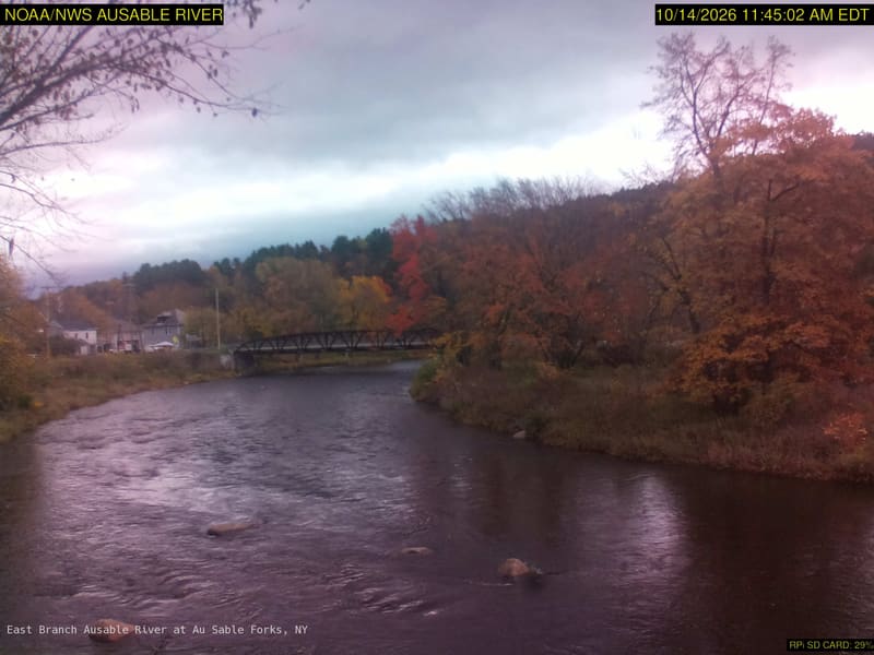
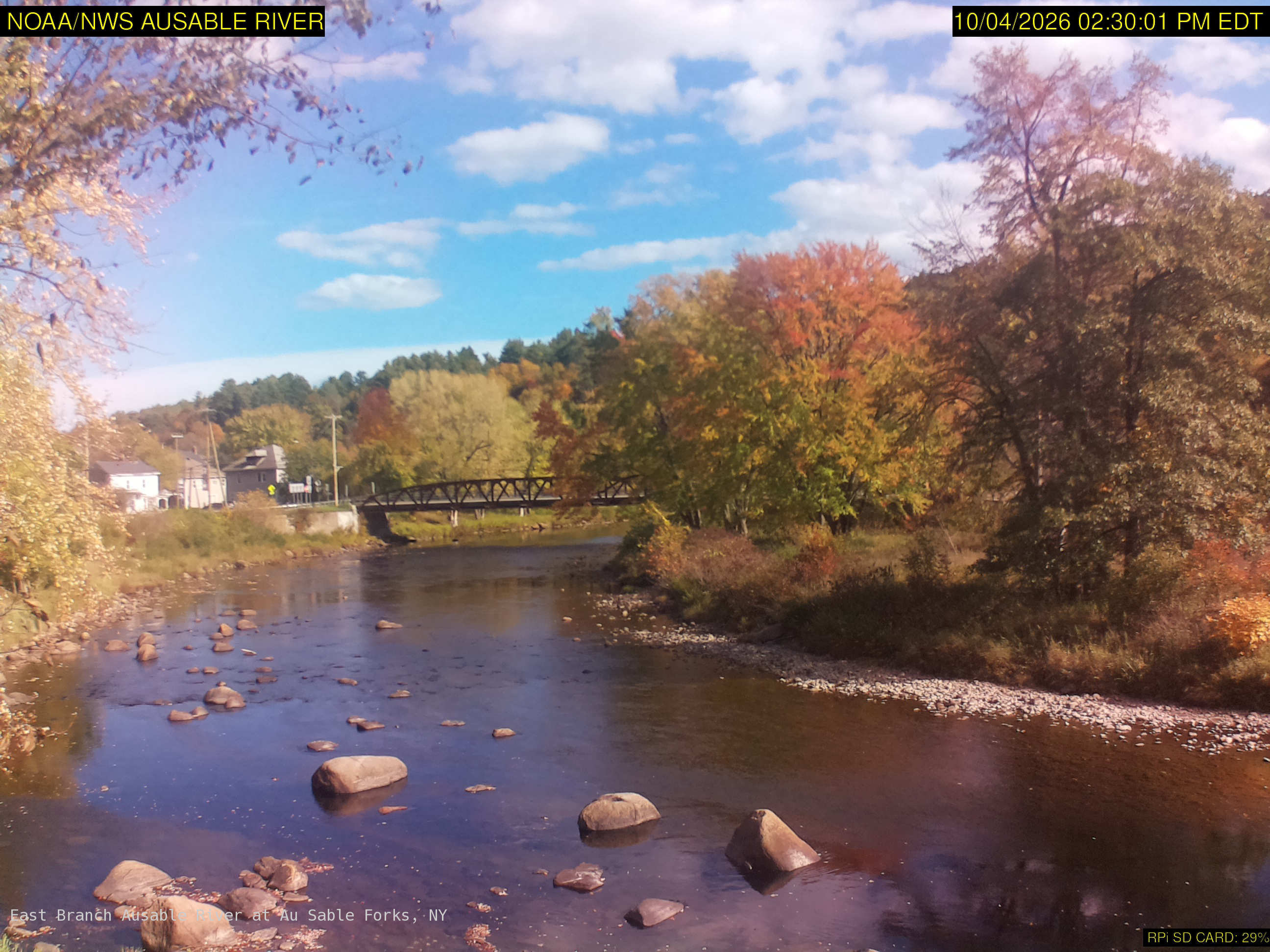
A broad rocky river with a footbridge and large yellow, orange, red and green tree crowns along both banks. Some softness remains, but broad crown color and the riverside setting are clear. The original credits NOAA/NWS; its clock is 15 minutes earlier than the USGS listing, which is a delivery timestamp here.
· 12:00 camera time

NOAA / National Weather Service

A broad rocky river with a footbridge and large yellow, orange, red and green tree crowns along both banks. Some softness remains, but broad crown color and the riverside setting are clear. The original credits NOAA/NWS; its clock is 15 minutes earlier than the USGS listing, which is a delivery timestamp here.
· 14:30 camera time

NOAA / National Weather Service

The camera’s website

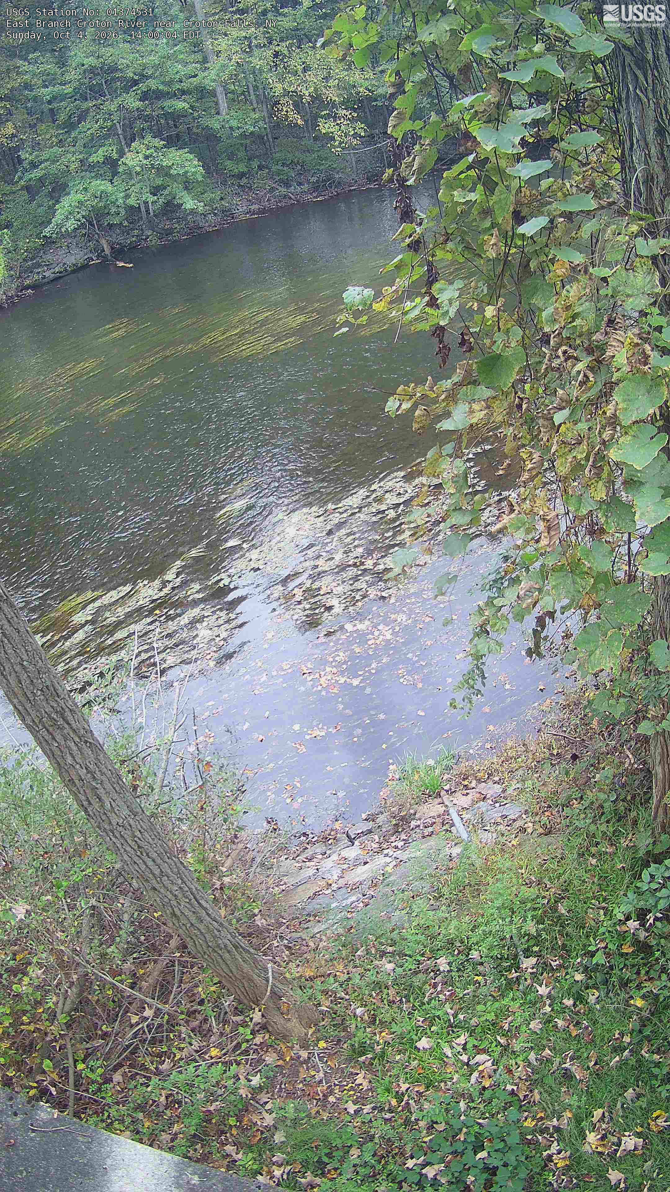
East Branch Croton River near Croton Falls

New York · In the daily camera check

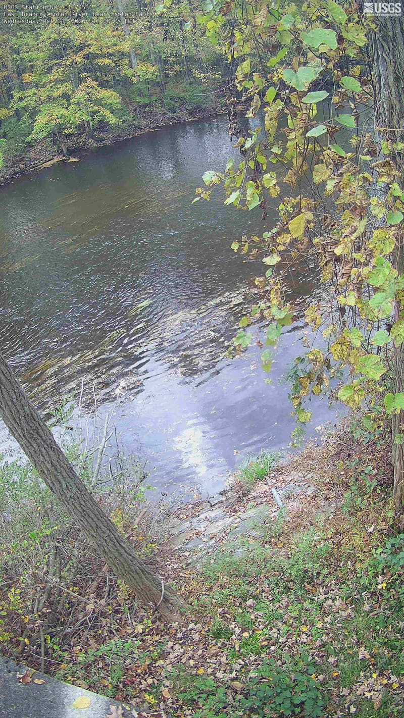
A wooded pool with broad green far-bank trees, yellowing vine leaves and close leafy branches along the right edge. The portrait view shows a local patch of woodland. Water fills much of the lower frame, and a few close leaves are dry brown.
· 12:00 camera time

U.S. Geological Survey

A wooded pool with broad green far-bank trees, yellowing vine leaves and close leafy branches along the right edge. The portrait view shows a local patch of woodland. Water fills much of the lower frame, and a few close leaves are dry brown.
· 14:00 camera time

U.S. Geological Survey

The camera’s website

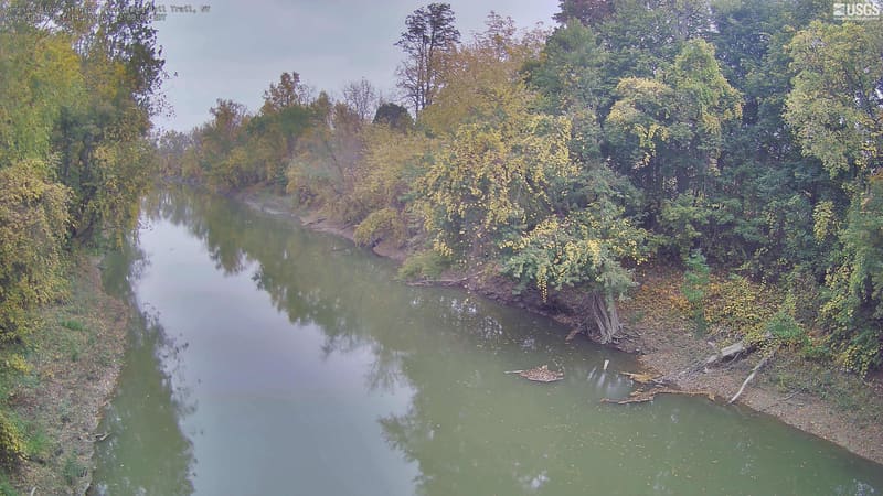
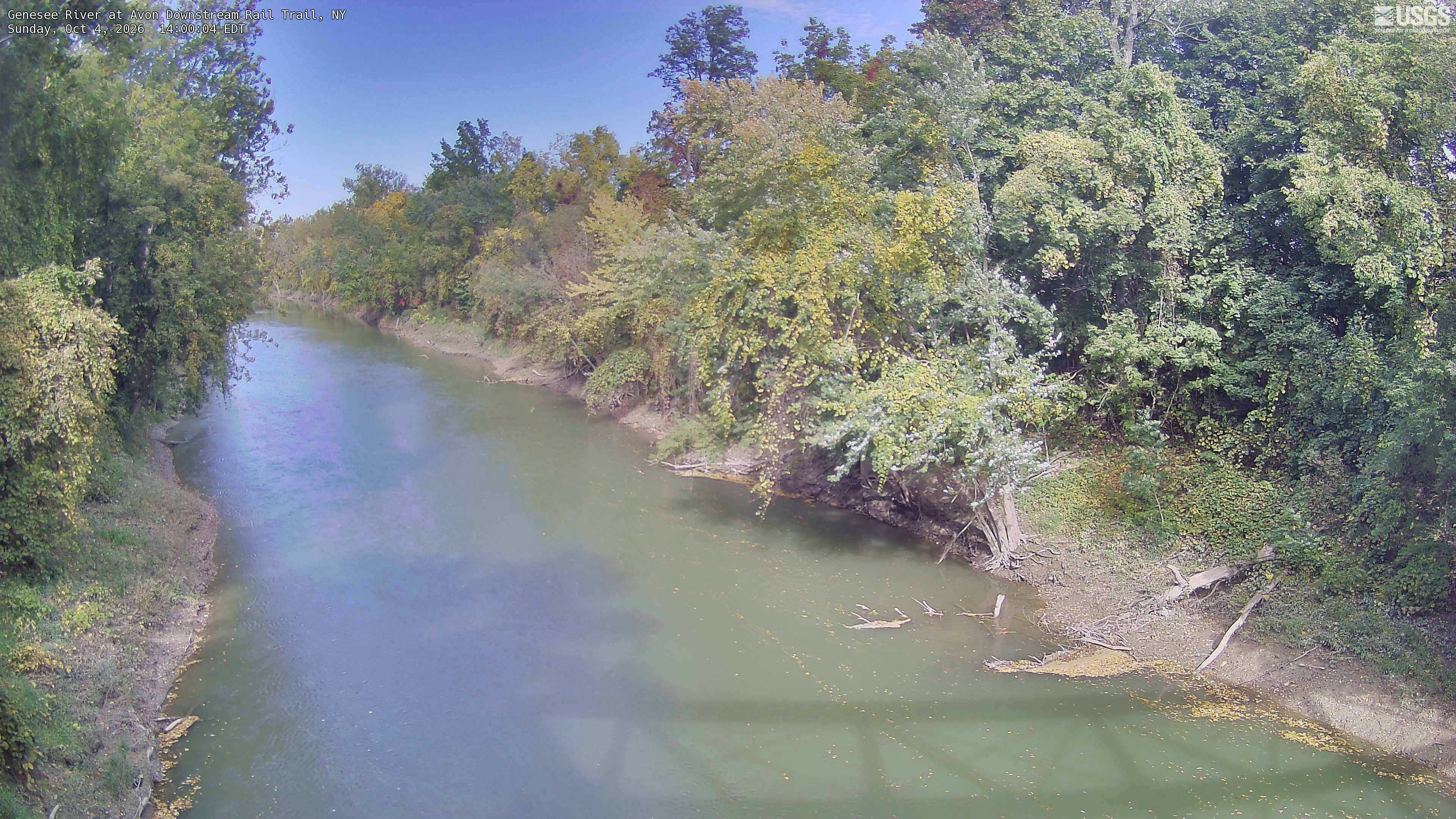
Genesee River at Avon Downstream Rail Trail

New York · In the daily camera check

A long river bend fills the center, with large, clearly readable tree crowns along both banks. Green dominates, with yellow and muted orange through the middle distance. Local riverside crowns only, with some glare on sunlit leaves; no species identification or claim about the whole Genesee valley.
· 12:00 camera time

U.S. Geological Survey

A long river bend fills the center, with large, clearly readable tree crowns along both banks. Green dominates, with yellow and muted orange through the middle distance. Local riverside crowns only, with some glare on sunlit leaves; no species identification or claim about the whole Genesee valley.
· 14:00 camera time

U.S. Geological Survey

The camera’s website

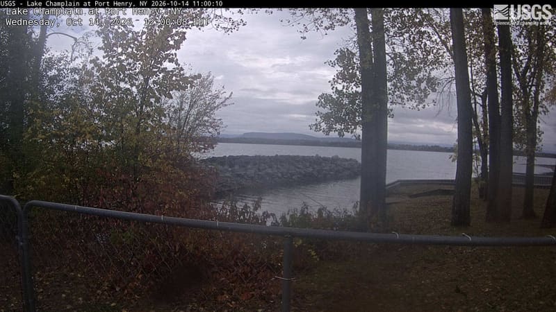
Lake Champlain at Port Henry

New York · In the daily camera check
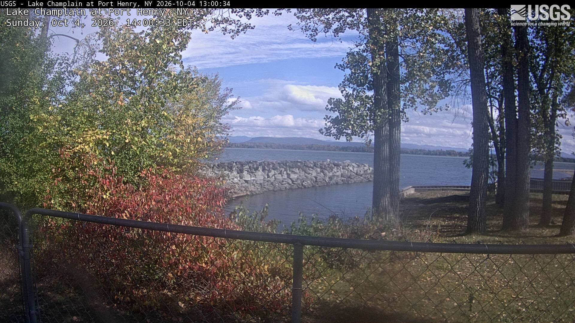
Yellowing trees and a red shrub frame a lake and distant low mountains, with large trunks and a waterfront fence in the foreground. The center has a little haze.
· 12:00 camera time

U.S. Geological Survey

Yellowing trees and a red shrub frame a lake and distant low mountains, with large trunks and a waterfront fence in the foreground. The center has a little haze.

U.S. Geological Survey

The camera’s website

Mohawk River at Freemans Bridge in Schenectady Across River View

New York · In the daily camera check

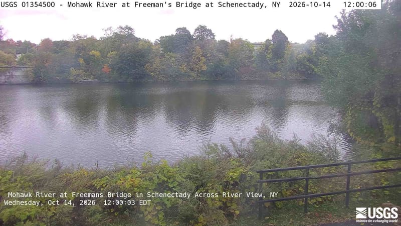
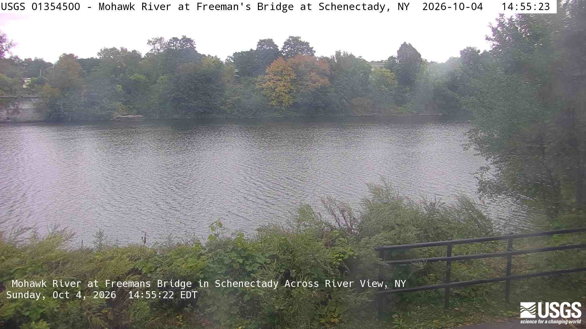
A broad far-bank row of green trees includes a clearly yellow-orange crown; close branches and a railing frame the river. Light haze and the water-filled foreground limit fine detail, but the tree crowns and their colors remain readable. The native clock differs from the provider overlay by one second.
· 12:00 camera time

U.S. Geological Survey

A broad far-bank row of green trees includes a clearly yellow-orange crown; close branches and a railing frame the river. Light haze and the water-filled foreground limit fine detail, but the tree crowns and their colors remain readable. The native clock differs from the provider overlay by one second.
· 14:55 camera time

U.S. Geological Survey

The camera’s website

Owasco Inlet below Aurora Street at Moravia Downstream

New York · In the daily camera check

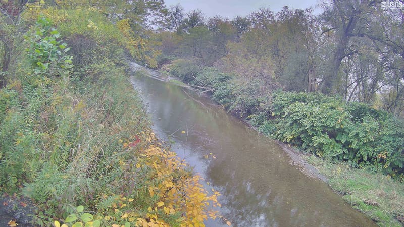
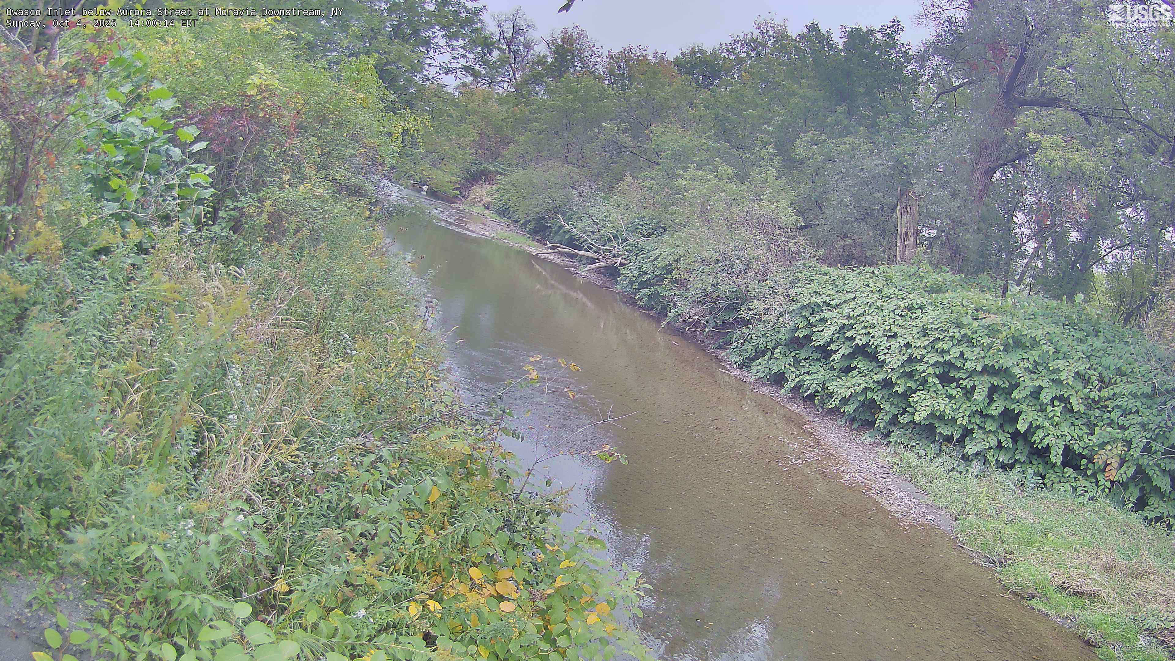
A long creek reach enclosed by dense trees and shrubs, mostly green with small yellowing branches and patches of red leaves. Light haze and low contrast soften color, but the crowns and local vegetation remain readable. Near vines and shrubs are part of the scene, not identified tree species.
· 12:00 camera time

U.S. Geological Survey

A long creek reach enclosed by dense trees and shrubs, mostly green with small yellowing branches and patches of red leaves. Light haze and low contrast soften color, but the crowns and local vegetation remain readable. Near vines and shrubs are part of the scene, not identified tree species.
· 14:00 camera time

U.S. Geological Survey

The camera’s website

Willowemoc Creek near Livingston Manor

New York · In the daily camera check

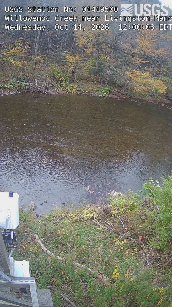
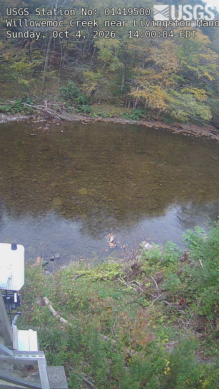
A shallow clear stream below a wooded bank, with yellowing tree branches against darker green woods. The provider original is a narrow 720-by-1280 portrait with large title text and some gauge equipment at lower left. The far-bank trees still provide a readable local foliage view.
· 12:00 camera time

U.S. Geological Survey

A shallow clear stream below a wooded bank, with yellowing tree branches against darker green woods. The provider original is a narrow 720-by-1280 portrait with large title text and some gauge equipment at lower left. The far-bank trees still provide a readable local foliage view.
· 14:00 camera time

U.S. Geological Survey

The camera’s website

Allegheny River at Franklin

Pennsylvania · In the daily camera check
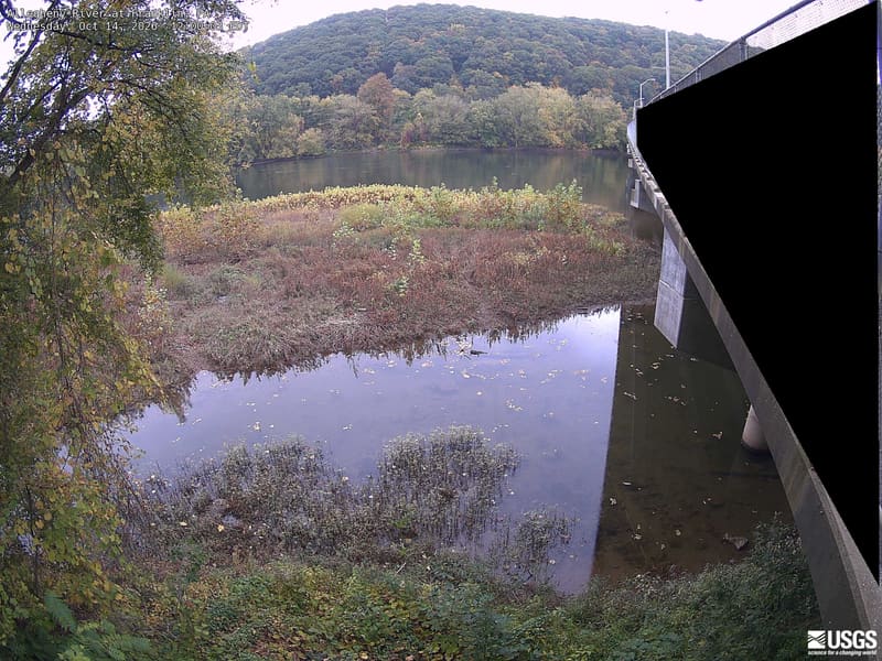
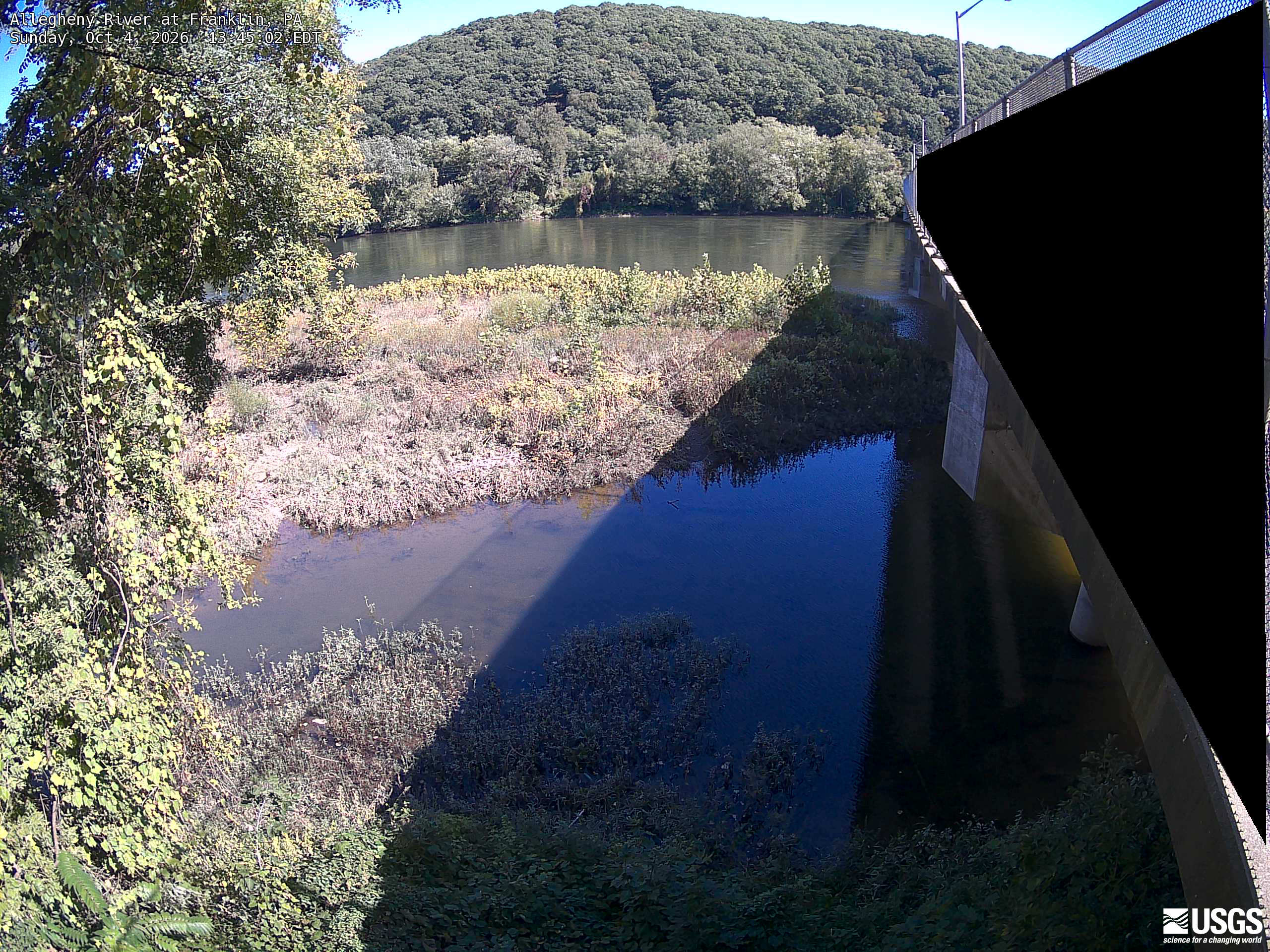
A broad wooded hill and riverbank canopy are clearly visible across the river, with close leaves at left. Most crowns remain green with scattered yellow. Strong bridge shadow and bright foreground limit colour comparison in those parts.
· 12:00 camera time

U.S. Geological Survey

A broad wooded hill and riverbank canopy are clearly visible across the river, with close leaves at left. Most crowns remain green with scattered yellow. Strong bridge shadow and bright foreground limit colour comparison in those parts.
· 13:45 camera time

U.S. Geological Survey

The camera’s website

Brandywine Creek at Chadds Ford

Pennsylvania · In the daily camera check
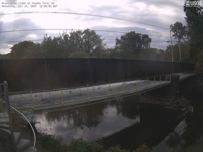
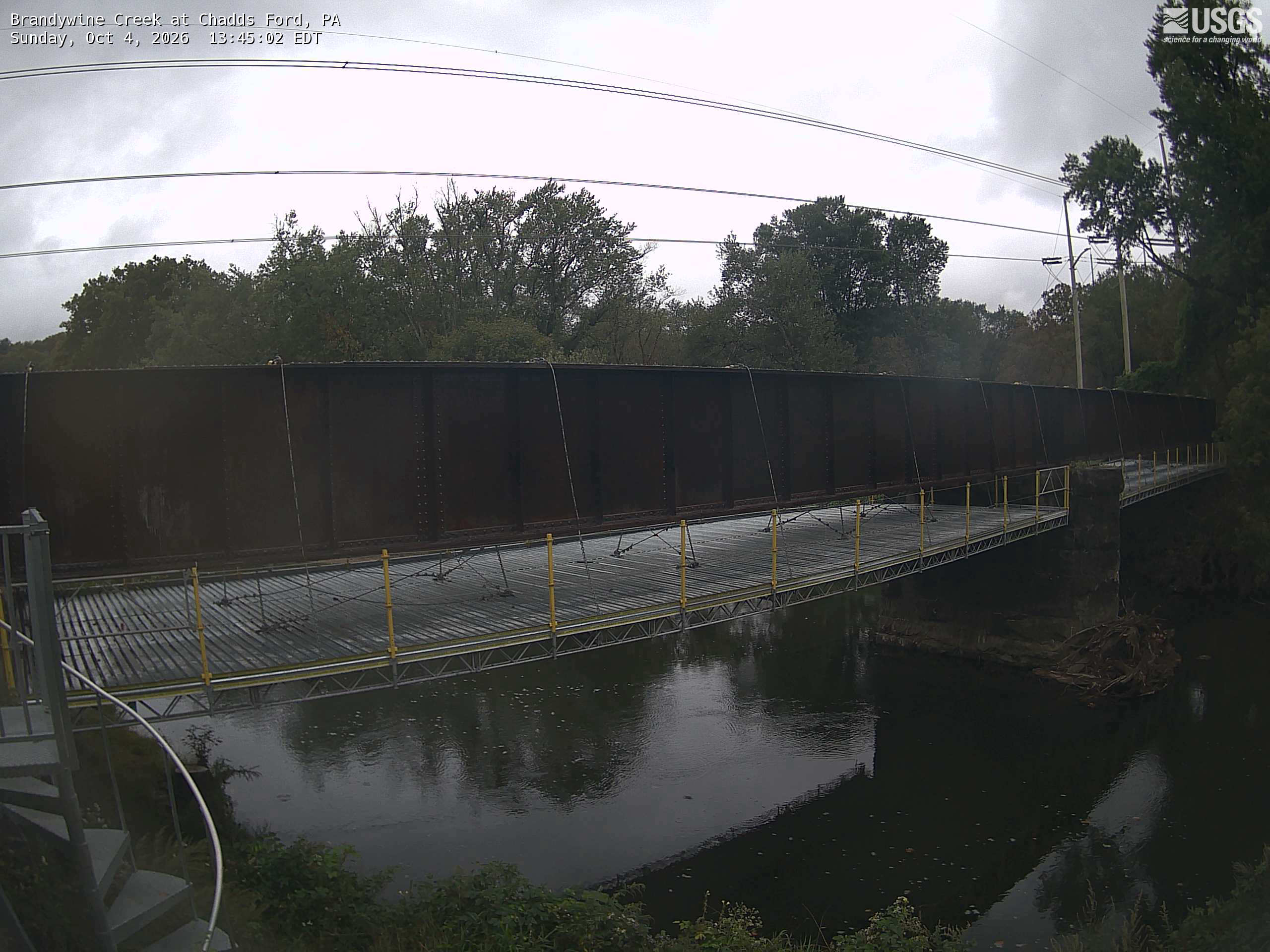
Backlit trees are visible behind a bridge that blocks much of the river and lower foliage. Shadowed crowns provide only weak colour evidence; this is a local river-and-tree context view.
· 12:00 camera time

U.S. Geological Survey

Backlit trees are visible behind a bridge that blocks much of the river and lower foliage. Shadowed crowns provide only weak colour evidence; this is a local river-and-tree context view.
· 13:45 camera time

U.S. Geological Survey

The camera’s website

East Branch Brandywine Creek below Downingtown

Pennsylvania · In the daily camera check

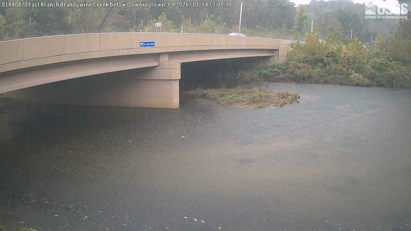
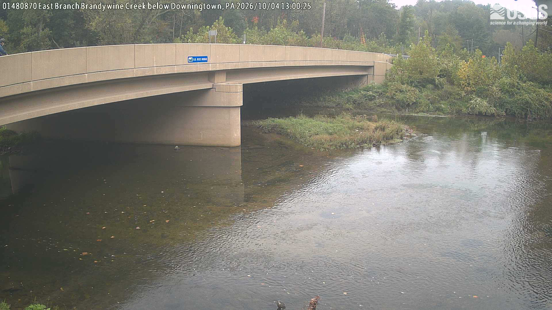
A bridge and creek dominate. Trees and shrubs behind and beside the bridge offer a restricted, hazy local green/yellow foliage view.
· 12:00 camera time

U.S. Geological Survey

A bridge and creek dominate. Trees and shrubs behind and beside the bridge offer a restricted, hazy local green/yellow foliage view.
· 13:00 camera time

U.S. Geological Survey

The camera’s website

Lackawaxen River at Hawley

Pennsylvania · In the daily camera check

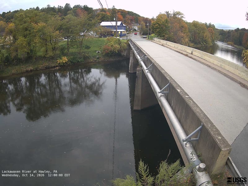
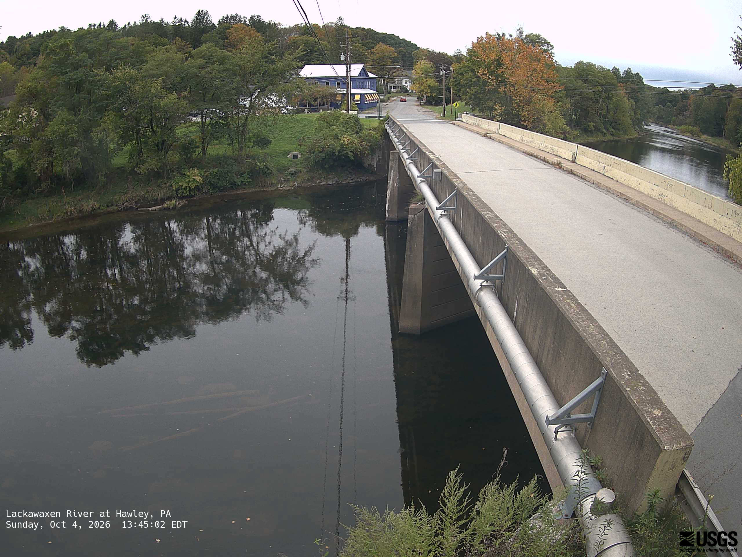
Clear trees on both riverbanks and the small hillside behind a bridge. The crowns are mainly green, with yellow and orange patches easy to see. Bridge and buildings are substantial parts of this local scene.
· 12:00 camera time

U.S. Geological Survey

Clear trees on both riverbanks and the small hillside behind a bridge. The crowns are mainly green, with yellow and orange patches easy to see. Bridge and buildings are substantial parts of this local scene.
· 13:45 camera time

U.S. Geological Survey

The camera’s website

Little Conewago Crk Gingrich Rd at Upper Lawn

Pennsylvania · In the daily camera check

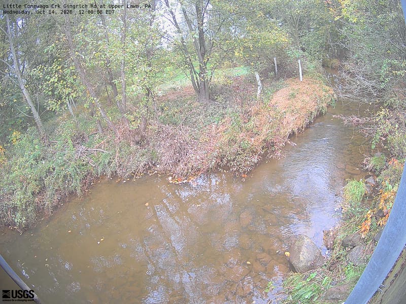
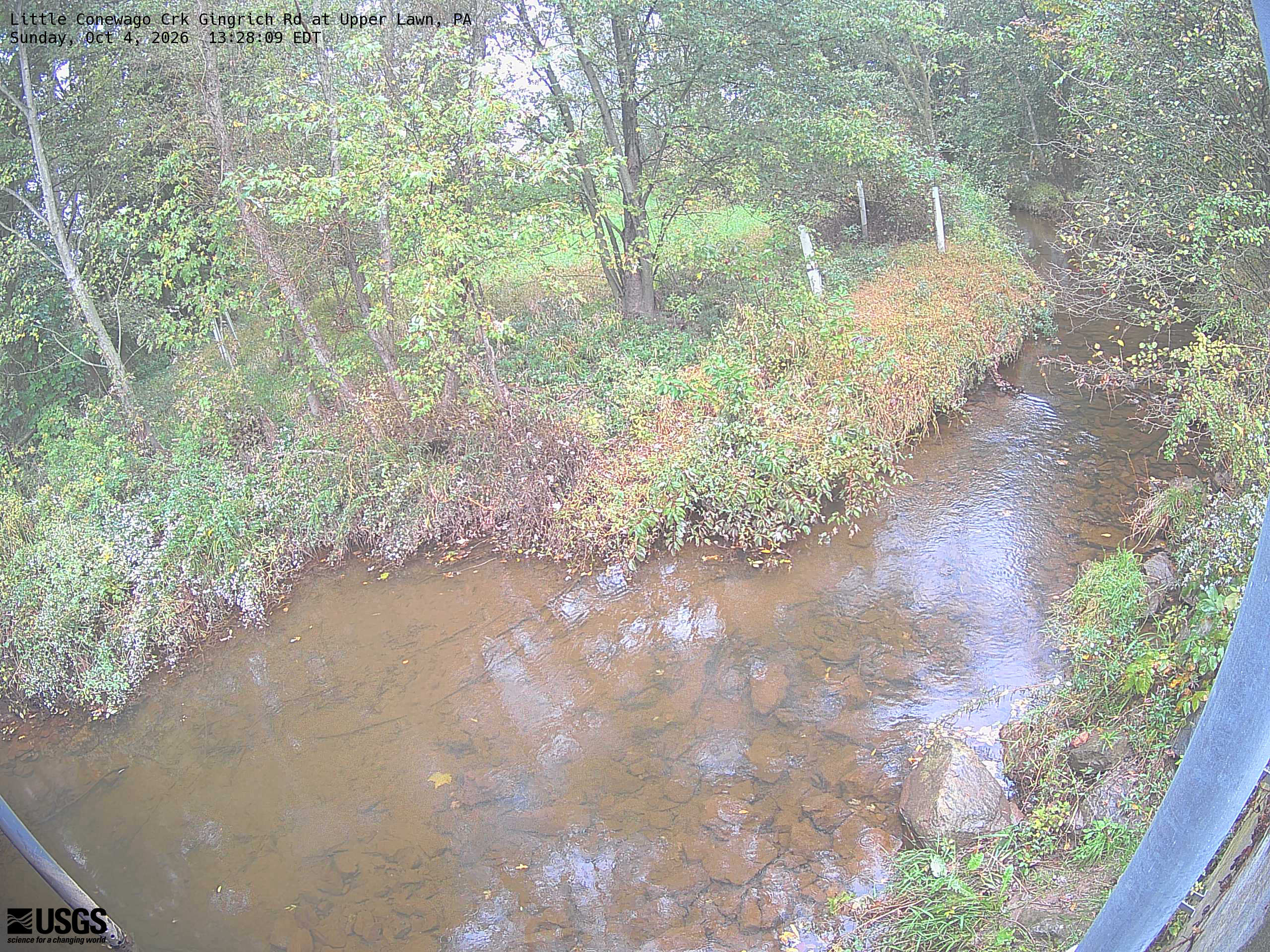
A wooded creek and nearby yellowing leaves are visible, but a washed-out exposure makes colour and fine crown detail unreliable. Local scenery context only.
· 12:00 camera time

U.S. Geological Survey

A wooded creek and nearby yellowing leaves are visible, but a washed-out exposure makes colour and fine crown detail unreliable. Local scenery context only.
· 13:28 camera time

U.S. Geological Survey

The camera’s website

Little Lehigh Creek at Tenth St Br at Allentown

Pennsylvania · In the daily camera check

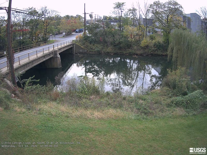
Clear urban creek banks with several trees, including a large green drooping crown at right and yellow/red patches across the road. Buildings and bridge remain prominent; the view represents this local setting.
· 12:00 camera time

U.S. Geological Survey

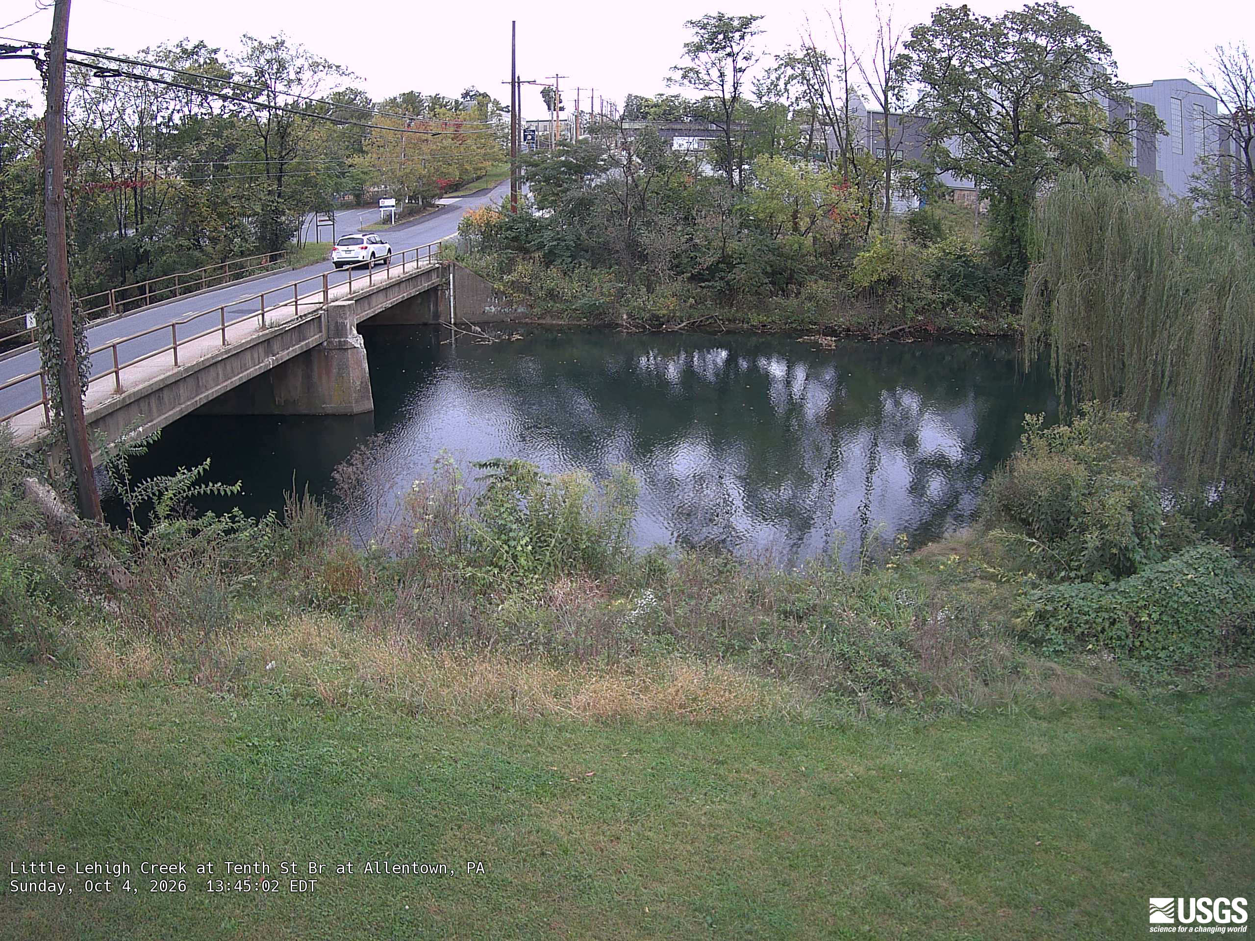
Clear urban creek banks with several trees, including a large green drooping crown at right and yellow/red patches across the road. Buildings and bridge remain prominent; the view represents this local setting.
· 13:45 camera time

U.S. Geological Survey

The camera’s website

Monongahela R at Point State Park at Pittsburgh

Pennsylvania · In the daily camera check

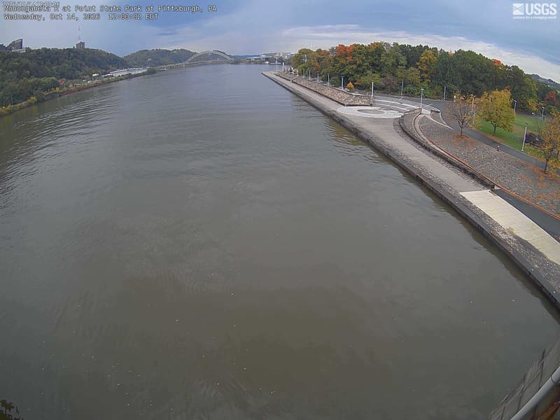
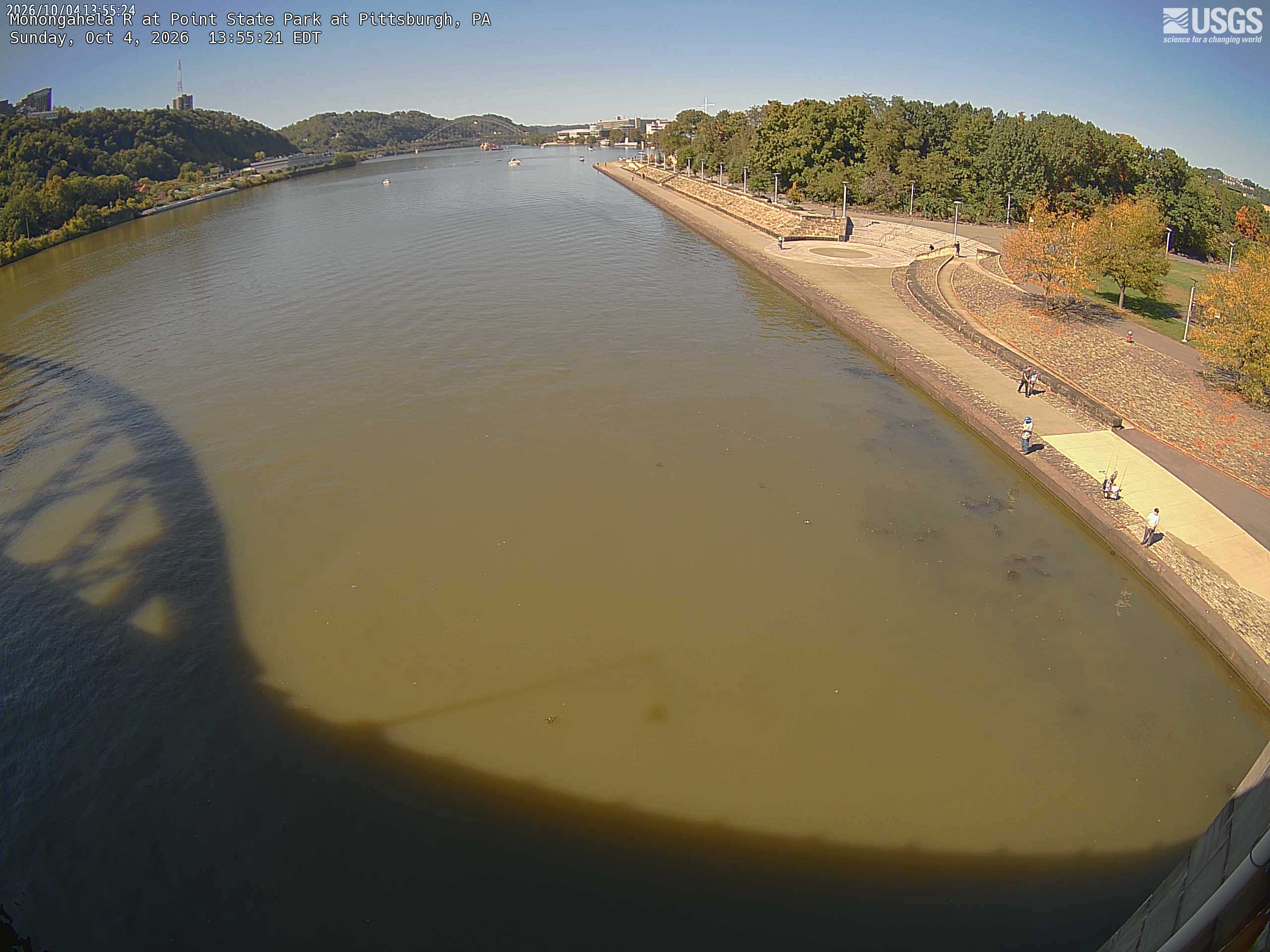
The river dominates, but the nearby park trees and wooded opposite slope are legible, with green crowns and several yellow/orange trees. The picture supplies useful urban-river foliage context.
· 12:00 camera time

U.S. Geological Survey

The river dominates, but the nearby park trees and wooded opposite slope are legible, with green crowns and several yellow/orange trees. The picture supplies useful urban-river foliage context.
· 13:55 camera time

U.S. Geological Survey

The camera’s website

Neshaminy Creek near Langhorne

Pennsylvania · In the daily camera check

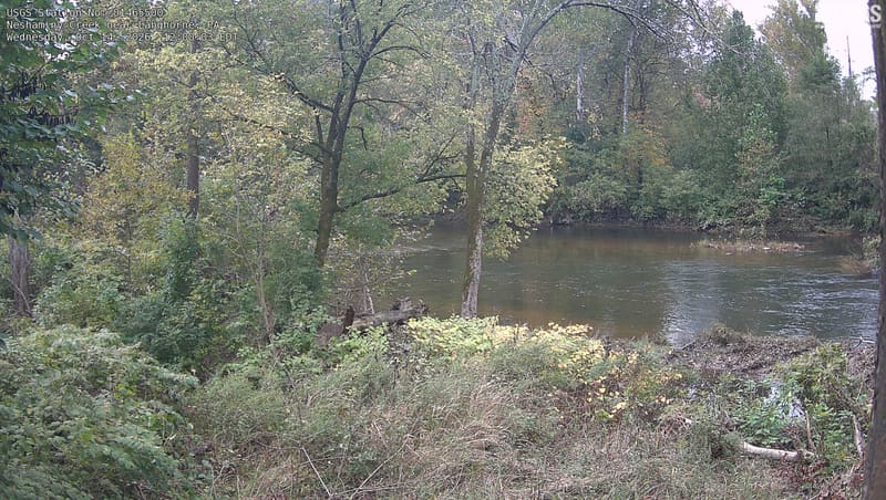
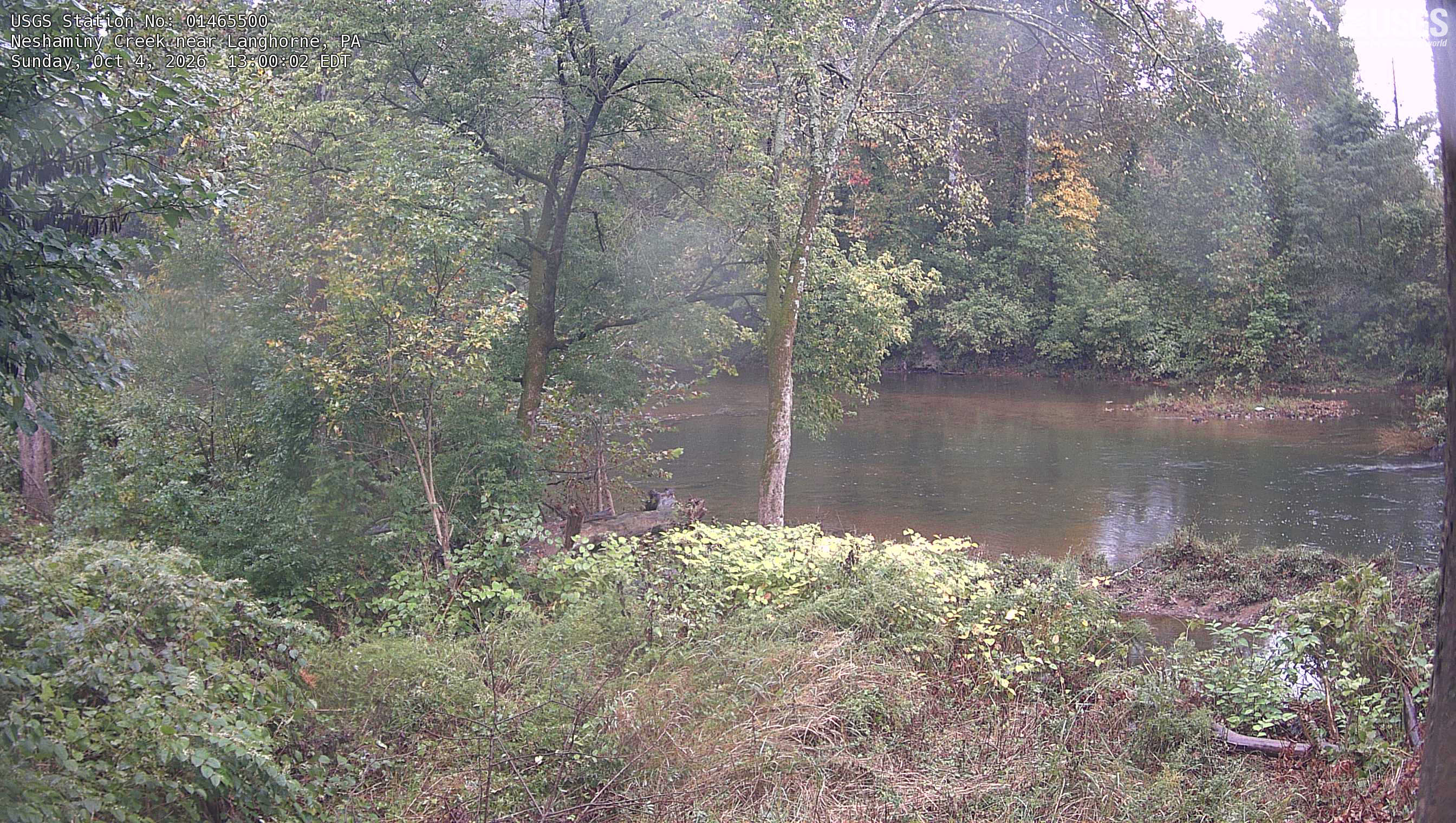
The wooded creek scene fills the frame with nearby trunks, branches and the opposite bank. Most leaves are green, with distinct yellow and orange patches. Mild bright haze at upper right does not prevent reading the scene.
· 12:00 camera time

U.S. Geological Survey

The wooded creek scene fills the frame with nearby trunks, branches and the opposite bank. Most leaves are green, with distinct yellow and orange patches. Mild bright haze at upper right does not prevent reading the scene.
· 13:00 camera time

U.S. Geological Survey

The camera’s website

Oil Creek at Rouseville

Pennsylvania · In the daily camera check

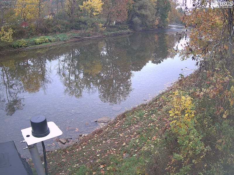
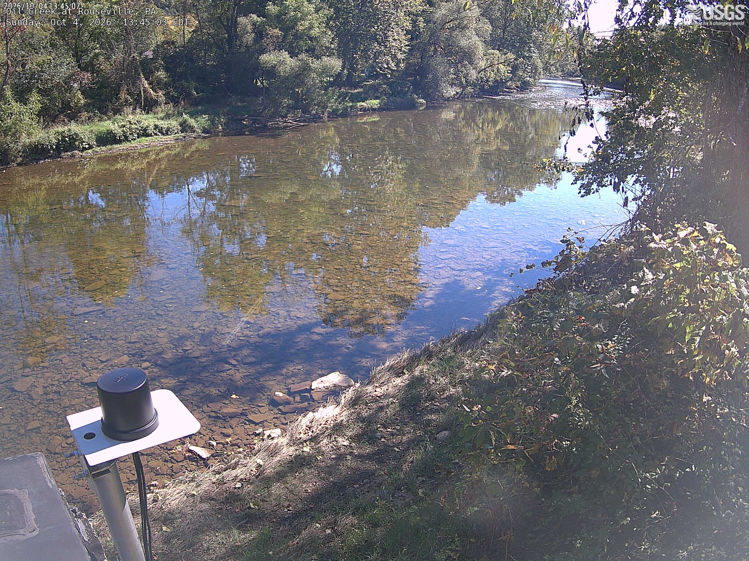
A clear wooded creek bend with green/yellow trees on the opposite bank and nearby leaves at right. Bright water reflection and deep tree shade make fine colour comparisons uneven.
· 12:00 camera time

U.S. Geological Survey

A clear wooded creek bend with green/yellow trees on the opposite bank and nearby leaves at right. Bright water reflection and deep tree shade make fine colour comparisons uneven.
· 13:45 camera time

U.S. Geological Survey

The camera’s website

Pine Creek at Grant Avenue at Etna

Pennsylvania · In the daily camera check

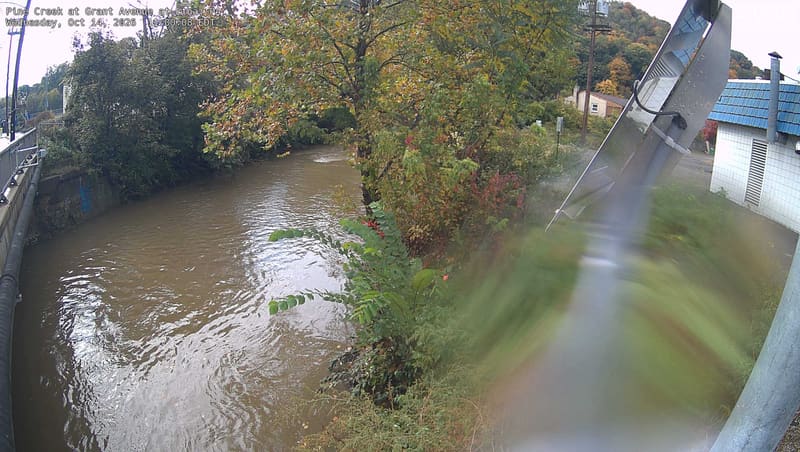
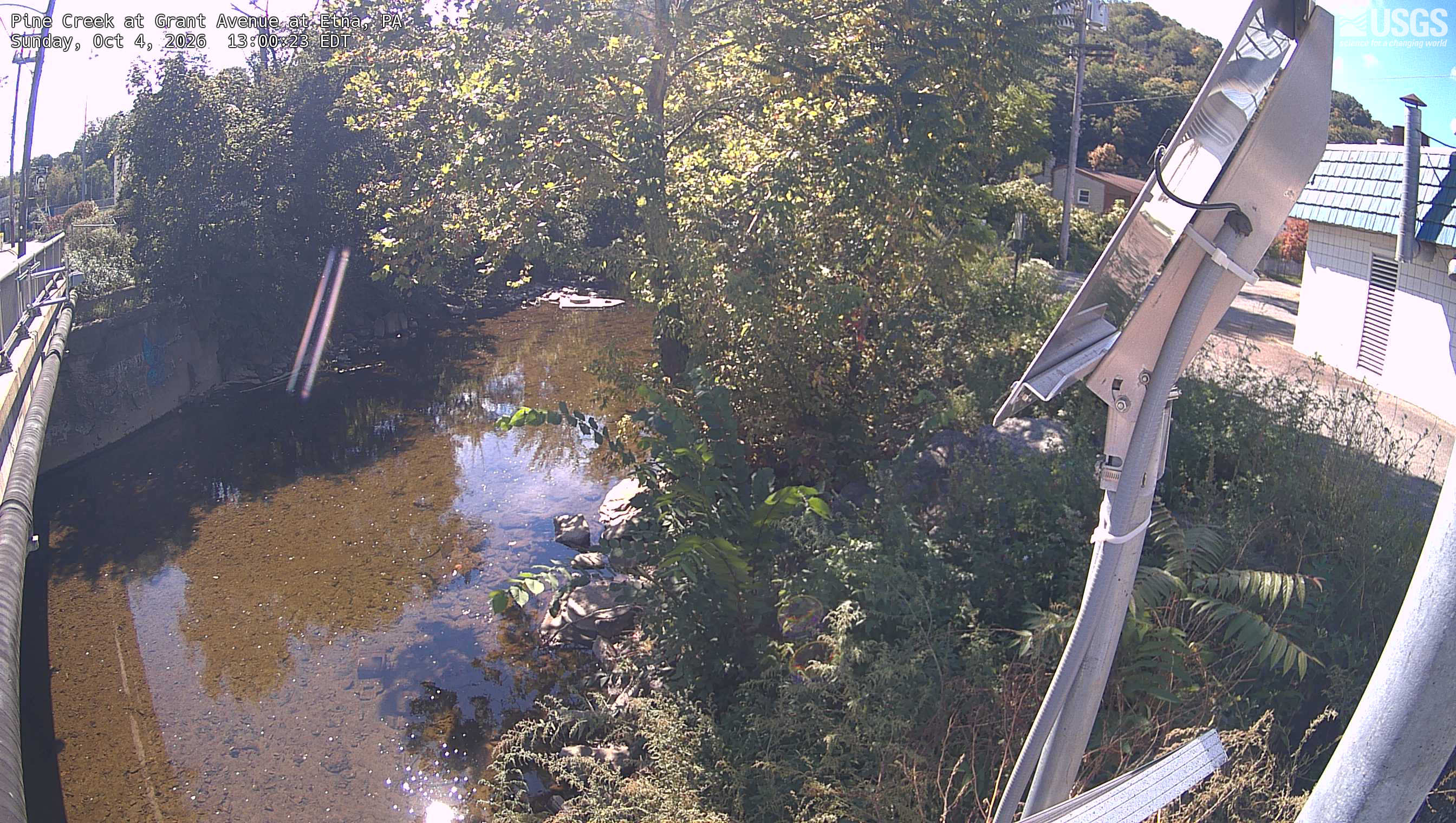
Clear nearby green/yellow crowns above an urban creek, with a wooded slope behind. A solar panel and building occupy the right and a narrow lens flare crosses the left; the central leaves remain readable.
· 11:00 camera time

U.S. Geological Survey

Clear nearby green/yellow crowns above an urban creek, with a wooded slope behind. A solar panel and building occupy the right and a narrow lens flare crosses the left; the central leaves remain readable.
· 13:00 camera time

U.S. Geological Survey

The camera’s website

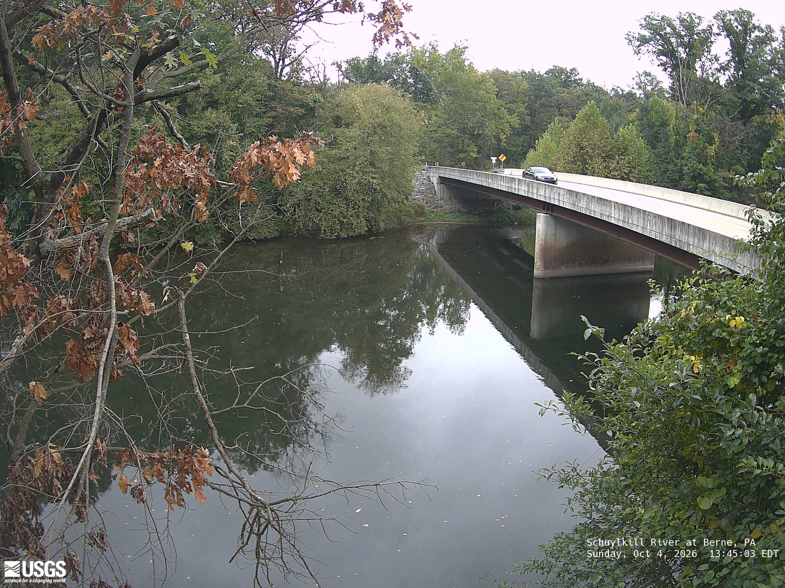
Schuylkill River at Berne

Pennsylvania · In the daily camera check

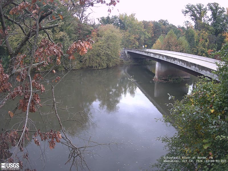
Clear wooded banks around a bridge and reflective river. Nearby leaves at left are brown and sparse; the farther canopy is predominantly green with some yellow. Those brown foreground leaves alone do not describe the whole canopy.
· 12:00 camera time

U.S. Geological Survey

Clear wooded banks around a bridge and reflective river. Nearby leaves at left are brown and sparse; the farther canopy is predominantly green with some yellow. Those brown foreground leaves alone do not describe the whole canopy.
· 13:45 camera time

U.S. Geological Survey

The camera’s website

Pictures: PhenoCam Network and the site camera operators

Acknowledgments

Flickr asks us to say:

This product uses the Flickr API but is not endorsed or certified by SmugMug, Inc.

NASA asks us to say:

We acknowledge the use of imagery provided by services from NASA's Global Imagery Browse Services (GIBS), part of NASA's Earth Science Data and Information System (ESDIS).

The PhenoCam network asks us to say:

Research at Howland Forest is supported by the Office of Science (BER), US Department of Energy, and the USDA Forest Service's Northern Research Station.

Research at the Boston Common is supported by an Emerson College Faculty Advancement Funds Grant.

Data used in this research were provided by the PhenoCam Network, which has been supported by the Northeastern States Research Cooperative, the National Science Foundation, the Long-Term Agroecosystem Research (LTAR) network supported by the United States Department of Agriculture, the National Ecological Observatory Network (NEON) program sponsored by the National Science Foundation and operated under cooperative agreement by Battelle, the U.S. Department of Energy, Oak Ridge National Laboratory managed by UT-Battelle, the U.S. National Park Service Inventory and Monitoring Program, the USA National Phenology Network, and the North Central Climate Science Center of the United States Geological Survey.

Research at Harvard Forest is partially supported through the National Science Foundation’s LTER program (DEB-1237491).

The Harvard EMS site is supported is an AmeriFlux core site supported by the AmeriFlux Management Project with funding by the U.S. Department of Energy’s Office of Science under Contract No. DE-AC02-05CH11231, and a part of the Harvard Forest LTER site supported by the National Science Foundation (DEB-1237491).

The NEON Data Usage and Citation Policy can be found at: http://data.neonscience.org/data-policy. NEON is a project sponsored by the National Science Foundation and operated under cooperative agreement by Battelle.

Logistical support is provided by the Woods Hole Research Center.

National Science Foundation (#1920908, #2222437) and USDA-NIFA (#1006997)

CUNY Advanced Science Research Center's Next Generation Environmental Sensor Lab

Research at the preserve is supported by the NSF Award #145544: Collaborative Research: IDBR: TYPE A. The NANAPHID: A novel aphid-like nanosensor network for real-time measurements of carbohydrates in live plant tissue, and the NSF MRI Award #72205: Acquisition of a Small Unmanned Aircraft System of Natural and Urban Ecosystem Studies and Risk Disaster Management

Hudson River National Estuarine Research Reserve, Hudson River Foundation, New York State Department of Environmental Conservation

Lamont Chevron Student Initiative Fund.

We acknowledge the support of the Natural Sciences and Engineering Research Council of Canada (NSERC).

Research at this site was funded by the Natural Sciences and Engineering Research Council (NSERC) of Canada, Canadian Foundation of Innovation (CFI), Ontario Ministry of Research and Innovation (MRI) and Ontario Ministry of Environment, Conservation and Parks (MECP). Support from Ontario Ministry of Natural Resources and Forestry (OMNRF), St Williams Conservation Reserve Community Council (SWCRCC), Long Point Conservation Authority (LPRCA), Whitside family and McMaster University is also acknowledged.

Temple Ambler Field Station.

Research at the Penn State Sone Valley Forest is supported by the National Science Foundation EAR 07-25019 (C. Duffy), and EAR 12-39285, EAR 13-31726 (S. Brantley) for the Susquehanna Shale Hills Critical Zone Observatory and the College of Agricultural Sciences, Department of Ecosystem Science and Management.
Study of carbon budgets in natural and disturbed wetlands in southern Québec - part of action 1.13.1.1 of the MELCCFPs 2030 Plan for a Green Economy

E.W.R. Steacie Memorial Fellowship to Mark Vellend, Natural Sciences and Engineering Research Council of Canada RGPIN and RTI grants to Mark Vellend

This research is in part sponsored by the Food Systems Research Center at the University of Vermont.

University of Vermont