
286 - 13 - Beaver Brook
Photograph ·
Photograph by newenglandphotopro · Flickr ↗ · All Rights Reserved
Walden Pond State Reservation
Massachusetts
Autumn Guide ↗ expects the peak at Boston Public Garden around . The estimate is for that one spot; slopes higher or lower nearby can turn earlier or later.
Photographs of Charles River trees and the country around it, anywhere within 25 miles of Charles River trees, newest first, with cameras around the place and beyond. Each is shown with the day it was taken.
Photograph ·
Photograph by newenglandphotopro · Flickr ↗ · All Rights Reserved
Walden Pond State Reservation
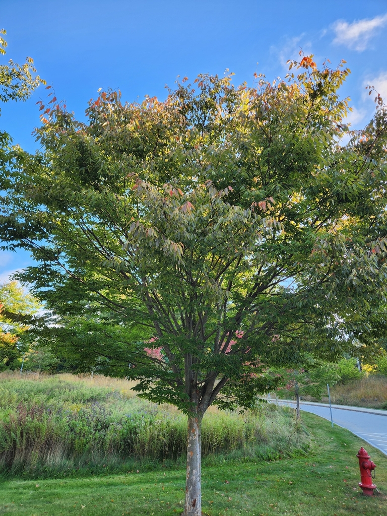
Photograph ·
Photograph by stealthmommer · iNaturalist ↗ · CC BY-NC 4.0 ↗
Hudson, Massachusetts
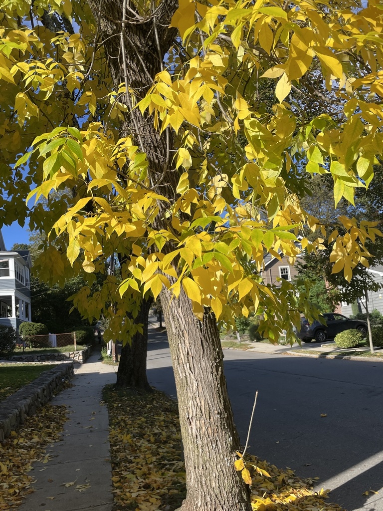
Photograph ·
Photograph by ecrow · iNaturalist ↗ · CC BY-NC 4.0 ↗
Arlington, Massachusetts
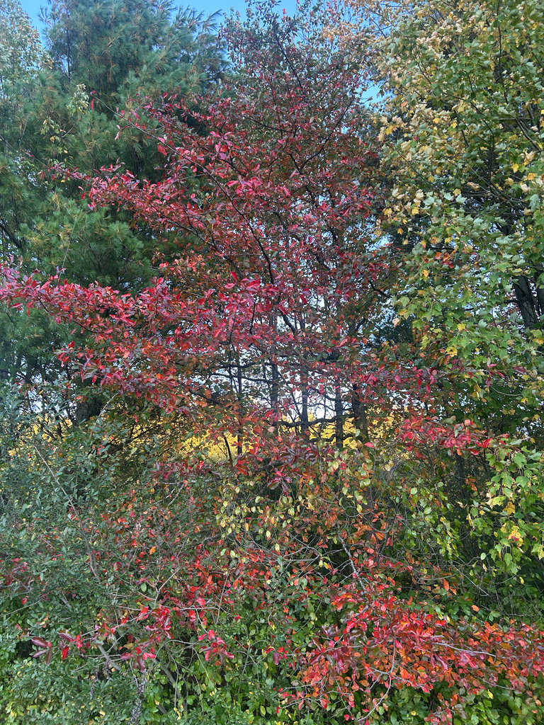
Photograph ·
Photograph by mgarvey · iNaturalist ↗ · CC BY-NC 4.0 ↗
Norfolk, Massachusetts
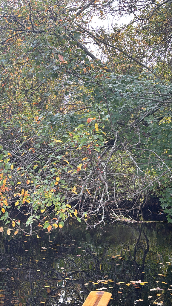
Photograph ·
Photograph by Hutker · iNaturalist ↗ · CC BY-NC 4.0 ↗
Norfolk County, Massachusetts
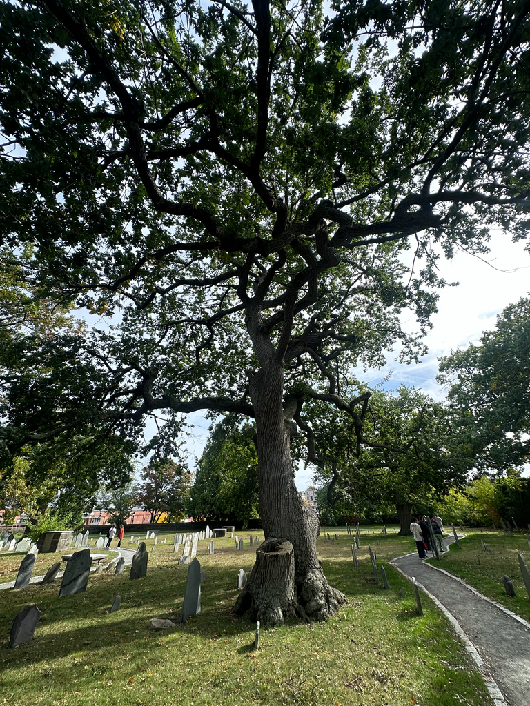
Photograph ·
Photograph by Peter Quakenbush · iNaturalist ↗ · CC BY 4.0 ↗
Salem, Massachusetts
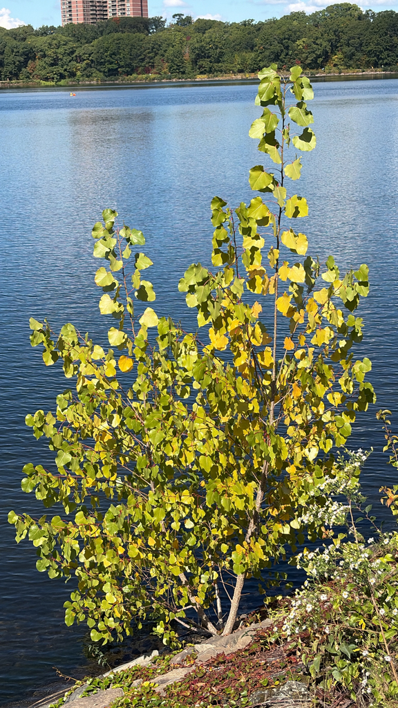
Photograph ·
Photograph by Caroline Rose · iNaturalist ↗ · CC BY-NC 4.0 ↗
Boston, Massachusetts

Photograph ·
Photograph by newenglandphotopro · Flickr ↗ · All Rights Reserved
North Tewksbury, Massachusetts
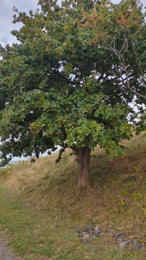
Photograph ·
Photograph by Michelle Scott · iNaturalist ↗ · CC BY-NC 4.0 ↗
Long Island, Boston Harbor, Massachusetts

Photograph ·
Photograph by Read2me · Flickr ↗ · All Rights Reserved
Lagoon and footbridge, Boston Public Garden, Massachusetts
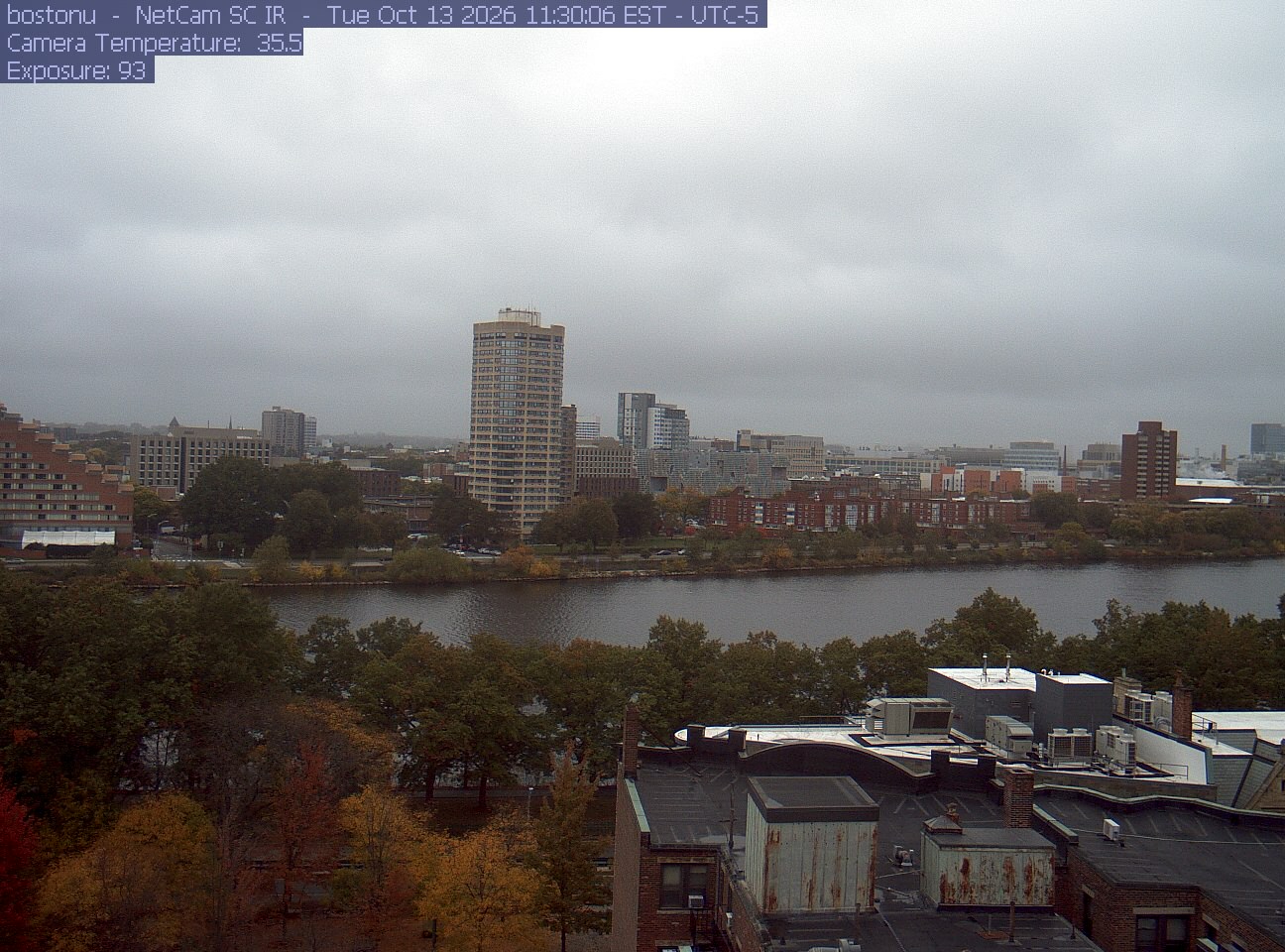
PhenoCam Network / Boston University / Charles River Esplanade
The newest saved photograph is shown first. The stills below follow the camera through the season.
PhenoCam Network / Boston University / Charles River Esplanade
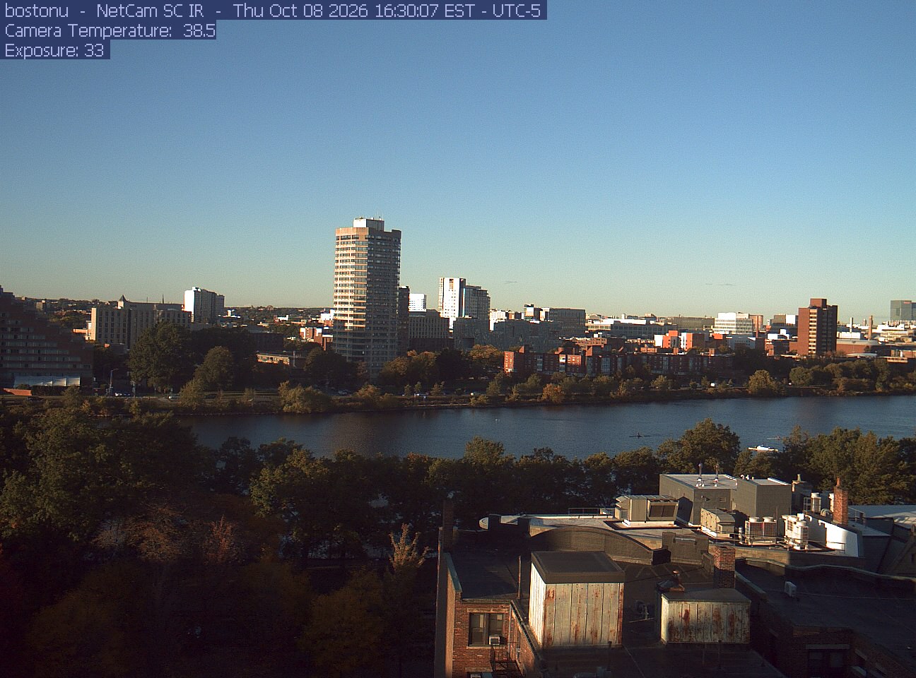
PhenoCam Network / Boston University / Charles River Esplanade
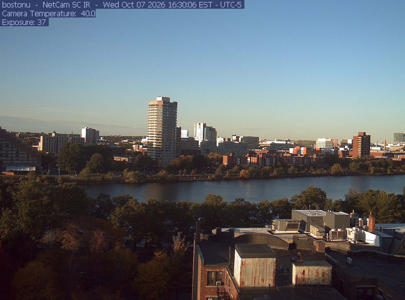
PhenoCam Network / Boston University / Charles River Esplanade
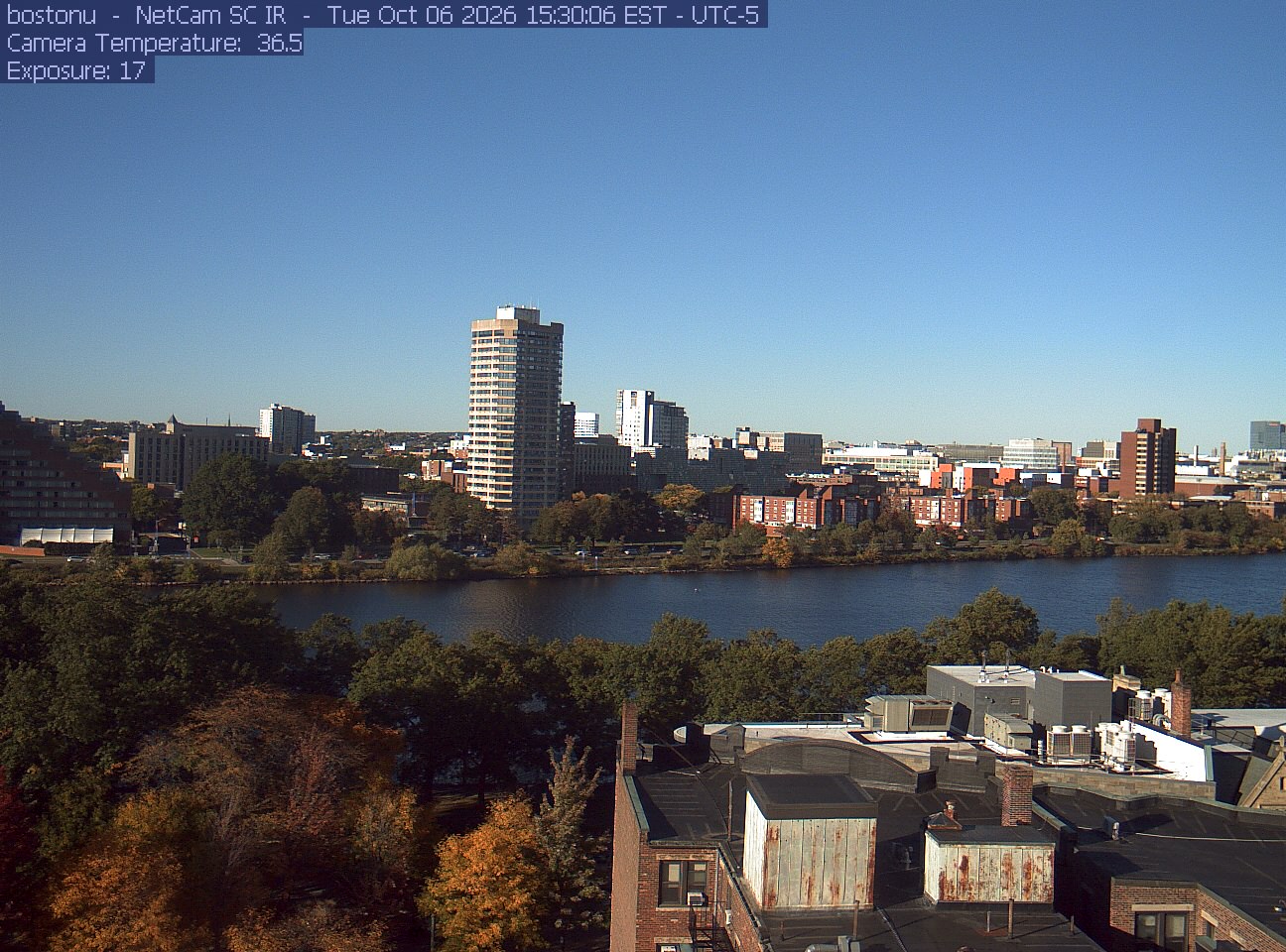
PhenoCam Network / Boston University / Charles River Esplanade
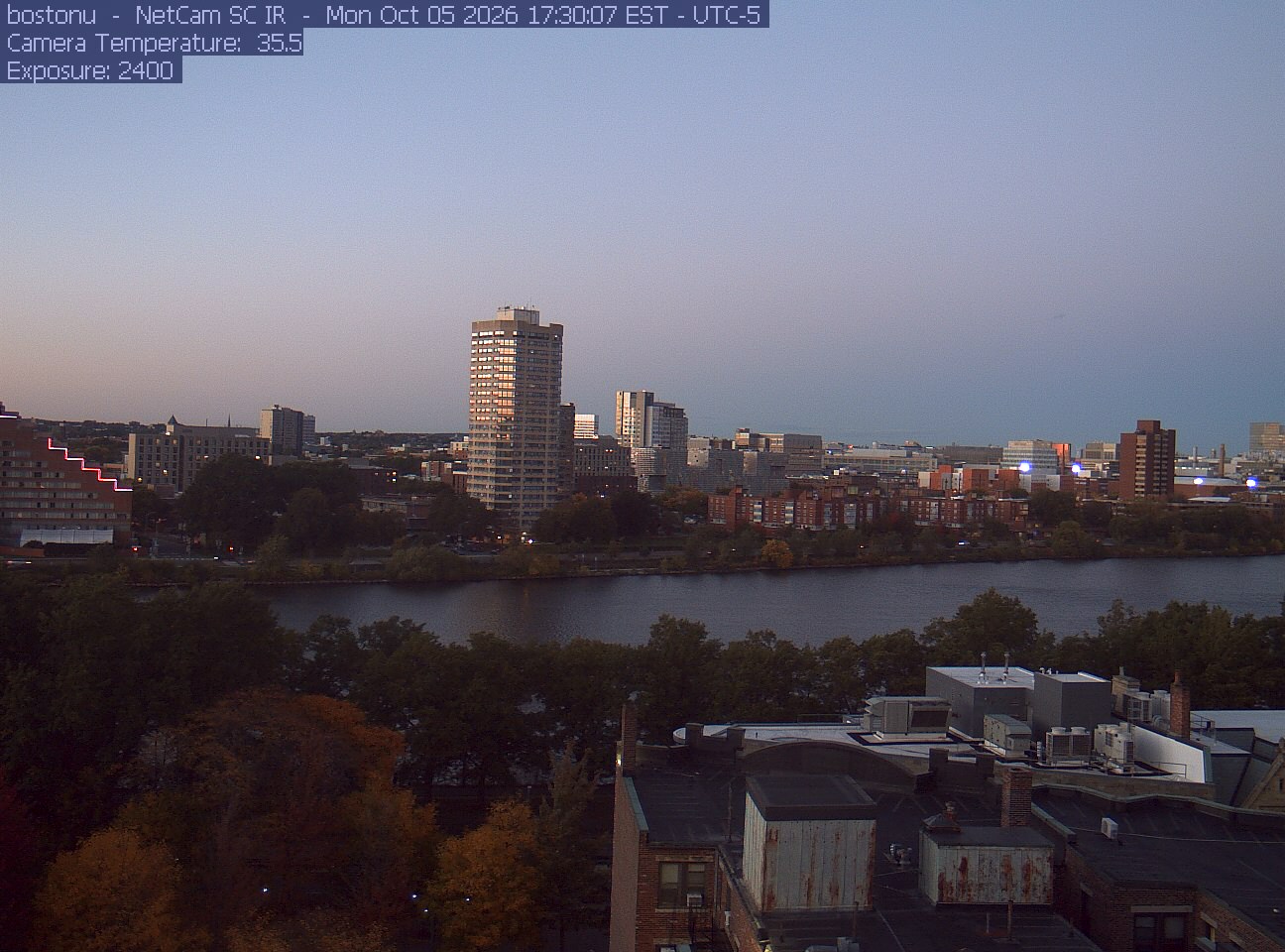
PhenoCam Network / Boston University / Charles River Esplanade
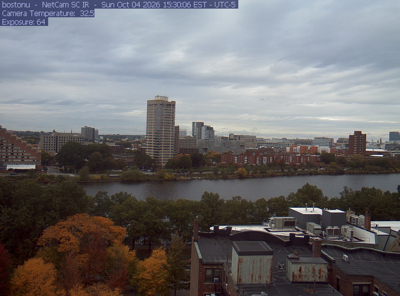
PhenoCam Network / Boston University / Charles River Esplanade
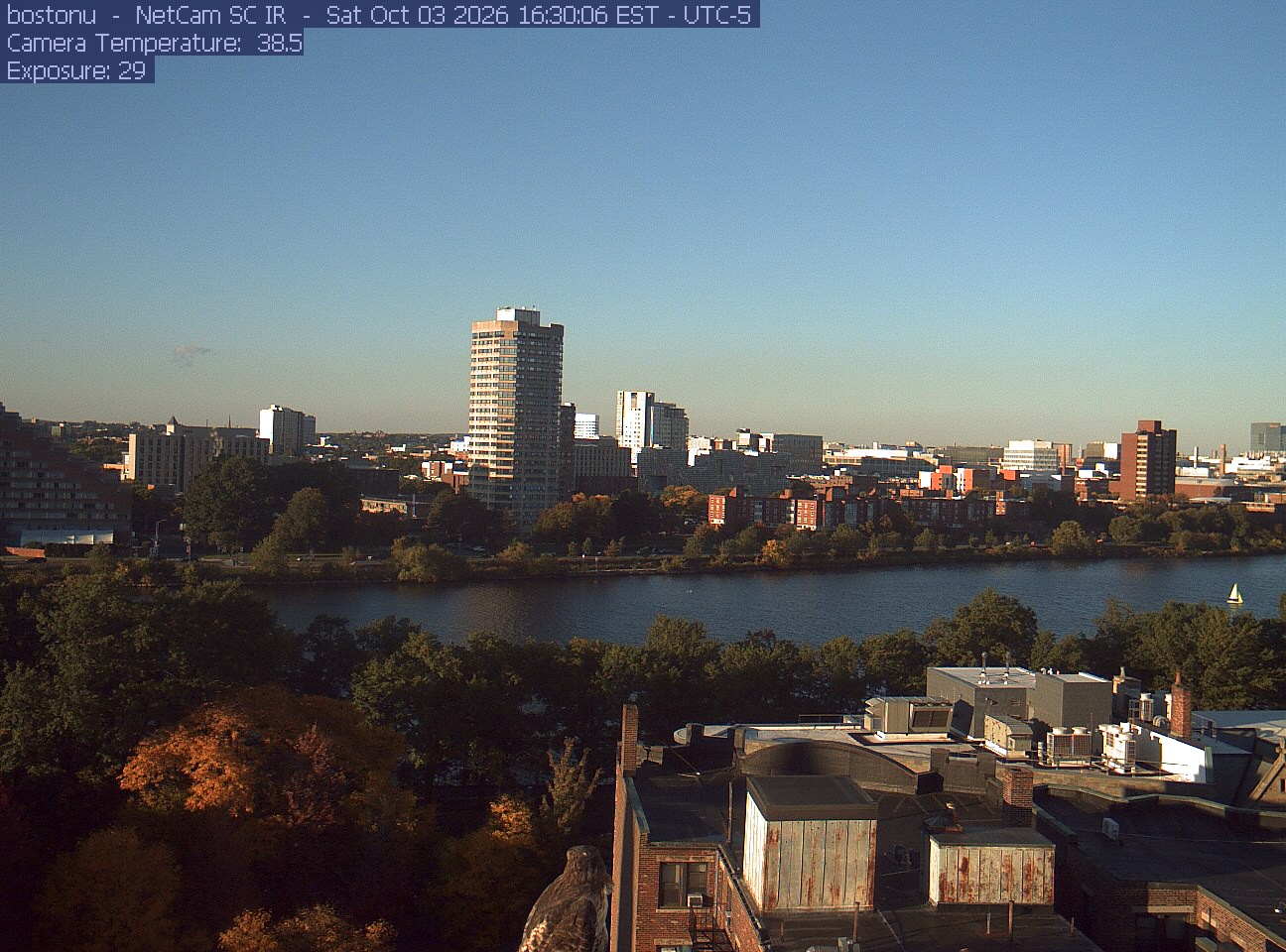
PhenoCam Network / Boston University / Charles River Esplanade
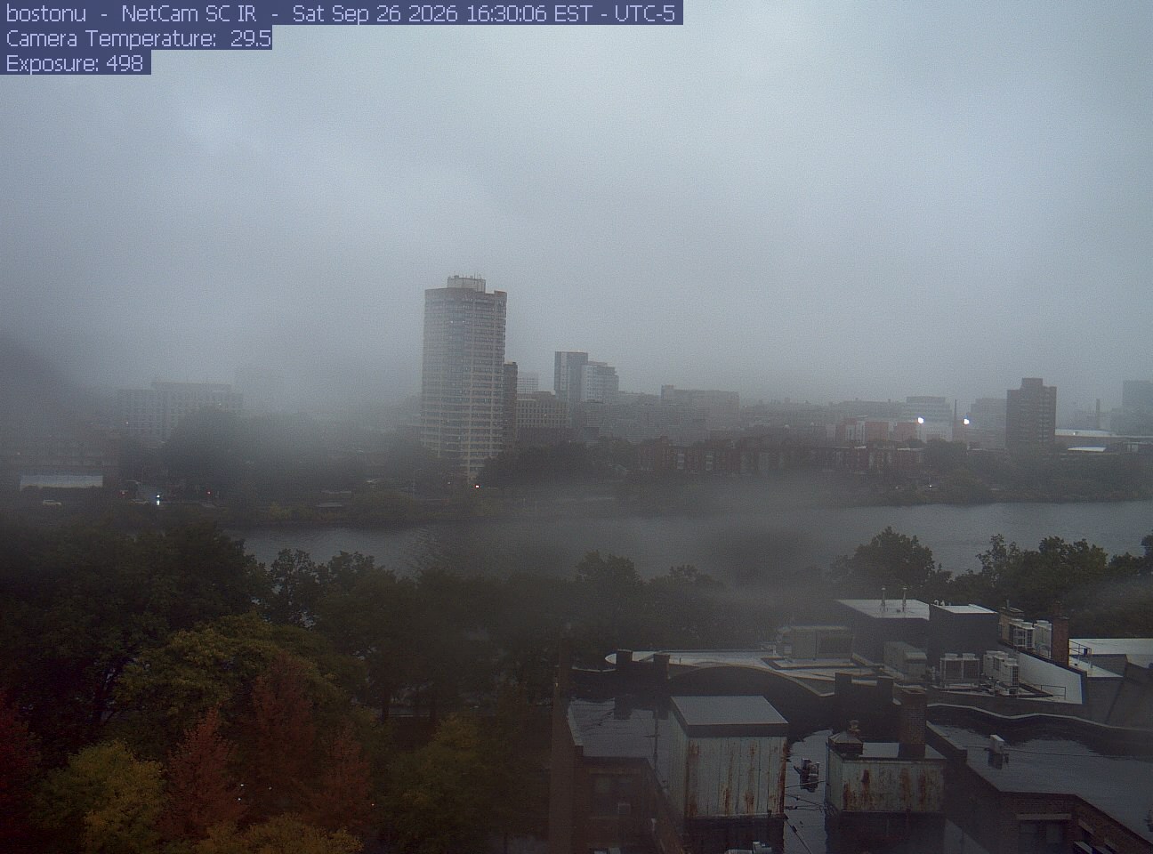
PhenoCam Network / Boston University / Charles River Esplanade
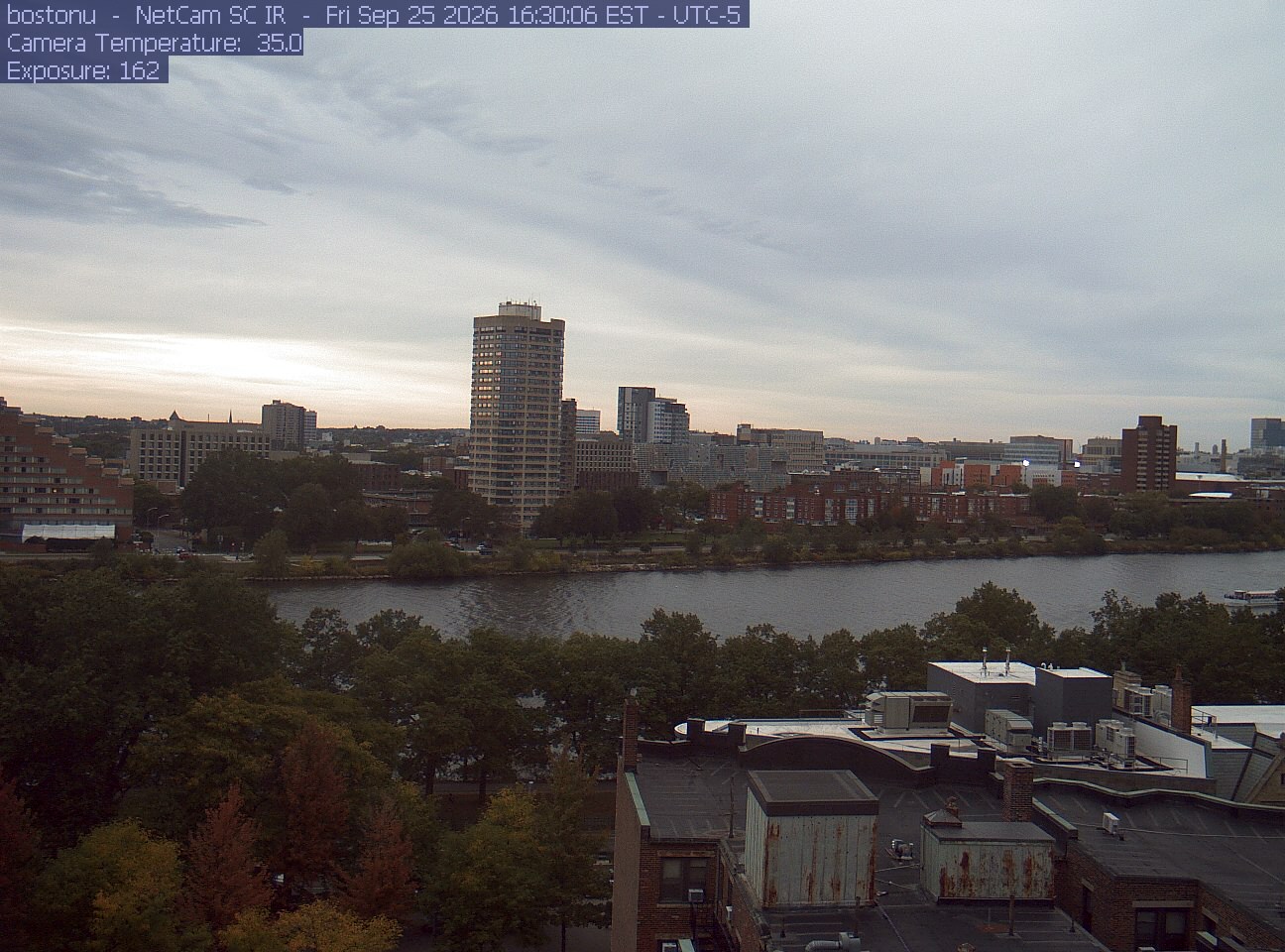
PhenoCam Network / Boston University / Charles River Esplanade
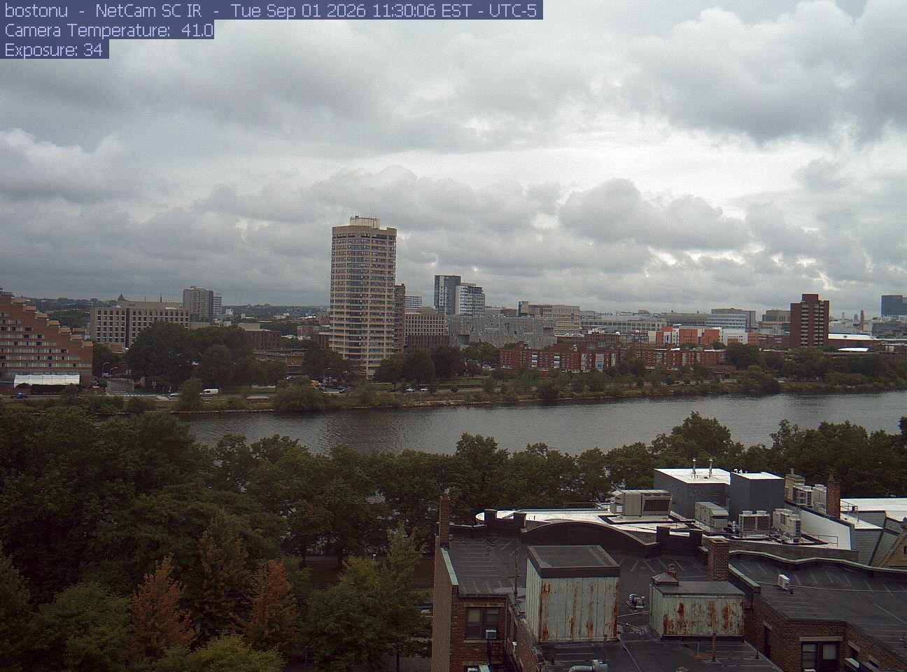
PhenoCam Network / Boston University / Charles River Esplanade
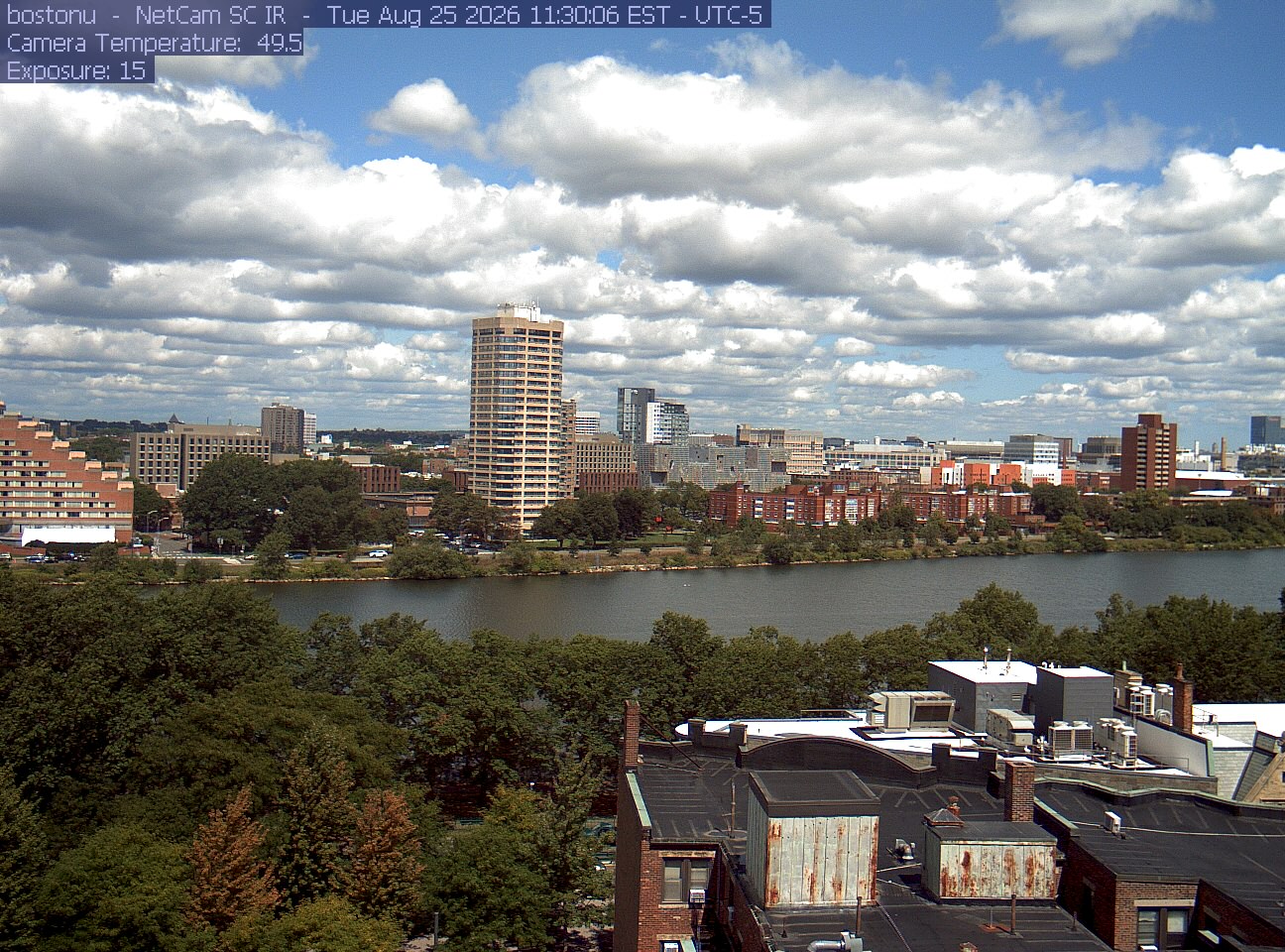
PhenoCam Network / Boston University / Charles River Esplanade
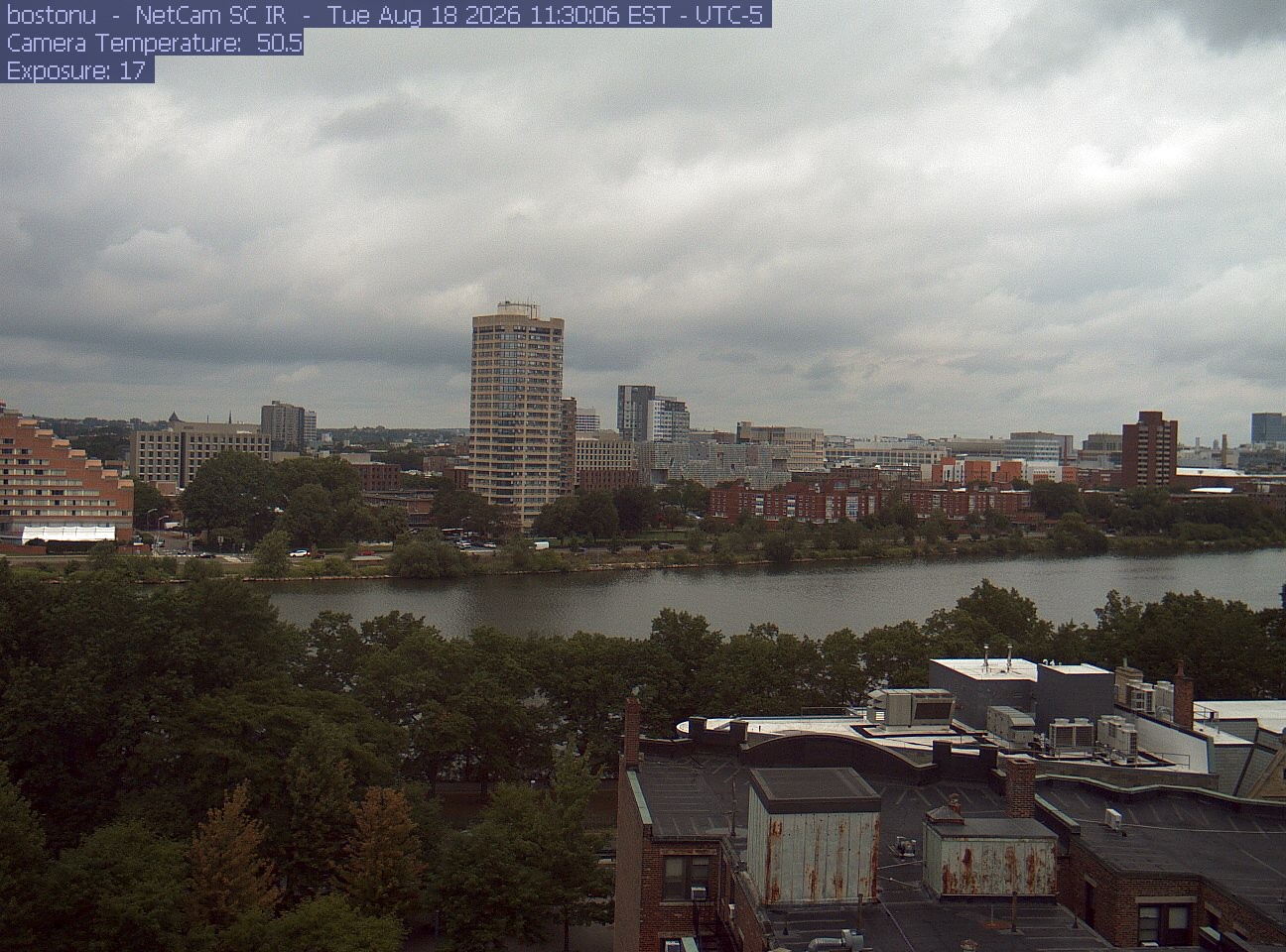
PhenoCam Network / Boston University / Charles River Esplanade

PhenoCam Network / Boston University / Charles River Esplanade
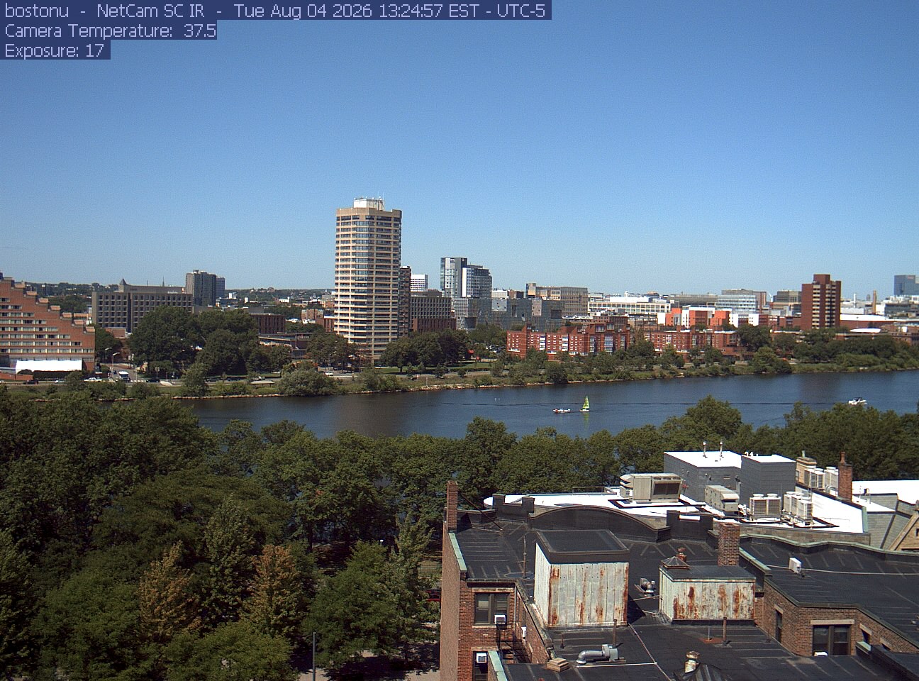
PhenoCam Network / Boston University / Charles River Esplanade
No picture from this camera is saved here; the link below opens the camera’s page, which shows the newest view.
Taken between early and mid November in an earlier year, these show how the season runs here.

Photograph ·
Photograph by Lady-bug · Flickr ↗ · All Rights Reserved
Charles River at Cambridge, Massachusetts

Photograph ·
Photograph by Wayne(小文) · Flickr ↗ · All Rights Reserved
Charles River Esplanade, Back Bay, Boston, Massachusetts

Photograph ·
Photograph by Wayne(小文) · Flickr ↗ · All Rights Reserved
Charles River Esplanade, Back Bay, Boston, Massachusetts

Photograph ·
Photograph by RiteSpring · Flickr ↗ · All Rights Reserved
Willow Pond, Mount Auburn Cemetery, Cambridge, Massachusetts
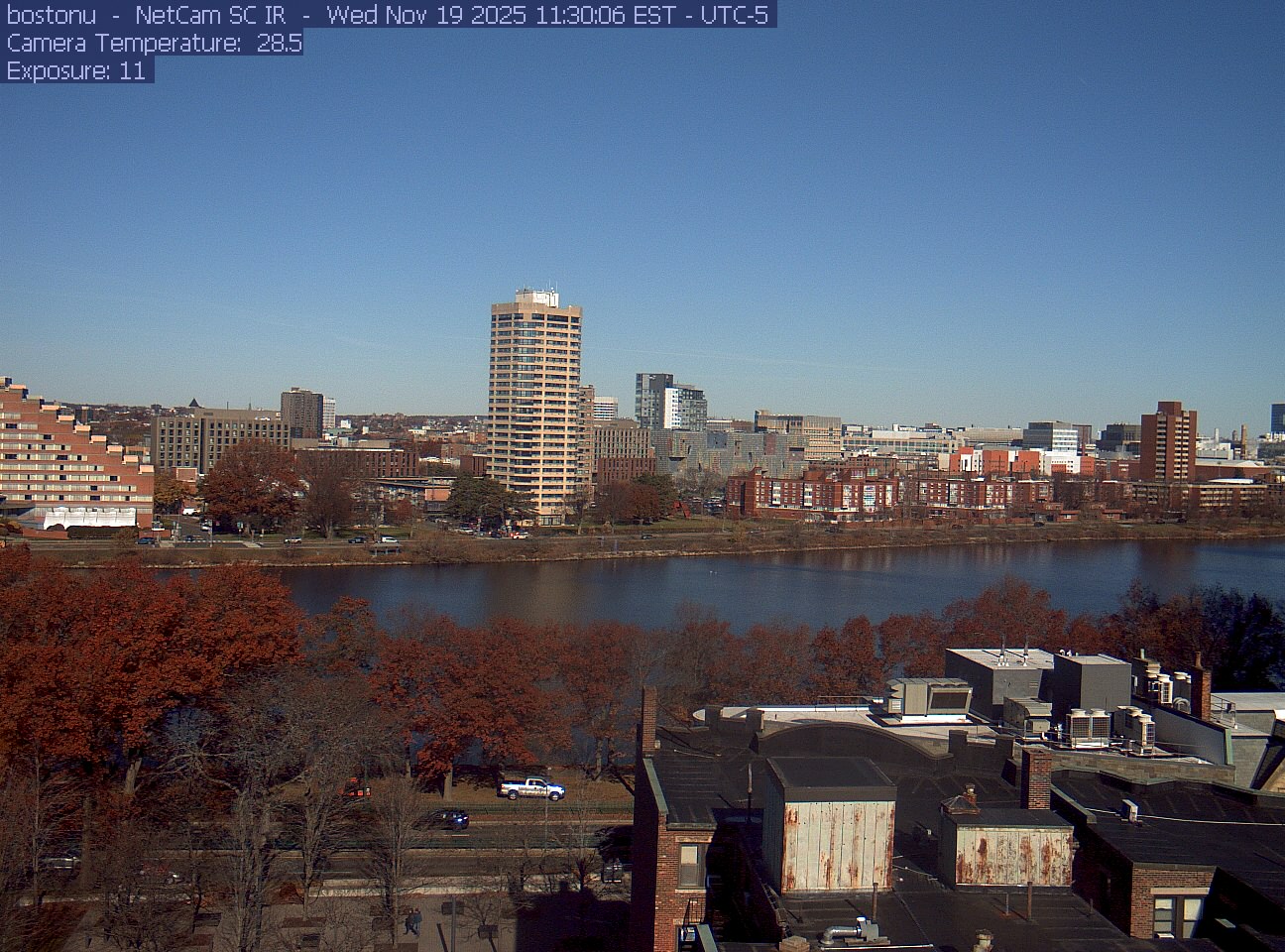
PhenoCam Network / Boston University / Charles River Esplanade
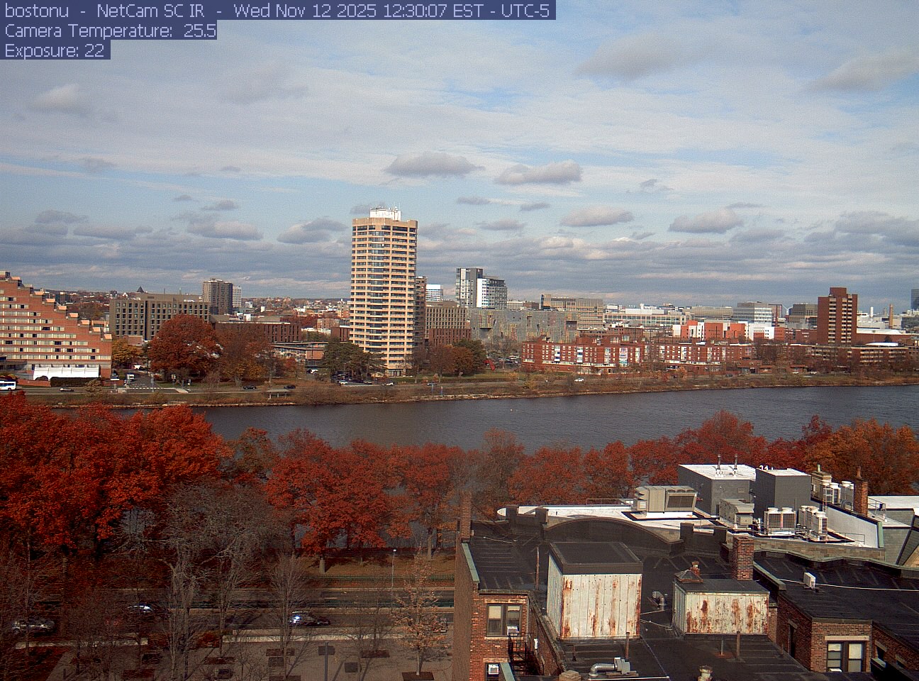
PhenoCam Network / Boston University / Charles River Esplanade
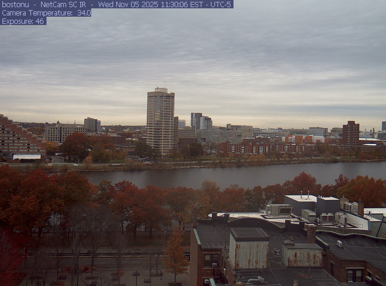
PhenoCam Network / Boston University / Charles River Esplanade
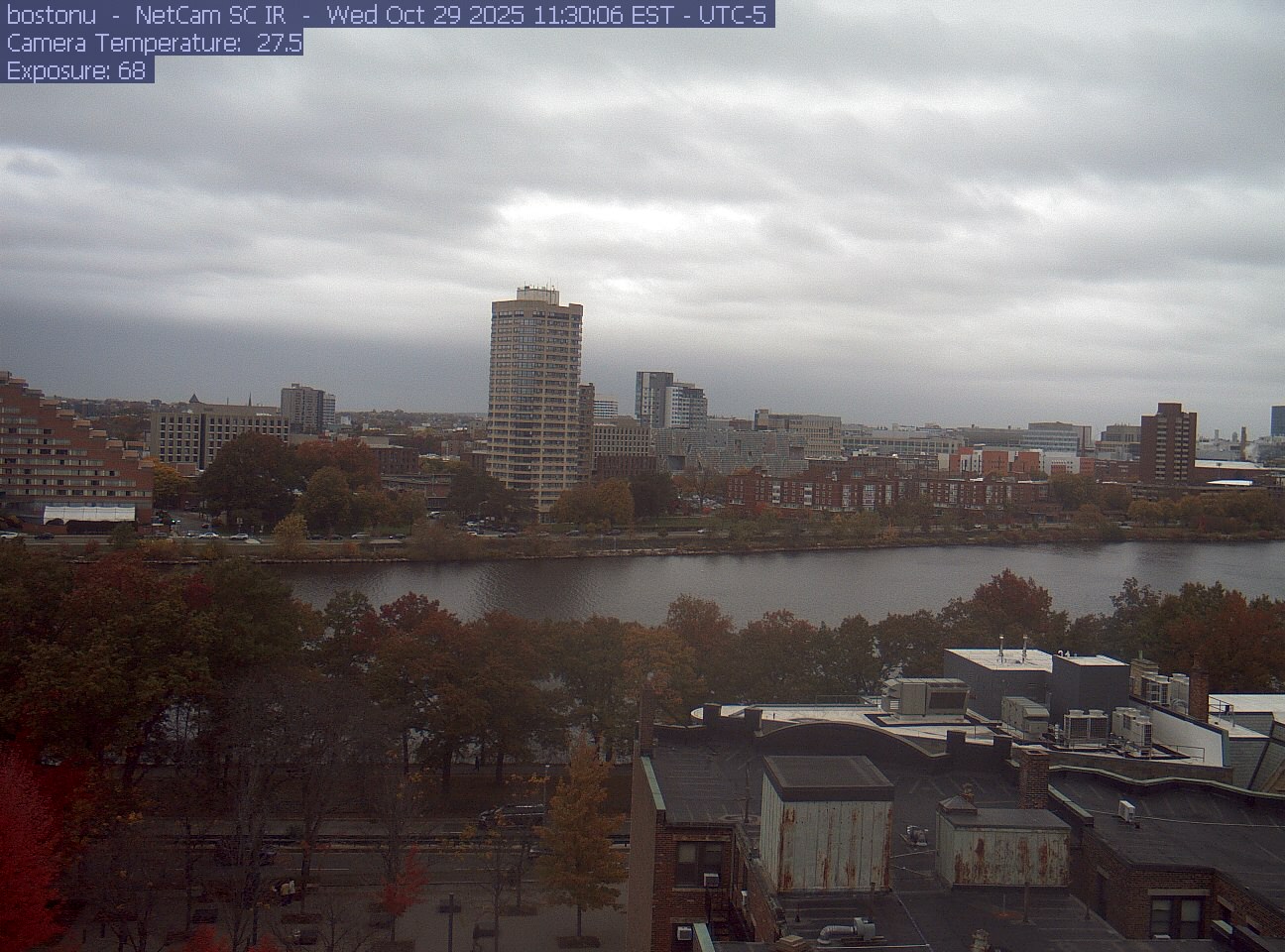
PhenoCam Network / Boston University / Charles River Esplanade
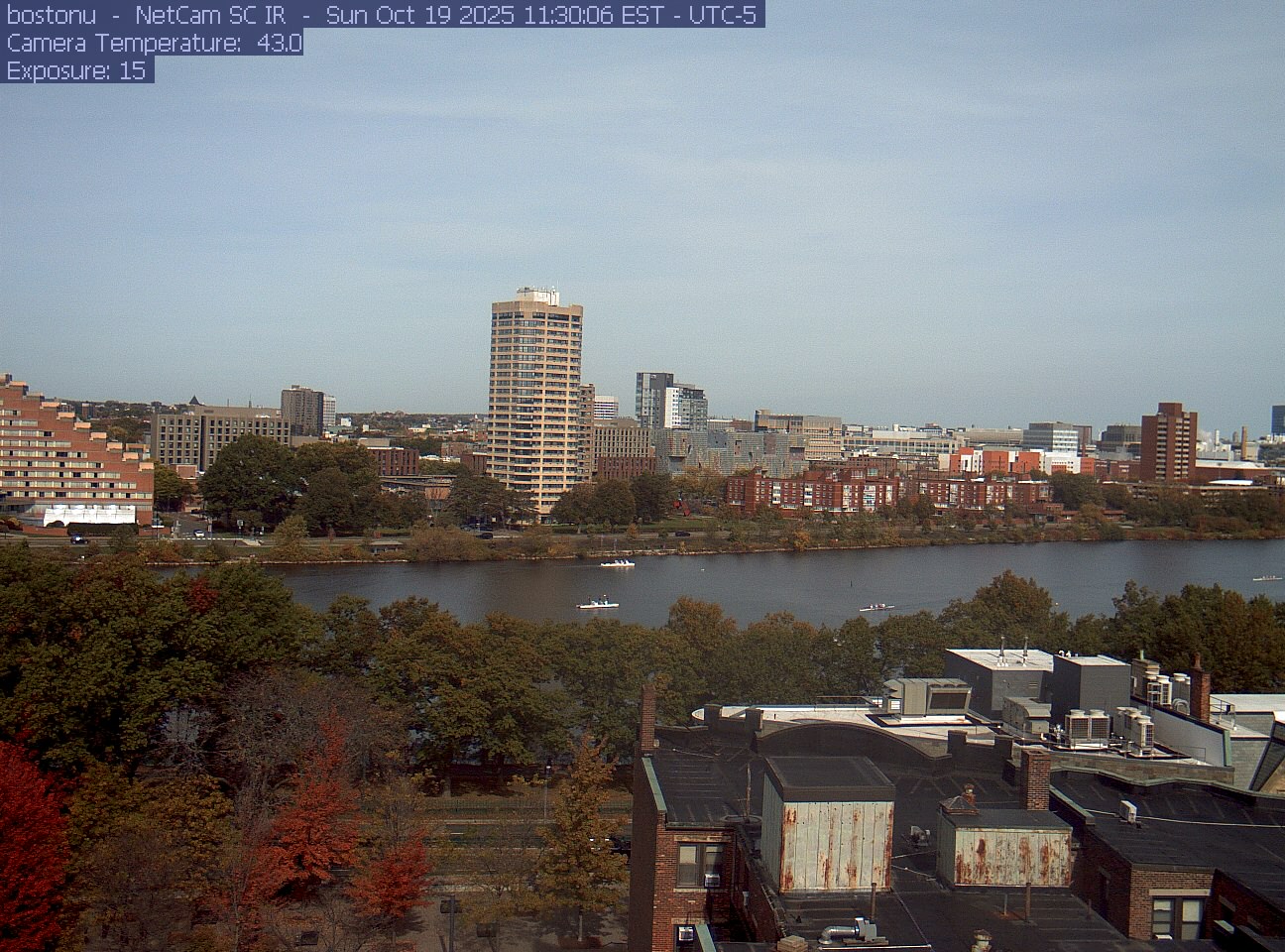
PhenoCam Network / Boston University / Charles River Esplanade
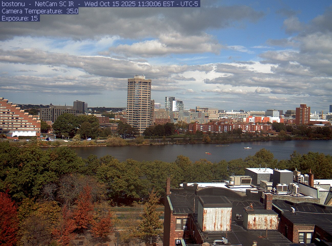
PhenoCam Network / Boston University / Charles River Esplanade
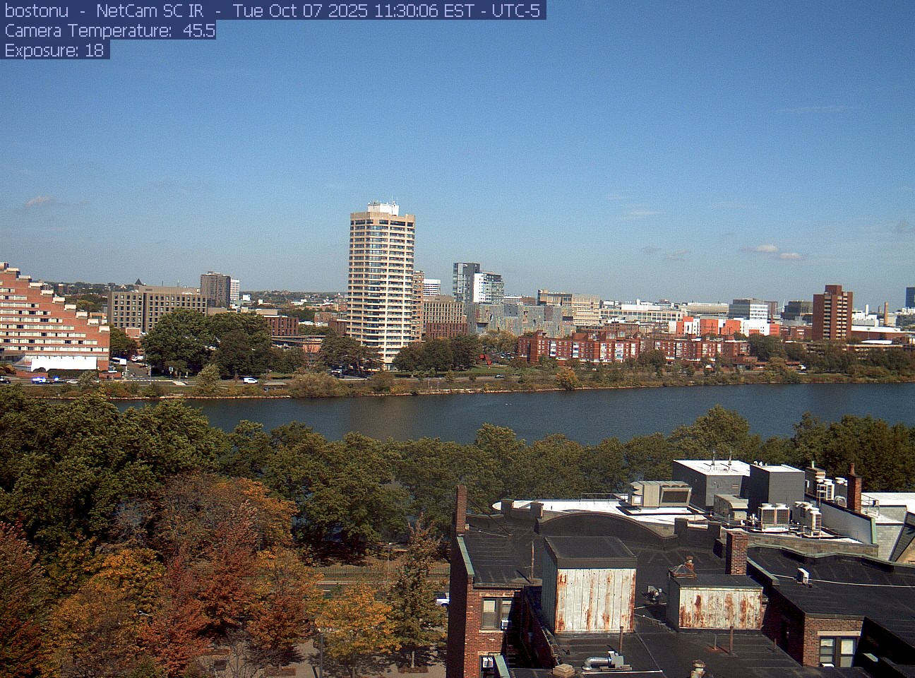
PhenoCam Network / Boston University / Charles River Esplanade
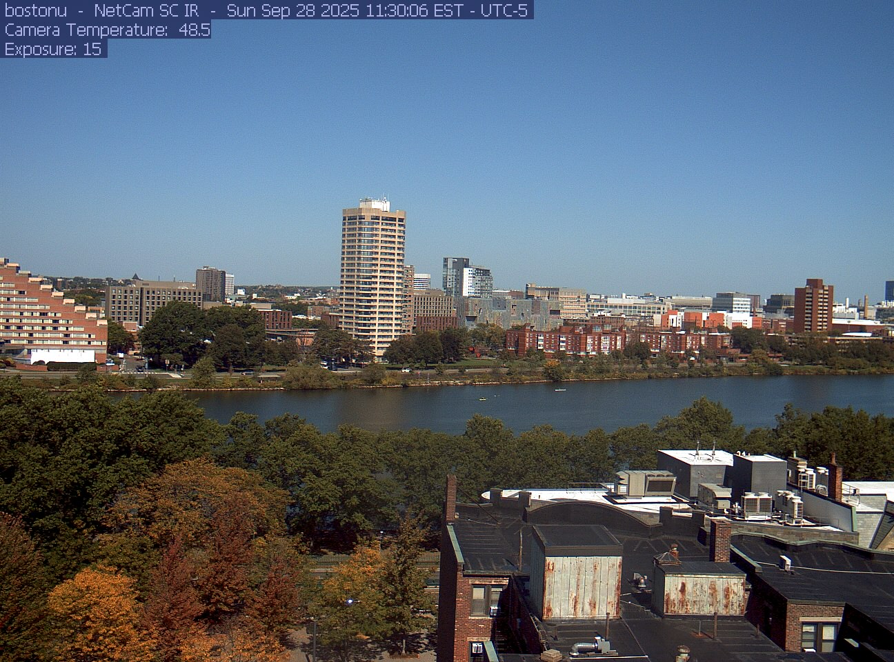
PhenoCam Network / Boston University / Charles River Esplanade
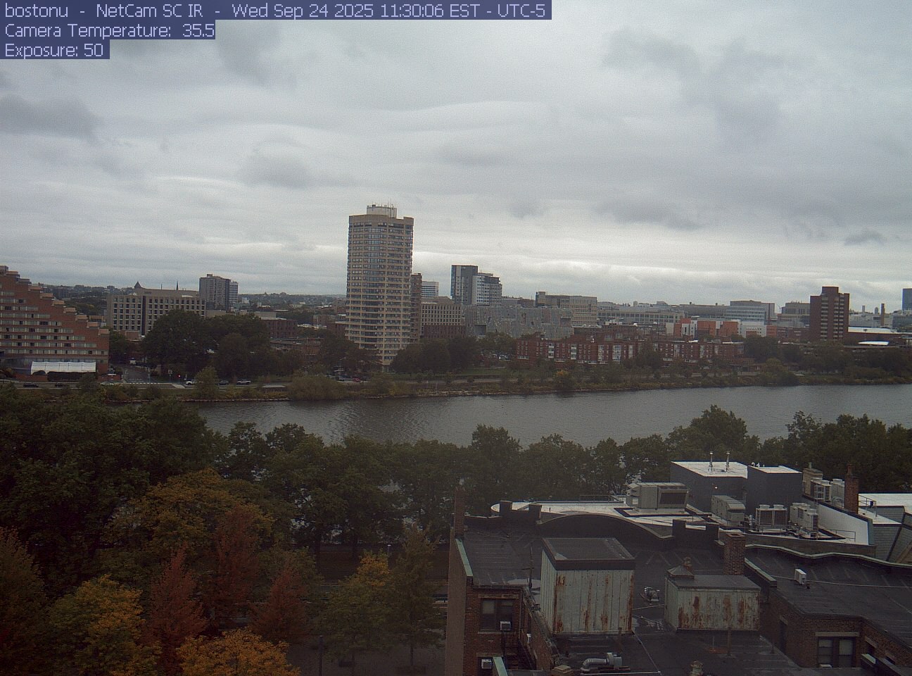
PhenoCam Network / Boston University / Charles River Esplanade
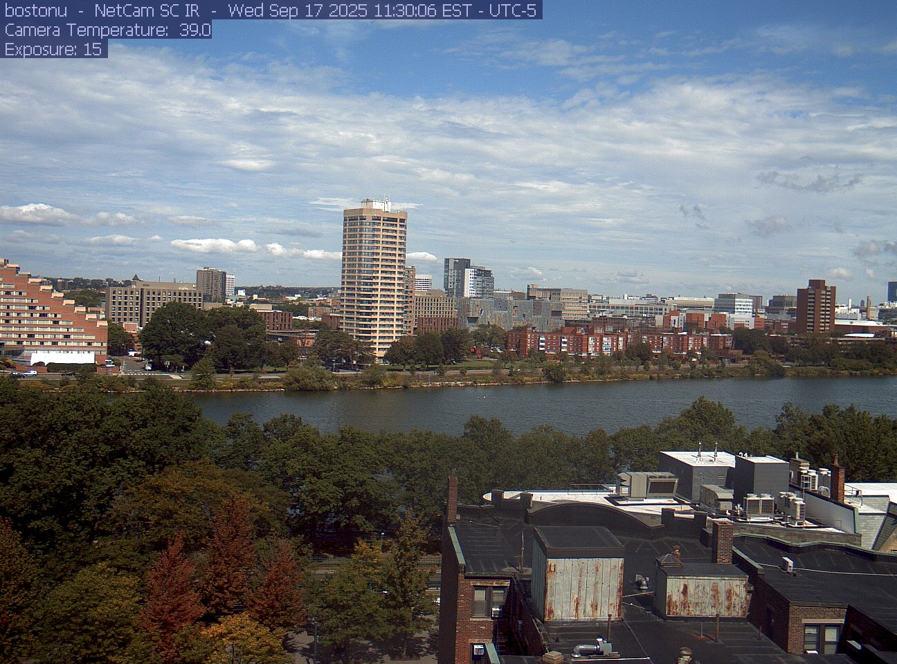
PhenoCam Network / Boston University / Charles River Esplanade
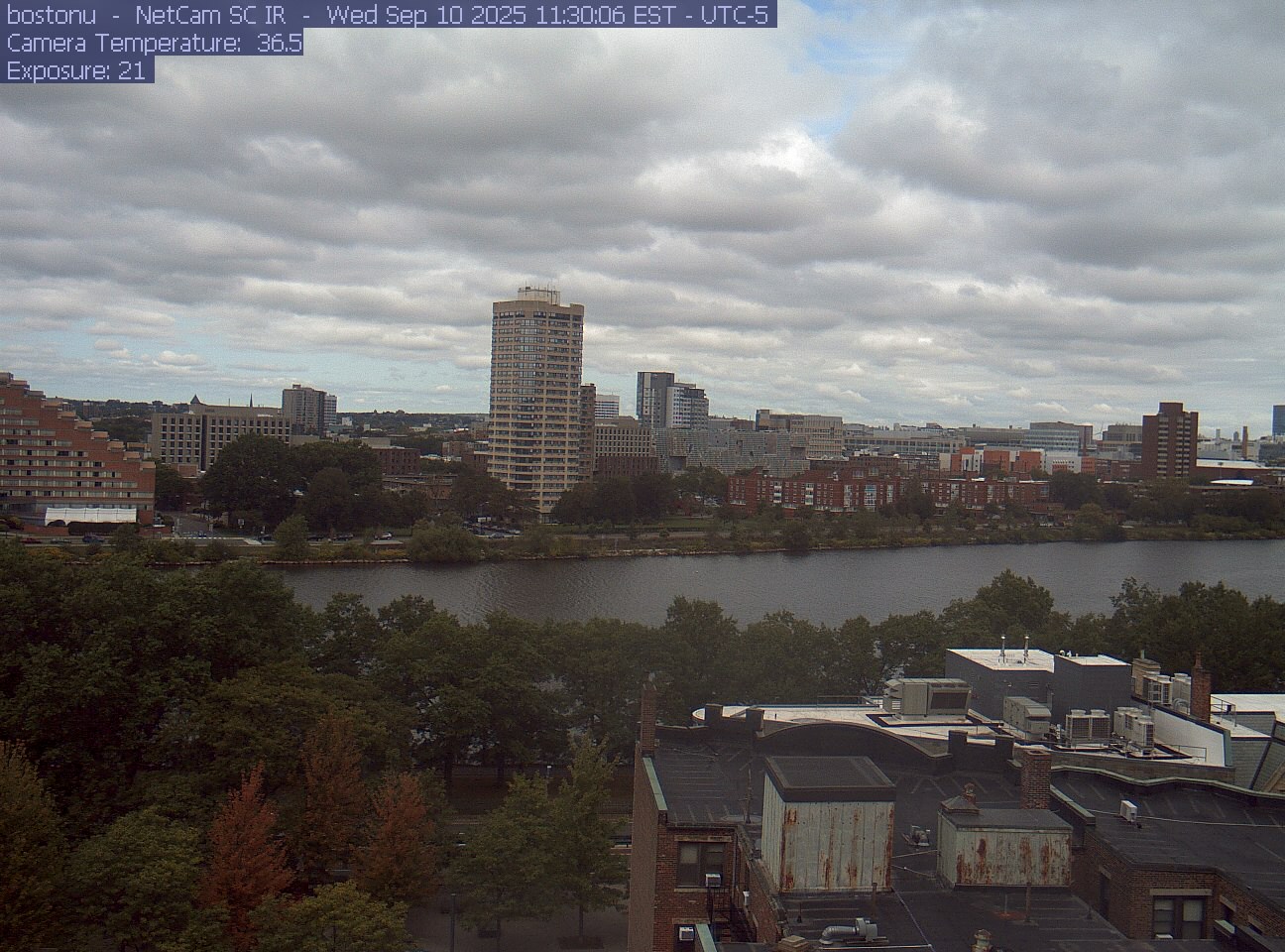
PhenoCam Network / Boston University / Charles River Esplanade
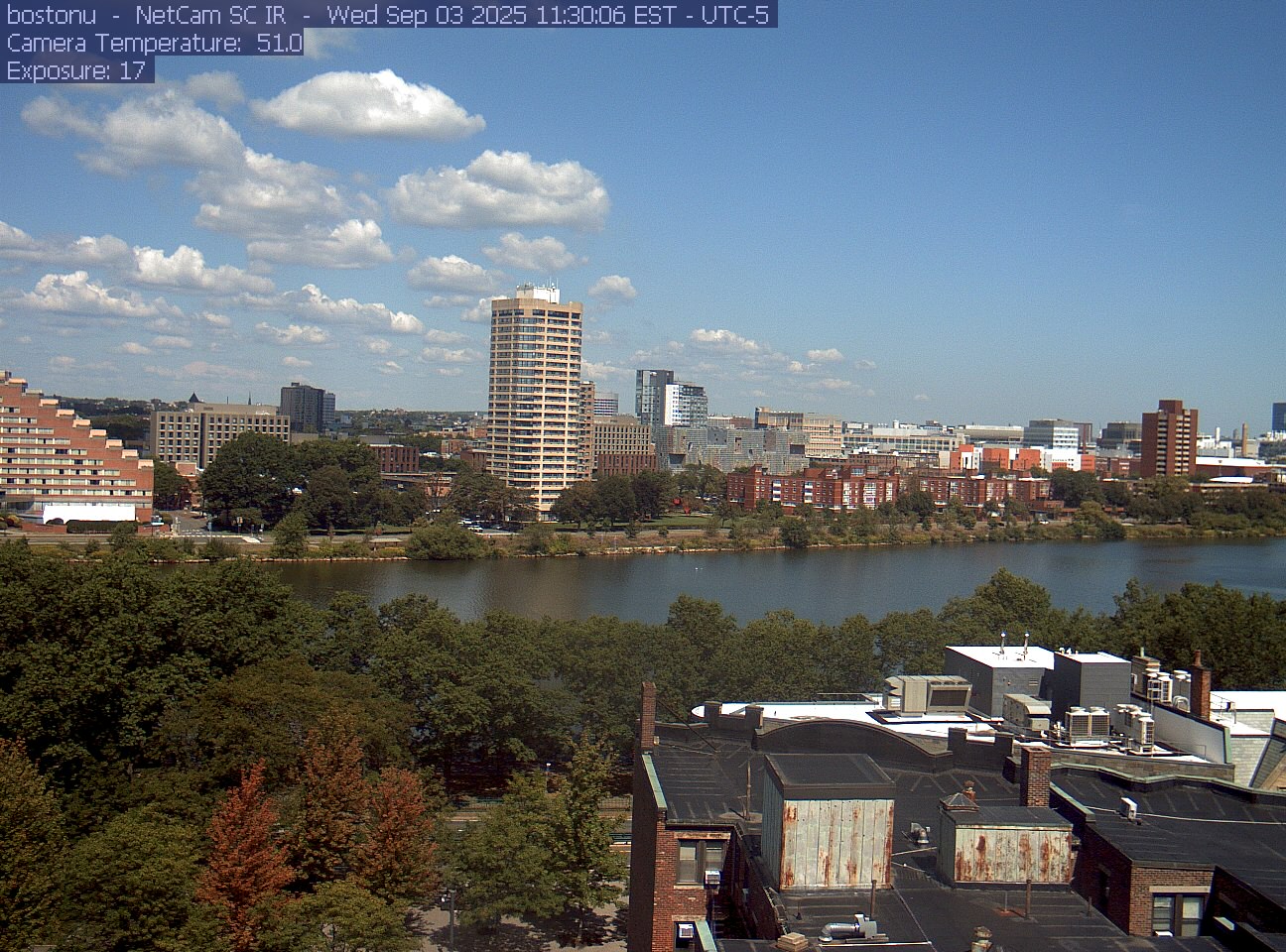
PhenoCam Network / Boston University / Charles River Esplanade
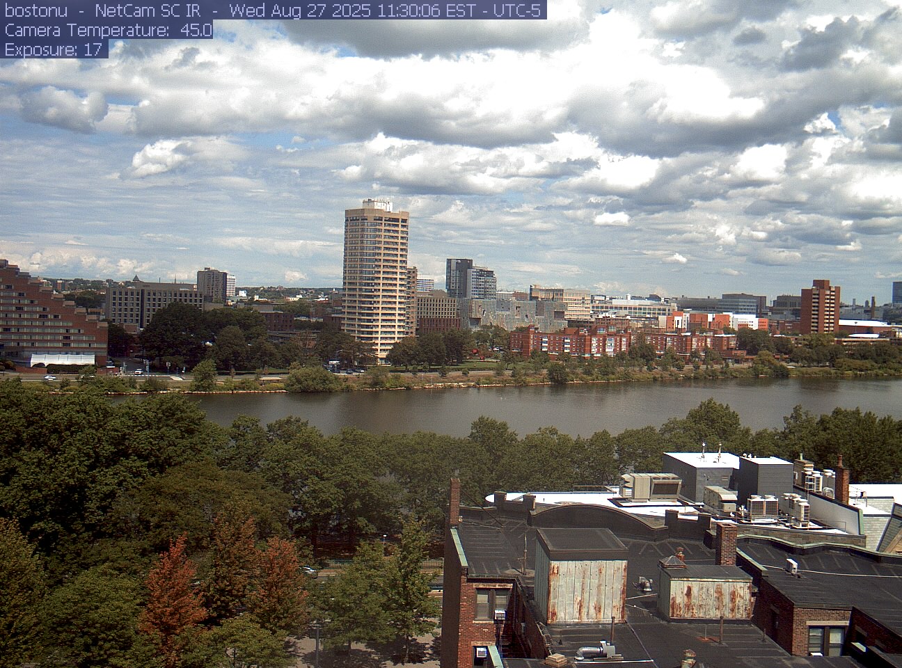
PhenoCam Network / Boston University / Charles River Esplanade
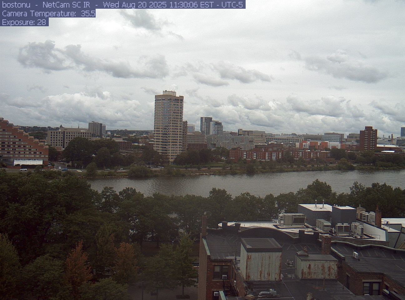
PhenoCam Network / Boston University / Charles River Esplanade
The Esplanade’s paths run beside the river near this view. Use its pedestrian-bridge map to plan an entrance and the last part of your walk.
Storrow Drive separates the park from the city. The Esplanade Association’s map shows eight pedestrian bridges, park paths and access points.
The park partner says there is no general public parking on the Esplanade; accessible parking is at the Blossom Street entrance. Check its directions for transit and nearby facilities.
DCR publishes current park notices. Check the affected place and dates; no notice here should be read as proof that every path is open.
Use the operator’s current alerts before selecting a stop and pedestrian entrance. The camera does not show service disruptions.
Boston roads on Mass511 · Check Storrow Drive and your approach to the river. These road views do not show how busy the riverside paths are.