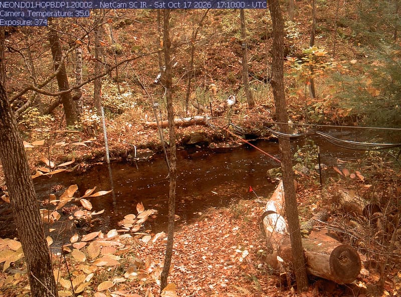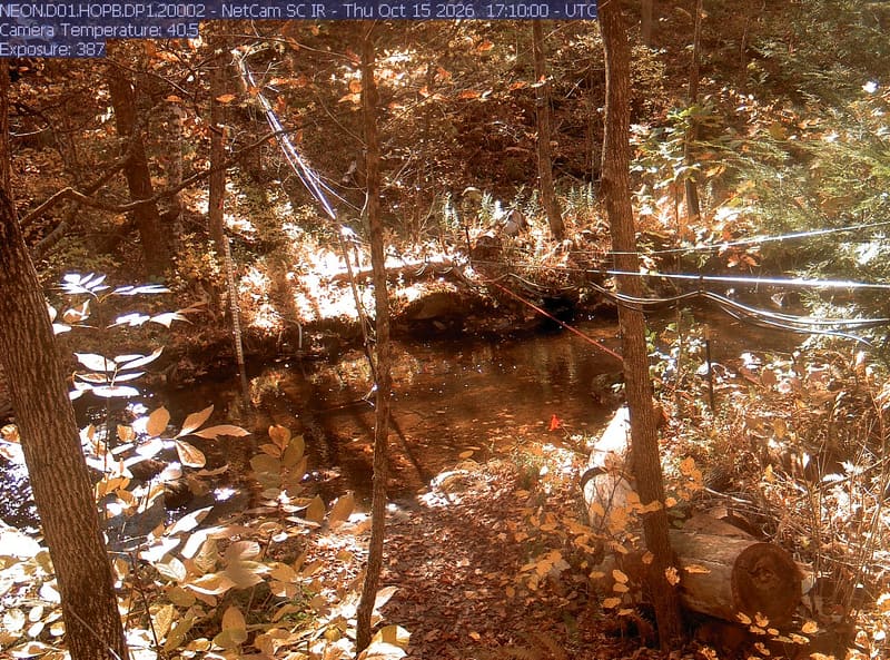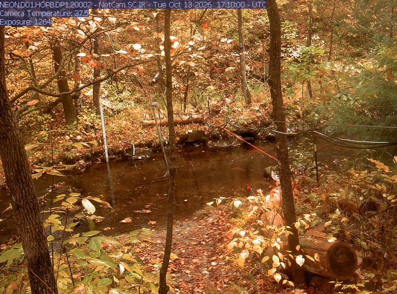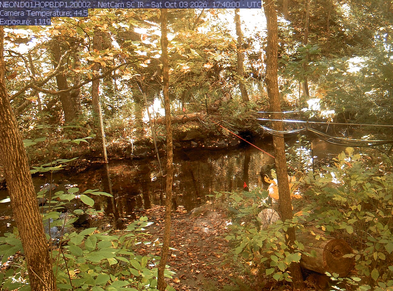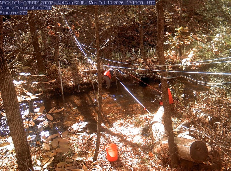
Hop Brook streamside trees

The newest frame from every camera looked at each morning, sorted and shown as you choose; press one for its picture large, its days along the foot and a time lapse.

How the wall is ordered

Under Most colour now, the frames from the newest day and the day before come first, and among them the clearest and most coloured lead: each frame is read when the page is built, for how much of what the wall shows of it is in autumn reds, oranges and golds, how much fine detail fog, rain or a wet lens has left it, and how well it is lit. Older frames follow, newest first. The word under each frame sets the camera’s newest frame against its own earlier days this year, never against another camera’s: still green, turning, at its best, or past its best once its colour has clearly fallen, bare branches included. A river gauge’s frame is mostly water and bank, so it carries no word.

All cameras

A wooded stream with close leaves, trunks, water and research cables. Strong bright patches and warm exposure obscure parts of the upper canopy; nearby green and yellow leaves are readable.

Hop Brook streamside treesOctober 19, 2026 · 12:10 camera time

Massachusetts

Central Massachusetts

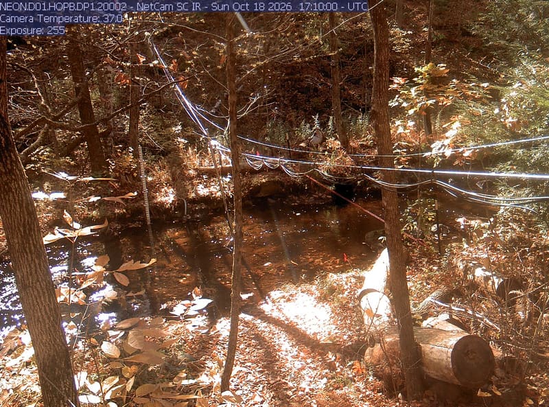
Past its best · 6 days saved here this year, from October 3 to October 19, 2026

PhenoCam Network and NEON Site - D01 (Northeast) Hop Brook, Massachusetts - aquatic/stream-gauge camera

Each small map’s outline: Natural Earth
Acknowledgments

The PhenoCam network asks us to say:

The NEON Data Usage and Citation Policy can be found at: http://data.neonscience.org/data-policy. NEON is a project sponsored by the National Science Foundation and operated under cooperative agreement by Battelle.