
Peek
Photograph ·
Photograph by Chancy Rendezvous · Flickr ↗ · All Rights Reserved
Northbridge & Whitinsville
Massachusetts
Part of the Blackstone Valley, which Massachusetts shares with Rhode Island, where it goes on as Providence & the Blackstone Valley.
Wachusett's uplands and the Blackstone connect central Massachusetts' mill towns and wooded reservoirs.
Maple, oak, birch and beech colour the uplands, valleys and town parks.
As of , 7 photographs from this autumn have come from here; the newest was taken on (1 day earlier).
Photographs taken anywhere in Worcester, Wachusett & the Blackstone Valley this autumn, newest first, then its viewpoints and cameras.
Photograph ·
Photograph by Chancy Rendezvous · Flickr ↗ · All Rights Reserved
Northbridge & Whitinsville
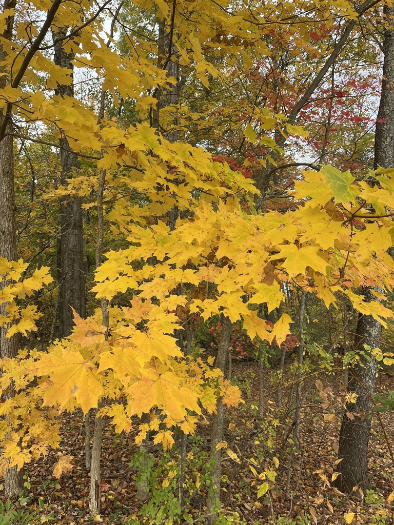
Photograph ·
Photograph by jsardell · iNaturalist ↗ · CC BY-NC 4.0 ↗
Walden Pond State Reservation

Photograph ·
Photograph by cushing.academy · Flickr ↗ · All Rights Reserved
Harvard Forest

Photograph ·
Photograph by arckphoto · Flickr ↗ · All Rights Reserved ↗
Castle Hill Farm / Whitinsville area, Massachusetts

Photograph ·
Photograph by littlereview · Flickr ↗ · All Rights Reserved
Elm Park, Worcester, Massachusetts

Photograph ·
Photograph by arckphoto · Flickr ↗ · All Rights Reserved ↗
West River / Northbridge area, Massachusetts

Photograph ·
Photograph by arckphoto · Flickr ↗ · All Rights Reserved
Mammoth Mill and Blackstone Gorge area, Massachusetts–Rhode Island border
The places on this site inside Worcester, Wachusett & the Blackstone Valley.
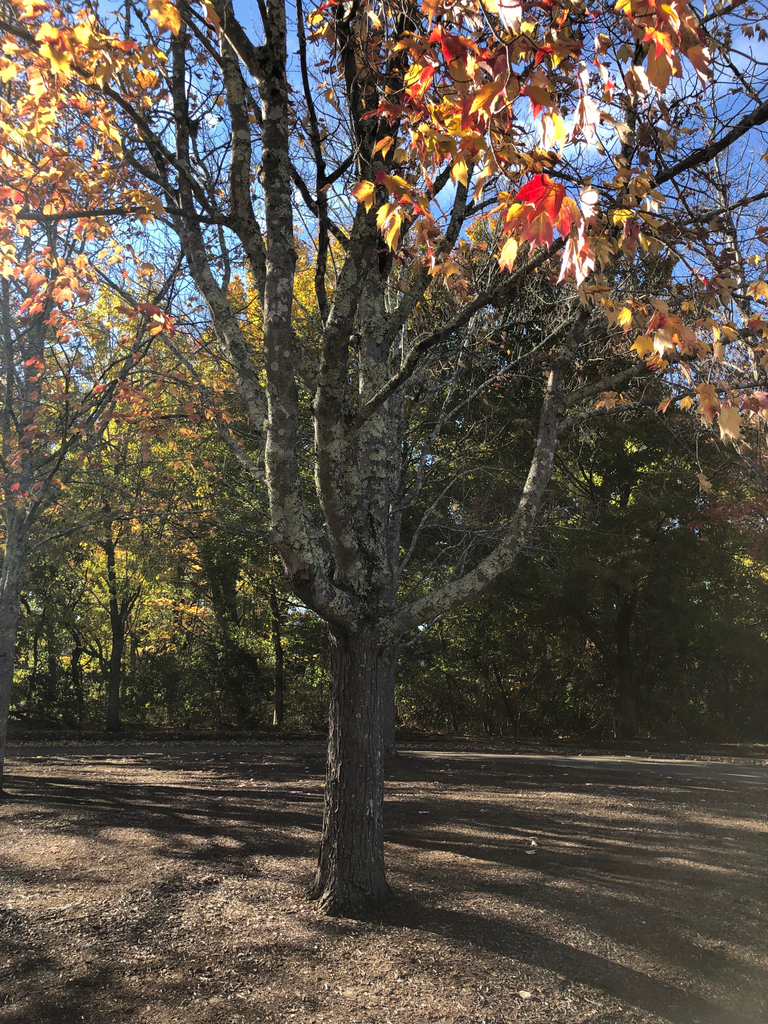
Its newest photograph ·
Photograph by fuscus · iNaturalist ↗ · CC BY-NC 4.0 ↗
Lincoln & Cumberland parks
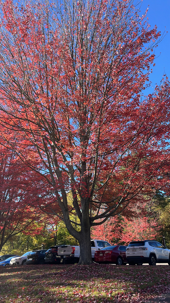
Its newest photograph ·
Photograph by eem · iNaturalist ↗ · CC BY-NC 4.0 ↗
Pioneer Valley & Mount Sugarloaf
These cameras stand inside Worcester, Wachusett & the Blackstone Valley; the site looks at the ones with a day beside them every morning, and the Cameras page shows their days one after another.