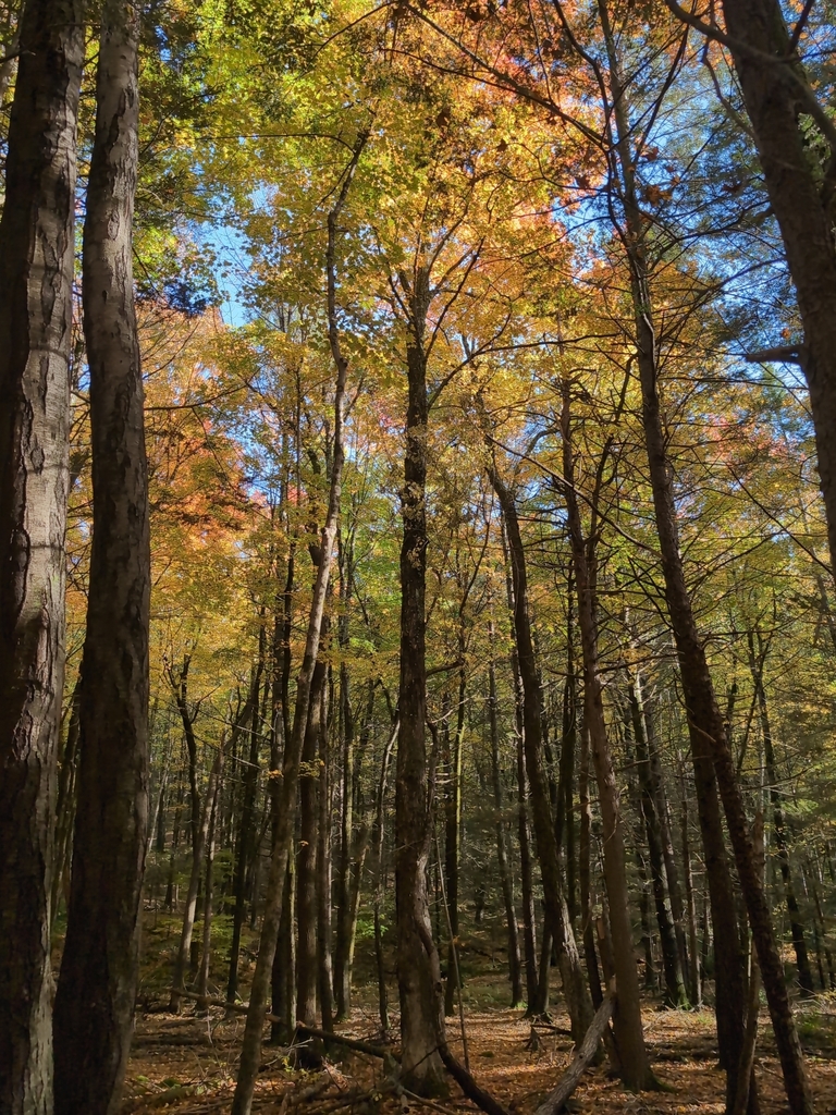
Sugar maple near Pioneer Valley & Mount Sugarloaf
Photograph ·
Photograph by Jack Cadwell · iNaturalist ↗ · CC BY-NC 4.0 ↗
Pioneer Valley & Mount Sugarloaf
Massachusetts
Autumn Guide ↗ expects the peak at Walden Pond State Reservation around . The estimate is for that one spot; slopes higher or lower nearby can turn earlier or later.
Photographs of Harvard Forest and the country around it, anywhere within 25 miles of Harvard Forest, newest first, with the camera that looks at the place. Each is shown with the day it was taken.
Photograph ·
Photograph by Jack Cadwell · iNaturalist ↗ · CC BY-NC 4.0 ↗
Pioneer Valley & Mount Sugarloaf

Photograph ·
Photograph by james mantzios · Flickr ↗ · All Rights Reserved
French King Bridge, Mohawk Trail, Massachusetts
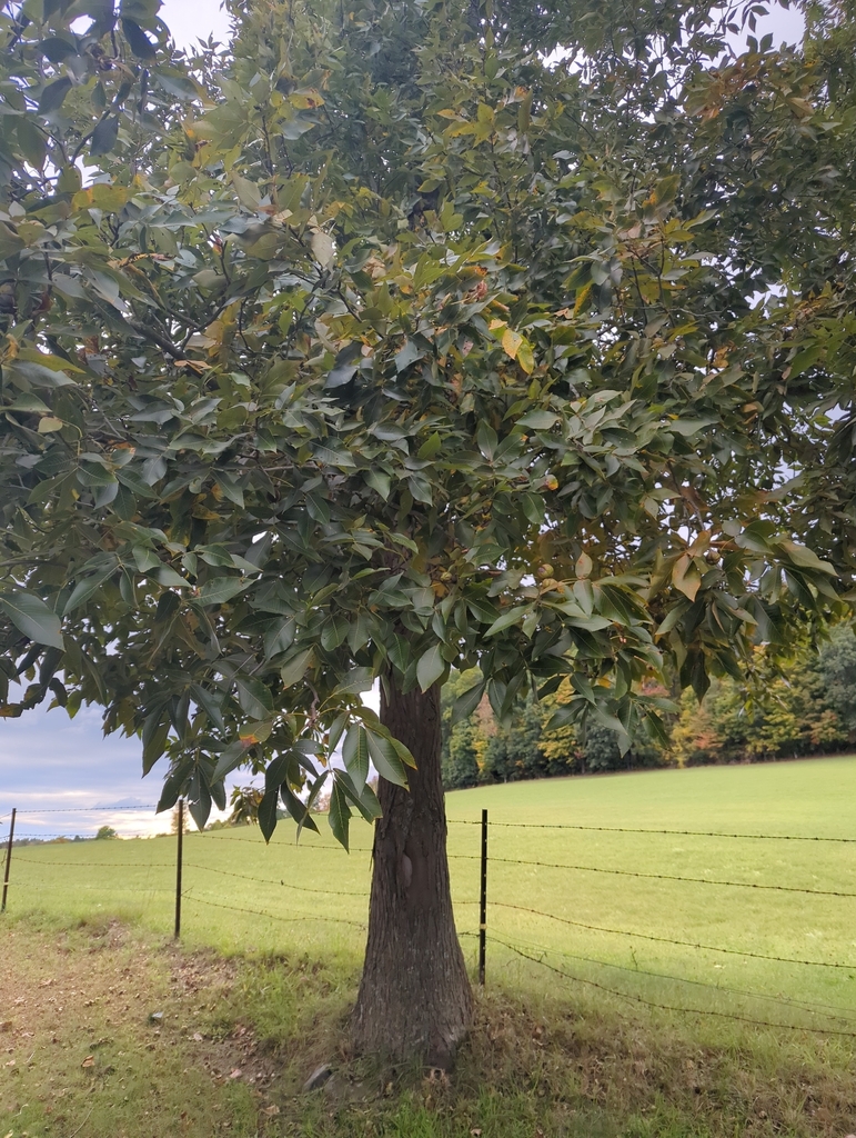
Photograph ·
Photograph by Mona Seno · iNaturalist ↗ · CC BY-NC 4.0 ↗
Gill, Massachusetts

Photograph ·
Photograph by Shahid Durrani · Flickr ↗ · All Rights Reserved
Lost Farm Trail, Mount Monadnock, Jaffrey, New Hampshire

Photograph ·
Photograph by t55z · Flickr ↗ · All Rights Reserved
Gap Mountain, Troy, New Hampshire
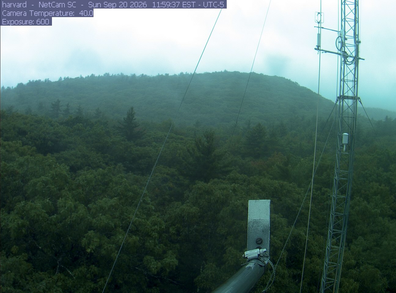
PhenoCam Network / Harvard Forest
The newest saved photograph is shown first. The stills below follow the camera through the season.
PhenoCam Network / Harvard Forest
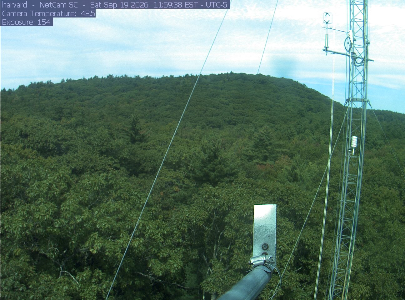
PhenoCam Network / Harvard Forest
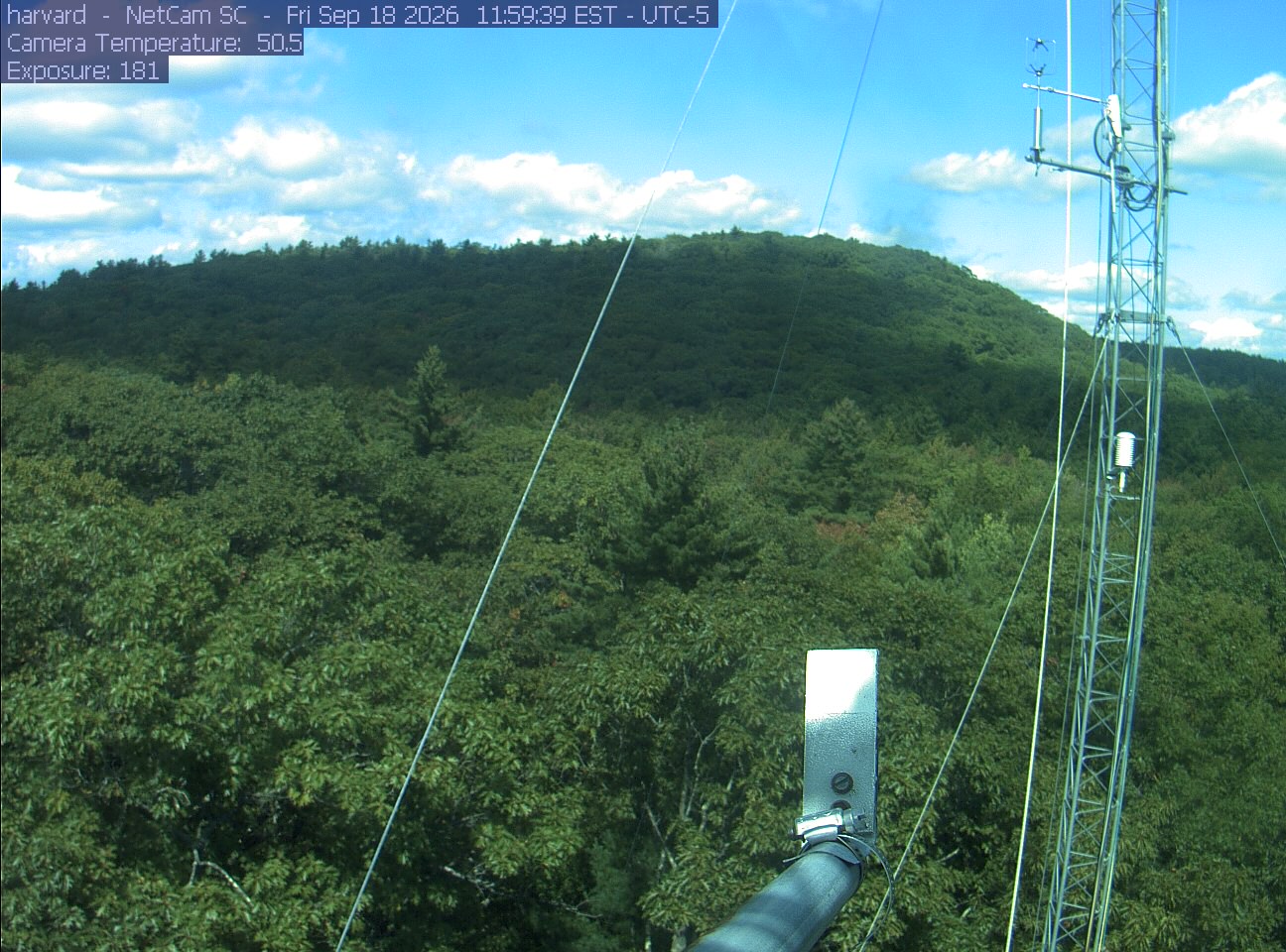
PhenoCam Network / Harvard Forest
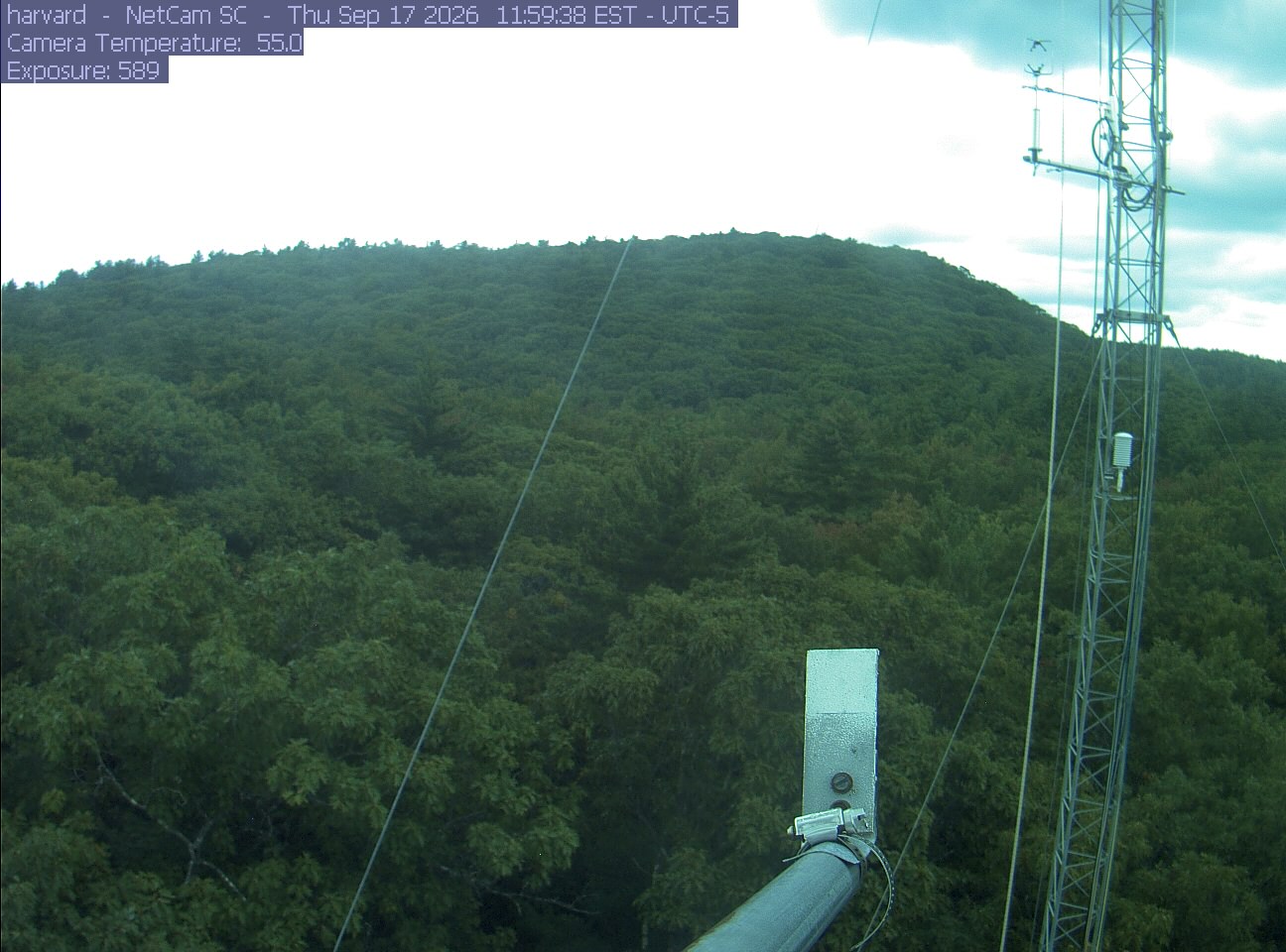
PhenoCam Network / Harvard Forest
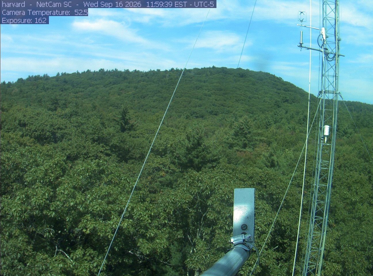
PhenoCam Network / Harvard Forest
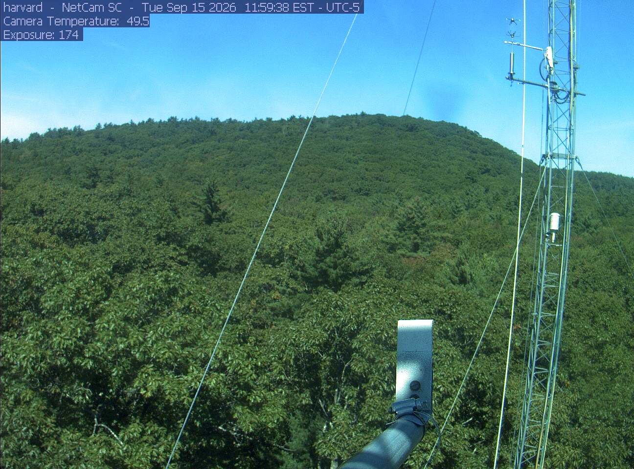
PhenoCam Network / Harvard Forest
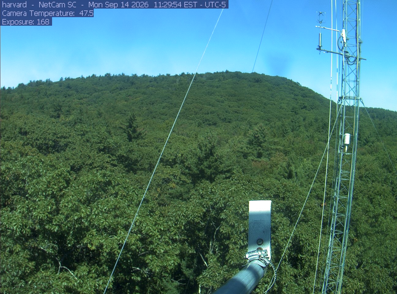
PhenoCam Network / Harvard Forest
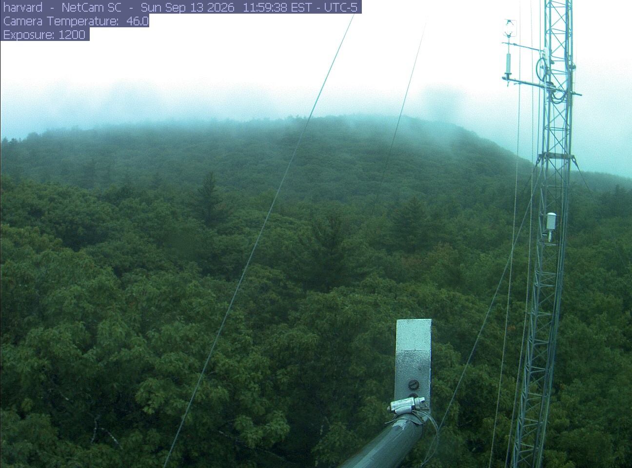
PhenoCam Network / Harvard Forest
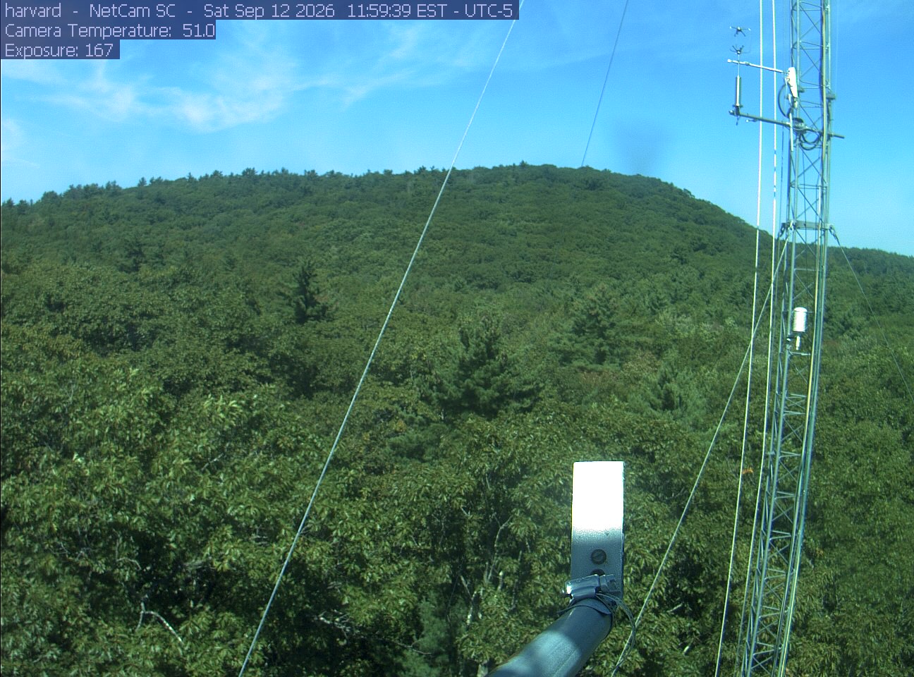
PhenoCam Network / Harvard Forest
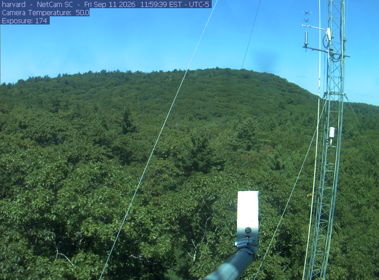
PhenoCam Network / Harvard Forest
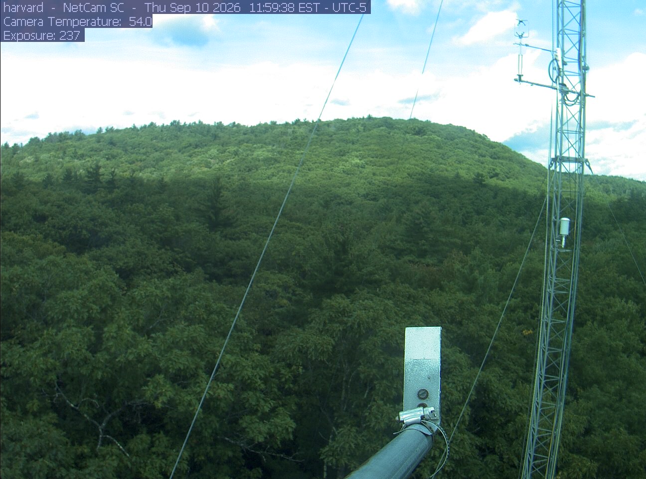
PhenoCam Network / Harvard Forest
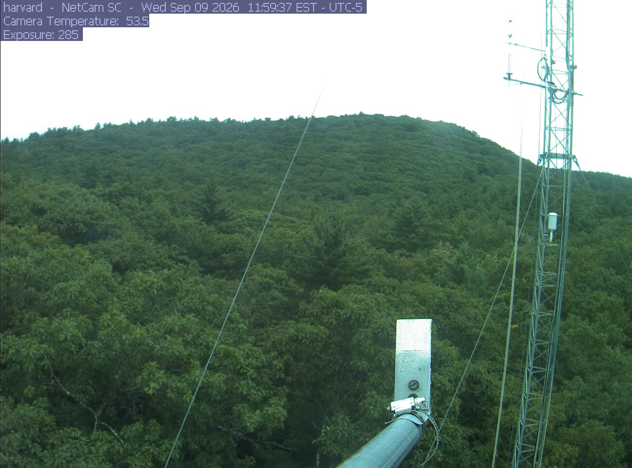
PhenoCam Network / Harvard Forest
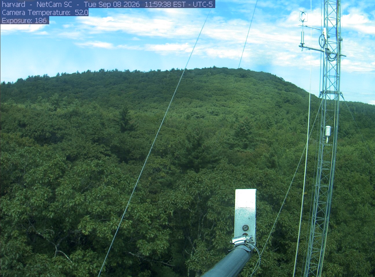
PhenoCam Network / Harvard Forest
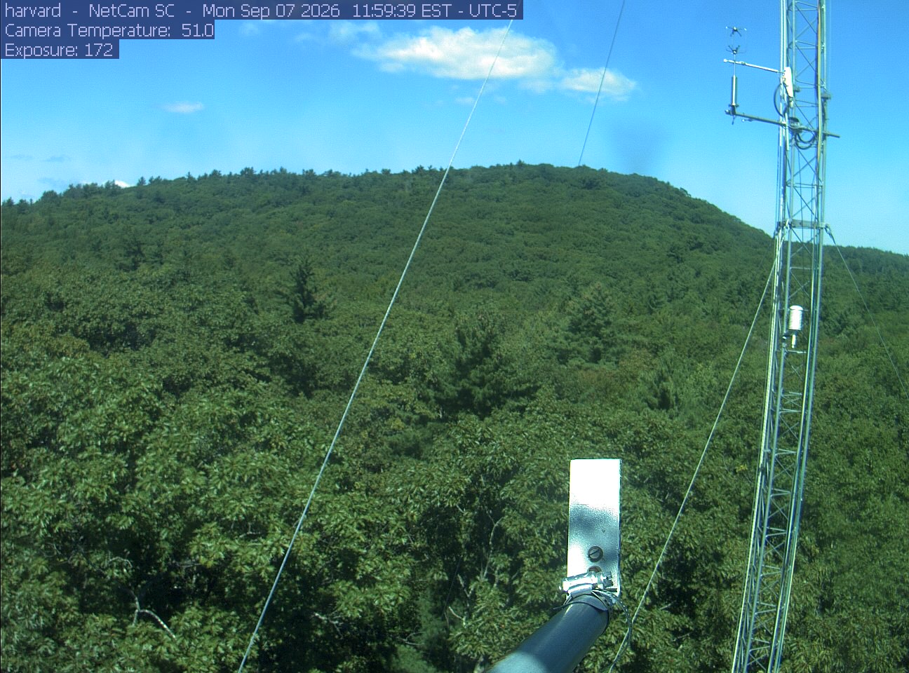
PhenoCam Network / Harvard Forest
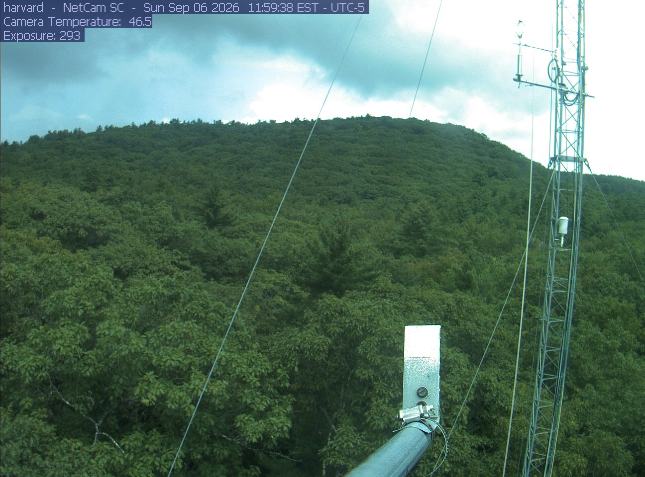
PhenoCam Network / Harvard Forest
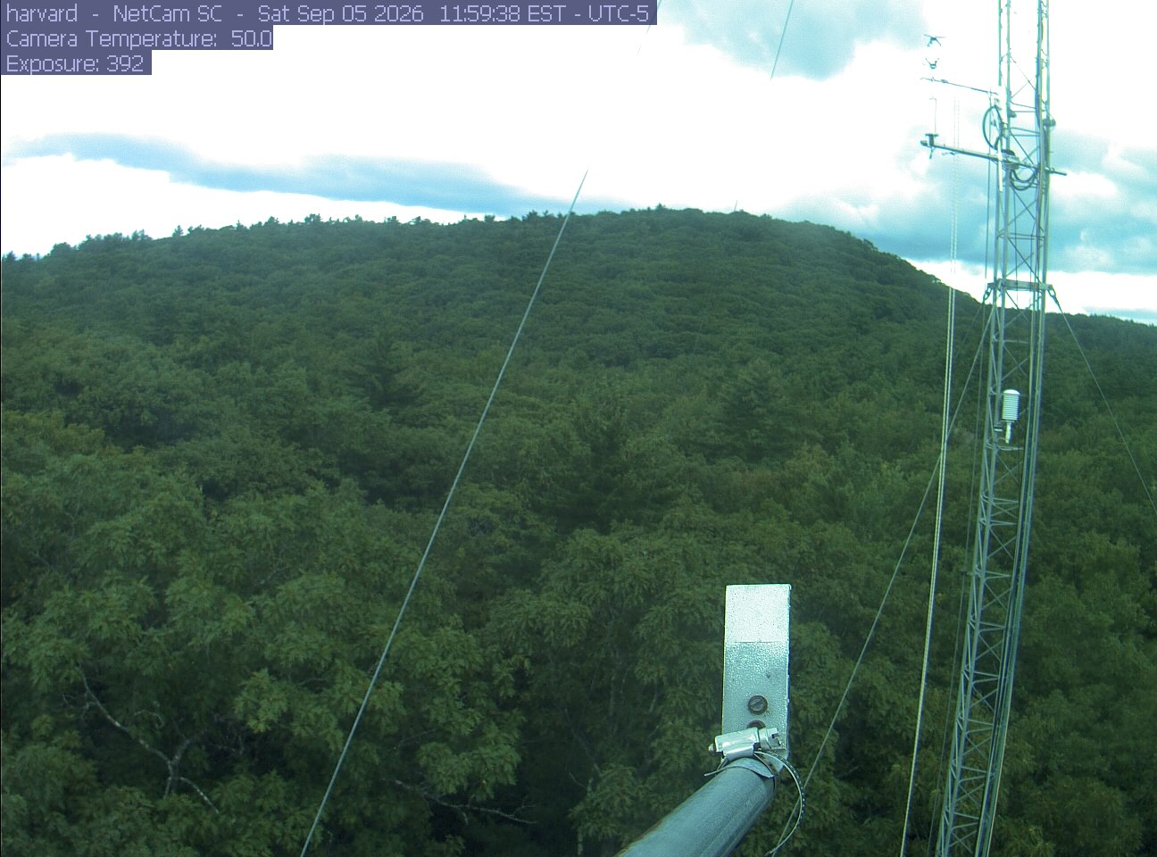
PhenoCam Network / Harvard Forest
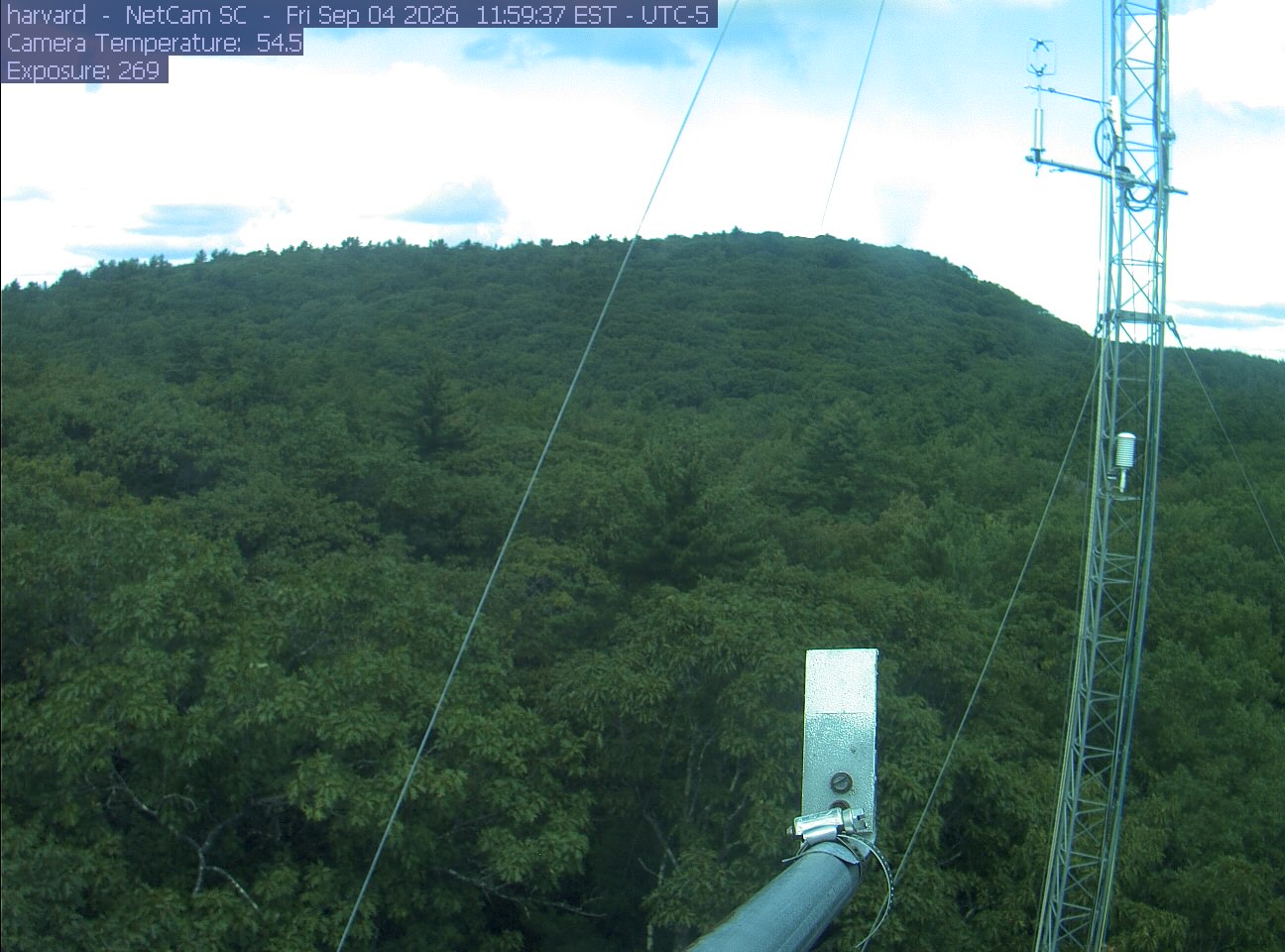
PhenoCam Network / Harvard Forest
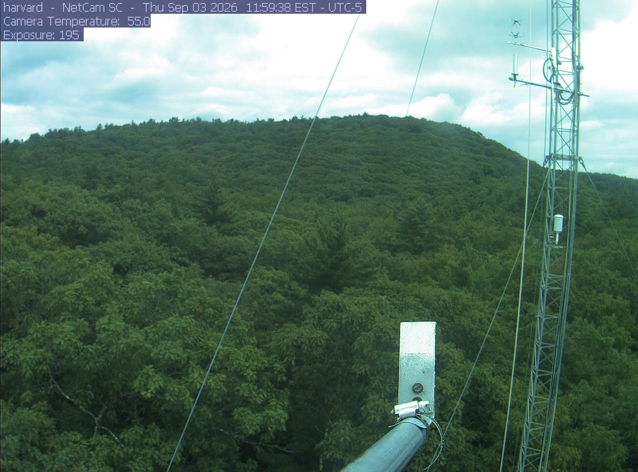
PhenoCam Network / Harvard Forest
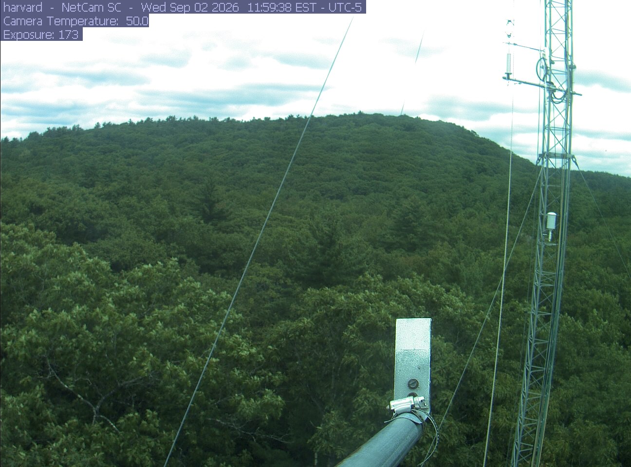
PhenoCam Network / Harvard Forest
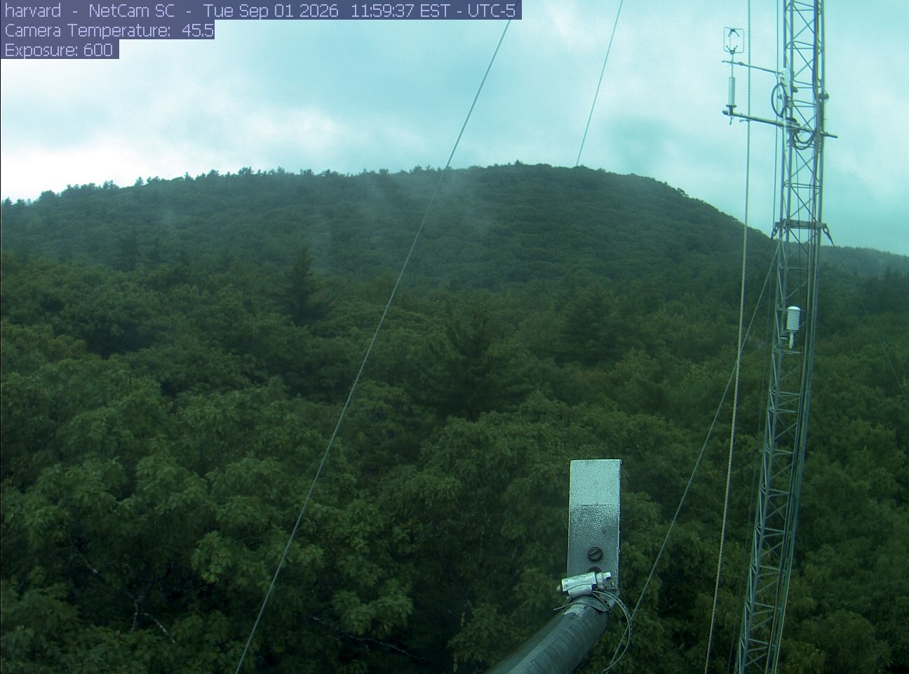
PhenoCam Network / Harvard Forest
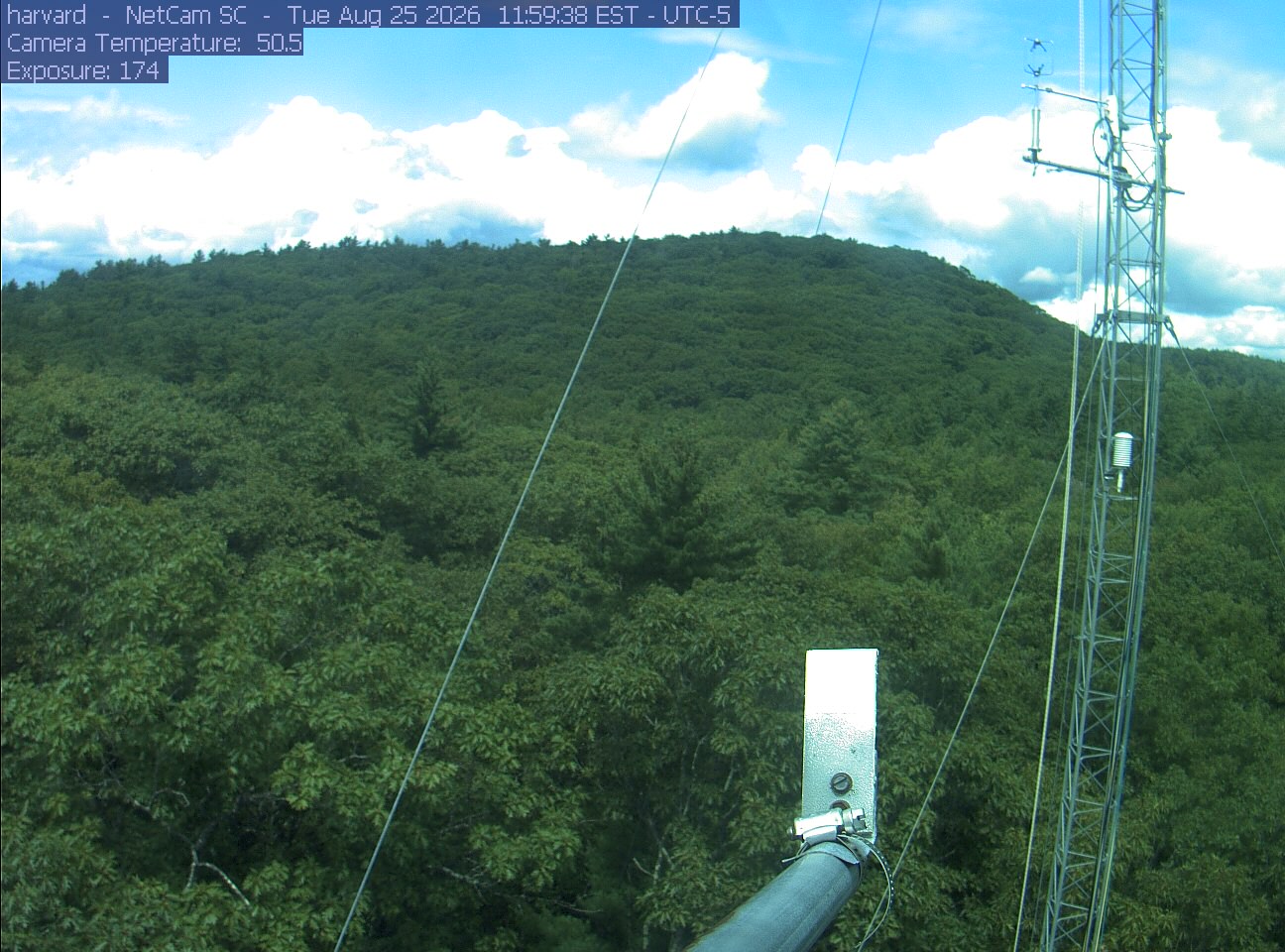
PhenoCam Network / Harvard Forest
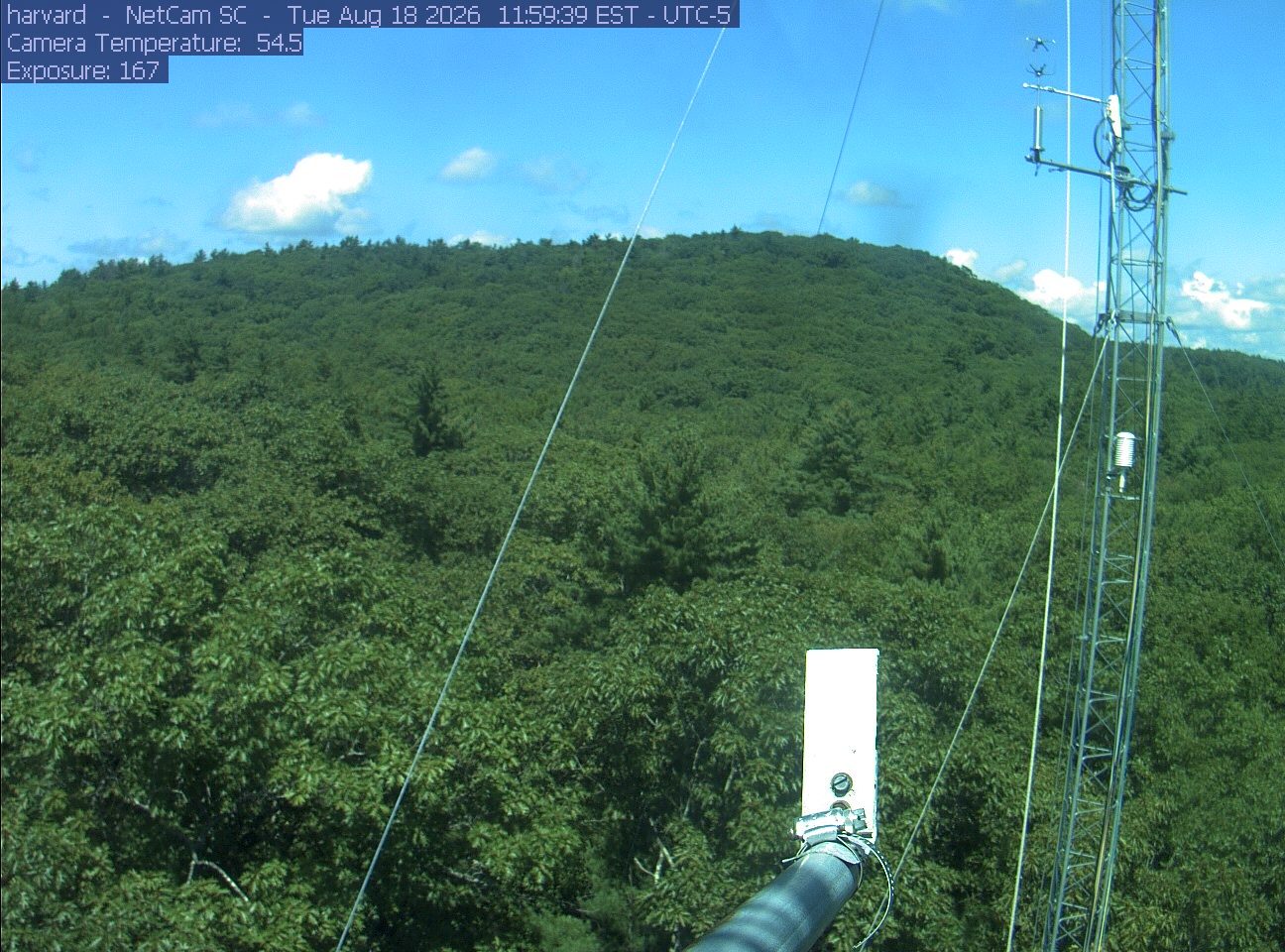
PhenoCam Network / Harvard Forest
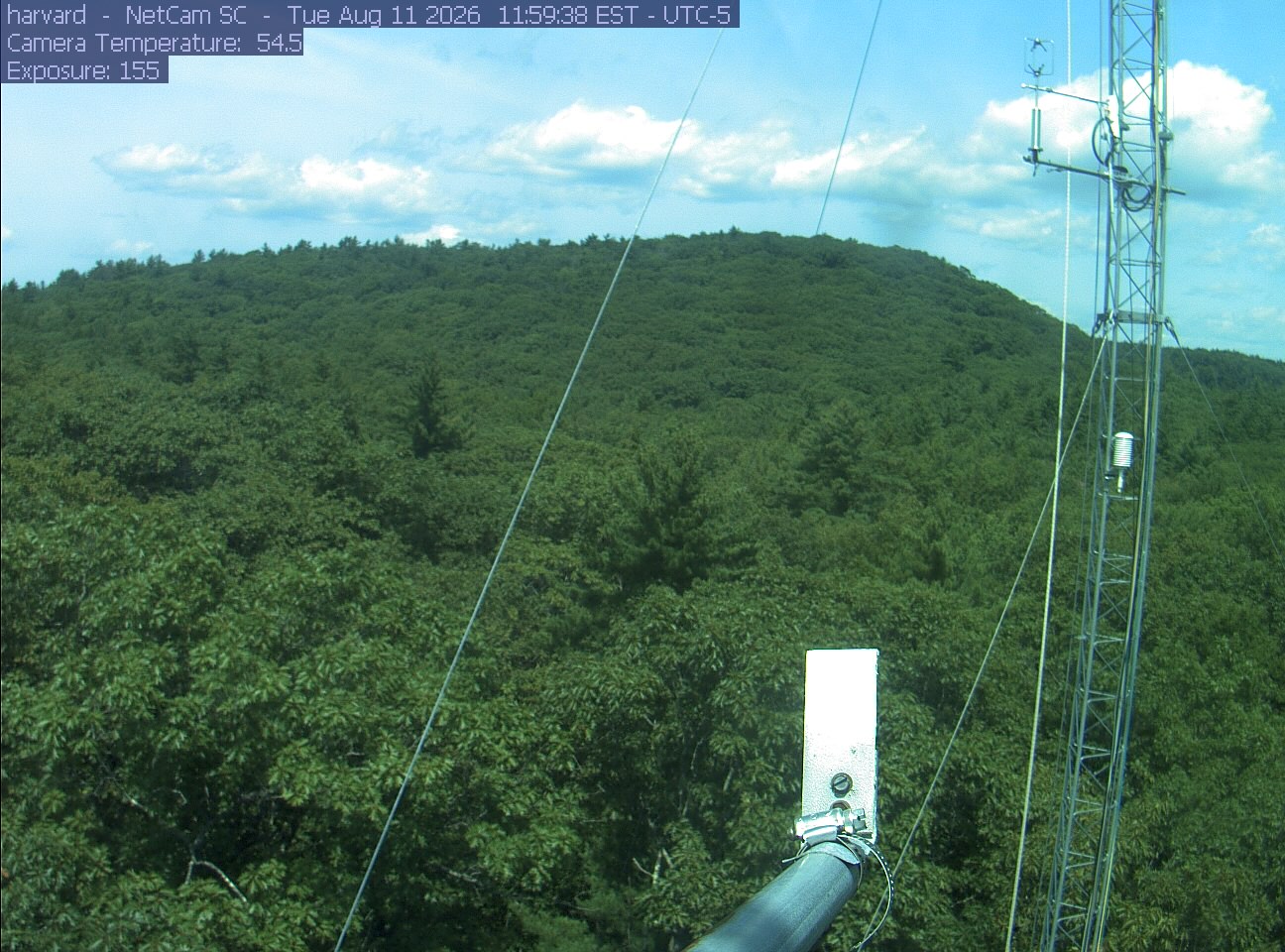
PhenoCam Network / Harvard Forest
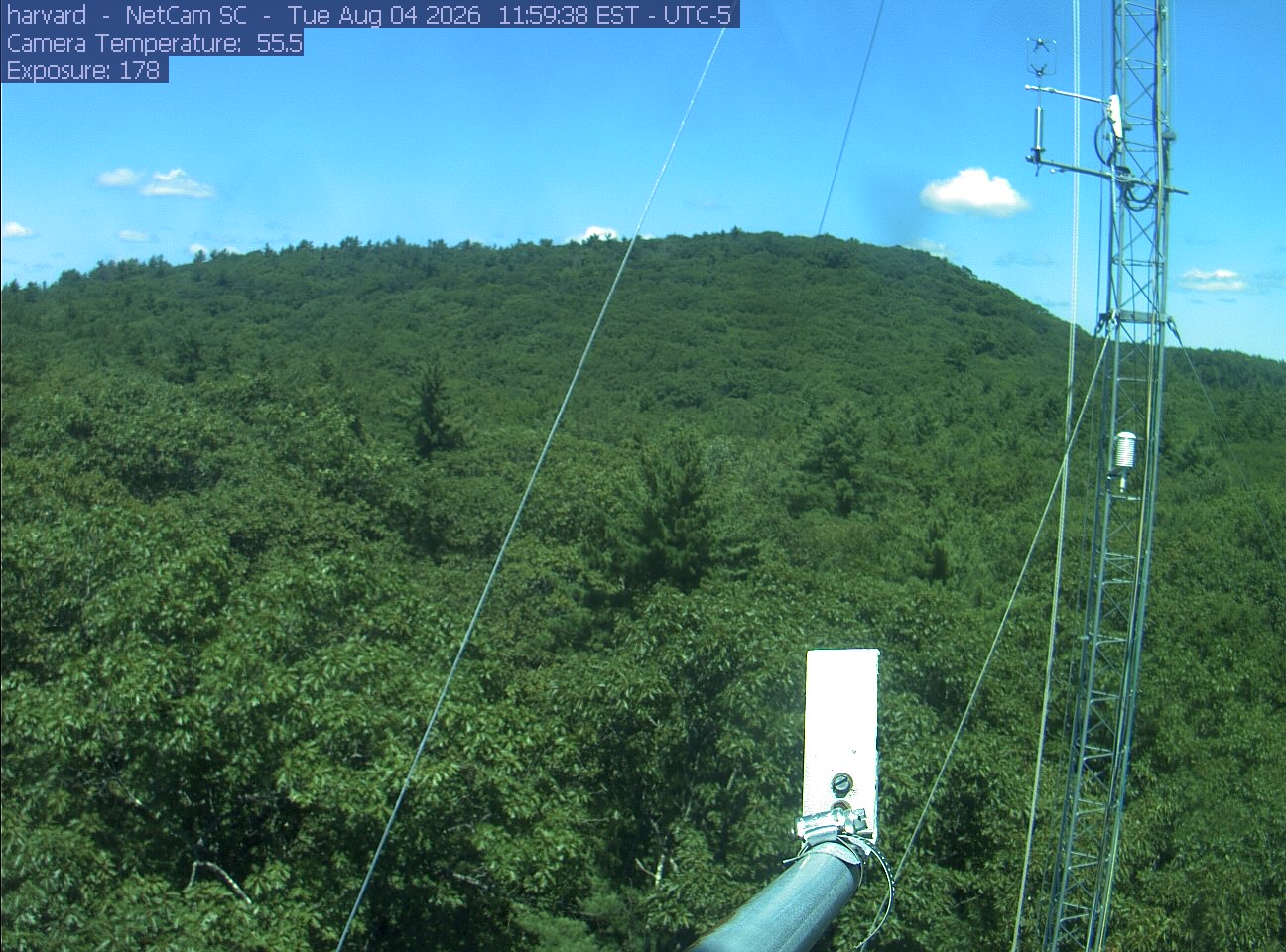
PhenoCam Network / Harvard Forest
Taken between early September and mid-October in an earlier year, these show how the season runs here.

Photograph ·
Photograph by gtxjimmy · Flickr ↗ · All Rights Reserved
Sunderland, Massachusetts (a farmhouse near Mount Sugarloaf)

Photograph ·
Photograph by gtxjimmy · Flickr ↗ · All Rights Reserved
Mount Sugarloaf summit road, Deerfield, Massachusetts

Photograph ·
Photograph by gtxjimmy · Flickr ↗ · All Rights Reserved
Sunderland village, seen from Mount Sugarloaf, Massachusetts

Photograph ·
Photograph by joes_shots · Flickr ↗ · All Rights Reserved
Mount Sugarloaf, Deerfield and Sunderland, Massachusetts
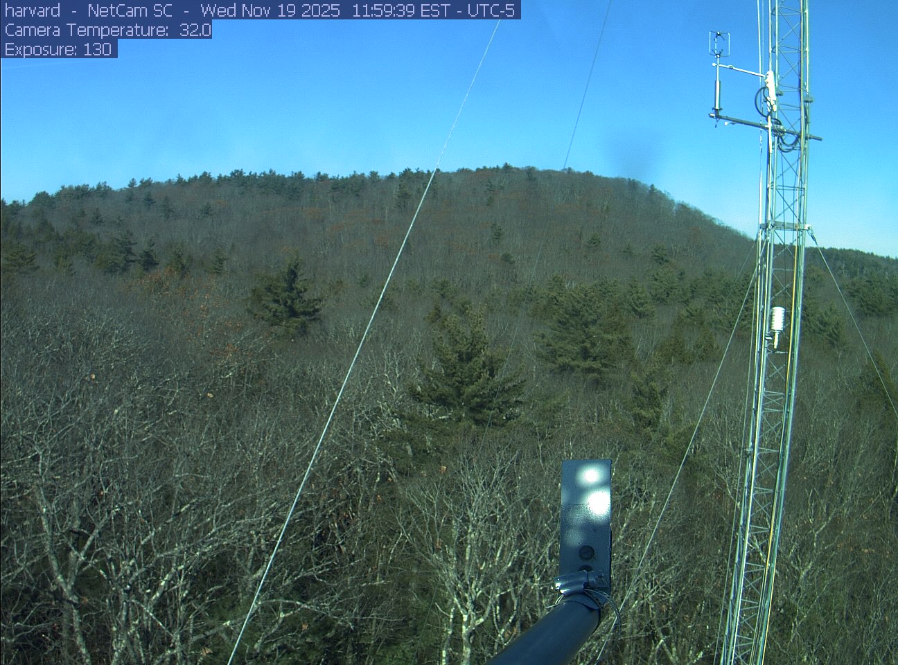
PhenoCam Network / Harvard Forest
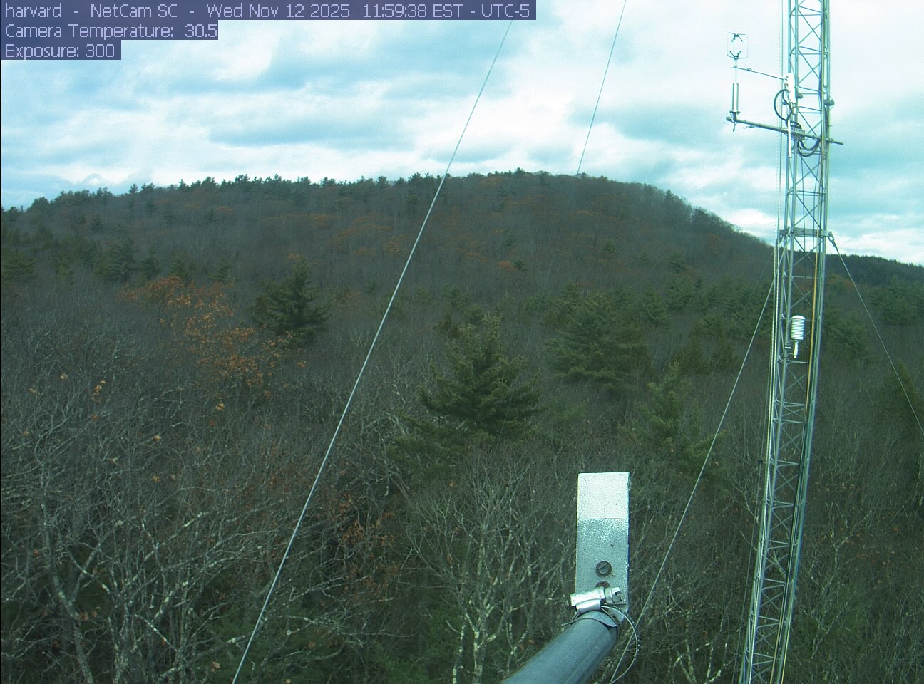
PhenoCam Network / Harvard Forest
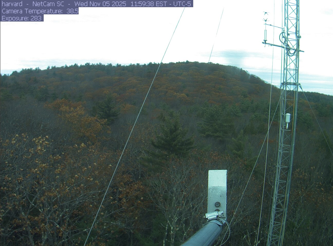
PhenoCam Network / Harvard Forest
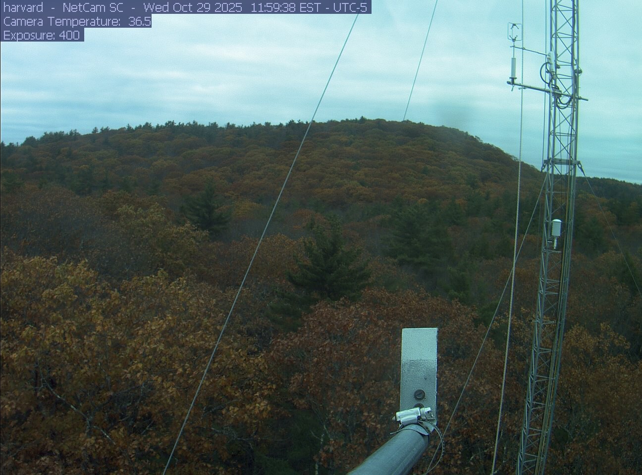
PhenoCam Network / Harvard Forest
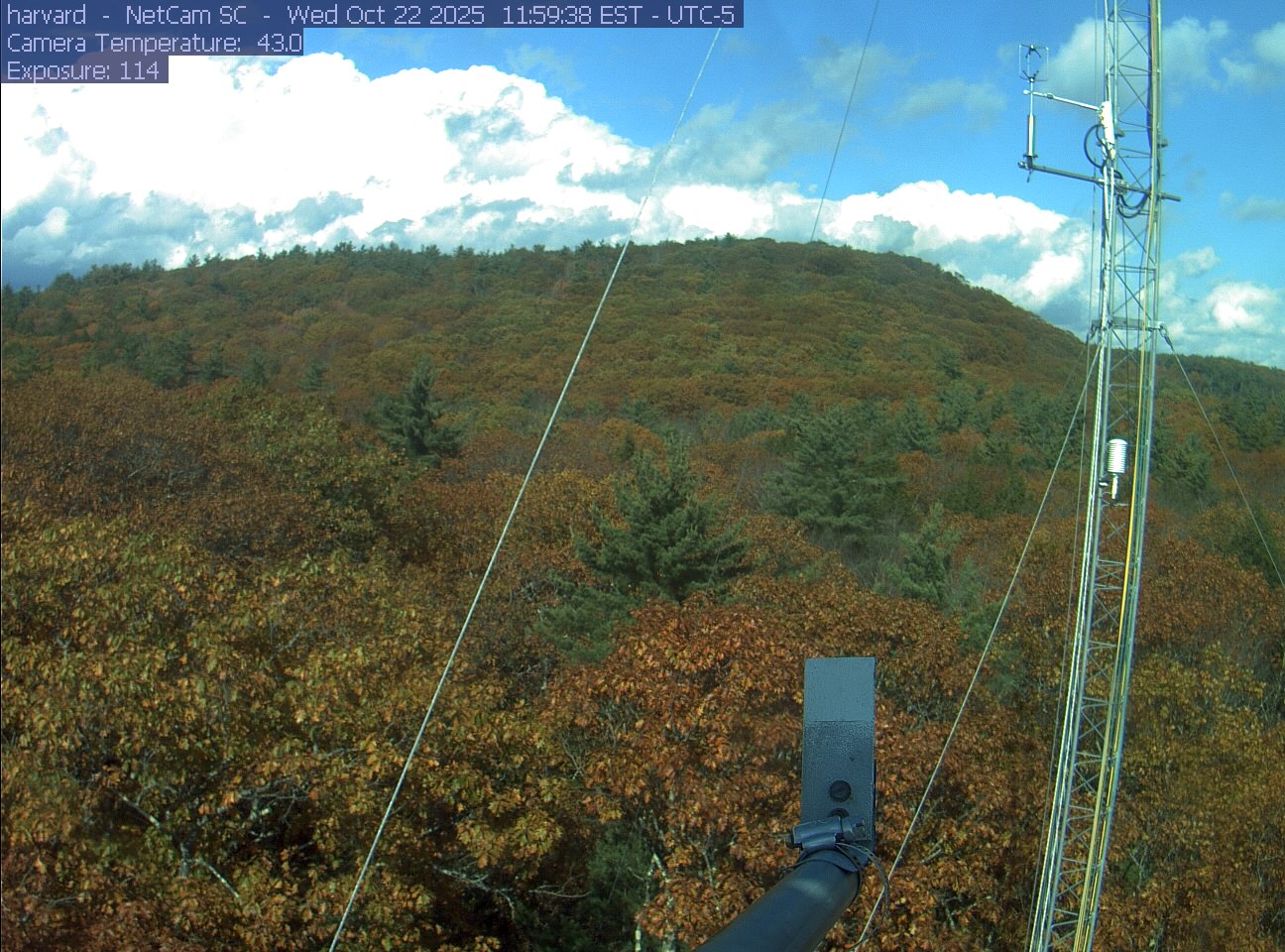
PhenoCam Network / Harvard Forest
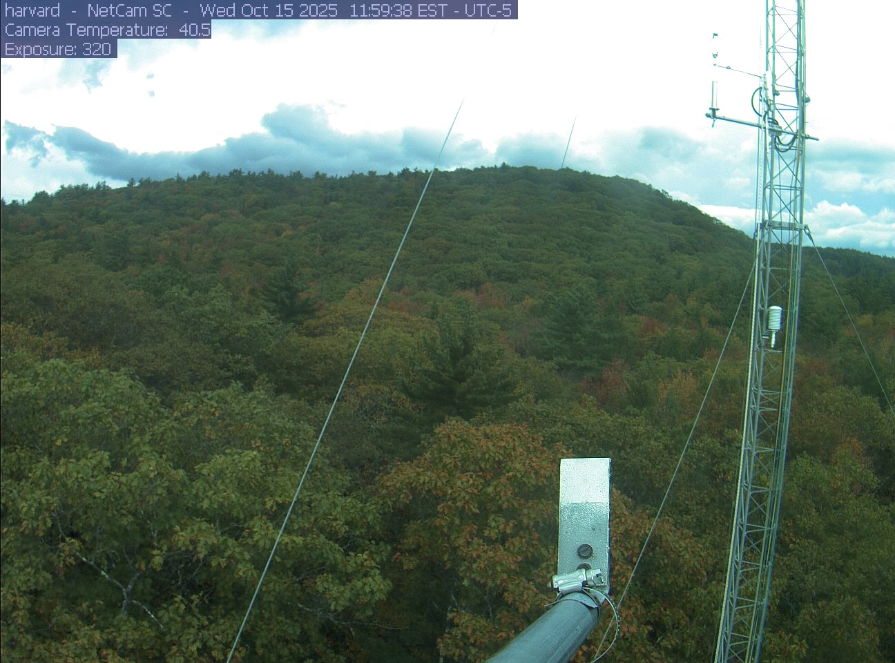
PhenoCam Network / Harvard Forest
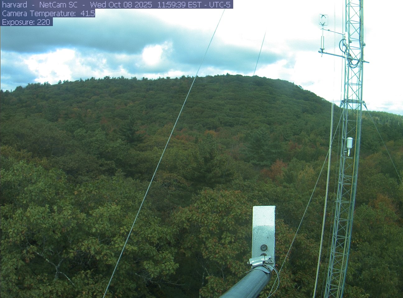
PhenoCam Network / Harvard Forest
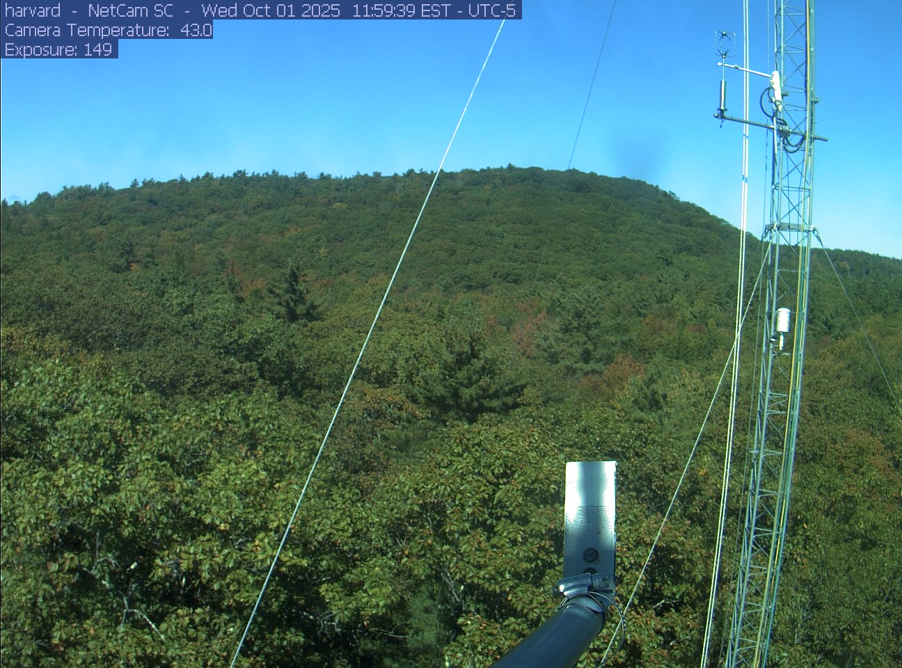
PhenoCam Network / Harvard Forest
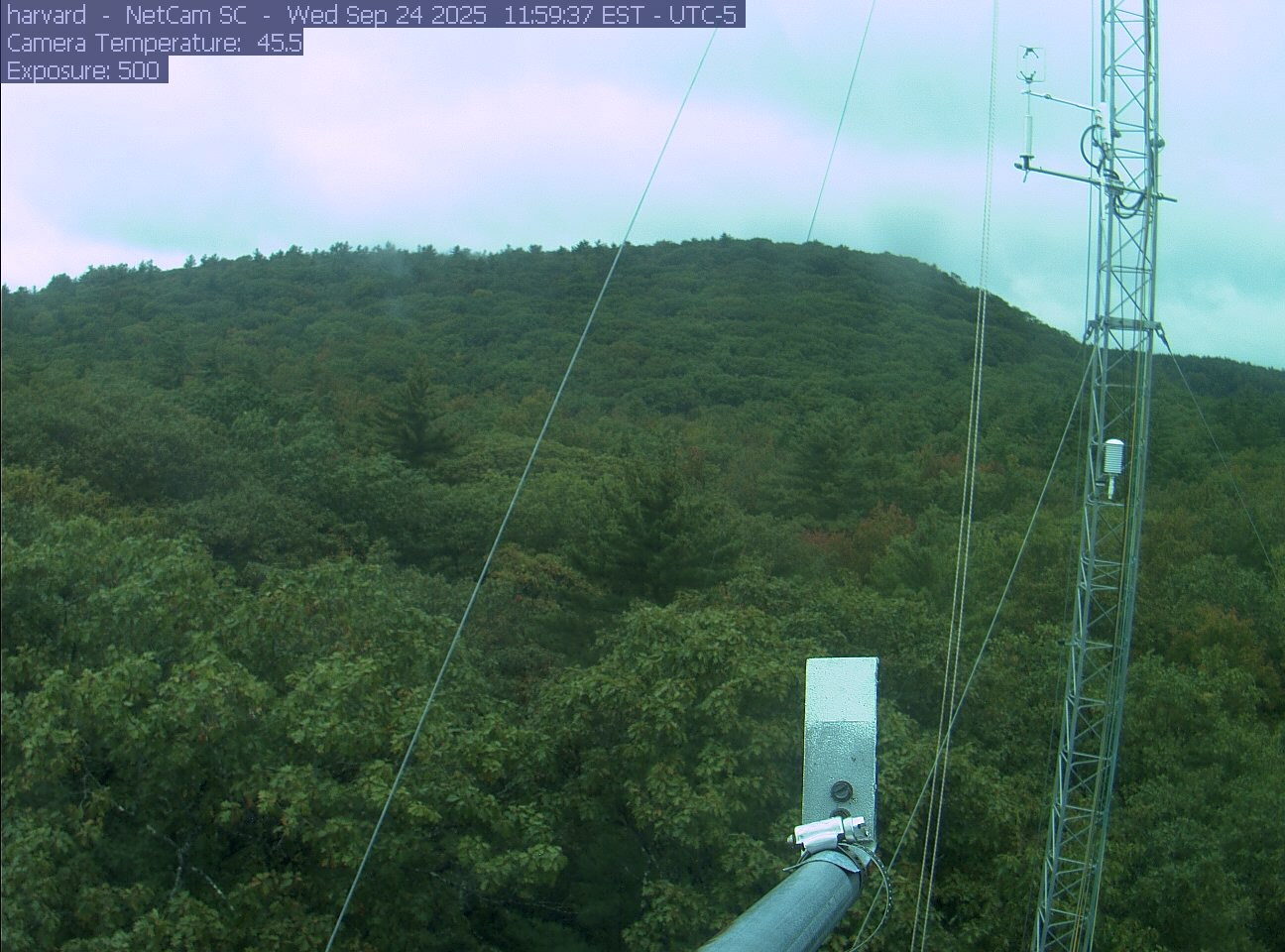
PhenoCam Network / Harvard Forest
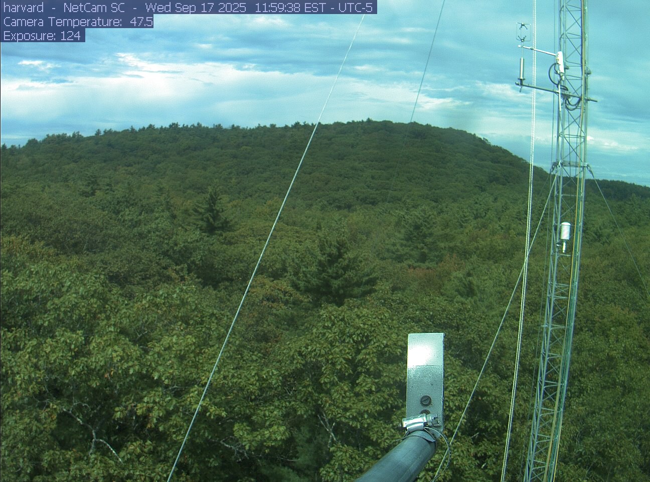
PhenoCam Network / Harvard Forest
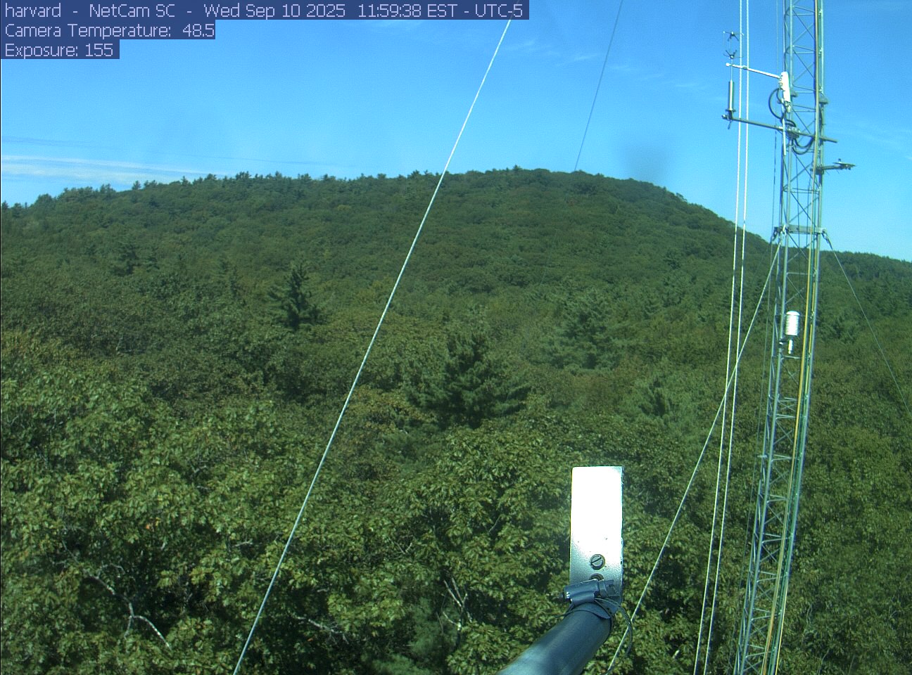
PhenoCam Network / Harvard Forest
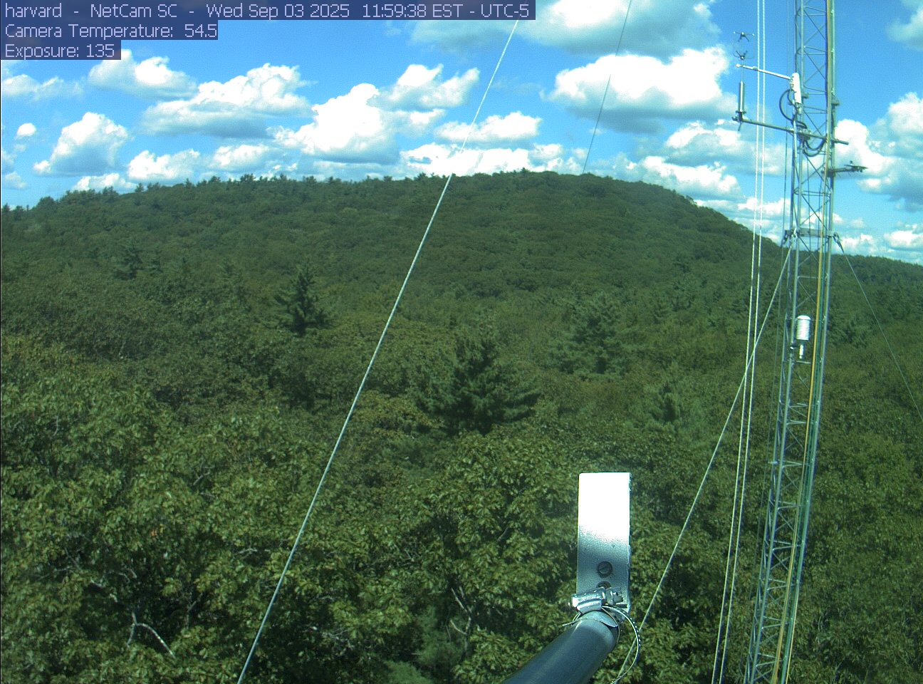
PhenoCam Network / Harvard Forest
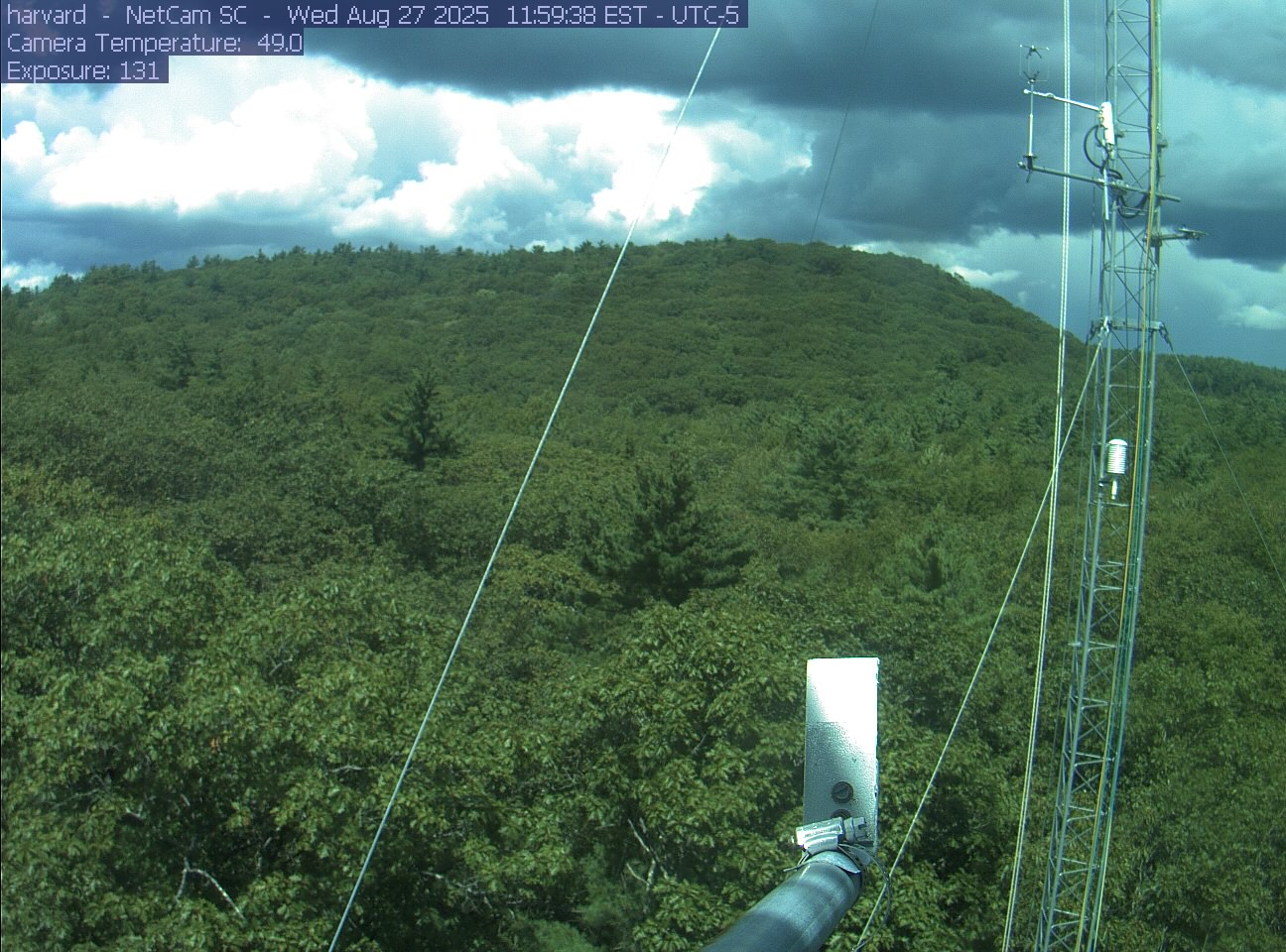
PhenoCam Network / Harvard Forest
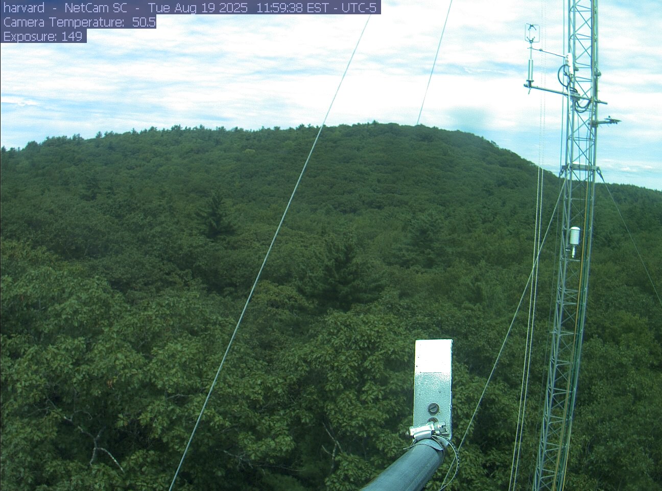
PhenoCam Network / Harvard Forest
Harvard Forest has public walking trails. Start with the trail map and parking information below; the camera tower is not a visitor viewpoint.
The forest publishes trail maps and parking locations, including the Fisher Museum at 324 North Main Street. Stay on designated trails; the tower camera is not a visitor viewpoint.
The operator says the 1.5-mile yellow-blazed Black Gum Trail is closed because of hazardous dying hemlocks. Other trails are not covered by this notice; no reopening date is given.
The museum lists October 12, 2026 as a holiday closure. This is a museum notice, not a closure of the forest’s public trails.