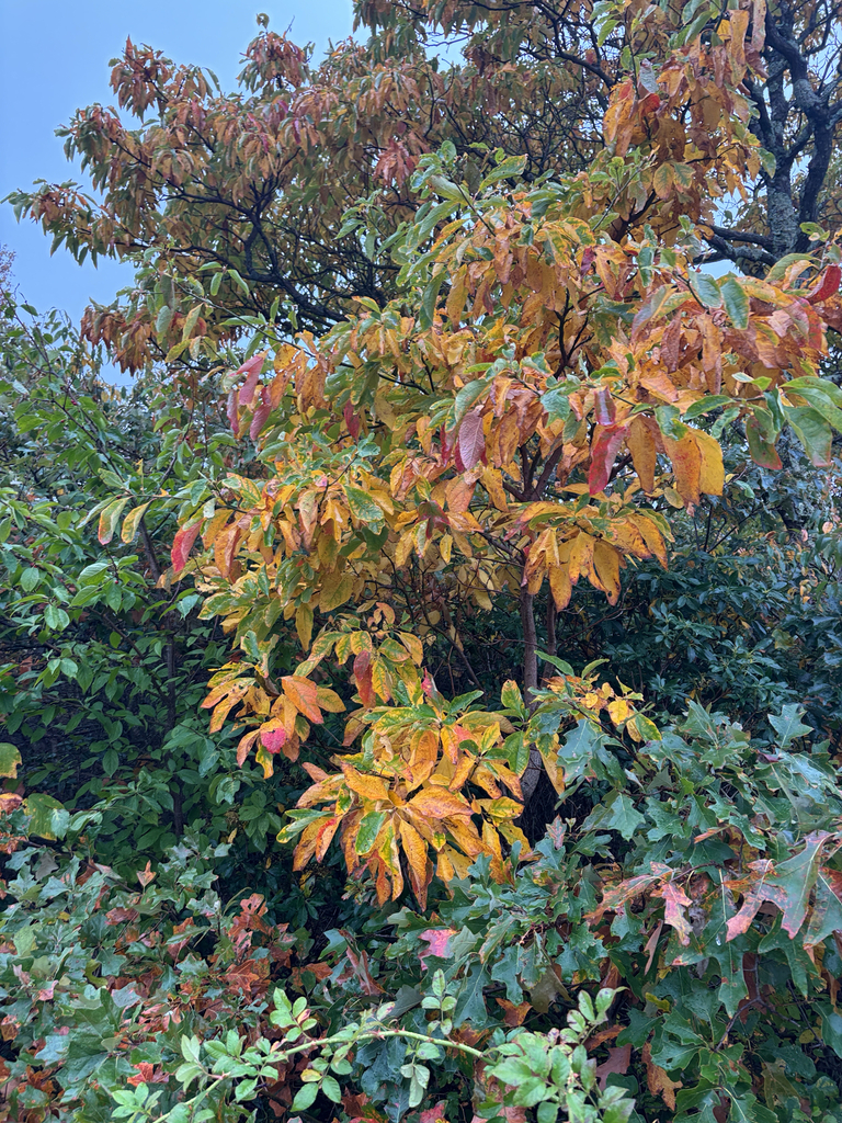
Sassafras gone orange, Tannersville
Photograph ·
Photograph by ellecallia · iNaturalist ↗ · CC BY-NC 4.0 ↗
Tannersville, Pennsylvania
Pennsylvania
Autumn Guide ↗ expects the peak at Mount Tammany around . The estimate is for that one spot; slopes higher or lower nearby can turn earlier or later.
Photographs of Jim Thorpe, Pocono Mountains and the country around it, newest first, with the camera that looks at the place. Each is shown with the day it was taken.
Photograph ·
Photograph by ellecallia · iNaturalist ↗ · CC BY-NC 4.0 ↗
Tannersville, Pennsylvania

Photograph ·
Photograph by dlkautzphoto · Flickr ↗ · All Rights Reserved ↗
Race Street, Jim Thorpe, Pennsylvania

Photograph ·
Photograph by MaraWanders · Flickr ↗ · All Rights Reserved
Lehigh River at Jim Thorpe, Pennsylvania

Photograph ·
Photograph by MaraWanders · Flickr ↗ · All Rights Reserved
Lehigh River at Jim Thorpe, Pennsylvania
Use the named camera for this area, then check access with the destination operator. A camera location is not a parking or trail entrance; the link below opens the camera’s page.
Town streets, station activity and woodland behind Jim Thorpe.
Pocono Mountains Visitors Bureau · Pennsylvania
The named player should start automatically; press play if needed. Check for a readable daylight color scene. If the player is unavailable, try the camera’s page again later.
Taken between mid-September and late October in earlier years, these show how the season runs here.
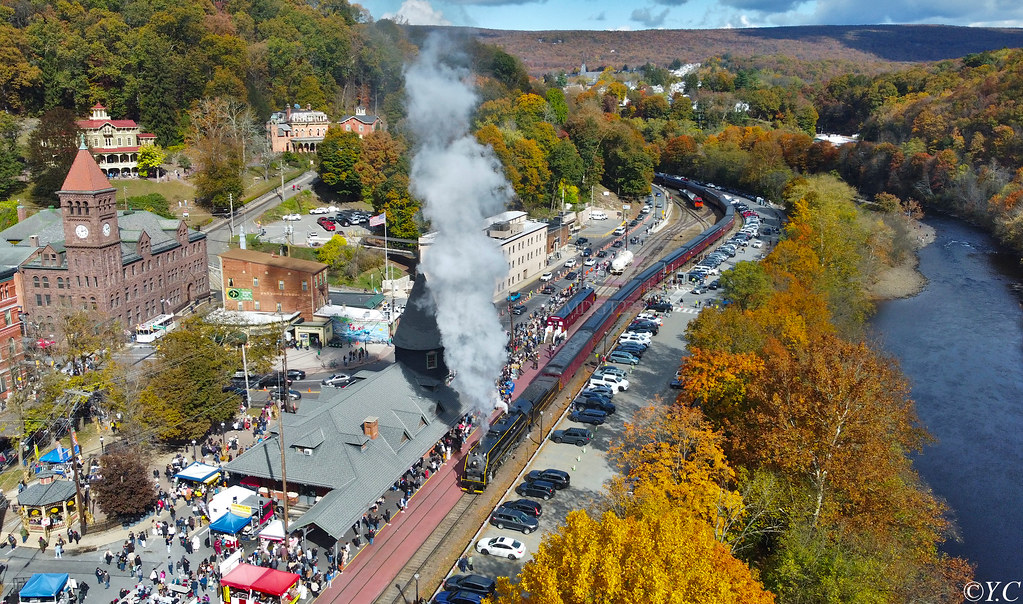
Photograph ·
Photograph by emdgt22 · Flickr ↗ · All Rights Reserved
Jim Thorpe depot and Lehigh River, Pennsylvania

Photograph ·
Photograph by imartin92 · Flickr ↗ · All Rights Reserved ↗
Big Pocono overlook area, Pennsylvania
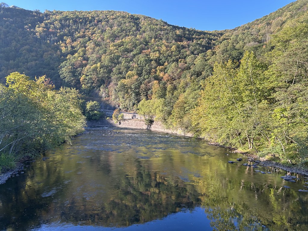
Photograph ·
Photograph by kateandress · Flickr ↗ · All Rights Reserved
Lehigh River at Jim Thorpe, Pennsylvania

Photograph ·
Photograph by Vincent Colombo · Flickr ↗ · All Rights Reserved
Lehigh Gorge near Jim Thorpe, Pennsylvania
_(10355544225).jpg)
Photograph ·
Photograph by Nicholas A. Tonelli from Northeast Pennsylvania, USA · Wikimedia Commons ↗ · CC BY 2.0 ↗
Appalachian Trail from Totts Gap to Mount Minsi

Photograph ·
Photograph by Jonathansammy · Wikimedia Commons ↗ · CC BY-SA 4.0 ↗
Lehigh River at Jim Thorpe
Use the named camera for this area, then check access with the destination operator. A camera location is not a parking or trail entrance.