
Pawtuxet River at Riverpoint
Photograph ·
Photograph by This.Usually.Works · Flickr ↗ · CC BY-NC-ND 4.0 ↗
Providence & inland Rhode Island
Rhode Island
Autumn Guide ↗ expects the peak at Colt State Park around . The estimate is for that one spot; slopes higher or lower nearby can turn earlier or later.
Photographs of Rhode Island coastal parks and the country around it, newest first, with cameras around the place and beyond. Each is shown with the day it was taken.
Photograph ·
Photograph by This.Usually.Works · Flickr ↗ · CC BY-NC-ND 4.0 ↗
Providence & inland Rhode Island

Photograph ·
Photograph by This.Usually.Works · Flickr ↗ · CC BY-NC-ND 4.0 ↗
Providence & inland Rhode Island
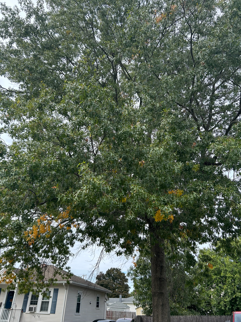
Photograph ·
Photograph by Ashley P · iNaturalist ↗ · CC BY-NC 4.0 ↗
Pawtucket, Rhode Island
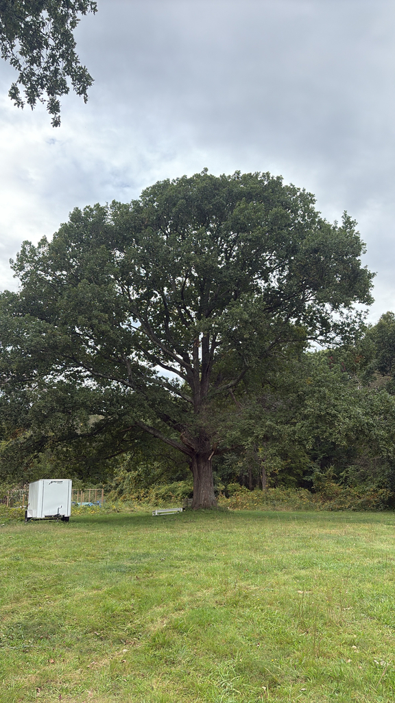
Photograph ·
Photograph by GabeZagaja · iNaturalist ↗ · CC BY-NC 4.0 ↗
Narragansett, Rhode Island
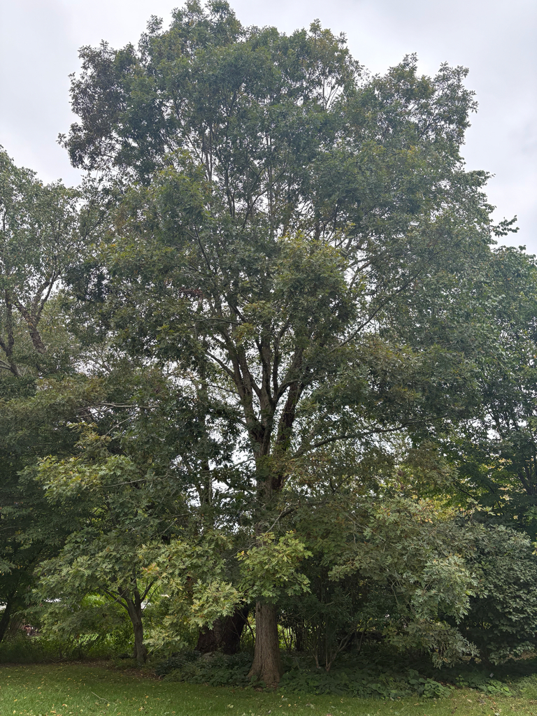
Photograph ·
Photograph by jacklafay · iNaturalist ↗ · CC BY-NC 4.0 ↗
Kingston, Rhode Island

Photograph ·
Photograph by Emayges · Flickr ↗ · All Rights Reserved ↗
Newport town park, Rhode Island
Newport and the inland reservoirs are separate outings, not identical scenes; the links below open the cameras’ pages.
A water-monitoring camera near North Scituate; the amount of useful canopy still needs checking.
USGS · North Scituate, Rhode Island
Follow the current image or viewer link. Inspect the frame itself; a recent water-level measurement does not date the photograph.
Woodland beside I-95 at Weaver Hill Road in West Greenwich.
Rhode Island Department of Transportation · Rhode Island
Open the I-95 section and find Weaver Hill Road. Use the printed date and a daylight color view; the night view is useful for traffic only.
Woodland on both sides of I-95 between exits 9 and 14A.
Rhode Island Department of Transportation · Rhode Island
Open the I-95 section and find Tefft Hill (Between Exits 9 & 14A). Read the date on the image and inspect the trees on both sides of the road.
A narrower strip of trees beside US 1 at Saugatucket Road.
Rhode Island Department of Transportation · Rhode Island
Open the Route 1 section, then find Saugatucket Road. The section starts collapsed. Use a daylight image for color and the road view for immediate traffic.
Taken between late October and mid-November in an earlier year, these show how the season runs here.

Photograph ·
Photograph by kbruff · Flickr ↗ · All Rights Reserved
Miantonomi Park woods, Newport, Rhode Island

Photograph ·
Photograph by kbruff · Flickr ↗ · All Rights Reserved
Miantonomi Park memorial tower, Newport, Rhode Island

Photograph ·
Photograph by comtrag · Flickr ↗ · All Rights Reserved
Stump Pond, Smithfield, Rhode Island
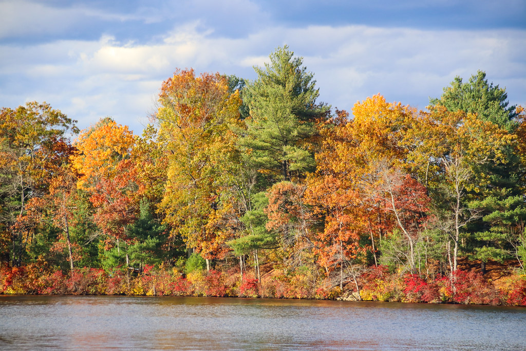
Photograph ·
Photograph by comtrag · Flickr ↗ · All Rights Reserved
Stump Pond, Log Road parking area, Smithfield, Rhode Island
Newport and the inland reservoirs are separate outings, not identical scenes.