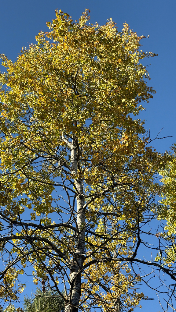
Aspen crown going gold, Saranac Lake
Photograph ·
Photograph by Avery Cunningham · iNaturalist ↗ · CC BY-NC 4.0 ↗
Saranac Lake, New York
New York
Autumn Guide ↗ put the peak at Whiteface Veterans Memorial Highway around . That day has gone, so the newest pictures below are the truer guide to what is left on the trees.
Photographs of Whiteface Veterans Memorial Highway and the country around it, anywhere within 25 miles of Whiteface Veterans Memorial Highway, newest first, with cameras around the place and beyond. Each is shown with the day it was taken.
Photograph ·
Photograph by Avery Cunningham · iNaturalist ↗ · CC BY-NC 4.0 ↗
Saranac Lake, New York
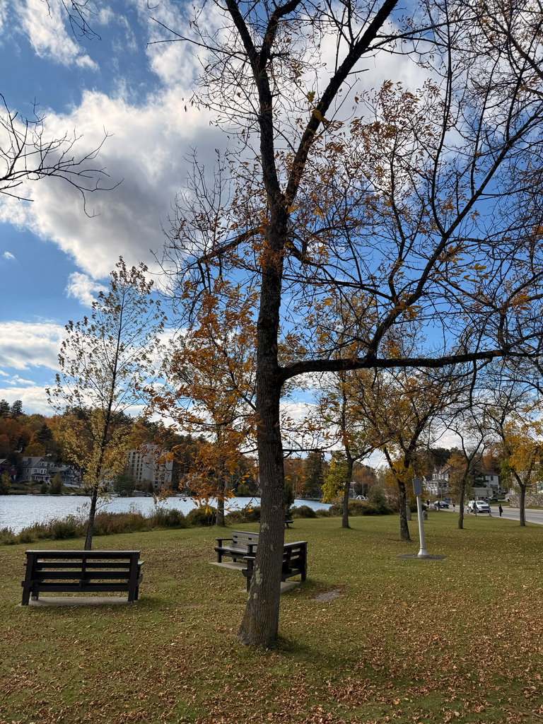
Photograph ·
Photograph by Julianna Skill · iNaturalist ↗ · CC BY-NC 4.0 ↗
Saranac Lake, New York

Photograph ·
Photograph by danny wild · Flickr ↗ · All Rights Reserved ↗
Ausable River near Lake Placid, New York

Photograph ·
Photograph by danny wild · Flickr ↗ · All Rights Reserved
Lake Placid (the lake), New York

Photograph ·
Photograph by NCPR · Flickr ↗ · All Rights Reserved
Mount Adams fire tower, High Peaks, New York

Photograph ·
Photograph by danny wild · Flickr ↗ · All Rights Reserved ↗
Lake Placid view from Whiteface, New York

Photograph ·
Photograph by danny wild · Flickr ↗ · All Rights Reserved
Ausable River near Lake Placid, New York

Photograph ·
Photograph by danny wild · Flickr ↗ · All Rights Reserved
High Falls Gorge, Wilmington, New York

Photograph ·
Photograph by danny wild · Flickr ↗ · All Rights Reserved
Floodwood and Santa Clara area, Adirondacks, New York

Photograph ·
Photograph by NCPR · Flickr ↗ · All Rights Reserved
Saranac Lake, New York, looking toward the High Peaks

Photograph ·
Photograph by wallyg · Flickr ↗ · CC BY-NC-ND 4.0 ↗
Mirror Lake, Lake Placid, New York
Views here are matched to this named place and what lies around it; each card says what is known of where and when it was taken. A linked report or camera may cover a wider area, and a linked photo search still needs its dates and places read; the links below open the cameras’ pages.
Whiteface’s own cameras look out from different heights on the mountain.
Whiteface · Whiteface, New York
Select a current daylight camera and compare summit with lower views. Check road access separately before planning a drive up Whiteface.
A page of the region’s cameras, each named for its view.
Adirondack tourism · Adirondacks, New York
Choose a camera near the destination, follow its original page and check its clock. Not every camera on that page is near Whiteface Veterans Memorial Highway; check where each one stands.
Taken between late September and early November in earlier years, these show how the season runs here.
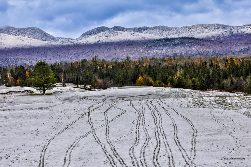
Photograph ·
Photograph by NCPR · Flickr ↗ · All Rights Reserved
Lake Placid Club golf course, Lake Placid, New York
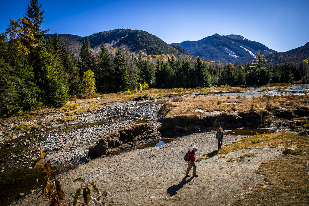
Photograph ·
Photograph by NCPR · Flickr ↗ · All Rights Reserved
Marcy Dam, High Peaks, New York

Photograph ·
Photograph by Miche & Jon Rousell · Flickr ↗ · All Rights Reserved
Moody Pond, Saranac Lake, New York

Photograph ·
Photograph by Miche & Jon Rousell · Flickr ↗ · All Rights Reserved
Cascade Lake, near Lake Placid, New York

Photograph ·
Photograph by Miche & Jon Rousell · Flickr ↗ · All Rights Reserved
Baker Mountain view over Saranac Lake village, New York

Photograph ·
Photograph by Miche & Jon Rousell · Flickr ↗ · All Rights Reserved
Ampersand Mountain, near Saranac Lake, New York

Photograph ·
Photograph by fstopsteve1 · Flickr ↗ · All Rights Reserved
Lake Placid area, Adirondacks, New York

Photograph ·
Photograph by fstopsteve1 · Flickr ↗ · All Rights Reserved
Heart Lake below Algonquin, near Lake Placid, New York

Photograph ·
Photograph by fstopsteve1 · Flickr ↗ · All Rights Reserved
Lake Placid area, Adirondacks, New York

Photograph ·
Photograph by NCPR · Flickr ↗ · All Rights Reserved
Whiteface Landing, Lake Placid, New York
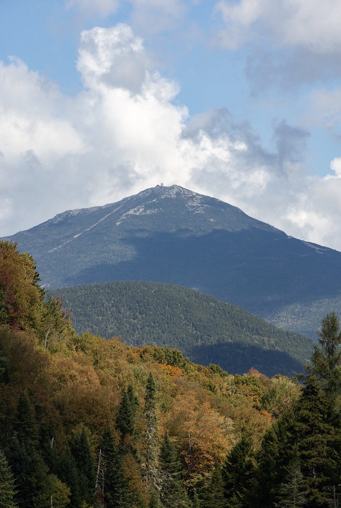
Photograph ·
Photograph by NCPR · Flickr ↗ · All Rights Reserved
Whiteface from the West Branch Ausable River, New York

Photograph ·
Photograph by en:User:Mwanner · Wikimedia Commons ↗ · CC BY-SA 3.0
Lower Saranac Lake
Views here are matched to this named place and what lies around it; each card says what is known of where and when it was taken. A linked report or camera may cover a wider area, and a linked photo search still needs its dates and places read.