
Autumn Across the Vermont Hills
Photograph ·
Photograph by PaulWMiller · Flickr ↗ · All Rights Reserved
Wilmington & the Deerfield Valley
Vermont
Autumn Guide ↗ put the peak at Woodstock Village around . That day has gone, so the newest pictures below are the truer guide to what is left on the trees.
Photographs of Londonderry & Bromley and the country around it, newest first. Each is shown with the day it was taken.
Photograph ·
Photograph by PaulWMiller · Flickr ↗ · All Rights Reserved
Wilmington & the Deerfield Valley
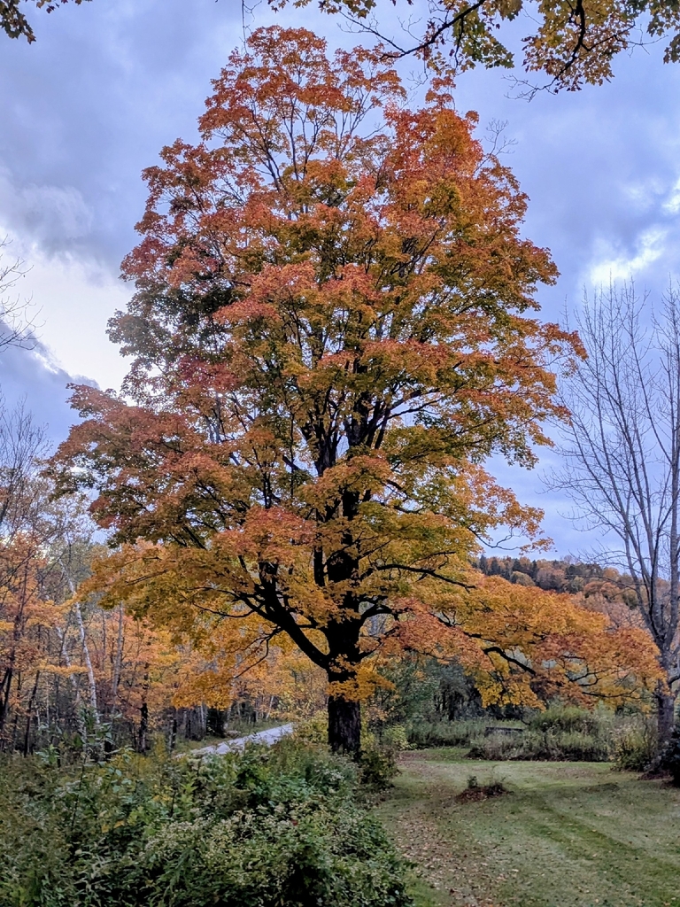
Photograph ·
Photograph by JCorven · iNaturalist ↗ · CC BY 4.0 ↗
Mount Holly, Vermont

Photograph ·
Photograph by vermont251adventures · Flickr ↗ · All Rights Reserved
Okemo summit, Ludlow Mountain, Ludlow, Vermont

Photograph ·
Photograph by vermont251adventures · Flickr ↗ · All Rights Reserved
Okemo summit, Ludlow Mountain, Ludlow, Vermont
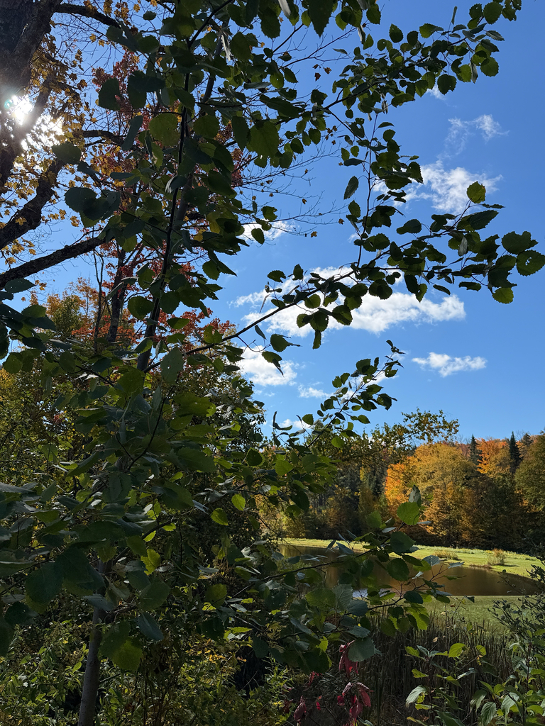
Photograph ·
Photograph by harrietd428 · iNaturalist ↗ · CC BY-NC 4.0 ↗
Londonderry, Vermont
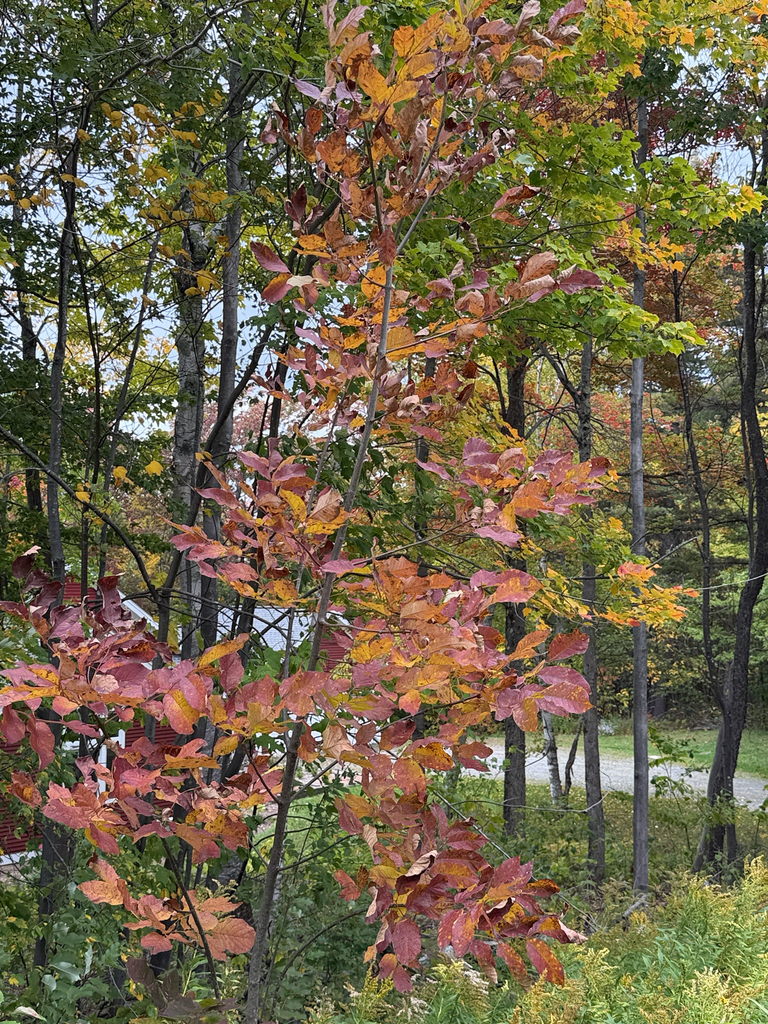
Photograph ·
Photograph by harrietd428 · iNaturalist ↗ · CC BY-NC 4.0 ↗
Bondville, Vermont

Photograph ·
Photograph by Putneypics · Flickr ↗ · CC BY-NC 4.0 ↗
West River Trail, Brattleboro, Vermont

Photograph ·
Photograph by Gary/-King · Flickr ↗ · All Rights Reserved
Bromley Mountain area, southern Vermont

Photograph ·
Photograph by Gary/-King · Flickr ↗ · All Rights Reserved
West River, South Londonderry, Vermont
Taken between early September and late November in earlier years, these show how the season runs here.

Photograph ·
Photograph by Putneypics · Flickr ↗ · CC BY-NC 4.0 ↗
West River Trail, Brattleboro, Vermont
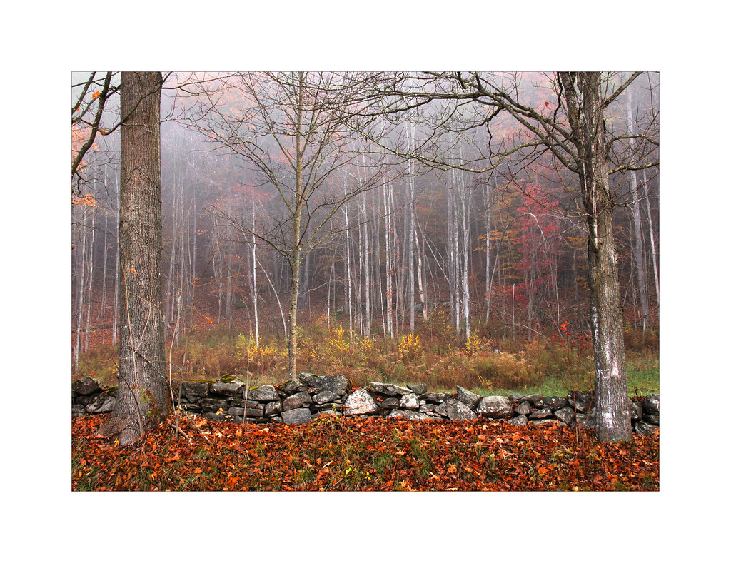
Photograph ·
Photograph by tjohn611 · Flickr ↗ · All Rights Reserved
Chester, Vermont (a stone wall)

Photograph ·
Photograph by Paul-W · Flickr ↗ · CC BY-NC-SA 4.0 ↗
Freedley Quarry trail, Dorset, Vermont

Photograph ·
Photograph by Paul-W · Flickr ↗ · CC BY-NC-SA 4.0 ↗
Freedley Quarry trail, Dorset, Vermont

Photograph ·
Photograph by Paul-W · Flickr ↗ · CC BY-NC-SA 4.0 ↗
Freedley Quarry trail, Dorset, Vermont
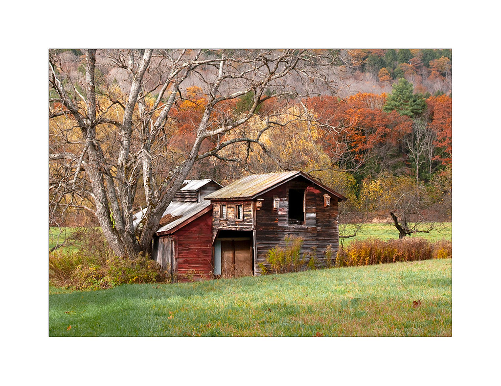
Photograph ·
Photograph by tjohn611 · Flickr ↗ · All Rights Reserved
Chester, Vermont (a sugar house)

Photograph ·
Photograph by jlucierphoto · Flickr ↗ · All Rights Reserved
West Arlington covered bridge and church, Arlington, Vermont

Photograph ·
Photograph by Professor Bop · Flickr ↗ · All Rights Reserved
Ward's Cove, Harriman Reservoir, Wilmington, Vermont

Photograph ·
Photograph by TheGreatWiseAss · Flickr ↗ · All Rights Reserved
Monastery Overlook, Mount Equinox, Manchester, Vermont

Photograph ·
Photograph by tjohn611 · Flickr ↗ · All Rights Reserved
West River behind the mill, Weston, Vermont

Photograph ·
Photograph by MIKECNY · Flickr ↗ · All Rights Reserved
Battenkill River, West Arlington, Vermont

Photograph ·
Photograph by 72Prep · Flickr ↗ · All Rights Reserved
Skyline Drive, Mount Equinox, Arlington and Manchester, Vermont

Photograph ·
Photograph by MarcBogonovich · Wikimedia Commons ↗ · CC BY-SA 4.0 ↗
Mount Aeolus, Dorset, Vermont

Photograph ·
Photograph by MarcBogonovich · Wikimedia Commons ↗ · CC BY-SA 4.0 ↗
Prentiss Pond, Dorset, Vermont

Photograph ·
Photograph by MarcBogonovich · Wikimedia Commons ↗ · CC BY-SA 4.0 ↗
Prentiss Pond, Dorset, Vermont

Photograph ·
Photograph by Famartin · Wikimedia Commons ↗ · CC BY-SA 4.0 ↗
Warm Brook, East Arlington

Photograph ·
Photograph by Famartin · Wikimedia Commons ↗ · CC BY-SA 4.0 ↗
Saint Bruno Scenic Viewing Area, Mount Equinox

Photograph ·
Photograph by Famartin · Wikimedia Commons ↗ · CC BY-SA 4.0 ↗
Mount Equinox, about 3,350 feet
_at_Muddy_Lane_in_Manchester,_Bennington_County,_Vermont.jpg)
Photograph ·
Photograph by Famartin · Wikimedia Commons ↗ · CC BY-SA 4.0 ↗
Historic Vermont Route 7A
.jpg)
Photograph ·
Photograph by Ethan Long · Wikimedia Commons ↗ · CC BY-SA 2.0 ↗
North Shire Lodge, Manchester, Vermont
The village, river and mountain photos offer different elevations and settings. The current selection begins with September views.