
Art Loeb Trail
Photograph ·
Photograph by greer82496 · Flickr ↗ · All Rights Reserved
5 miles from here
North Carolina
Autumn Guide’s forecast ↗ put the peak at Blue Ridge Parkway, Graveyard Fields, around . That day has passed; newer pictures are the better guide.
As of , the newest picture is from the camera at Purchase Knob, 22 miles from here, taken (1 day earlier). The newest nearby photograph is from (2 days earlier), 6 miles from here.
The nearest camera, French Broad River near Bent Creek, 20 miles from here: its three pictures from the past 7 days, newest first.
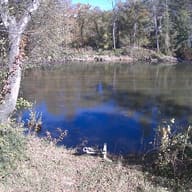
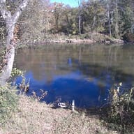
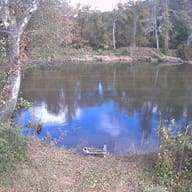
No photograph from here has been posted this fall.
Photographs from within 25 miles of here, a few chosen pictures first, then the newest.
Photograph ·
Photograph by greer82496 · Flickr ↗ · All Rights Reserved
5 miles from here

Photograph ·
Photograph by greer82496 · Flickr ↗ · All Rights Reserved
6 miles from here

Photograph ·
Photograph by watr-nc · Flickr ↗ · All Rights Reserved
Blue Ridge Parkway at Waterrock Knob

Photograph ·
Photograph by watr-nc · Flickr ↗ · All Rights Reserved
Blue Ridge Parkway at Waterrock Knob

Photograph ·
Photograph by kingdufus · Flickr ↗ · All Rights Reserved
Blue Ridge Parkway at Craggy Gardens
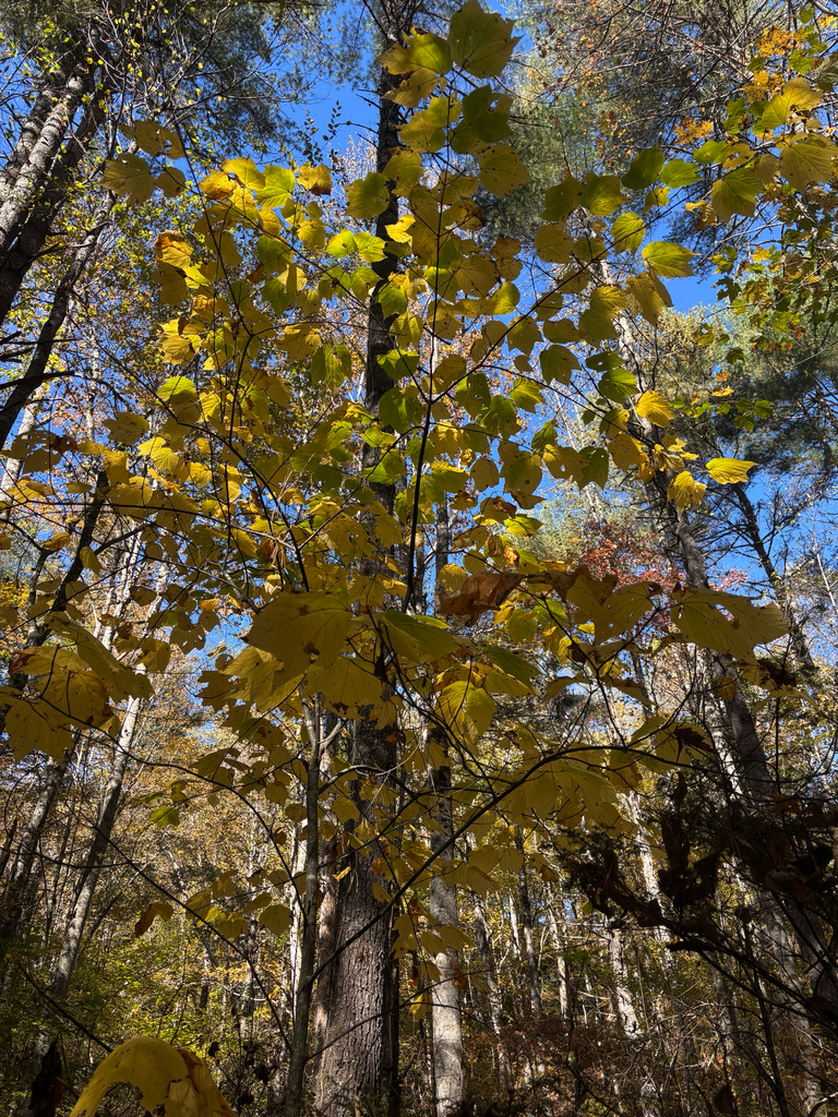
Photograph ·
Photograph by blackberryio · iNaturalist ↗ · CC BY-NC 4.0 ↗
Blue Ridge Parkway at Waterrock Knob
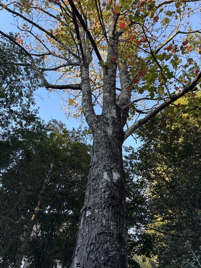
Photograph ·
Photograph by Margo P · iNaturalist ↗ · CC BY-NC 4.0 ↗
DuPont State Recreational Forest

Photograph ·
Photograph by Scott Thomas Photography · Flickr ↗ · CC BY-NC-ND 4.0 ↗
Blue Ridge Parkway at Waterrock Knob

Photograph ·
Photograph by BartShore · Flickr ↗ · All Rights Reserved
DuPont State Recreational Forest
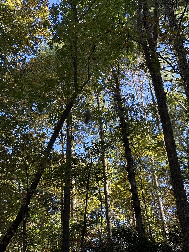
Photograph ·
Photograph by BartShore · Flickr ↗ · All Rights Reserved
DuPont State Recreational Forest
These cameras are within 25 miles of Graveyard Fields. This site collects their pictures every morning; follow them day by day on the Cameras page.
Check the park or tourism source for access and closures before travel; this entry does not report current color.