
Trees above Sand Beach
Photograph ·
Photograph by BDFri2012 · Flickr ↗ · All Rights Reserved
Sand Beach, Acadia National Park, Maine
Maine
Autumn Guide’s forecast ↗ put the peak at Acadia National Park, Park Loop Road, around . That day has passed; newer pictures are the better guide.
As of , the newest picture is from the camera at Acadia panorama, 23 miles from here, taken (1 day earlier). The newest nearby photograph is from (26 days earlier), at Sand Beach, Acadia National Park, about the same distance away.
The nearest camera, Acadia panorama, 23 miles from here: its seven pictures from the past 7 days, newest first.
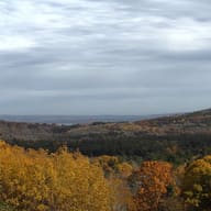
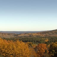
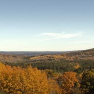
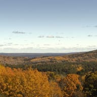
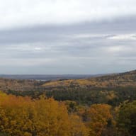
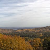
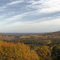
No photograph from here has been posted this fall.
Photographs from within 25 miles of here, newest first.
Photograph ·
Photograph by BDFri2012 · Flickr ↗ · All Rights Reserved
Sand Beach, Acadia National Park, Maine
This camera is within 25 miles of Cherryfield. This site collects its picture every morning; follow it day by day on the Cameras page.
Taken between late September and early November in earlier years, these show how the season runs here.

Photograph ·
Photograph by Gary/-King · Flickr ↗ · All Rights Reserved
Mosquito Harbor, Schoodic Peninsula, Acadia National Park, Maine
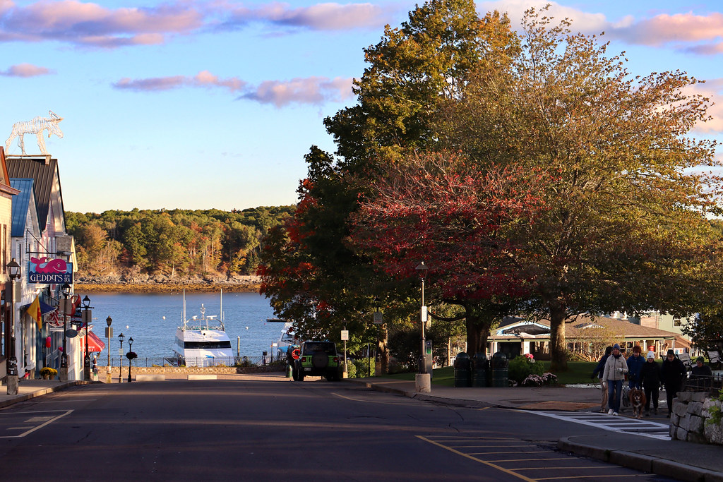
Photograph ·
Photograph by njamesphotography · Flickr ↗ · All Rights Reserved
Main Street at the harbor, Bar Harbor, Maine

Photograph ·
Photograph by - Ozymandias - · Flickr ↗ · All Rights Reserved
Bar Harbor, Acadia National Park, Maine

Photograph ·
Photograph by Seasider53 · Wikimedia Commons ↗ · CC BY-SA 4.0 ↗
Grant Park, Bar Harbor

Photograph ·
Photograph by Brian Snelson · Wikimedia Commons ↗ · CC BY 2.0 ↗
Cadillac Mountain, looking at Bar Harbor

Photograph ·
Photograph by Smudge 9000 · Wikimedia Commons ↗ · CC BY 2.0 ↗
Bar Harbor, Maine
Check the park or tourism source for access and closures before travel; this entry does not report current color.