
POTD 291-2026
Photograph ·
Photograph by Webtraverser · Flickr ↗ · All Rights Reserved
Shelburne Falls & the Mohawk Trail
Massachusetts
The Deerfield river and northern hill towns carry the Mohawk Trail across western Massachusetts.
Maple, oak, birch and beech colour the uplands, valleys and town parks.
As of , 6 photographs from this autumn have come from here; the newest was taken on (4 days earlier).
Photographs taken anywhere in the Mohawk Trail & Franklin County this autumn, newest first, then its viewpoints, camera and drive.
Photograph ·
Photograph by Webtraverser · Flickr ↗ · All Rights Reserved
Shelburne Falls & the Mohawk Trail
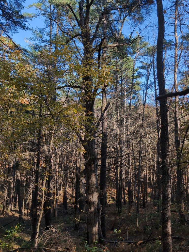
Photograph ·
Photograph by Jack Cadwell · iNaturalist ↗ · CC BY-NC 4.0 ↗
Harvard Forest
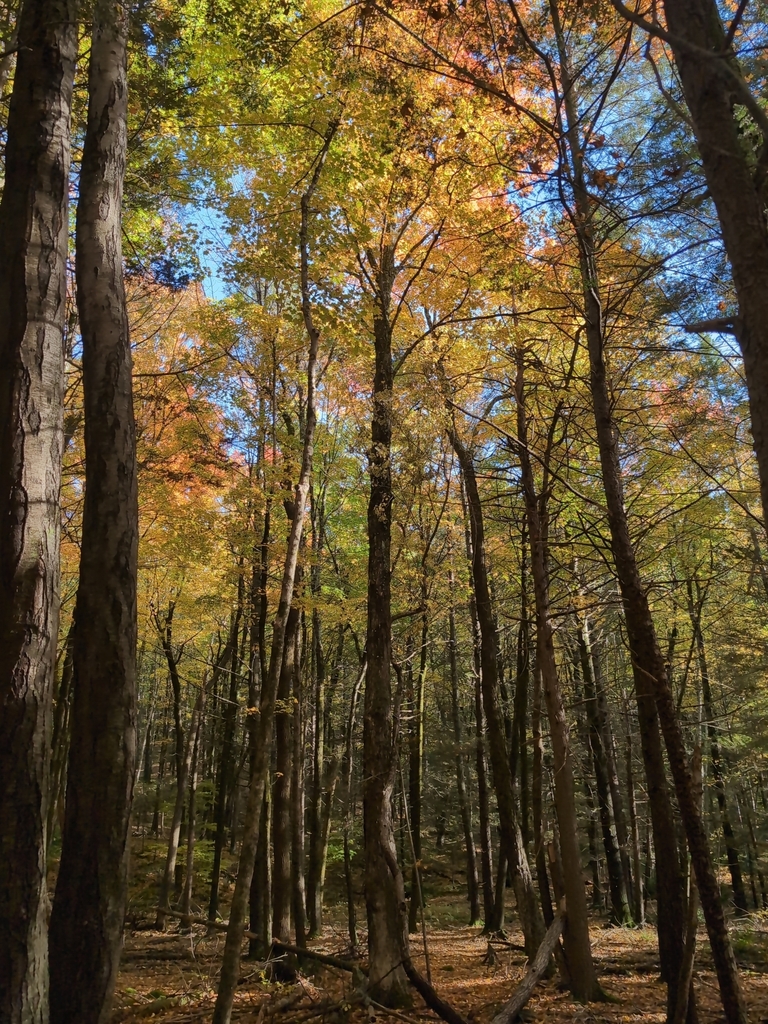
Photograph ·
Photograph by Jack Cadwell · iNaturalist ↗ · CC BY-NC 4.0 ↗
Pioneer Valley & Mount Sugarloaf

Photograph ·
Photograph by james mantzios · Flickr ↗ · All Rights Reserved
French King Bridge, Mohawk Trail, Massachusetts

Photograph ·
Photograph by gtxjimmy · Flickr ↗ · All Rights Reserved
Shelburne Falls, Massachusetts, on the Deerfield River
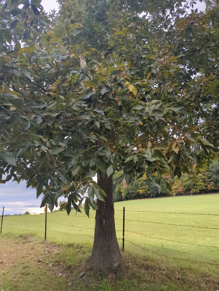
Photograph ·
Photograph by Mona Seno · iNaturalist ↗ · CC BY-NC 4.0 ↗
Gill, Massachusetts
The places on this site inside the Mohawk Trail & Franklin County.

Its newest photograph ·
Photograph by Arlo Guthrie · Flickr ↗ · All Rights Reserved
Washington & October Mountain area
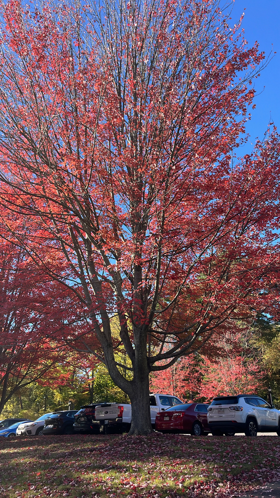
Its newest photograph ·
Photograph by eem · iNaturalist ↗ · CC BY-NC 4.0 ↗
Pioneer Valley & Mount Sugarloaf
This camera stands inside the Mohawk Trail & Franklin County, and the site looks at it every morning; the Cameras page shows its days one after another.
A drive on the Trips page passes through the Mohawk Trail & Franklin County.